
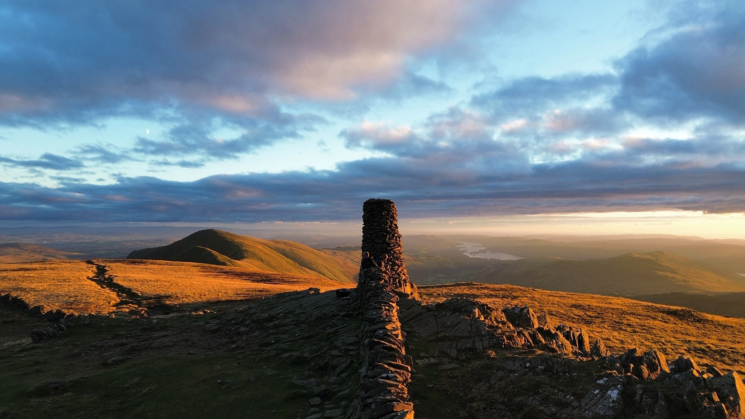



Start Bagging
Pick a list, find a summit, plan your walk. Every peak comes with its height, grid reference and a photo, plus a circular walk from a car park with a GPX file and links to OS Maps, AllTrails or Komoot, directions to the start and the drive time from you. Members can tick off each one they climb and track their progress.
Hill Maps
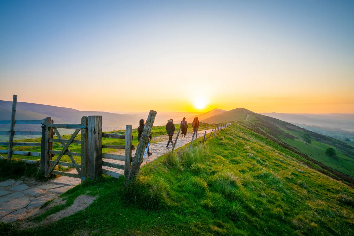 95 Peaks
The Peak District's hilltops over 400 metres, plus a handful of lower but prominent hills, 95 in all, named after campaigner Ethel Haythornthwaite. 57 walks cover every one.Peak District · 57 WalksThe Ethels
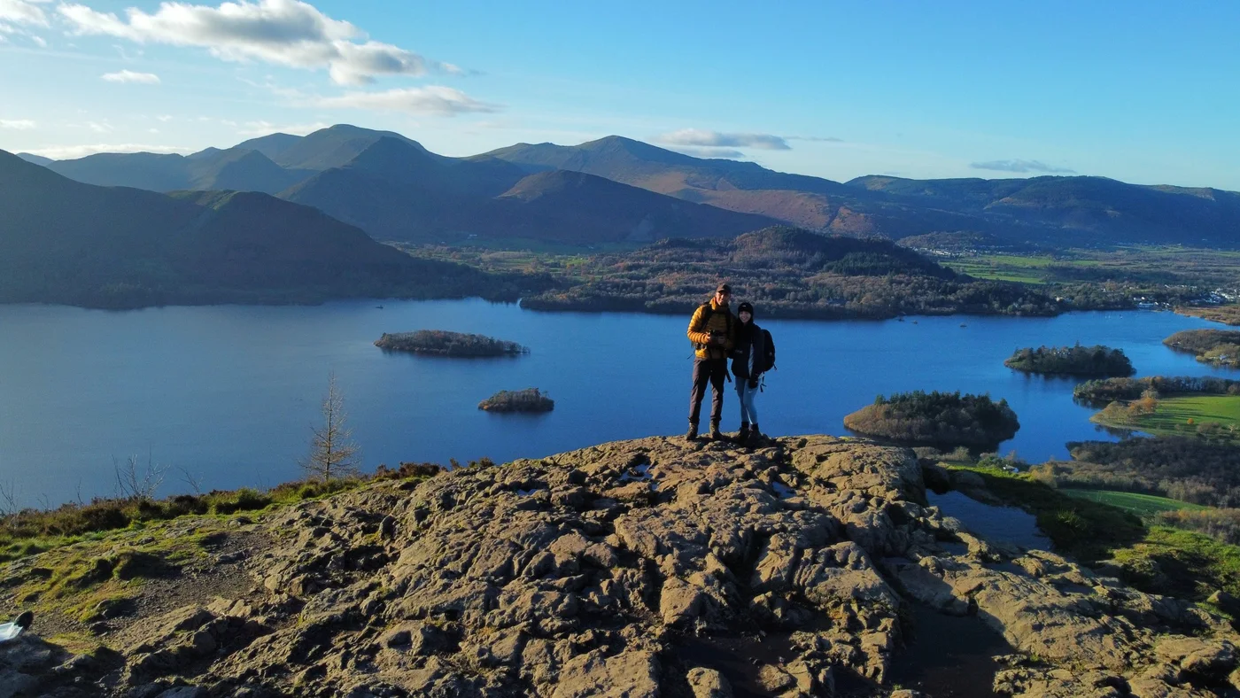 214 Peaks
The 214 Lake District fells in Alfred Wainwright's seven Pictorial Guides, with 60 circular walks and his seven books as filters.Lake District · 60 WalksThe Wainwrights
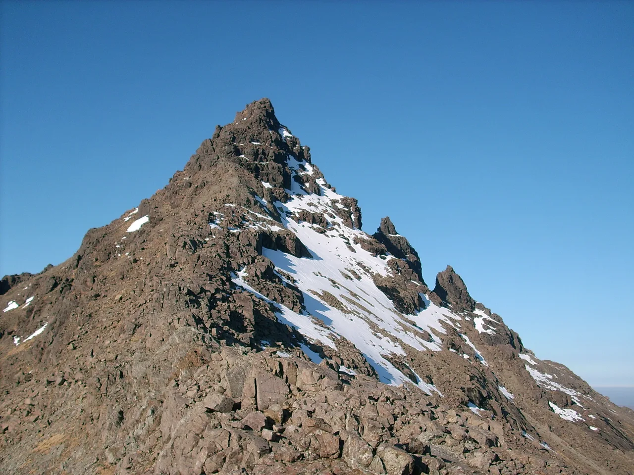 282 Peaks
Scotland's 282 mountains over 3,000 feet, with 125 walks and the 17 Munro regions as filters.Scottish Highlands · 125 WalksThe Munros
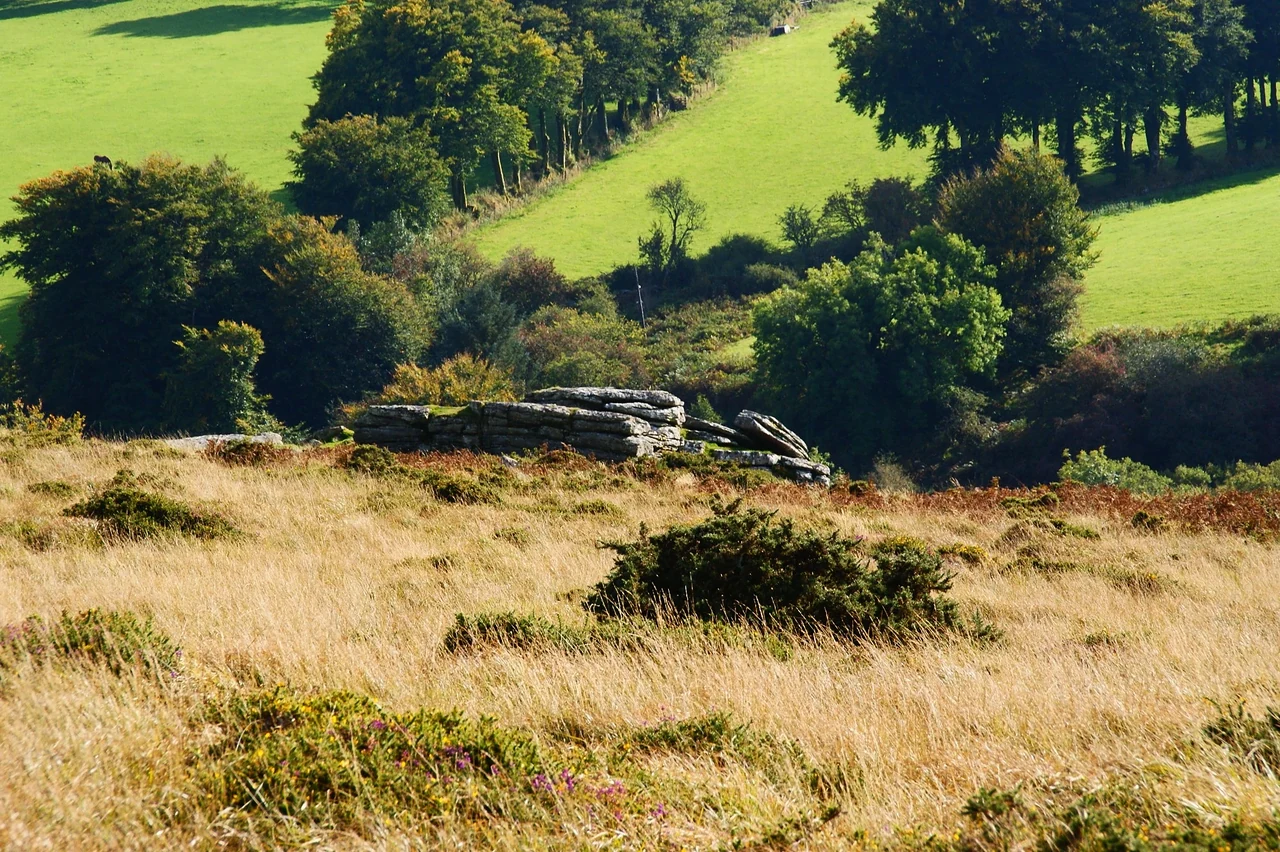 61 Peaks
Our own list of Dartmoor's 61 best tors, named after Lady Sylvia Sayer, with 23 walks covering them all.Dartmoor · 23 WalksThe Sylvias
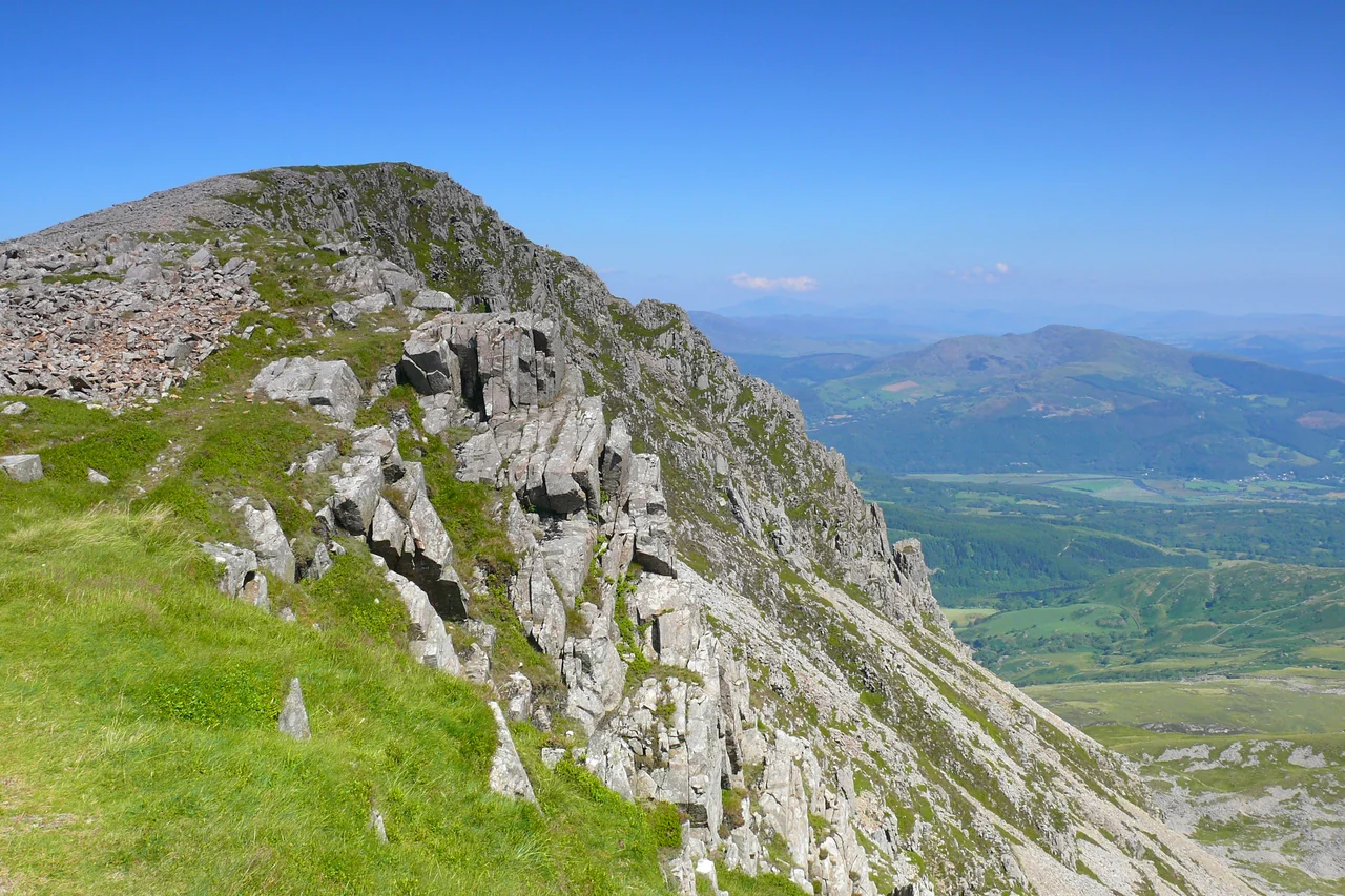 136 Peaks
Our own list of every Welsh mountain of 2,000 feet or more, 136 in all, named after Thomas Pennant, with 56 walks covering them all.Wales · 56 WalksThe Pennants
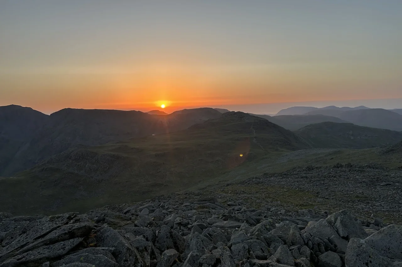 788 Peaks
Every hill from all five of our lists on one map, each with a route to follow. Filter by list and track the hills you've climbed.All 5 ListsAll Hills Map
Subscribe for updates on new hikes and National Parks
One email a month with new hikes and routes. No spam.
Start Bagging
Pick a list, find a summit, plan your walk. Every peak comes with its height, a photo and a circular route from a car park, and members can tick off each one they climb.
Hill Maps
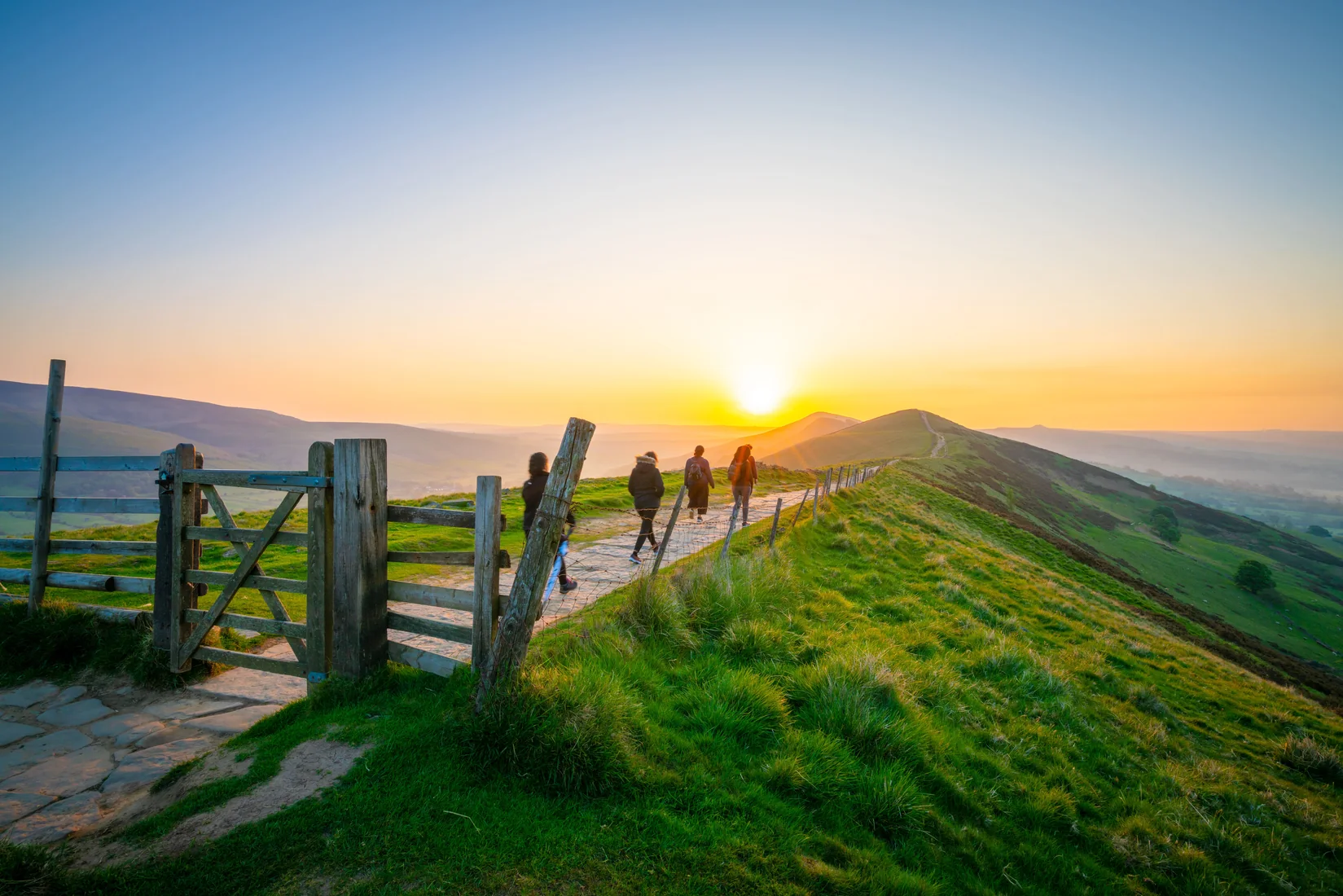 Peak DistrictThe Ethels Map95 Peaks57 WalksTrack Progress
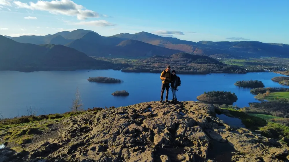 Lake DistrictThe Wainwrights Map214 Peaks60 WalksTrack Progress
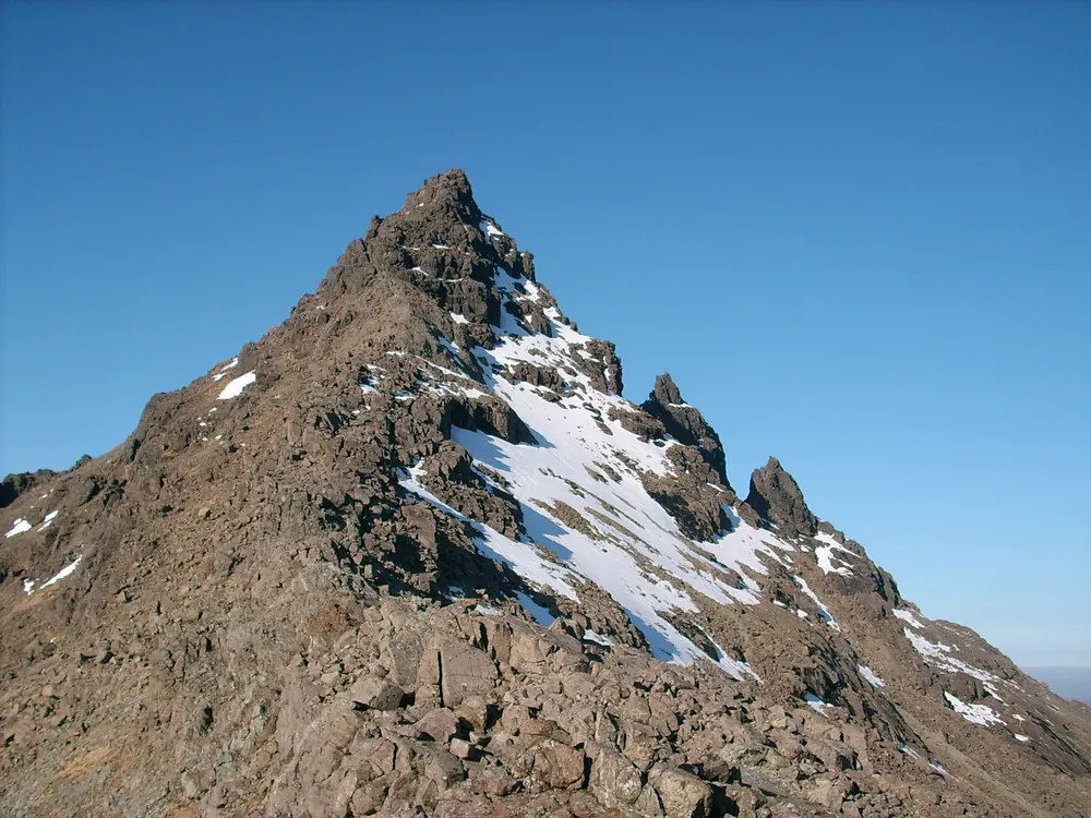 Scottish HighlandsThe Munros Map282 Peaks125 WalksTrack Progress
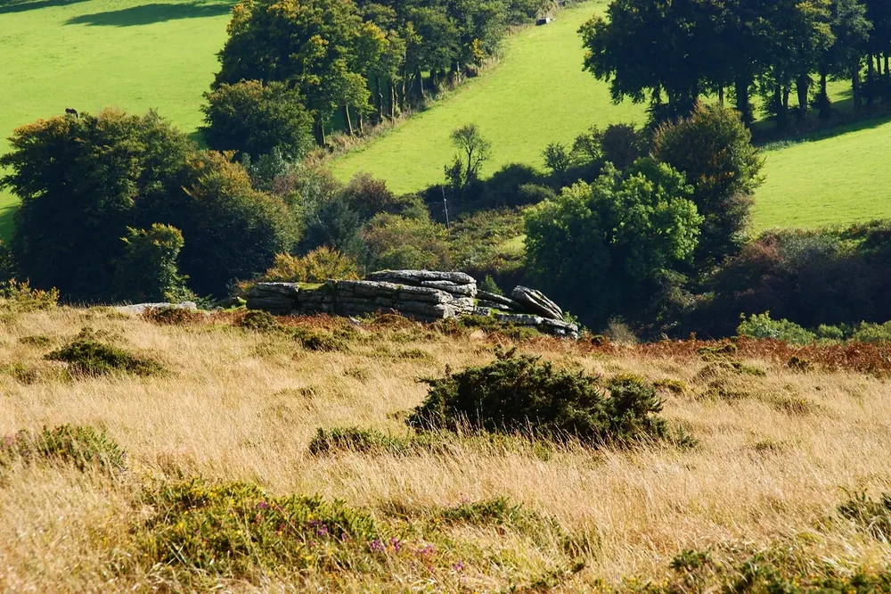 DartmoorThe Sylvias Map61 Peaks23 WalksTrack Progress
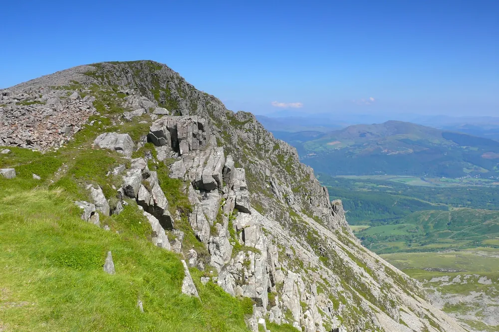 WalesThe Pennants Map136 Peaks56 WalksTrack Progress
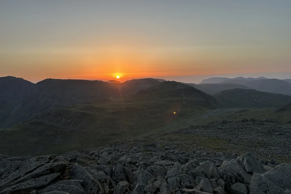 All 5 ListsAll Hills Map788 PeaksTrack Progress
Subscribe for updates on new hikes and National Parks
One email a month with new hikes and routes. No spam.
Photo credits
- The MunrosSteveMi, CC BY 3.0, via Wikimedia Commons. Cropped to fit.
- The SylviasHerbythyme, CC BY-SA 4.0, via Wikimedia Commons. Cropped to fit.
- The PennantsIan Medcalf, CC BY-SA 2.0, via Geograph. Cropped to fit.
Photos without a credit are our own. The others are used under Creative Commons licences, with thanks to the photographers.