


Overview
Wales is a country of mountains, from the rocky peaks of Snowdonia in the north to the long grassy ridges of the Brecon Beacons in the south. Most walkers who get into hill bagging there start with the Welsh 3000s, the fifteen tops over 3,000 feet, and then find there’s no list made just for Wales to carry on with.
So we made one. The Pennants are every Welsh mountain of 2,000 feet (609.6 metres) or more that rises at least 30 metres above the ground around it. That’s the same rule as the Hewitts, a list that also covers England and Ireland, used here for Wales alone.
Who Was Thomas Pennant?
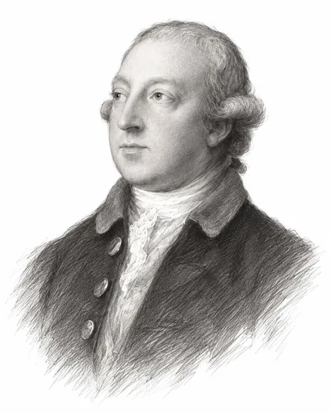
Thomas Pennant was born in 1726 at Downing, his family’s estate in Flintshire, and he is buried at Whitford church nearby. A naturalist and antiquary, he was made a Fellow of the Royal Society in 1767.
Between 1773 and 1776 he made three journeys through Wales and wrote them up as A Tour in Wales. The second, The Journey to Snowdon, took him through Snowdonia, the Llŷn Peninsula and Anglesey, with pictures by his servant and artist Moses Griffith. He climbed Snowdon in 1752 and again on his tours, and the National Library of Wales calls his tours the finest travel books of their age in Wales.
Pennant’s books sent travellers to the Welsh mountains for the first time, and his name comes from two Welsh words, pen and nant, the head of the valley. It felt right to name a list of Welsh summits after him.
How The List Works
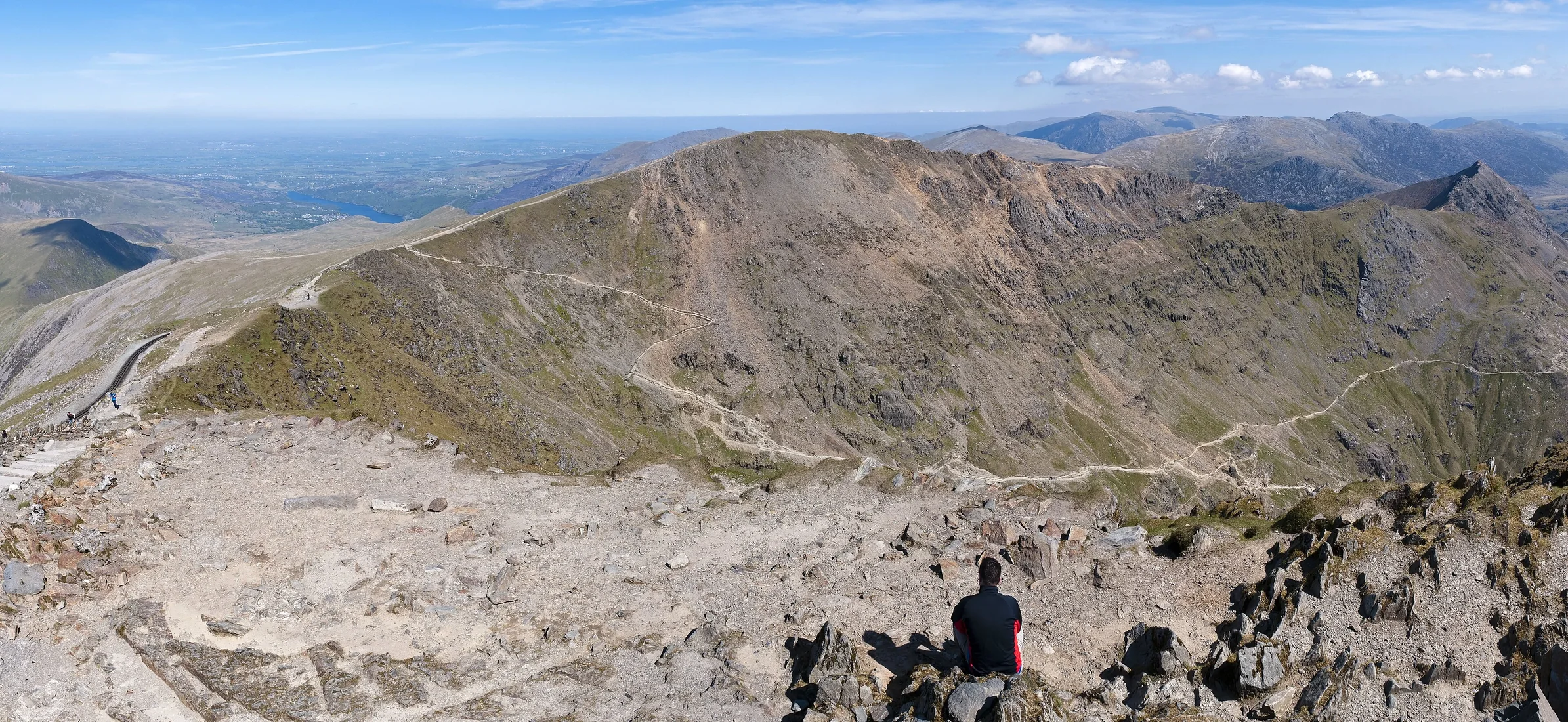
A hill makes the list if its summit is in Wales, it’s at least 2,000 feet high and you have to drop at least 30 metres before climbing to anything higher. The heights come from The Database of British and Irish Hills, and the 136 Pennants run from Snowdon at 1,085 metres down to Mynydd Graig Goch at 609.75 metres.
The biggest groups are The Carneddau (15), Brecon Beacons (15) and The Berwyns (13).
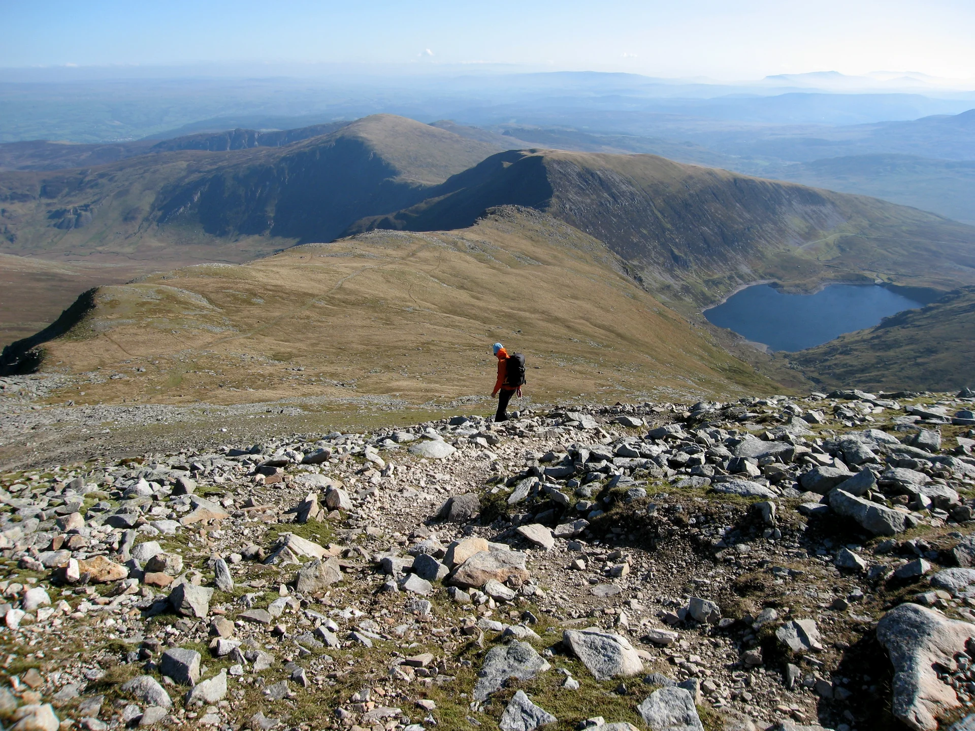
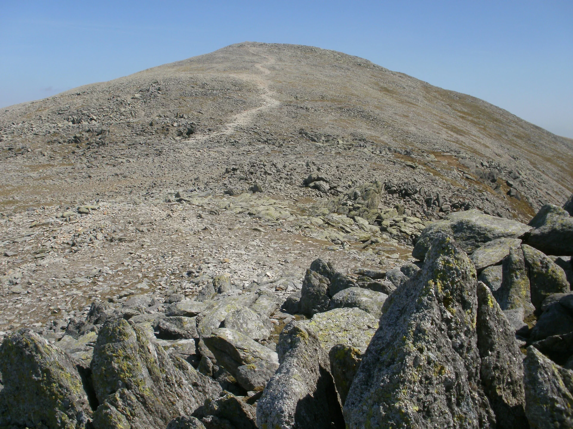
The Highest Pennants
A Few Of Our Favourites
- Tryfan has two standing stones on its summit, Adam and Eve, and people say that stepping between them earns you the “Freedom of Tryfan”.
- Crib Goch, the ‘red ridge’, is a knife-edged arête on Snowdon. Every way over it is a scramble, so it’s one for experienced walkers with a head for heights.
- Mynydd Graig Goch was left off lists of Welsh 2,000-footers for years, until walkers surveyed it in 2008 and found it was 609.75 metres: just enough.
- Manod Mawr has a wartime secret: during the Second World War, paintings from the National Gallery in London were hidden in quarry tunnels in the Manod range.
How To Get Started
Every Pennant has a walk from a car park, and many walks take in two, three or more summits at once. The Pennants cover everything from busy mountain paths to quiet, pathless tops, so pick your first ones to suit your experience.
- Track your progress. Our Pennants Map plots all 136 with a walk for each, and you can tick them off as you go.
- Take proper navigation. Cloud comes down fast in the Welsh mountains and some tops have no path at all. Carry a map and compass and know how to use them.
- Know your limits. A few Pennants, like Crib Goch and Tryfan, can only be reached by scrambling. Check each hill’s page before you go.
- Leave it as you find it. Close gates, keep dogs under control near livestock and take your litter home.
Ready To Start Bagging?
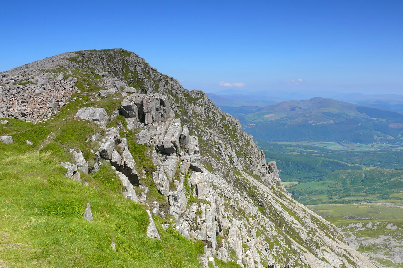
The Pennants will take you all over Wales, from Snowdon and the Glyderau to the Berwyns, the Arans and the Black Mountains. Whether you aim to climb all 136 or just a few favourites, every one has its own story.
All 136 Pennants on one map
Every mountain with a pre-planned route to follow. Sign in and tick them off as you go.
Subscribe for updates on new hikes and National Parks
One email a month with new hikes and routes. No spam.