



Snowdonia National Park
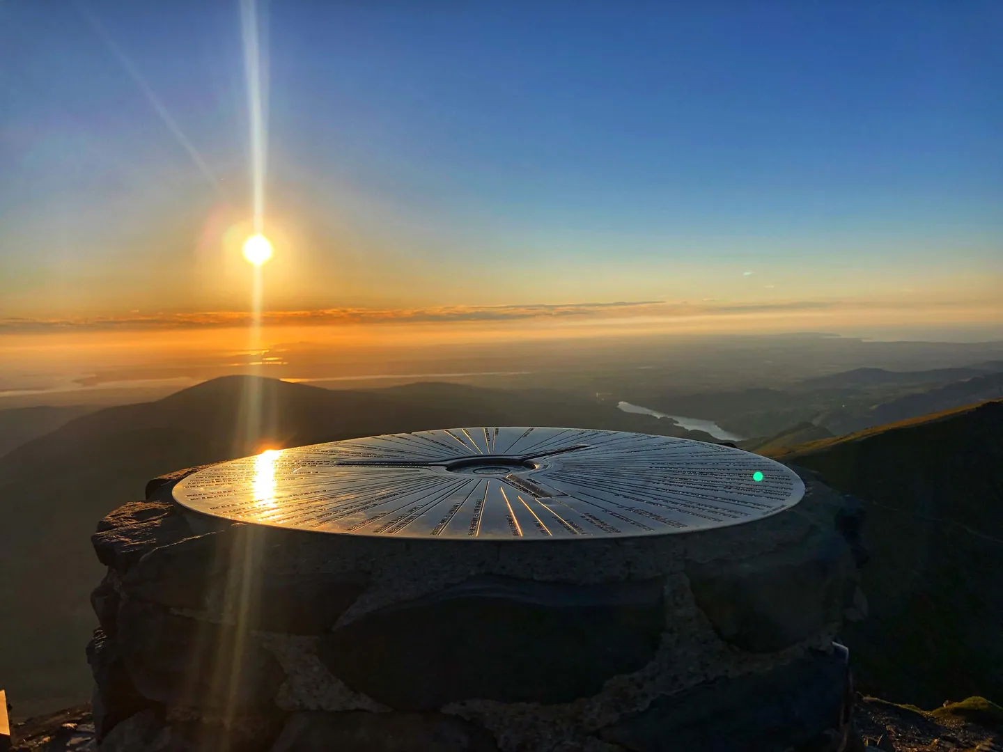
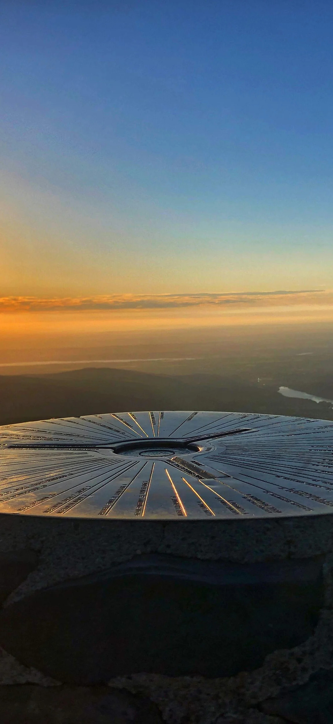
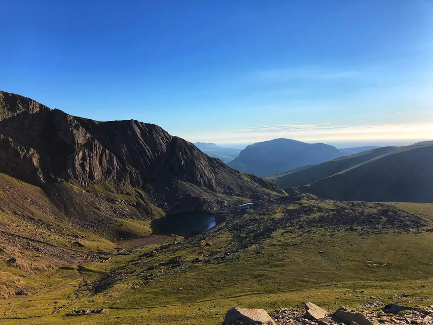
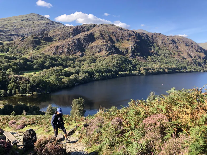
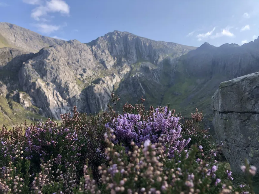
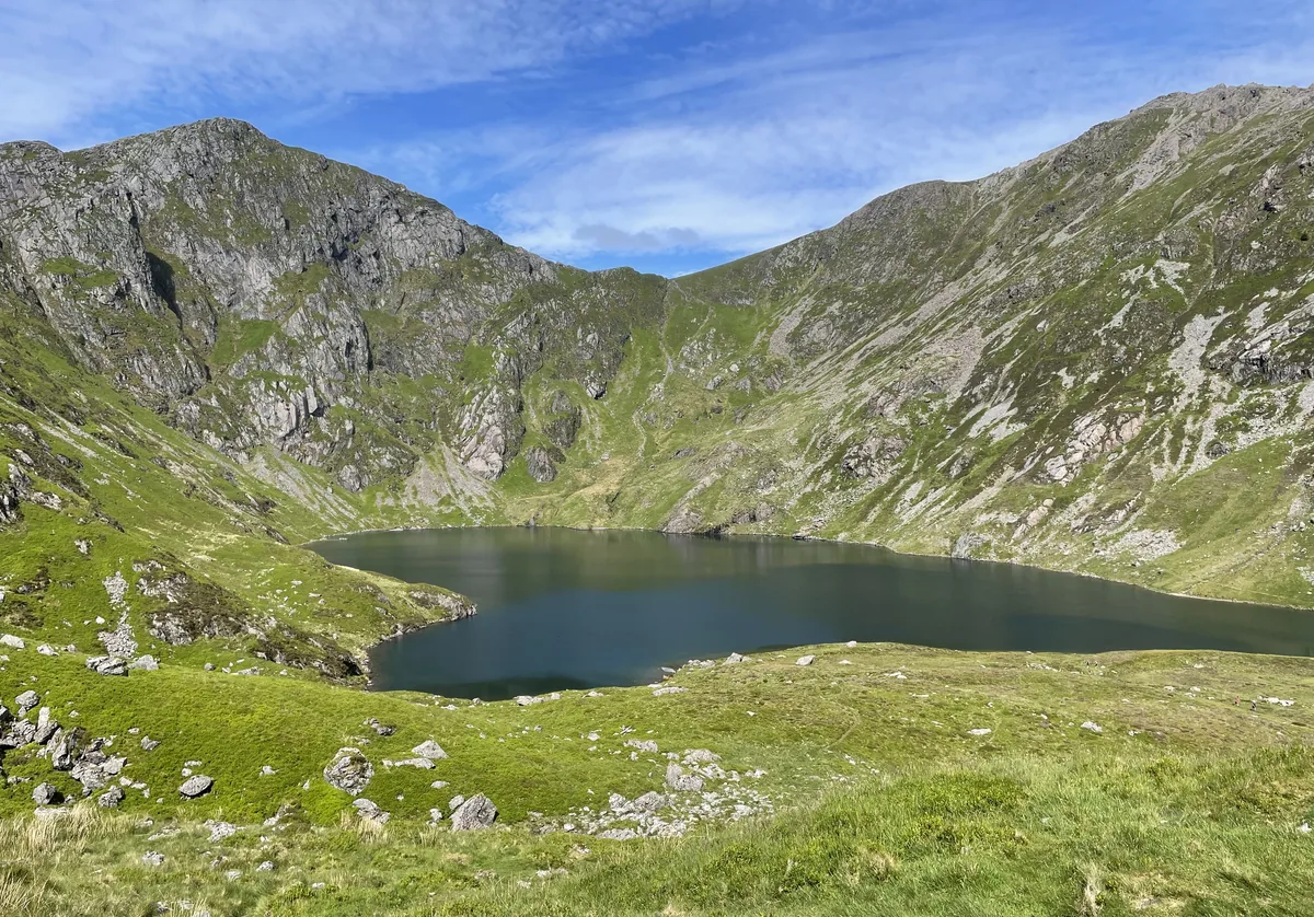
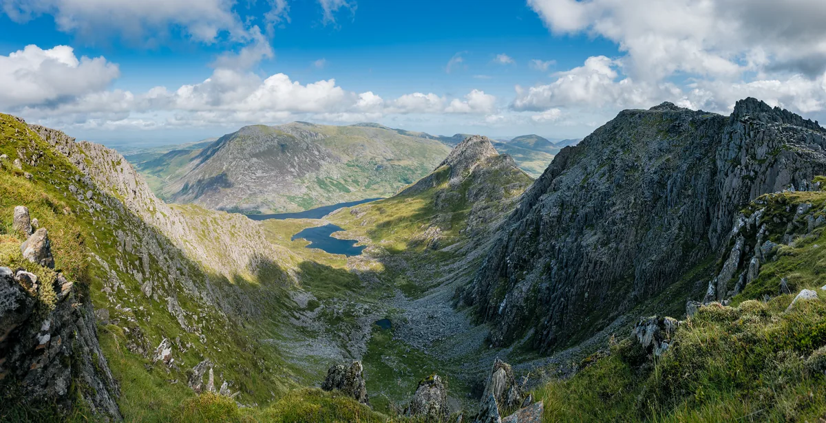
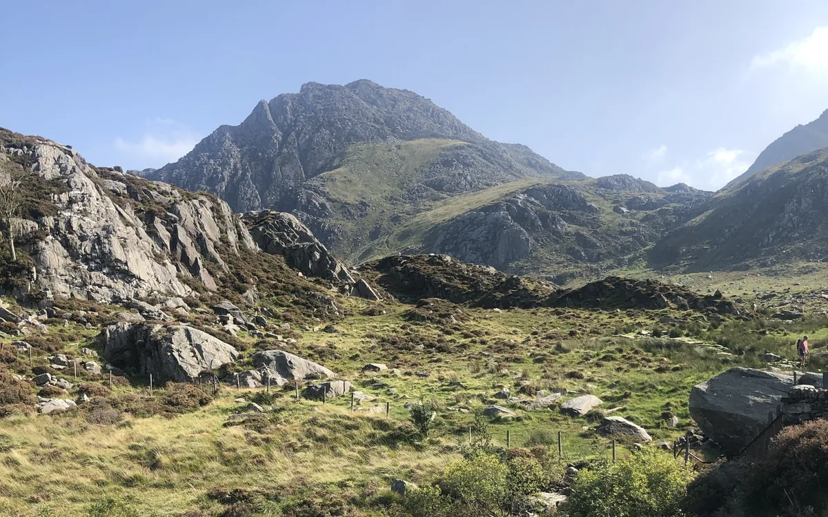
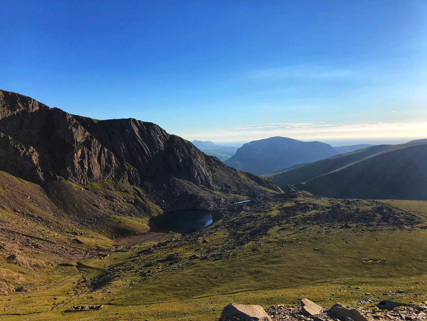
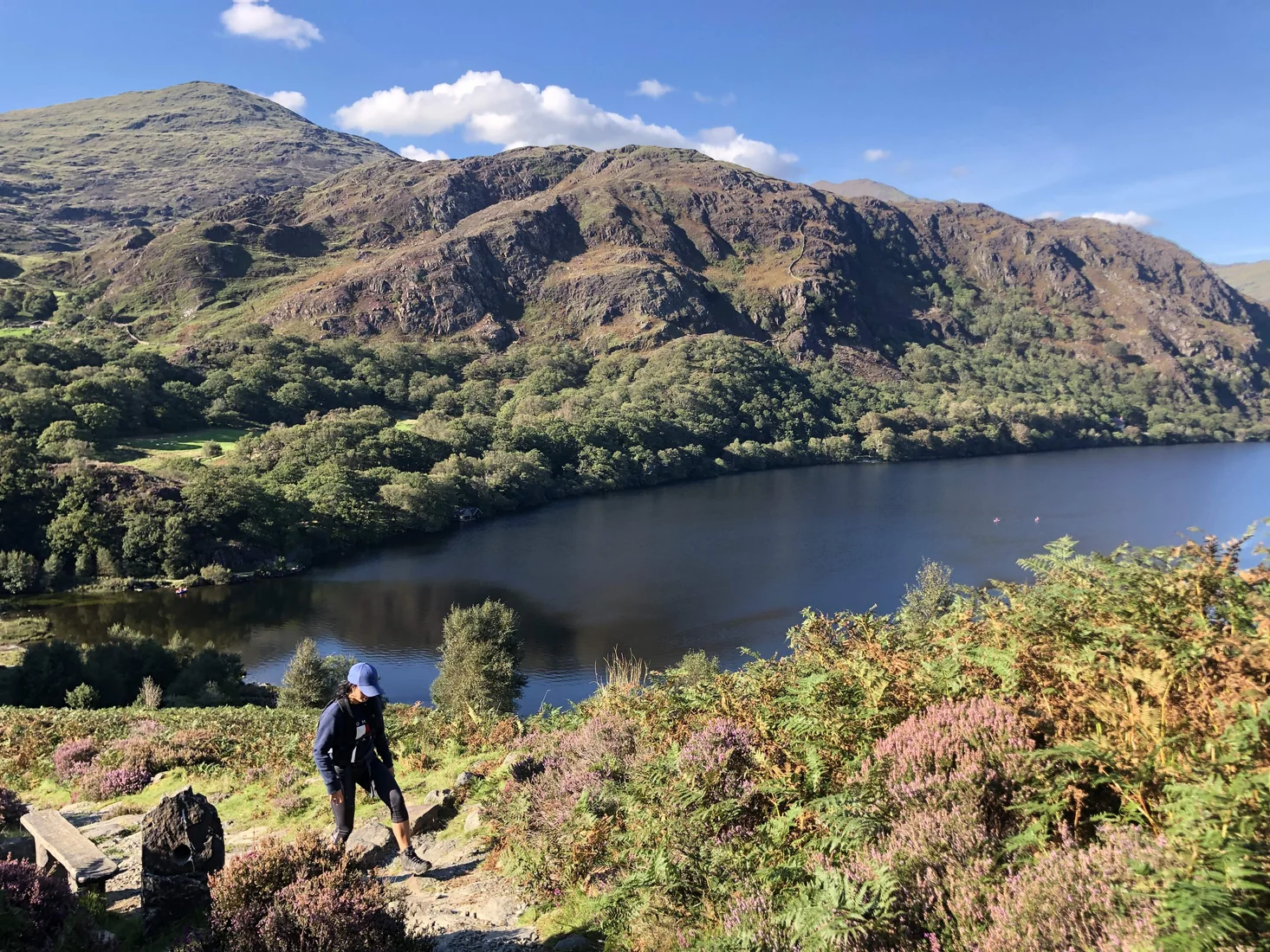
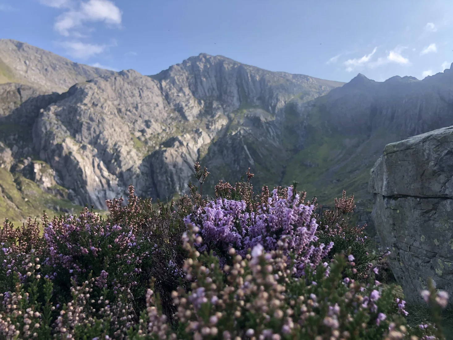
Snowdonia became Wales’ first national park in 1951 and covers more than 800 square miles of mountains, lakes, forests and coastline. It is home to Snowdon, the highest mountain in Wales and England, and to some of the most dramatic ridges and glacial valleys in Britain. Explore its peaks and hidden lakes with our hand-picked hikes below.
Map key
On the map
- New tabOpen a second map, to compare or keep a find
- ResetBack to the full view
- LayersSwitch between map and satellite
- Drive timesHow long to drive to each hill, without moving the map
- Locate meShow where you are on the map
- Full screenFill the screen with the map
In each pop-up
- Tick offMark it as done (log in)
- HideHide the pop-up to see the route
- FlyoverA 3D flight along the route
- ElevationThe climb, mile by mile
- VideosVideos from the top on YouTube
- Drive timeTap Drive Time on the photo to see how far it is
In a flyover
- Play / pauseStart or stop the flight
- RestartBack to the start of the route
- CameraFollow the walker or see it from above
- ZoomCloser in or further out
- SpeedFaster or slower
- Return to mapLeave the flyover
Our Hikes
No hikes match.
Drive time from you
Uses your location to work out drive times. It isn't saved.
Difficulty
Route length
Highest point
Rating
Route type
Crowds
Signage
Show
Subscribe for updates on new hikes and National Parks
One email a month with new hikes and routes. No spam.
Snowdonia
National Park
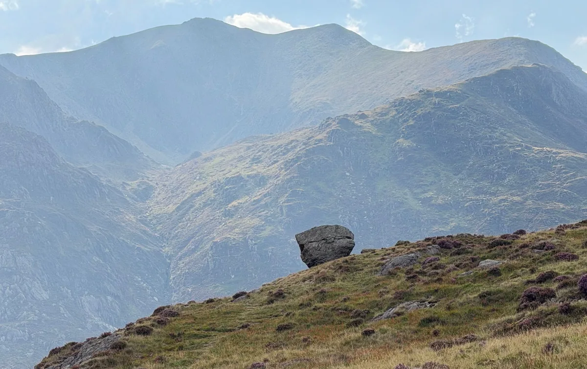
Snowdonia National Park covers more than 800 square miles across the mountains and valleys of North Wales and was established in 1951 as one of the first national parks in the UK. At its heart is Snowdon, the highest mountain in England and Wales, a peak that has drawn walkers, climbers and poets for centuries. The landscape is shaped by glacial valleys, ancient woodlands, rugged ridges and over a hundred lakes. It is also a place steeped in Welsh culture and legend, from tales of King Arthur to the enduring traditions of local communities. Today visitors can follow mountain paths to dramatic summits, explore quiet valleys dotted with castles and slate mines, or simply enjoy the wild beauty that makes Snowdonia a true landmark of the British outdoors.
Map key
On the map
- New tabOpen a second map, to compare or keep a find
- ResetBack to the full view
- LayersSwitch between map and satellite
- Drive timesHow long to drive to each hill, without moving the map
- Locate meShow where you are on the map
- Full screenFill the screen with the map
In each pop-up
- Tick offMark it as done (log in)
- HideHide the pop-up to see the route
- FlyoverA 3D flight along the route
- ElevationThe climb, mile by mile
- VideosVideos from the top on YouTube
- Drive timeTap Drive Time on the photo to see how far it is
In a flyover
- Play / pauseStart or stop the flight
- RestartBack to the start of the route
- CameraFollow the walker or see it from above
- ZoomCloser in or further out
- SpeedFaster or slower
- Return to mapLeave the flyover
Swipe to Hike!
No hikes match.
Drive time from you
Uses your location to work out drive times. It isn't saved.
Difficulty
Route length
Highest point
Rating
Route type
Crowds
Signage
Show
Subscribe for updates on new hikes and National Parks
One email a month with new hikes and routes. No spam.