



Hill Maps
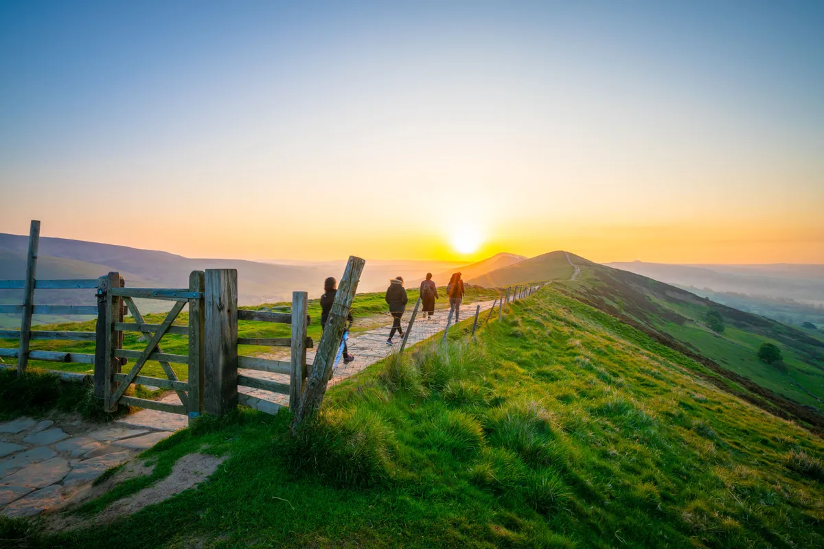 Peak DistrictThe Ethels Map95 Peaks57 WalksTrack Progress
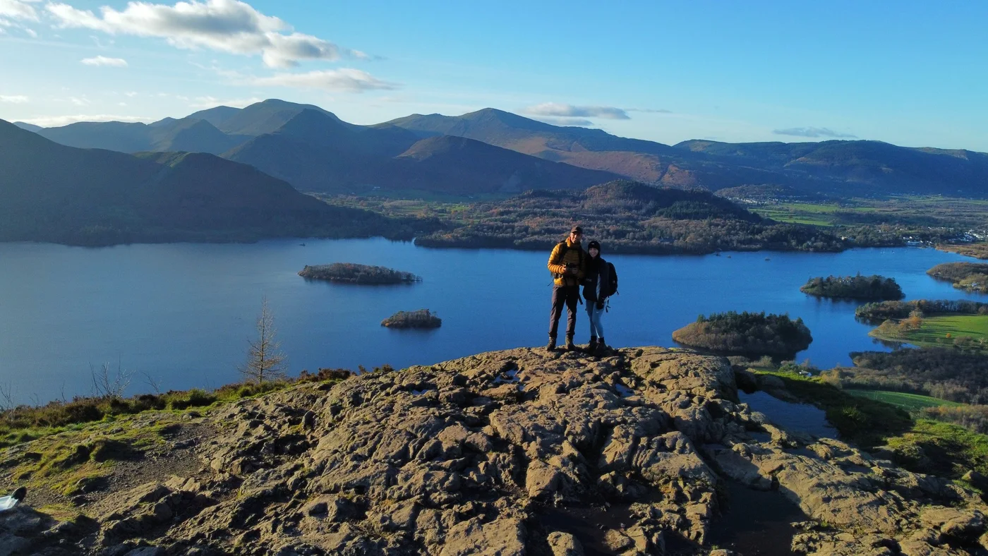 Lake DistrictThe Wainwrights Map214 Peaks60 WalksTrack Progress
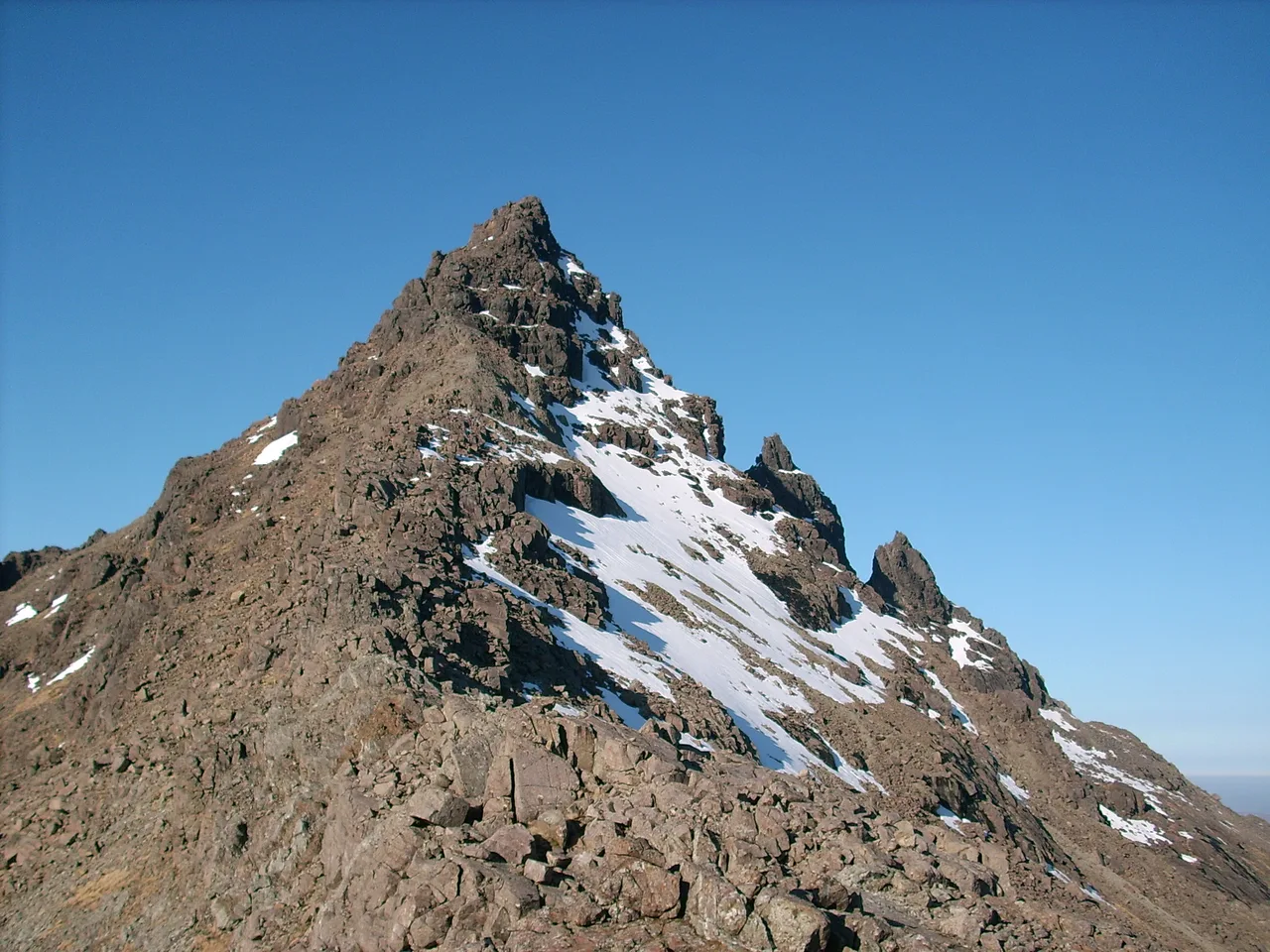 Scottish HighlandsThe Munros Map282 Peaks125 WalksTrack Progress
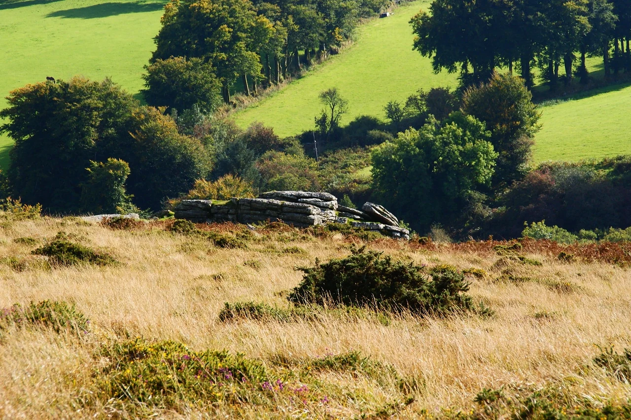 DartmoorThe Sylvias Map61 Peaks23 WalksTrack Progress
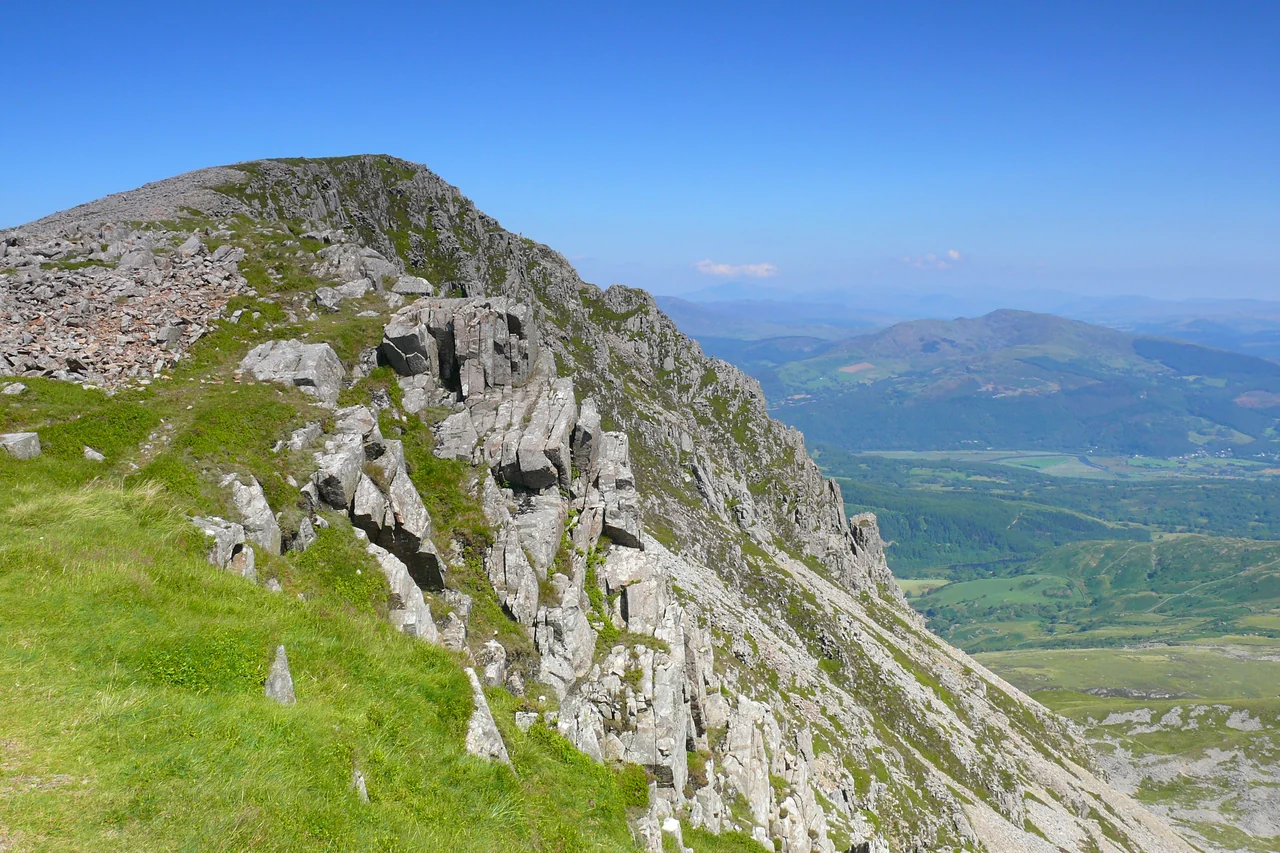 WalesThe Pennants Map136 Peaks56 WalksTrack Progress
National Parks
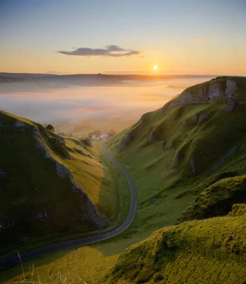 EnglandPeak District Hikes14 HikesKinder Scout 636.3mView All
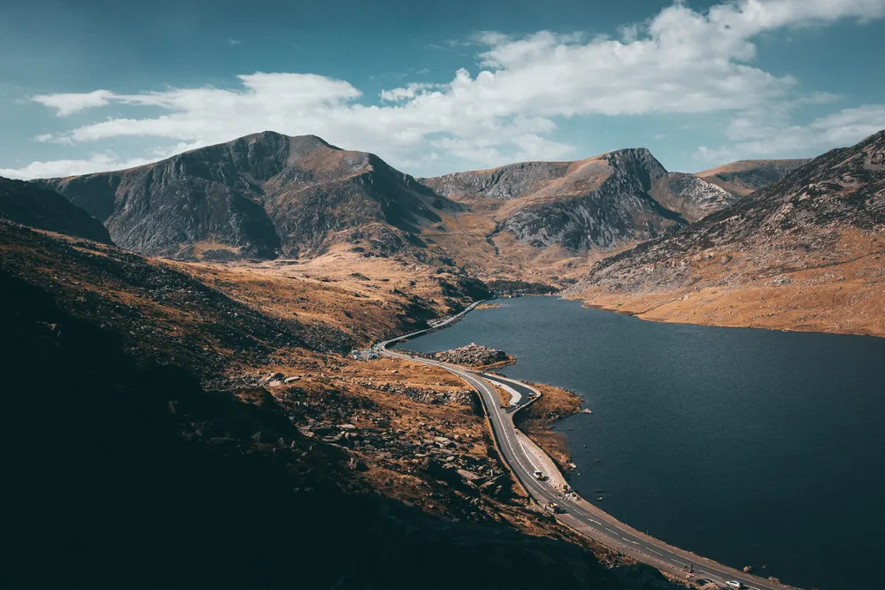
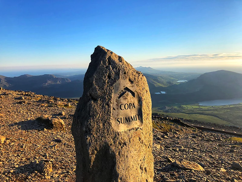 WalesSnowdonia Hikes7 HikesSnowdon 1085mView All
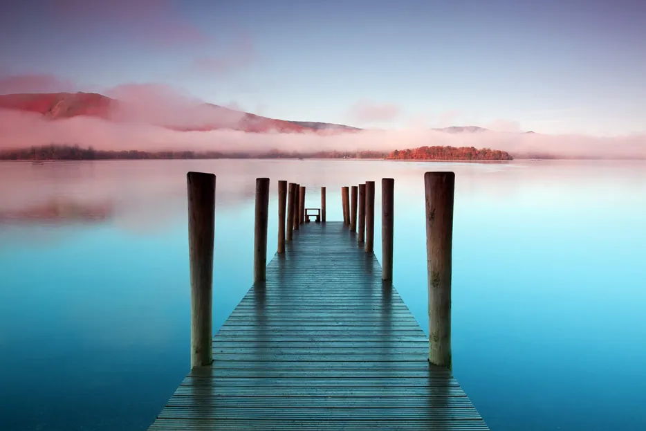 EnglandLake District Hikes11 HikesScafell Pike 978.1mView All
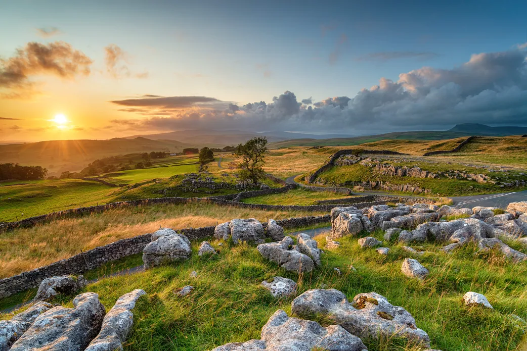 EnglandYorkshire Dales HikesComing SoonWhernside 736m
Latest Hikes
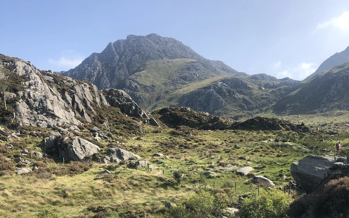 HardSnowdoniaTryfan3.5 Miles3½–4½ Hrs613m Ascent
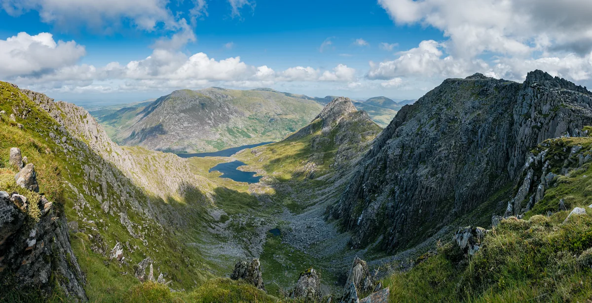 HardSnowdoniaGlyder Fawr4.7 Miles4–5 Hrs691m Ascent
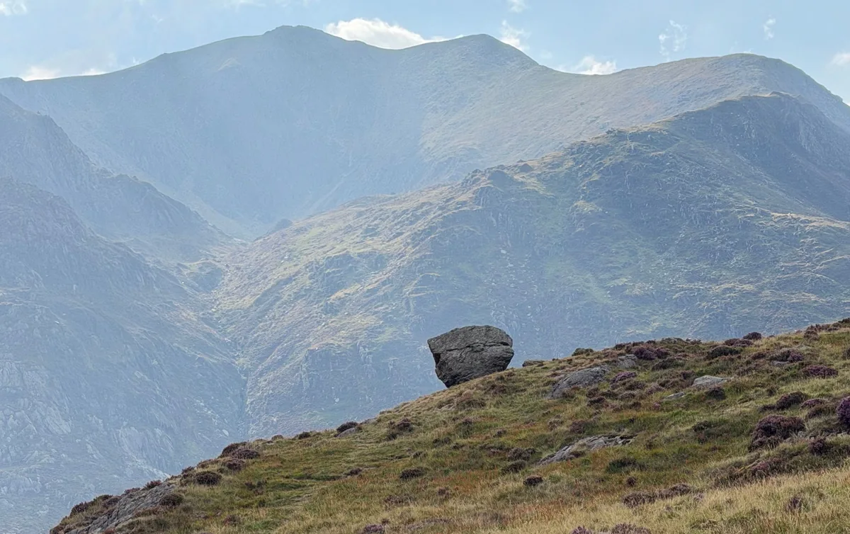 HardSnowdoniaMoel Siabod6.2 Miles4–5 Hrs730m Ascent
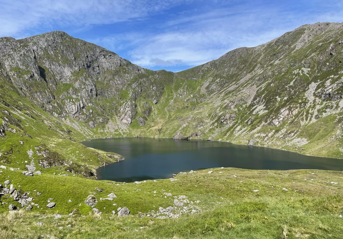 HardSnowdoniaCadair Idris6.3 Miles5–6 Hrs925m Ascent
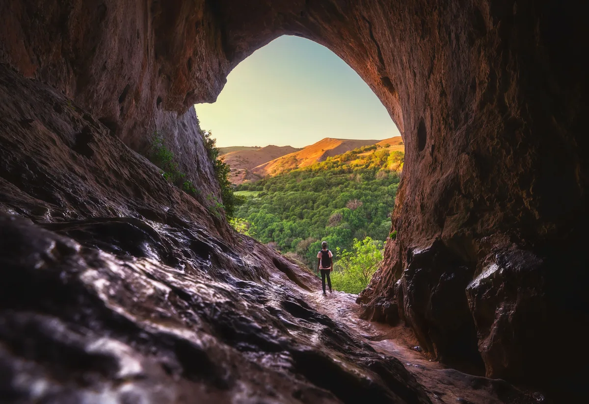 ModeratePeak DistrictThor's Cave & Manifold Valley4.8 Miles2½–3½ Hrs355m Ascent
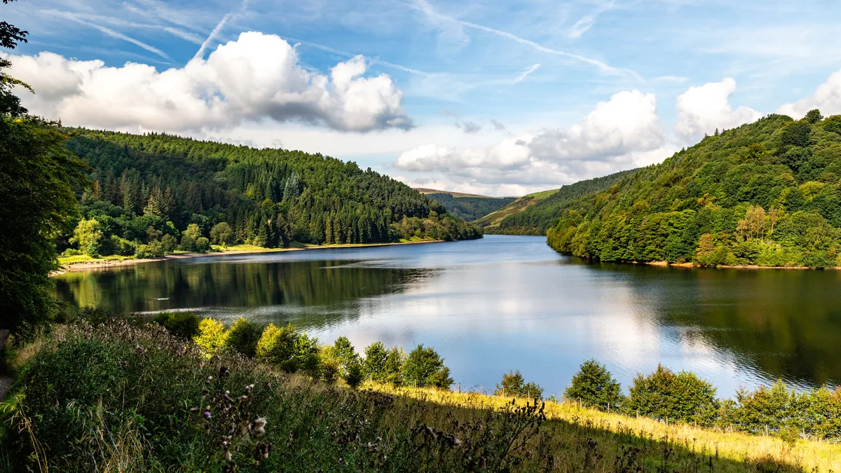 ModeratePeak DistrictCrook Hill8.6 Miles4–5 Hrs448m Ascent
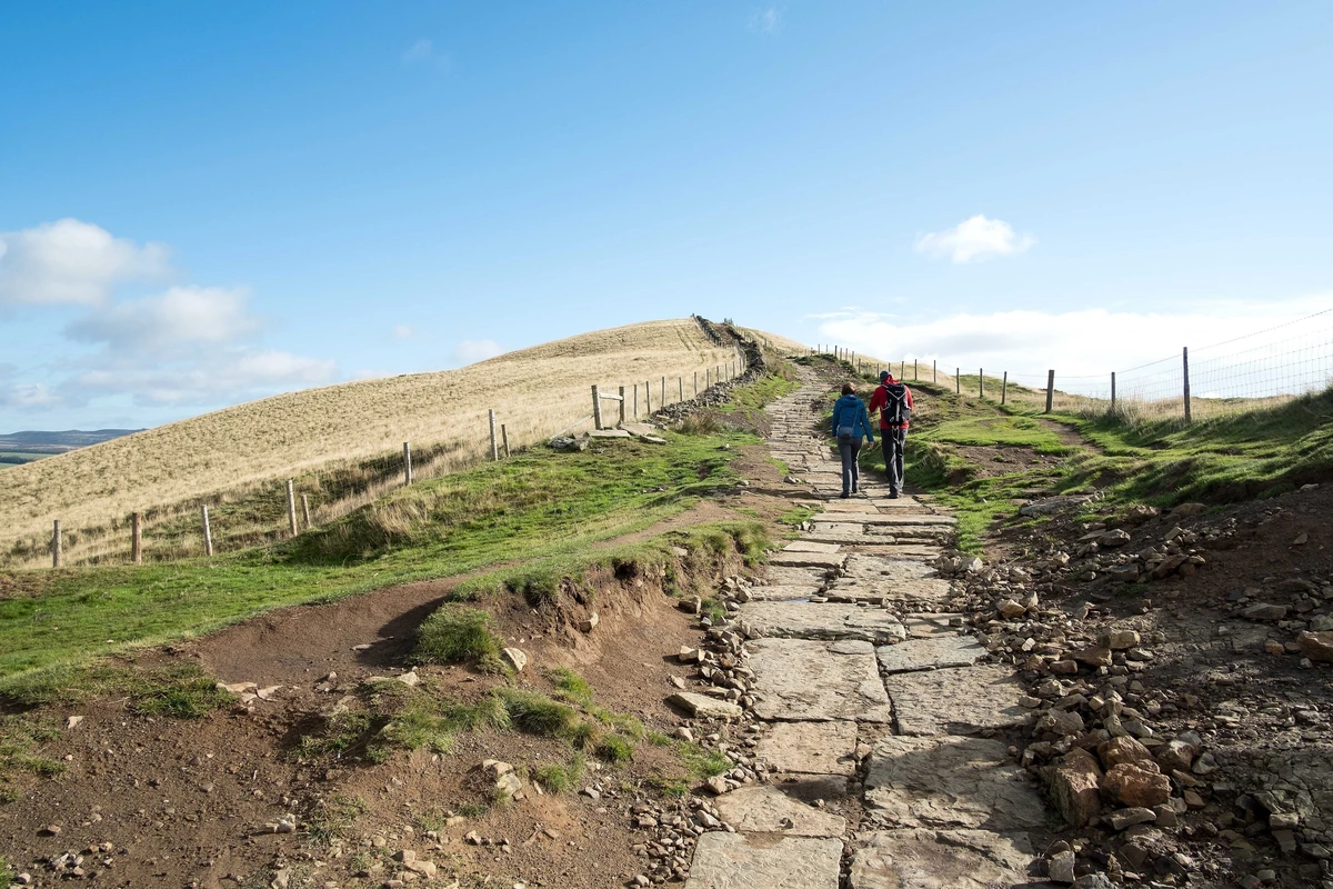 ModeratePeak DistrictMam Tor & Lose Hill6.6 Miles3½–4½ Hrs506m Ascent
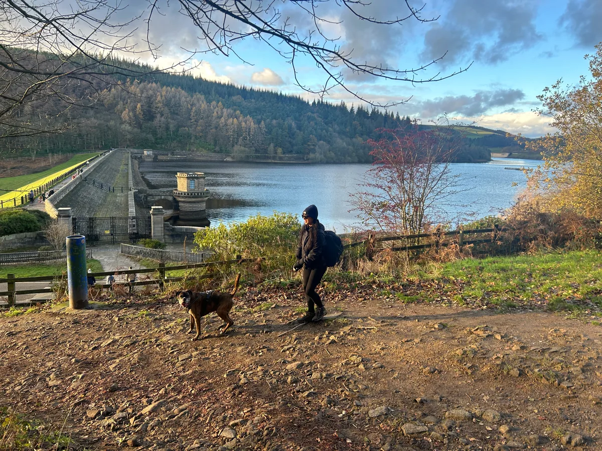 ModeratePeak DistrictWin Hill6.3 Miles3–4 Hrs432m Ascent
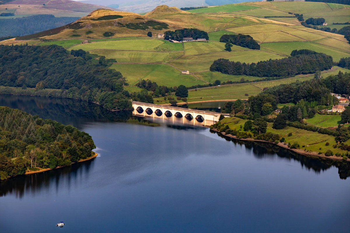 ModeratePeak DistrictStanage Edge & Bamford Edge6.3 Miles3–4 Hrs379m Ascent
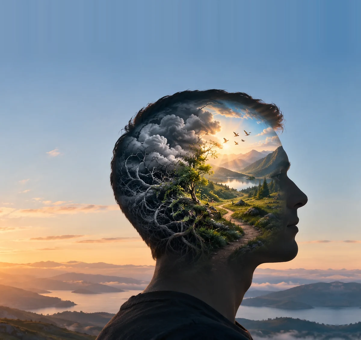 Mind & MountainsHead for the HillsHow time outdoors clears your head, plus free CBT tools.Start here
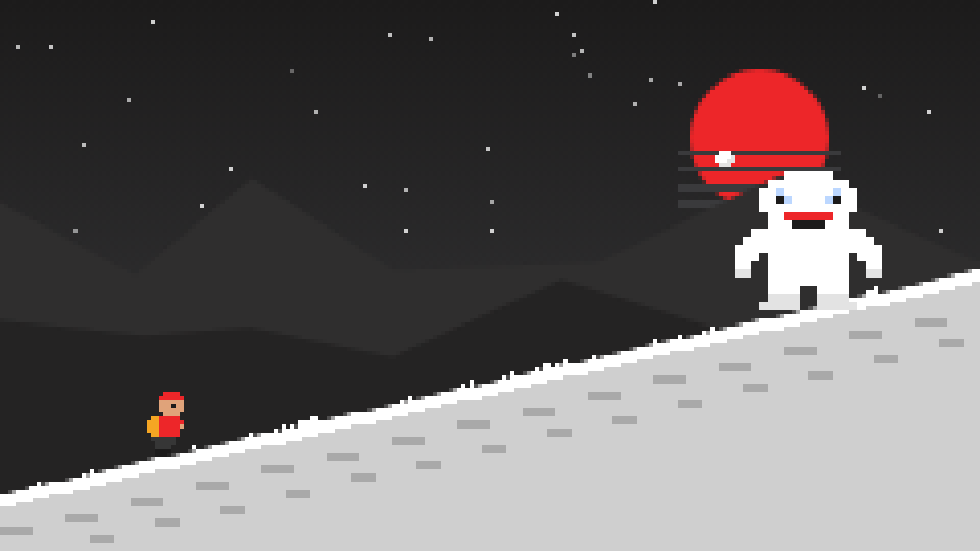 Our Free GameQuest for the Lost PeakClimb 9 real summits from Kinder Scout to Everest and beat 4 bosses.Play now
Our Mission
This website was created during the third coronavirus lockdown, a time when the nation’s collective mental health was at an all-time low. Hiking can provide a psychological reset, a way of forgetting daily challenges and connecting with the healing powers of Mother Nature. Our mission at The Lost Peak is to make people happy by providing an easy-to-use and informative resource for exploring the Great British outdoors.
Explore the mapsEvery National Park will be covered!
Subscribe for updates on new hikes and National Parks
One email a month with new hikes and routes. No spam.
Every mountain top is
within reach, if you
just keep climbing
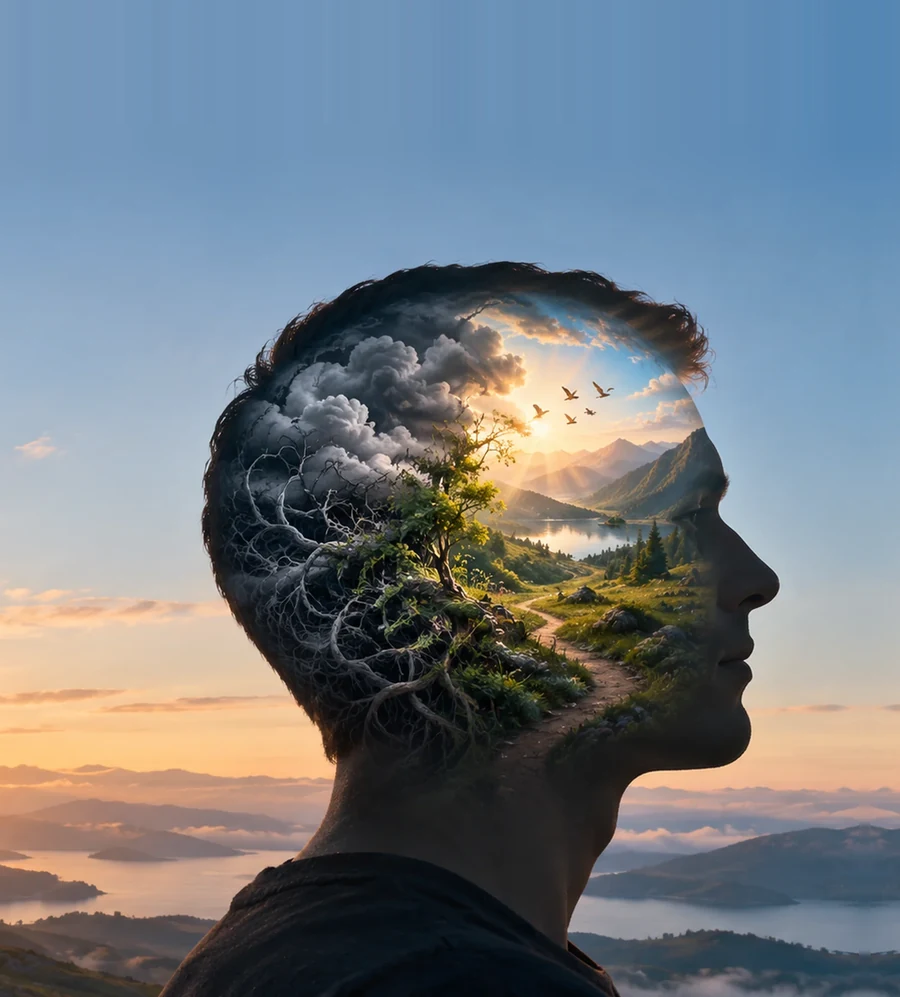 Mind & MountainsHead for the HillsHow time outdoors clears your head, plus free CBT tools.Start here
Our Mission
This website was created during the third coronavirus lockdown, a time when the nation's collective mental health was at an all-time low. Hiking can provide a psychological reset, a way of forgetting daily challenges and connecting with the healing powers of Mother Nature. Our mission at The Lost Peak is to make people happy by providing an easy-to-use and informative resource for exploring the Great British outdoors.
Every National Park
will be covered!

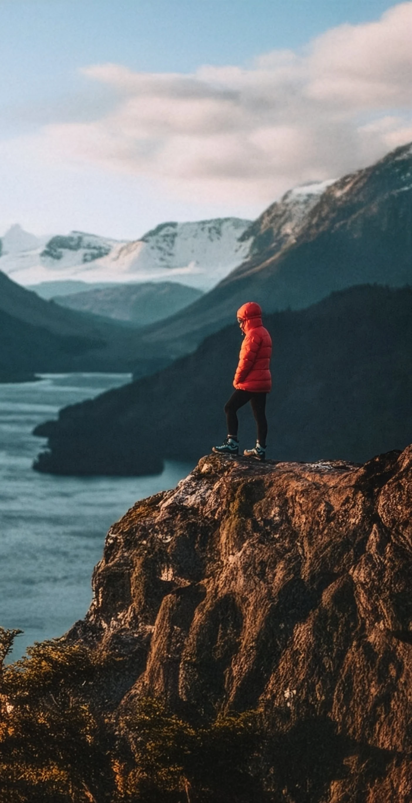
Every mountain top
is within reach if you
just
keep
climbing
Hill Maps
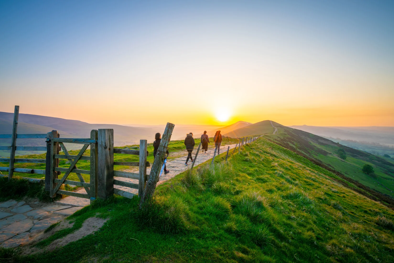 Peak DistrictThe Ethels Map95 Peaks57 WalksTrack Progress
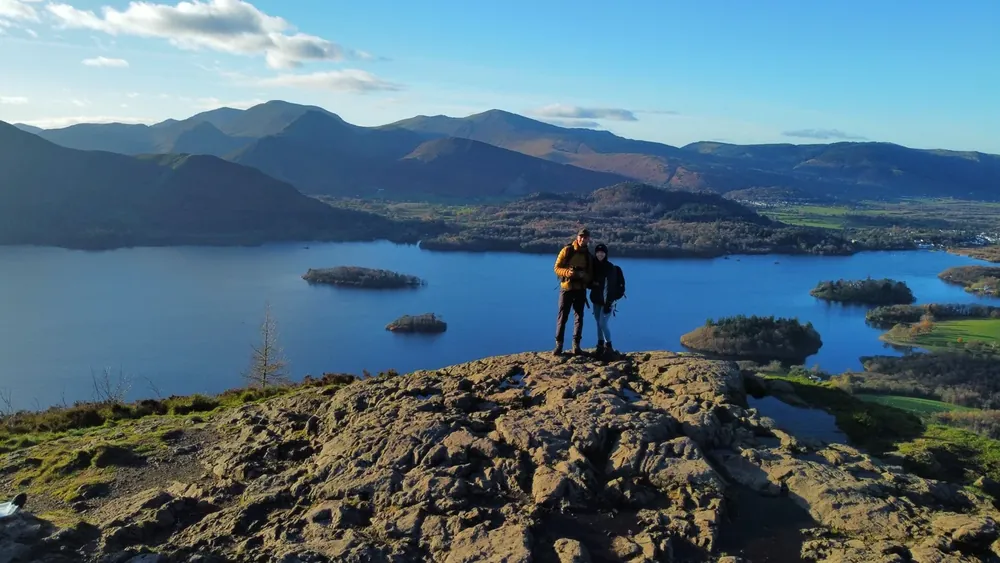 Lake DistrictThe Wainwrights Map214 Peaks60 WalksTrack Progress
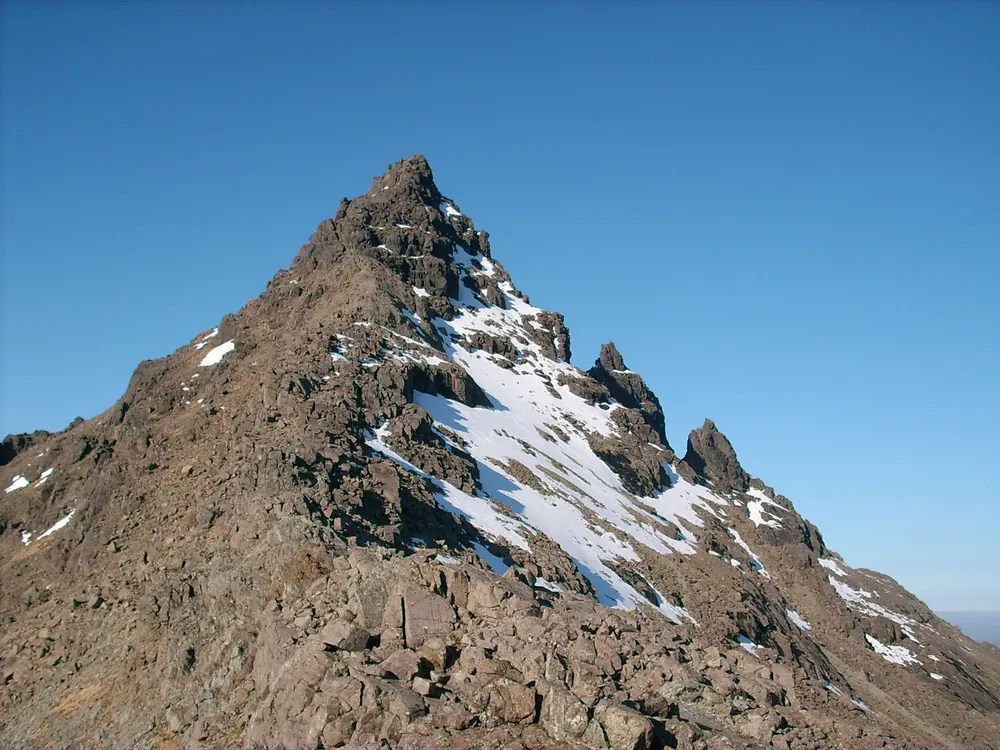 Scottish HighlandsThe Munros Map282 Peaks125 WalksTrack Progress
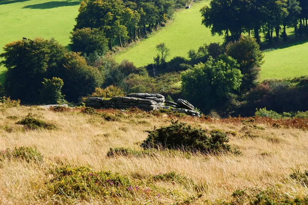 DartmoorThe Sylvias Map61 Peaks23 WalksTrack Progress
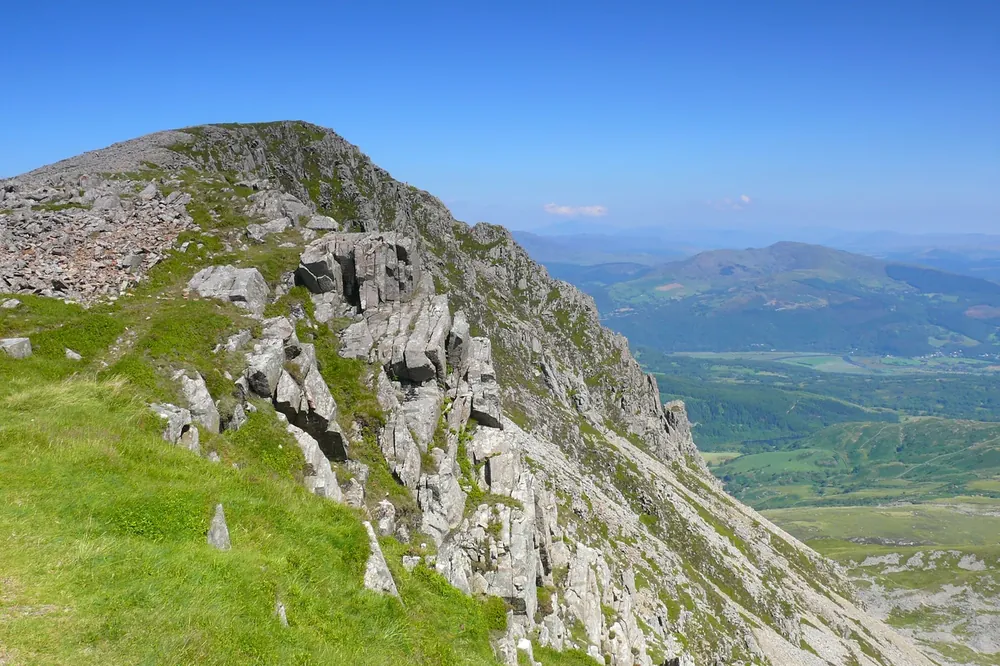 WalesThe Pennants Map136 Peaks56 WalksTrack Progress
National Parks
WalesSnowdonia Hikes7 HikesView All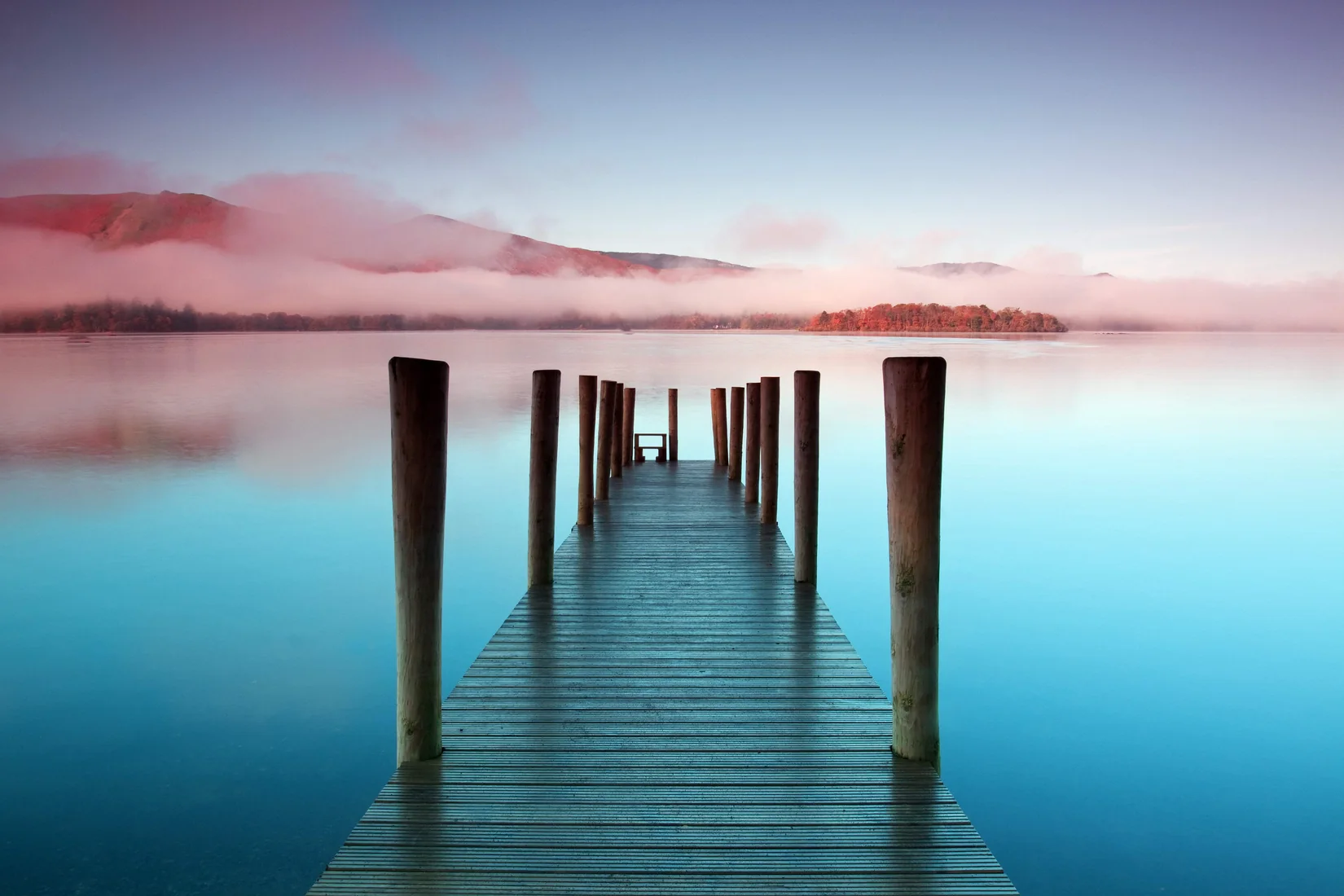
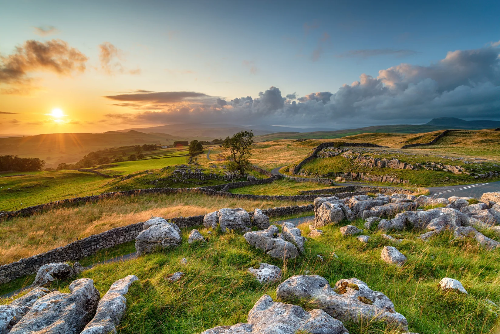 EnglandYorkshire Dales Hikes
Latest Hikes
HardSnowdoniaTryfan3.5 Miles3½–4½ HrsHardSnowdoniaGlyder Fawr4.7 Miles4–5 HrsHardSnowdoniaMoel Siabod6.2 Miles4–5 HrsHardSnowdoniaCadair Idris6.3 Miles5–6 Hrs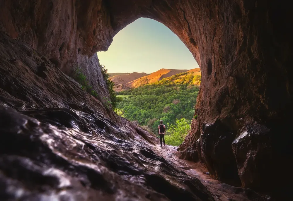 ModeratePeak DistrictThor's Cave & Manifold Valley4.8 Miles2½–3½ Hrs
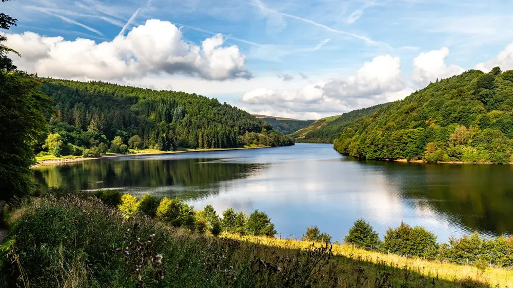 ModeratePeak DistrictCrook Hill8.6 Miles4–5 Hrs
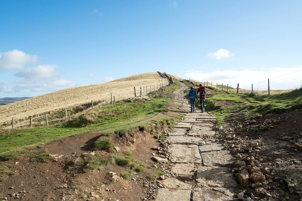 ModeratePeak DistrictMam Tor & Lose Hill6.6 Miles3½–4½ Hrs
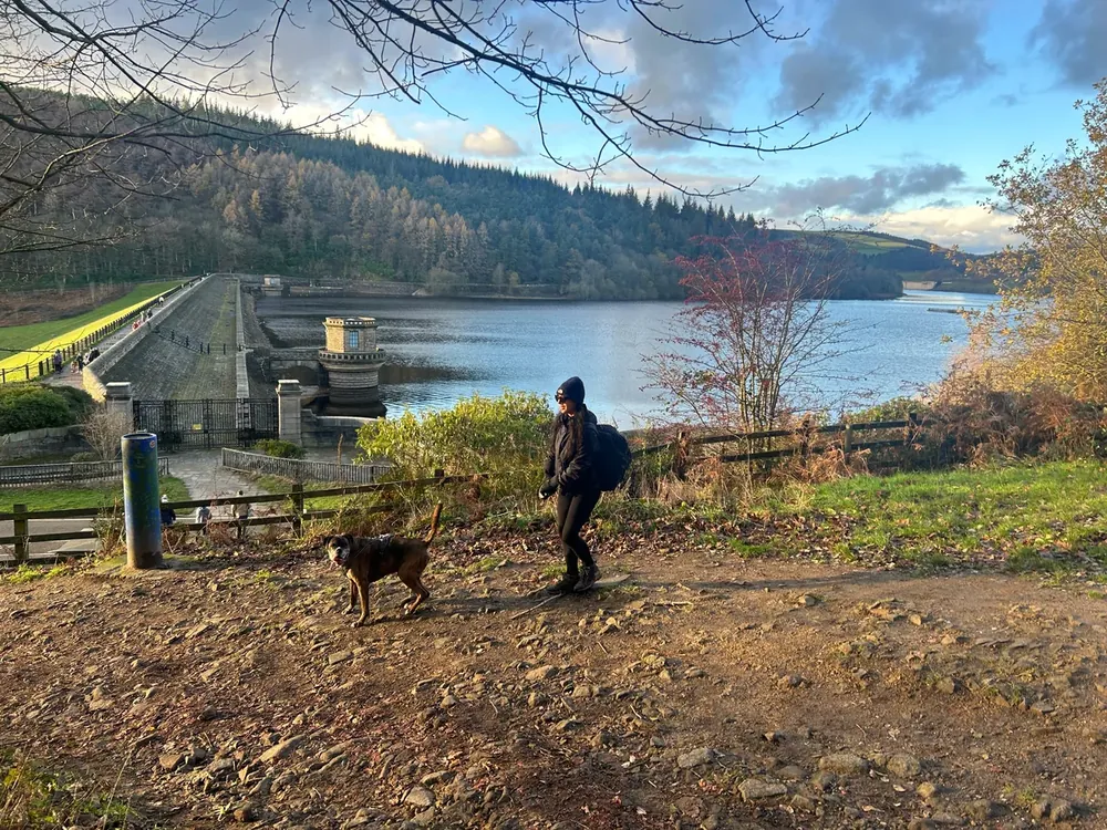 ModeratePeak DistrictWin Hill6.3 Miles3–4 Hrs
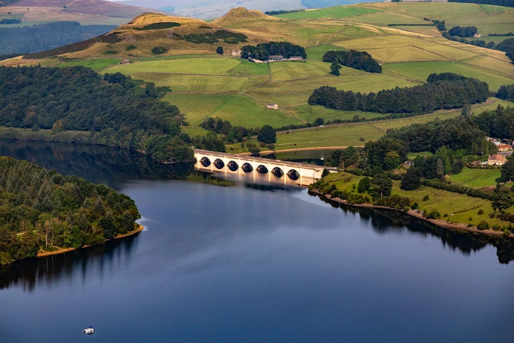 ModeratePeak DistrictStanage Edge & Bamford Edge6.3 Miles3–4 Hrs
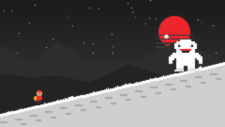 Our Free Game
Quest for the Lost Peak
9 real summits from Kinder Scout to Everest, and 4 bosses.
Play now
Subscribe for updates on new hikes and National Parks
One email a month with new hikes and routes. No spam.
Photo credits
- Sgurr nan Gillean, Isle of SkyeSteveMi, CC BY 3.0, via Wikimedia Commons. Cropped to fit.
- Scorhill Tor, DartmoorHerbythyme, CC BY-SA 4.0, via Wikimedia Commons. Cropped to fit.
- Cyfrwy, the Saddle, on Cadair IdrisIan Medcalf, CC BY-SA 2.0, via Geograph. Cropped to fit.
Photos without a credit are our own. The others are used under Creative Commons licences, with thanks to the photographers.