



The Sylvias Interactive Map
Map key
On the map
- New tabOpen a second map, to compare or keep a find
- ResetBack to the full view
- LayersSwitch between map and satellite
- Drive timesHow long to drive to each hill, without moving the map
- Locate meShow where you are on the map
- Full screenFill the screen with the map
In each pop-up
- Tick offMark it as done (log in)
- HideHide the pop-up to see the route
- FlyoverA 3D flight along the route
- ElevationThe climb, mile by mile
- VideosVideos from the top on YouTube
- Drive timeTap Drive Time on the photo to see how far it is
In a flyover
- Play / pauseStart or stop the flight
- RestartBack to the start of the route
- CameraFollow the walker or see it from above
- ZoomCloser in or further out
- SpeedFaster or slower
- Return to mapLeave the flyover
Lady Sylvia Sayer
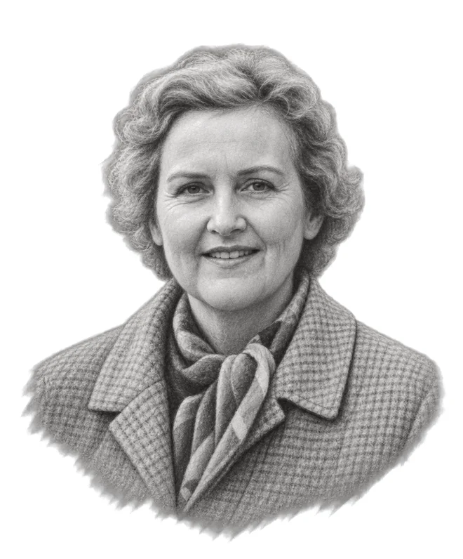
1904Born2000DiedFew people have done more to protect Dartmoor than Lady Sylvia Sayer. Her connection with the moor began in childhood through her grandfather, Robert Burnard, a founding member of the Dartmoor Preservation Association. In 1928, she made Dartmoor her home, and protecting its wild landscape became her life’s work.As chairman of the Dartmoor Preservation Association from 1951 to 1973, she fought against plans to flood valleys with reservoirs, expand china clay extraction and increase military development. She even challenged the National Park authorities themselves, resigning from its governing committee in 1957 when she believed they were failing to protect the landscape. Among her greatest achievements was helping defeat plans to flood the Swincombe Valley to create a reservoir.Her legacy lives on in the landscape she fought so hard to preserve. In her honour, we’ve created the Sylvias, a collection of 61 of Dartmoor’s finest tors and summits. They range from High Willhays, the highest point on Dartmoor at 622 metres, to Dewerstone Rock at 160 metres in the wooded Plym Valley. Each offers a different opportunity to explore the extraordinary landscape she dedicated her life to protecting.
Explore the Sylvias
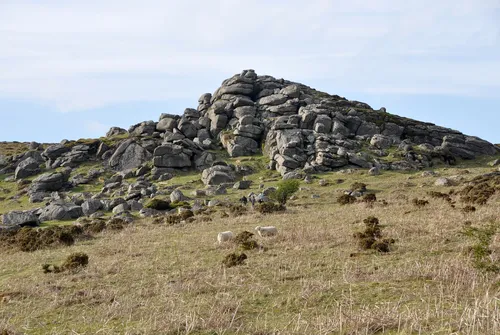 Bell Tor423 m
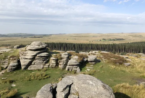 Bellever Tor444.1 m
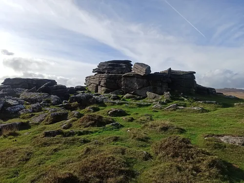 Belstone Tor479 m
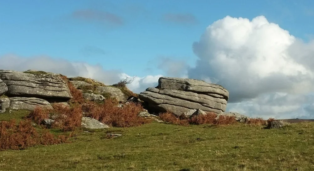 Bench Tor323 m
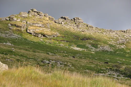 Black Tor502 m
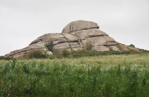 Blackingstone Rock355 m
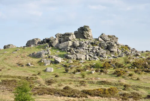 Bonehill Rocks393 m
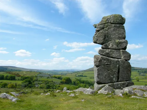 Bowerman's Nose390 m
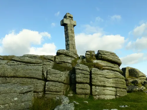 Brat Tor452 m
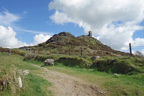 Brent Tor334 m
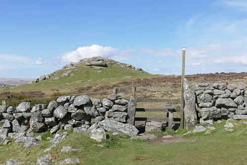 Buckland Beacon390 m
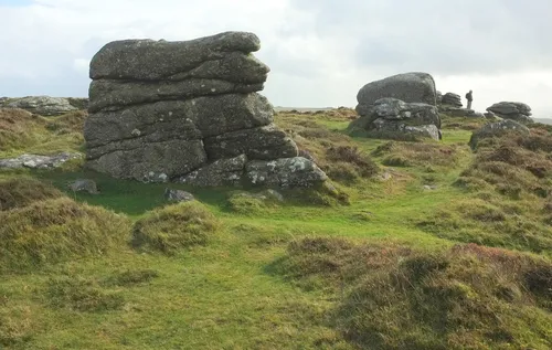 Chinkwell Tor460 m
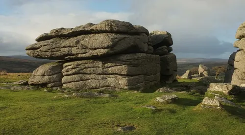 Combestone Tor356 m
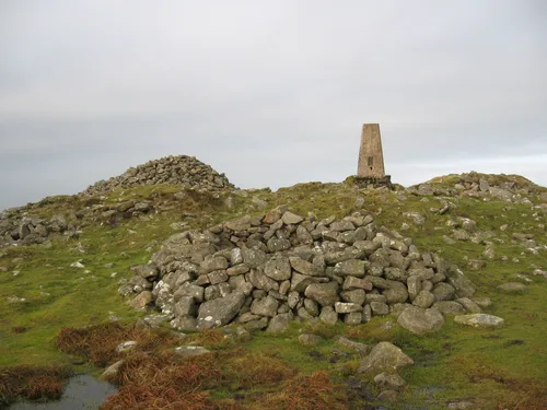 Cosdon Hill550.5 m
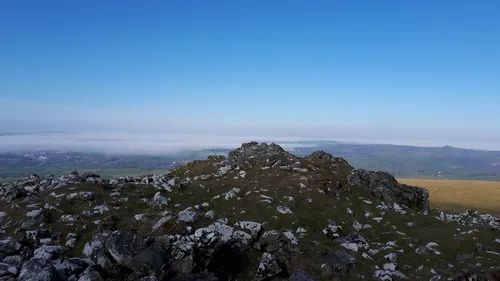 Cox Tor442 m
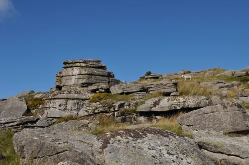 Crockern Tor406 m
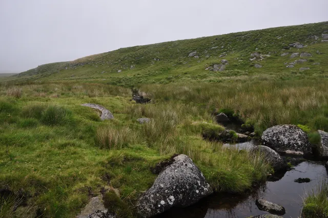 Cut Hill603.8 m
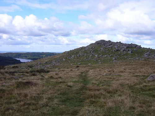 Down Tor366 m
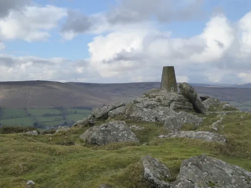 Easdon Tor439 m
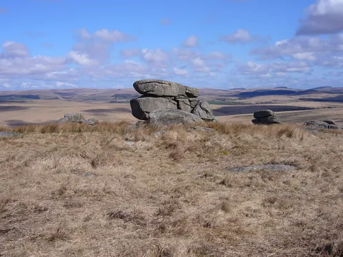 Fox Tor438 m
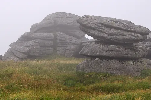 Fur Tor572 m
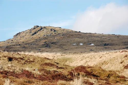 Ger Tor445 m
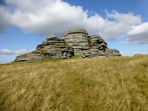 Great Links Tor589 m
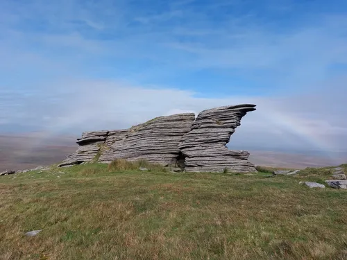 Great Mis Tor538 m
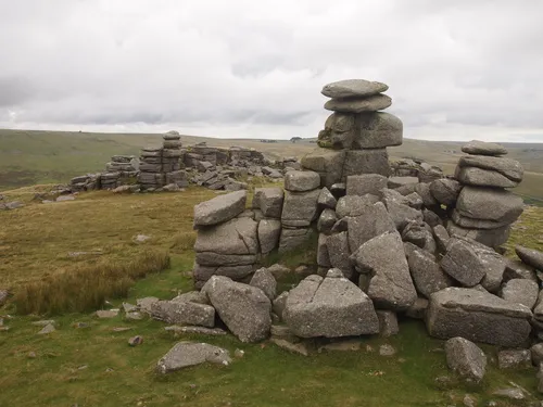 Great Staple Tor455.2 m
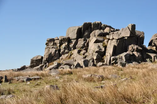 Great Trowlesworthy Tor357 m
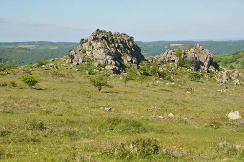 Greator Rocks371 m
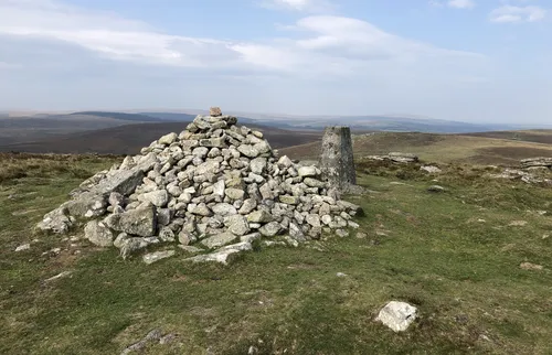 Hameldown Tor529 m
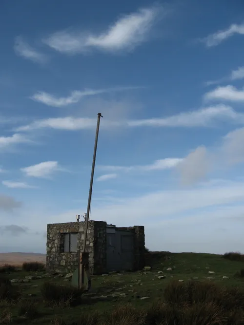 Hangingstone Hill604.6 m
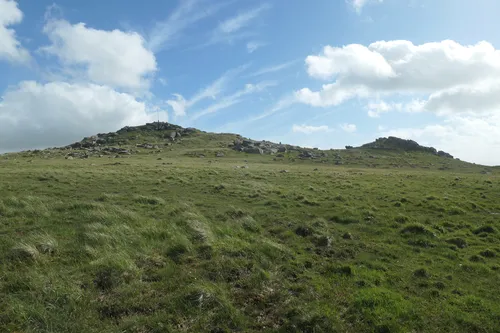 Hare Tor531 m
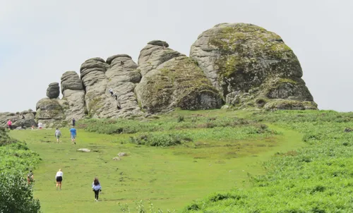 Haytor457 m
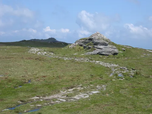 High Willhays622 m
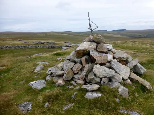 Higher White Tor525 m
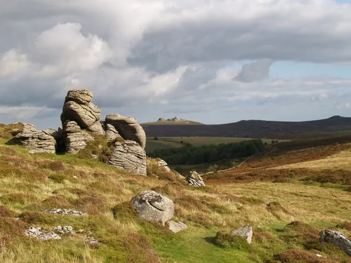 Honeybag Tor445 m
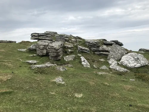 Hookney Tor497 m
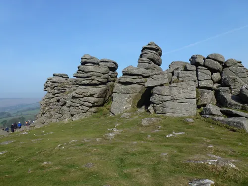 Hound Tor414 m
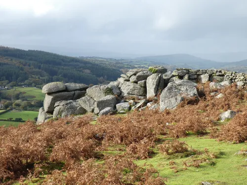 Hunter's Tor326 m
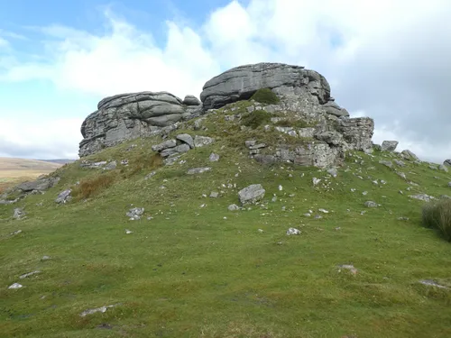 Kes Tor437 m
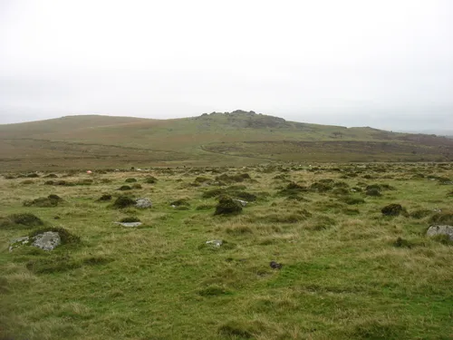 King's Tor401 m
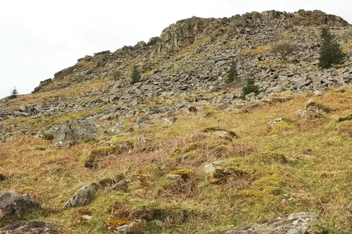 Leather Tor390 m
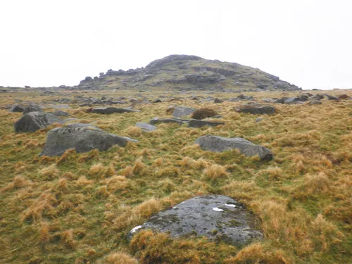 Longaford Tor506.7 m
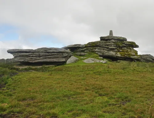 North Hessary Tor517 m
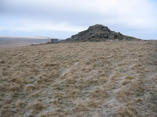 Oke Tor466 m
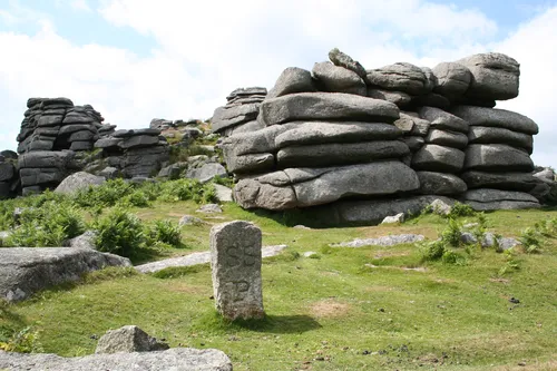 Pew Tor330 m
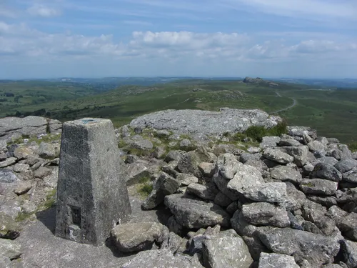 Rippon Tor476 m
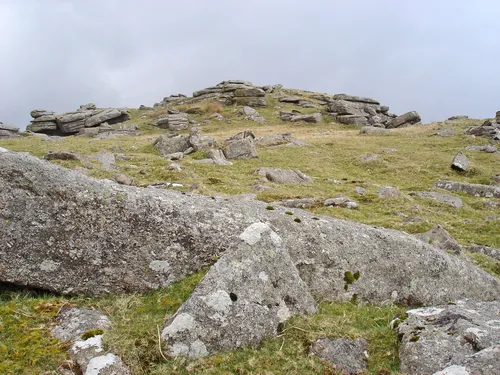 Roos Tor454.1 m
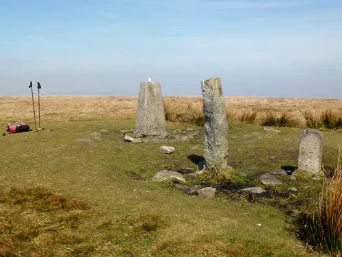 Ryder's Hill515 m
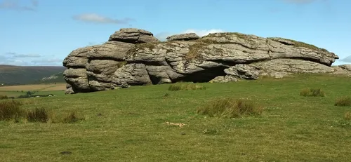 Saddle Tor428 m
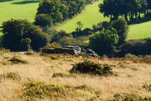 Scorhill Tor380 m
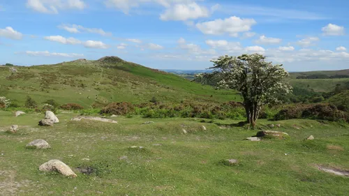 Sharp Tor380 m
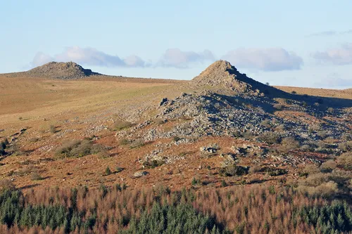 Sharpitor412 m
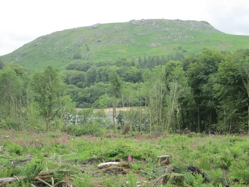 Sheeps Tor369 m
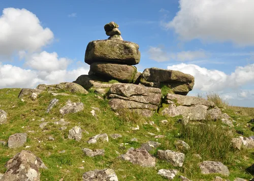 Shell Top475 m
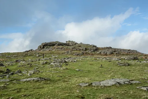 Steeperton Tor532 m
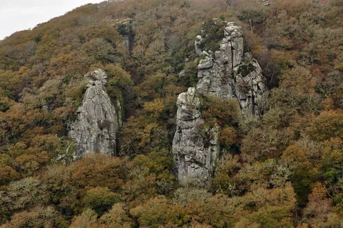 The Dewerstone160 m
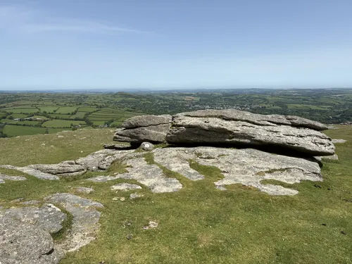 Ugborough Beacon378 m
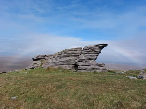 Watern Tor536 m
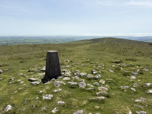 Western Beacon334 m
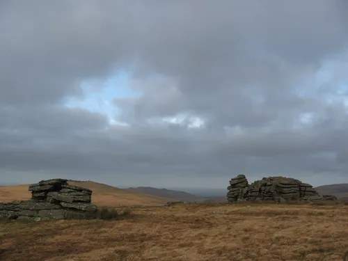 Wild Tor537 m
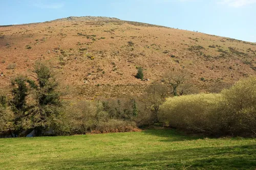 Yar Tor416 m
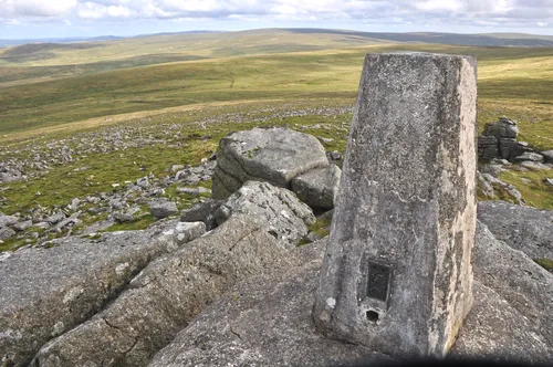 Yes Tor618.6 m
No Sylvias match that search.
Subscribe for updates on new hikes and National Parks
One email a month with new hikes and routes. No spam.
Map key
On the map
- New tabOpen a second map, to compare or keep a find
- ResetBack to the full view
- LayersSwitch between map and satellite
- Drive timesHow long to drive to each hill, without moving the map
- Locate meShow where you are on the map
- Full screenFill the screen with the map
In each pop-up
- Tick offMark it as done (log in)
- HideHide the pop-up to see the route
- FlyoverA 3D flight along the route
- ElevationThe climb, mile by mile
- VideosVideos from the top on YouTube
- Drive timeTap Drive Time on the photo to see how far it is
In a flyover
- Play / pauseStart or stop the flight
- RestartBack to the start of the route
- CameraFollow the walker or see it from above
- ZoomCloser in or further out
- SpeedFaster or slower
- Return to mapLeave the flyover
Lady Sylvia
Sayer
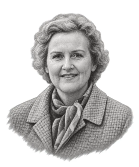
1904Born2000DiedFew people have done more to protect Dartmoor than Lady Sylvia Sayer. Her connection with the moor began in childhood through her grandfather, Robert Burnard, a founding member of the Dartmoor Preservation Association. In 1928, she made Dartmoor her home, and protecting its wild landscape became her life’s work.As chairman of the Dartmoor Preservation Association from 1951 to 1973, she fought against plans to flood valleys with reservoirs, expand china clay extraction and increase military development. She even challenged the National Park authorities themselves, resigning from its governing committee in 1957 when she believed they were failing to protect the landscape. Among her greatest achievements was helping defeat plans to flood the Swincombe Valley to create a reservoir.Her legacy lives on in the landscape she fought so hard to preserve. In her honour, we’ve created the Sylvias, a collection of 61 of Dartmoor’s finest tors and summits. They range from High Willhays, the highest point on Dartmoor at 622 metres, to Dewerstone Rock at 160 metres in the wooded Plym Valley. Each offers a different opportunity to explore the extraordinary landscape she dedicated her life to protecting.
Explore the Sylvias
Bell Tor423 mBellever Tor444.1 mBelstone Tor479 mBench Tor323 mBlack Tor502 mBlackingstone Rock355 mBonehill Rocks393 mBowerman's Nose390 mBrat Tor452 mBrent Tor334 mBuckland Beacon390 mChinkwell Tor460 mCombestone Tor356 mCosdon Hill550.5 mCox Tor442 mCrockern Tor406 m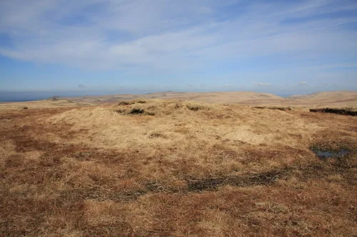 Cut Hill603.8 mDown Tor366 mEasdon Tor439 mFox Tor438 mFur Tor572 mGer Tor445 mGreat Links Tor589 mGreat Mis Tor538 mGreat Staple Tor455.2 mGreat Trowlesworthy Tor357 mGreator Rocks371 mHameldown Tor529 mHangingstone Hill604.6 mHare Tor531 mHaytor457 mHigh Willhays622 mHigher White Tor525 mHoneybag Tor445 mHookney Tor497 mHound Tor414 mHunter's Tor326 mKes Tor437 mKing's Tor401 mLeather Tor390 mLongaford Tor506.7 mNorth Hessary Tor517 mOke Tor466 mPew Tor330 mRippon Tor476 mRoos Tor454.1 mRyder's Hill515 mSaddle Tor428 mScorhill Tor380 mSharp Tor380 mSharpitor412 mSheeps Tor369 mShell Top475 mSteeperton Tor532 mThe Dewerstone160 mUgborough Beacon378 mWatern Tor536 mWestern Beacon334 mWild Tor537 mYar Tor416 mYes Tor618.6 m
No Sylvias match that search.
Subscribe for updates on new hikes and National Parks
One email a month with new hikes and routes. No spam.
Photo credits
- Scorhill Tor, DartmoorHerbythyme, CC BY-SA 4.0, via Wikimedia Commons. Cropped to fit.
- Bell TorNilfanion, CC BY-SA 3.0
- Bellever TorChris Thomas-Atkin, CC BY-SA 2.0
- Belstone TorDani, CC BY-SA 2.0
- Bench TorDerek Harper, CC BY-SA 2.0
- Black TorLewis Clarke, CC BY-SA 2.0
- Blackingstone RockNilfanion, CC BY-SA 3.0
- Bonehill RocksNilfanion, CC BY-SA 3.0
- Bowerman's NoseMark A Coleman, CC BY 3.0
- Brat TorRude Health, CC BY-SA 2.0
- Brent TorDes Blenkinsopp, CC BY-SA 2.0
- Buckland BeaconAlan Hunt, CC BY-SA 2.0
- Chinkwell TorDerek Harper, CC BY-SA 2.0
- Combestone TorDerek Harper, CC BY-SA 2.0
- Cosdon HillChris Andrews, CC BY-SA 2.0
- Cox TorVieve Forward, CC BY-SA 2.0
- Crockern TorAugust Schwerdfeger, CC BY 4.0
- Cut HillLewis Clarke, CC BY-SA 2.0
- Down TorHerbythyme, CC BY-SA 4.0
- Easdon TorDavid Smith, CC BY-SA 2.0
- Fox TorHerbythyme, CC BY-SA 4.0
- Fur TorLewis Clarke, CC BY-SA 2.0
- Ger TorNilfanion, CC BY-SA 3.0
- Great Links TorRude Health, CC BY-SA 2.0
- Great Mis TorHansjoerg Lipp, CC BY-SA 2.0
- Great Staple TorChris Andrews, CC BY-SA 2.0
- Great Trowlesworthy TorNilfanion, CC BY-SA 4.0
- Greator RocksNilfanion, CC BY-SA 4.0
- Hameldown TorChris Thomas-Atkin, CC BY-SA 2.0
- Hangingstone HillChris Andrews, CC BY-SA 2.0
- Hare TorAddshore, CC BY-SA 4.0
- HaytorColin Smith, CC BY-SA 2.0
- High WillhaysRude Health, CC BY-SA 2.0
- Higher White TorRude Health, CC BY-SA 2.0
- Honeybag TorAdrian King, CC BY-SA 2.0
- Hookney Tordon cload, CC BY-SA 2.0
- Hound TorRude Health, CC BY-SA 2.0
- Hunter's TorDavid Smith, CC BY-SA 2.0
- Kes TorDavid Smith, CC BY-SA 2.0
- King's TorDavid Purchase, CC BY-SA 2.0
- Leather TorDerek Harper, CC BY-SA 2.0
- Longaford TorRoger Cornfoot, CC BY-SA 2.0
- North Hessary TorNilfanion, CC BY-SA 3.0
- Oke TorChris Andrews, CC BY-SA 2.0
- Pew TorA Rosevear, CC BY-SA 2.0
- Rippon TorGareth James, CC BY-SA 2.0
- Roos TorMrC, CC BY-SA 2.0
- Ryder's HillRude Health, CC BY-SA 2.0
- Saddle TorDerek Harper, CC BY-SA 2.0
- Scorhill TorHerbythyme, CC BY-SA 4.0
- Sharp TorRichard Rogerson, CC BY-SA 2.0
- SharpitorNilfanion, CC BY-SA 3.0
- Sheeps TorPeter S, CC BY-SA 2.0
- Shell TopNilfanion, CC BY-SA 3.0
- Steeperton TorGuy Wareham, CC BY-SA 2.0
- The DewerstoneNilfanion, CC BY-SA 3.0
- Ugborough BeaconBill Boaden, CC BY-SA 2.0
- Western BeaconBill Boaden, CC BY-SA 2.0
- Wild TorChris Andrews, CC BY-SA 2.0
- Yar TorDerek Harper, CC BY-SA 2.0
- Yes TorLewis Clarke, CC BY-SA 2.0
- Cut HillGuy Wareham, CC BY-SA 2.0
Photos without a credit are our own. The others are used under Creative Commons licences, with thanks to the photographers.