


Hill data: The Database of British and Irish Hills v18.6 (CC BY 4.0). Tor details: Tors of DartmoorHeight538 m1,765 ft
Grid RefSX 56267 76908
OS MapOL28OS Explorer
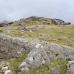
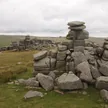
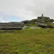
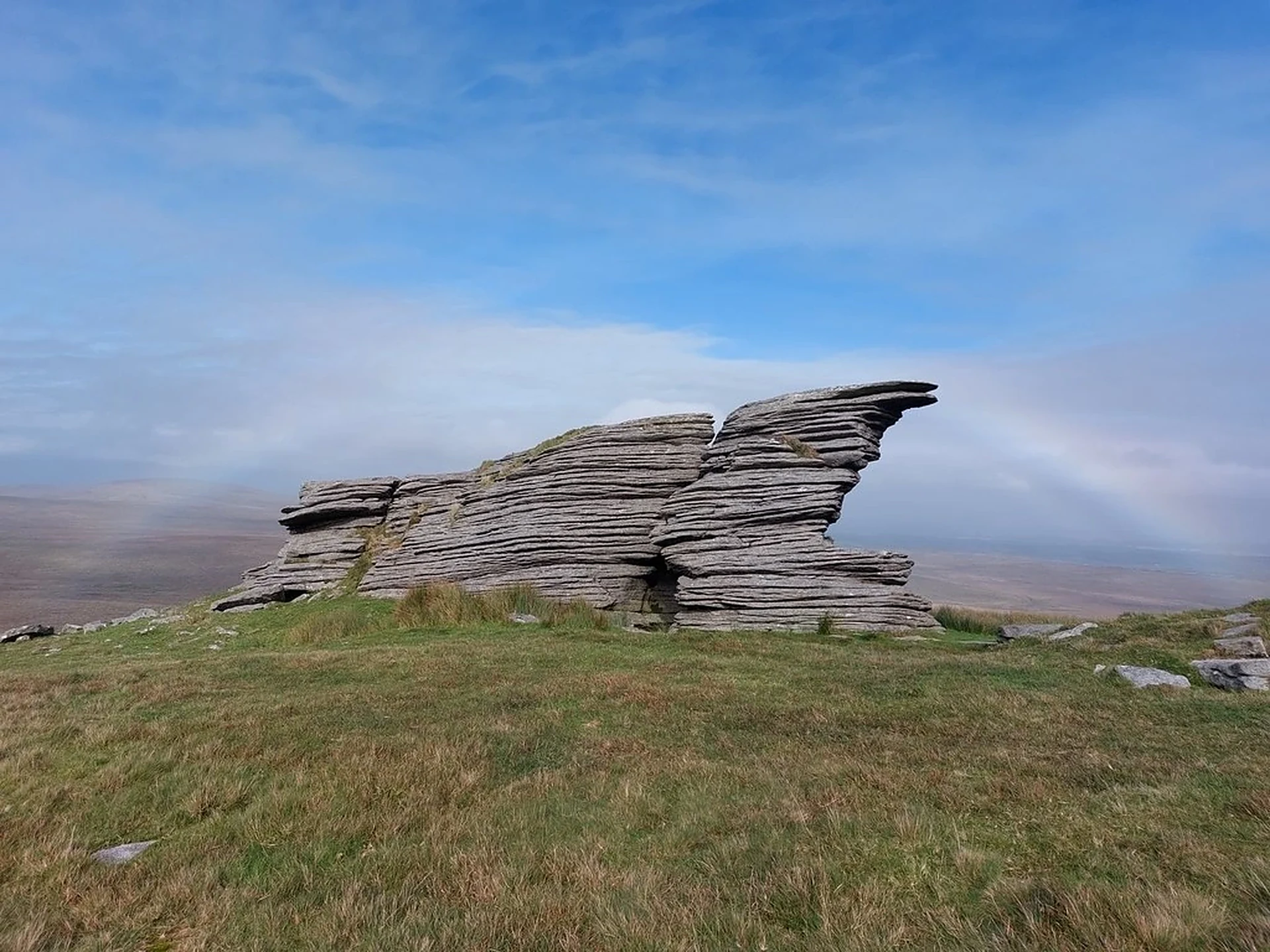
Great Mis Tor rises above the River Walkham north-east of Merrivale and is one of the best known tors on the west side of the moor. A rock basin on its summit is known as Mis Tor Pan. The area is used by the army for training, so check the firing times before you go.
New to the Sylvias?Read our guide: What Are The Dartmoor Sylvias?Rock & Ground
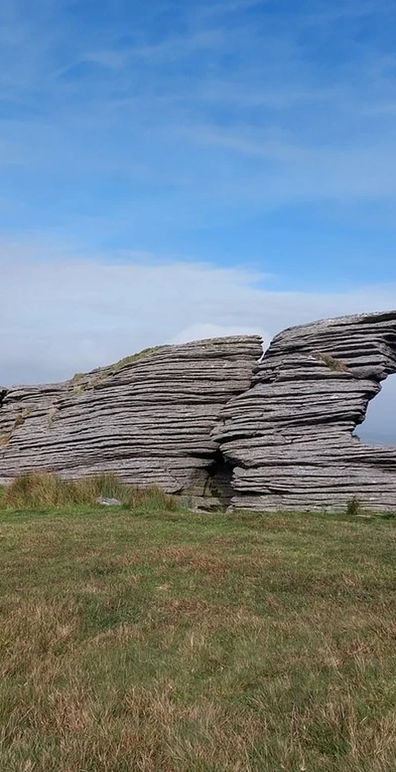
Granite, in large piles.
Summit Weather
Our Route
Distance9.2 mi14.9 km
Ascent590 m1,940 ft
Time4h 36mwalking
StartMerrivaleSX 5531 7501
DirectionsAlso on this route: Great Staple Tor, Roos Tor, King's Tor
Safety: Routes are a guide only. Carry a map and compass and know how to use them, check the weather before you go, and turn back if in doubt. You use this route at your own risk.