


Hill data: The Database of British and Irish Hills v18.6 (CC BY 4.0). Tor details: Tors of DartmoorHeight515 m1,690 ft
Grid RefSX 65980 69069
OS MapOL28OS Explorer
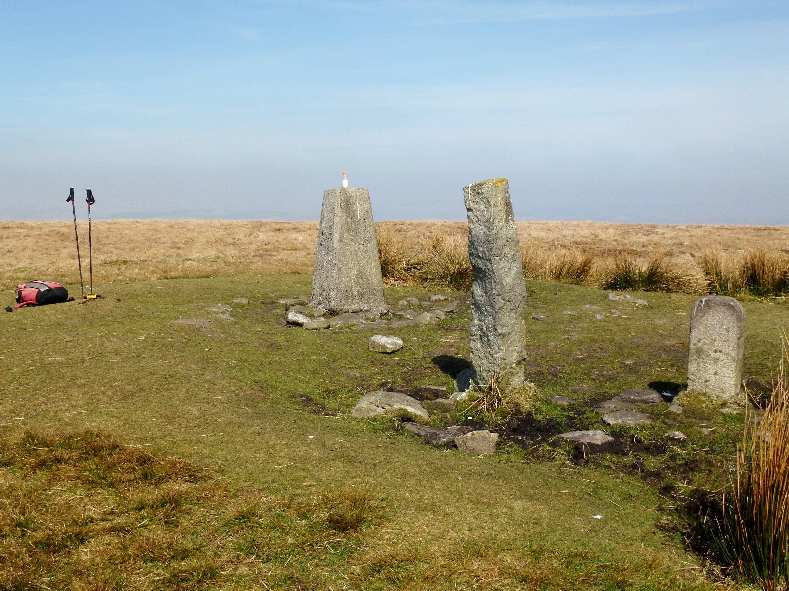
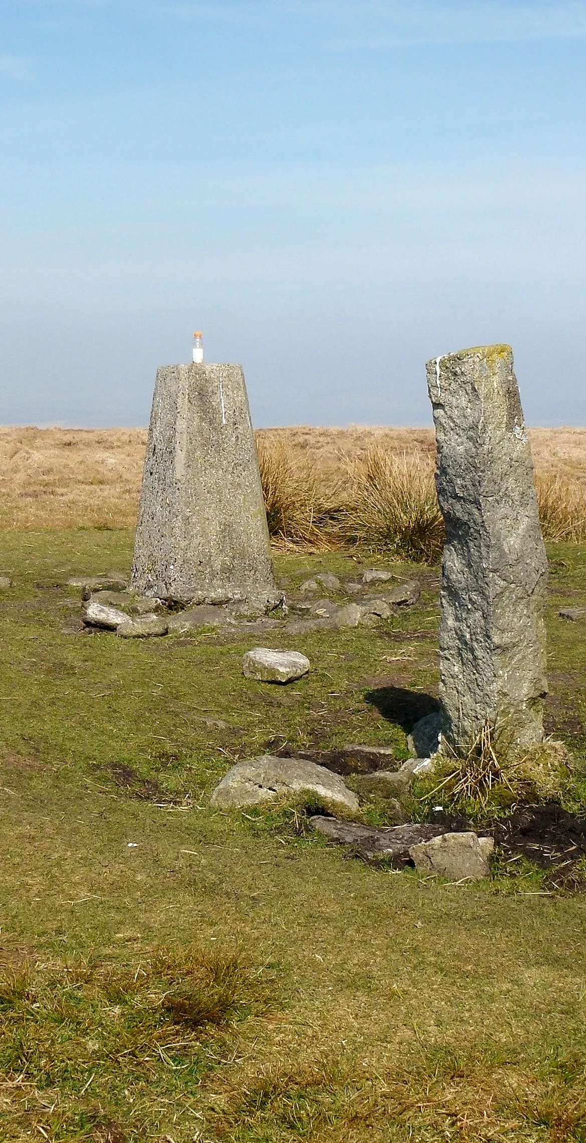
Ryder's Hill is the highest point on the southern half of Dartmoor. A trig pillar sits on a low cairn that marked the edge of the Forest of Dartmoor as far back as 1240, with Petre's Bound Stone standing beside it.
New to the Sylvias?Read our guide: What Are The Dartmoor Sylvias?Rock & Ground
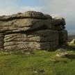
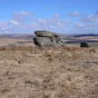
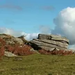
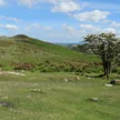
Broad grassy top with peat, a cairn and old boundary stones.
Summit Weather
Our Route
Distance6.7 mi10.8 km
Ascent280 m920 ft
Time3h 06mwalking
Start & FinishVenford Reservoir car parkSX 6922 7049 · circular route
DirectionsAlso on this route: Bench Tor
Safety: Routes are a guide only. Carry a map and compass and know how to use them, check the weather before you go, and turn back if in doubt. You use this route at your own risk.