
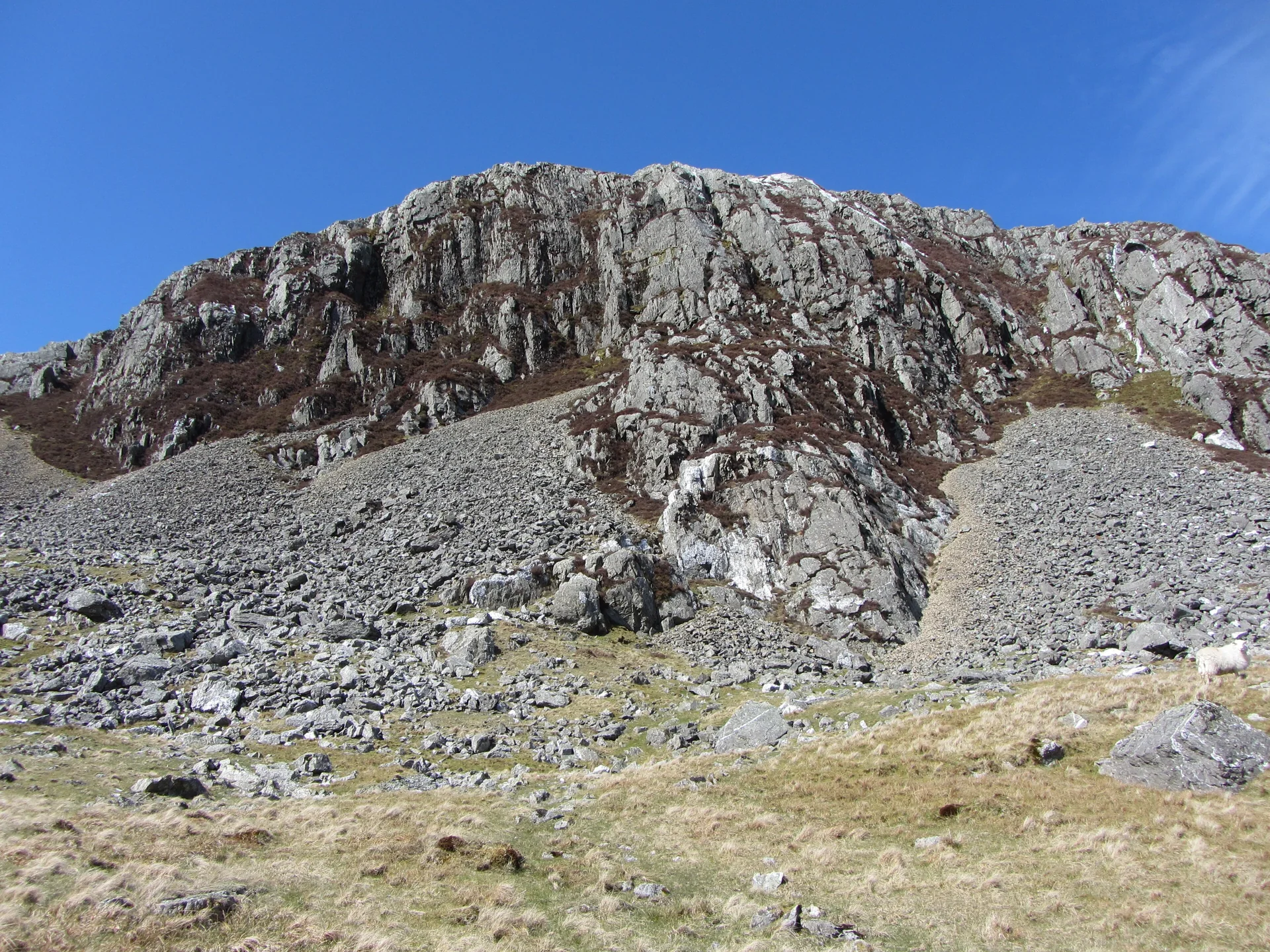



Five weather models, one summit. See each model's hourly forecast for the top of your hill, side by side. When they agree, you can trust the forecast more. When they don't, plan for the worst of them.
Model Agreement
How closely the models match each day between 8AM and 6PM. Tap a day to see its hours. How we rate agreement
Hour by Hour
Model Charts
One line per model for the chosen day. Tap or hover a chart to read the values at that hour.
How Agreement Is Rated
This is The Lost Peak's own rule of thumb, not an official measure. For each day we look at the hours from 8AM to 6PM and compare every model that has data.
| Measure | High | Medium | Low |
|---|---|---|---|
| Gusts: average gap between the highest and lowest model, hour by hour | 10 mph or less | Up to 20 mph | Over 20 mph |
| Temperature: average gap between the warmest and coldest model, hour by hour | 2°C or less | Up to 4°C | Over 4°C |
| Rain: gap between the wettest and driest model's total for 8AM to 6PM | 2 mm or less | Up to 5 mm | Over 5 mm |
The day's overall rating is the lowest of the three. We need at least three models with data to give a rating. Agreement is not the same as accuracy: models can all be wrong together, so always check the mountain forecasts.
Hazard Thresholds
Wind
The Mountain Weather Information Service describes wind of 25 to 40 mph as "Windy, walking impeded", 40 to 55 mph as "Gale force, walking arduous" where "stronger gusts may knock you off your feet", and 55 to 70 mph or more as "Severe gale or storm, mobility very difficult". We colour the mean wind using these bands.
Gusts
The Met Office mountain forecast calls winds with consistent gusts above 50 mph gale force: "Difficult and strenuous conditions with a risk of being blown over". Gusts above 70 mph are storm force: "standing may be impossible at times". We colour gusts at these two levels.
Feels like
Open-Meteo's apparent temperature is the "perceived feels-like temperature combining wind chill factor, relative humidity and solar radiation". The Met Office says wind chill "takes into account wind speeds and humidity to assess how the human body actually feels temperature". We flag any hour where the feels-like value is below 0°C, so it feels below freezing on the summit.
Freezing level
Open-Meteo gives the freezing level as the "altitude above sea level of the 0°C level". When it is lower than the summit, the top of the hill is above the freezing level. Not every model provides it.
Fog
The Met Office says that, by international agreement (mainly for aviation), fog means visibility of less than 1 km. We flag summit visibility under 1 km. Only some models forecast visibility. We do not estimate cloud base, as we could not find a sourced method that works with this data.
Summit height
Open-Meteo adjusts each forecast to a height you give it, using "statistical downscaling". We send the hill's summit height, so values are for the top, not the valley. For "my location" we let Open-Meteo use its own 90 metre terrain model.
The Models
Details from the Open-Meteo documentation. "Seamless" means Open-Meteo joins a provider's high-detail short-range model to its longer-range model. Where a model has no data for an hour or a variable, you will see a dash.
Sources
- Forecast data: Weather data by Open-Meteo.com (CC BY 4.0), using models from the Met Office, ECMWF, DWD, Météo-France and NOAA.
- Open-Meteo forecast API documentation: models, variables, elevation downscaling and weather codes. Model details: UK Met Office, ECMWF, DWD ICON, Météo-France, NOAA GFS.
- Mountain Weather Information Service: forecast icon information (wind bands and their effect on walkers).
- Met Office: mountain forecast guide (gale and storm force gusts).
- Met Office: the difference between mist and fog (fog visibility).
- Met Office: wind chill factor.
- Hill heights and positions: The Database of British and Irish Hills v18.6, via The Lost Peak's hill lists.