
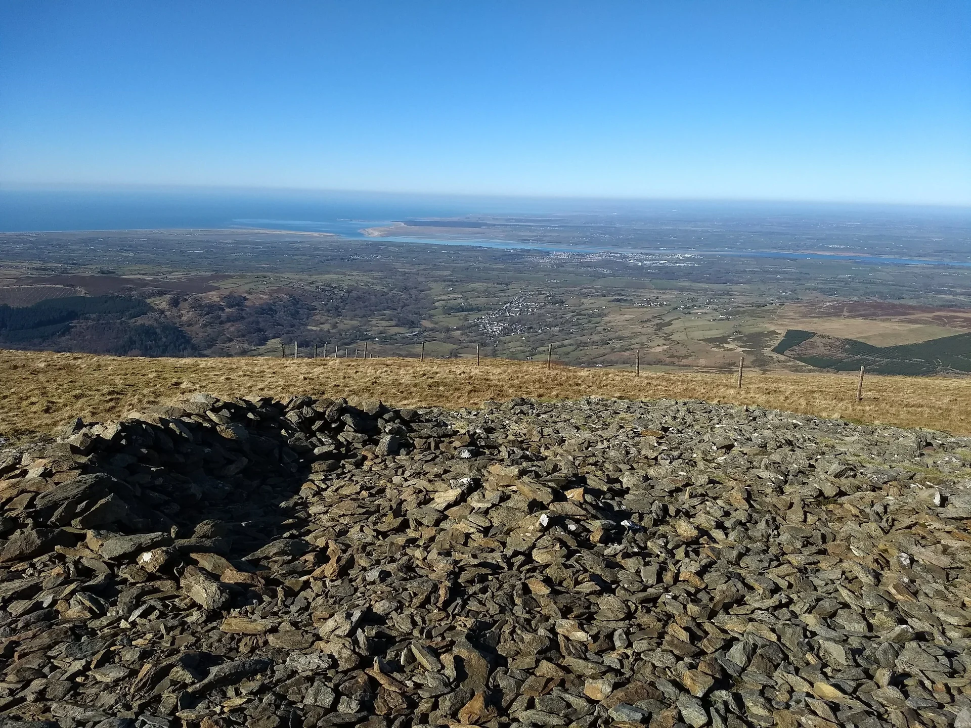

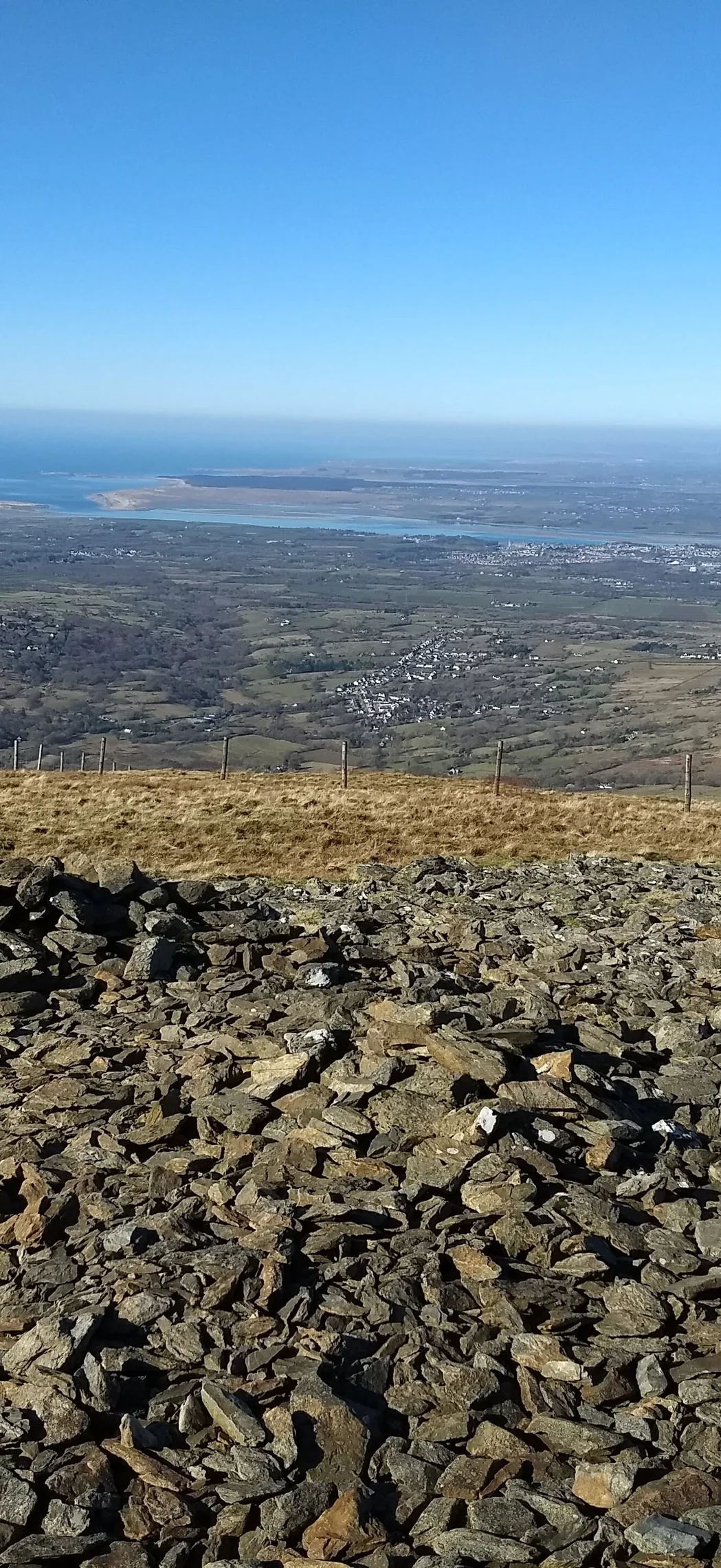


Stand on any summit in our hill lists and look around in 3D. Every hill from our lists that you can actually see from the top is named, and you can move the sun to see the light at any time of day.
Hills You Can See
Hills from our lists within 37 miles (60 km) with a clear line of sight from the top. Tap one to turn and face it.
How It Works
The 3D view. The ground is built from Mapbox's elevation tiles with satellite photos laid over it. Heights are stretched by 1.5 times so the hills read clearly on a small screen. The camera floats just above the summit so the ground at your feet doesn't fill the view.
Which hills you can see. For each hill within 60 km we step along the straight line from your summit to its top, reading the ground height from the same Mapbox elevation tiles. If any ground on the way blocks the line, the hill is hidden. We use the real heights here, not the stretched ones.
Curve of the Earth. Far hills sit lower than they would on a flat Earth, but light bends a little in the air and lifts them back up slightly. We lower each point by (1 - k) × d² / D, where d is the distance, D is the Earth's diameter (12,740,000 m) and k is the refraction coefficient (0.13). This is the method and the default values Esri uses in ArcGIS.
The sun. The sun's height and direction come from NOAA's solar position equations, for the summit's position and the date and time you pick. Times are UK time.
Sources
- Hill heights and positions: The Database of British and Irish Hills (DoBIH), as used across The Lost Peak.
- 3D ground and line of sight: Mapbox Terrain-DEM v1, with satellite imagery and map styles from Mapbox and OpenStreetMap contributors.
- Earth curvature and refraction (k = 0.13, Earth diameter 12,740,000 m): Esri, Using Viewshed and Observer Points for visibility analysis.
- Sun position, sunrise and sunset: NOAA Global Monitoring Laboratory, General Solar Position Calculations.