


Hill data: The Database of British and Irish Hills v18.6 (CC BY 4.0). Tor details: Tors of DartmoorHeight326 m1,070 ft
Grid RefSX 76226 82362
OS MapOL28OS Explorer
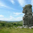
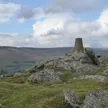
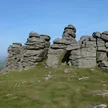
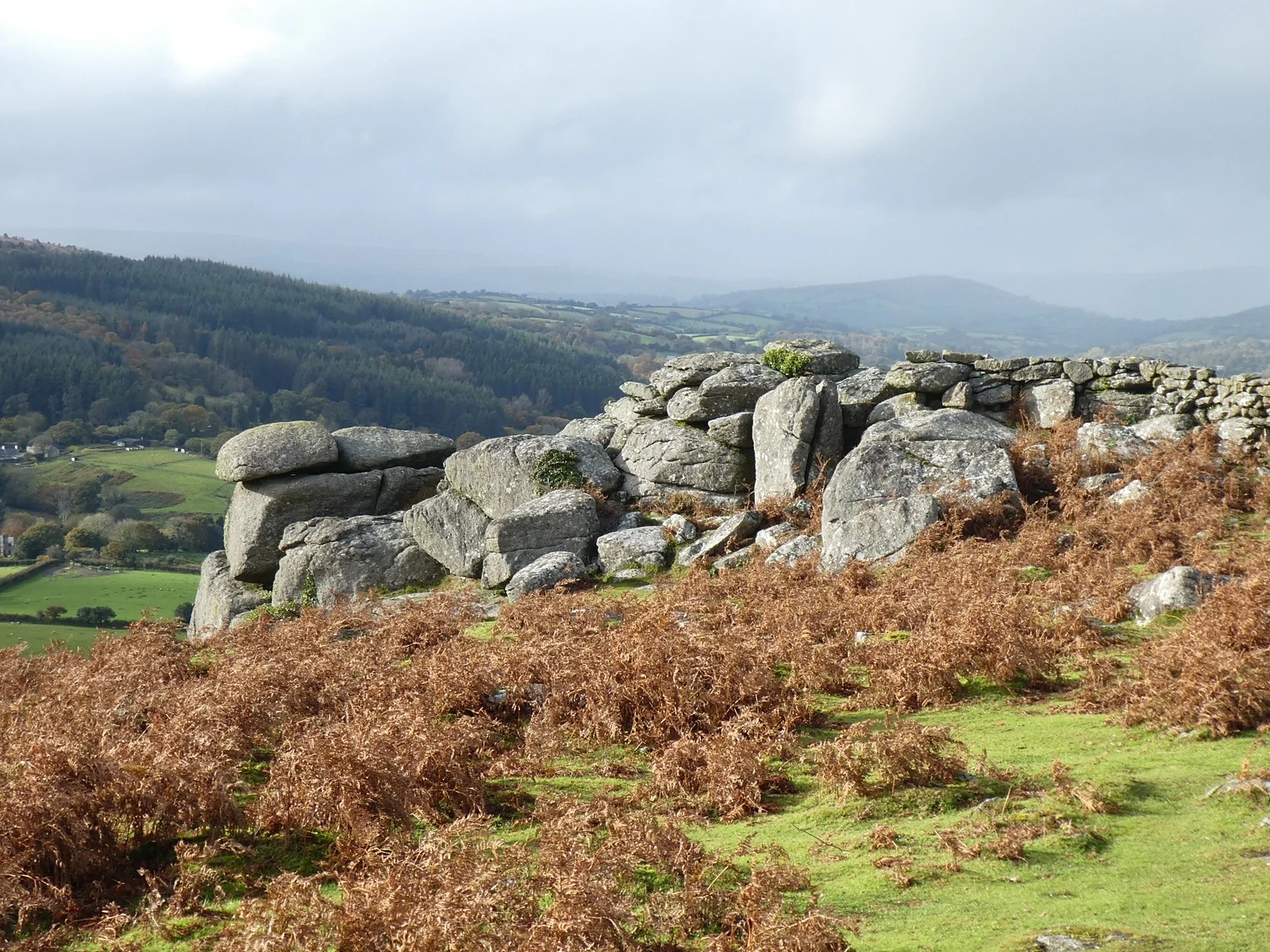
Hunter's Tor stands at the northern end of Lustleigh Cleave, the steep wooded valley of the River Bovey. The top was the site of an Iron Age settlement, and the view takes in Haytor, Hound Tor and Bowerman's Nose.
New to the Sylvias?Read our guide: What Are The Dartmoor Sylvias?Rock & Ground
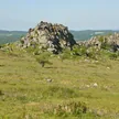
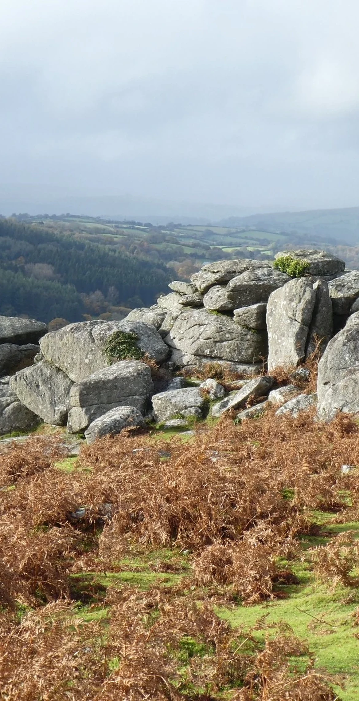
Granite tor on a ridge, partly built into an old wall.
Summit Weather
Our Route
Distance8.3 mi13.4 km
Ascent610 m2,000 ft
Time4h 17mwalking
Start & FinishManaton church car parkSX 7497 8119 · circular route
DirectionsAlso on this route: Bowerman's Nose, Easdon Tor
Safety: Routes are a guide only. Carry a map and compass and know how to use them, check the weather before you go, and turn back if in doubt. You use this route at your own risk.