


Hill data: The Database of British and Irish Hills v18.6 (CC BY 4.0). Tor details: Tors of DartmoorHeight532 m1,745 ft
Grid RefSX 61851 88726
OS MapOL28OS Explorer
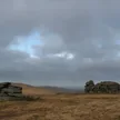
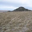
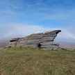
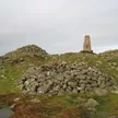
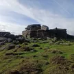
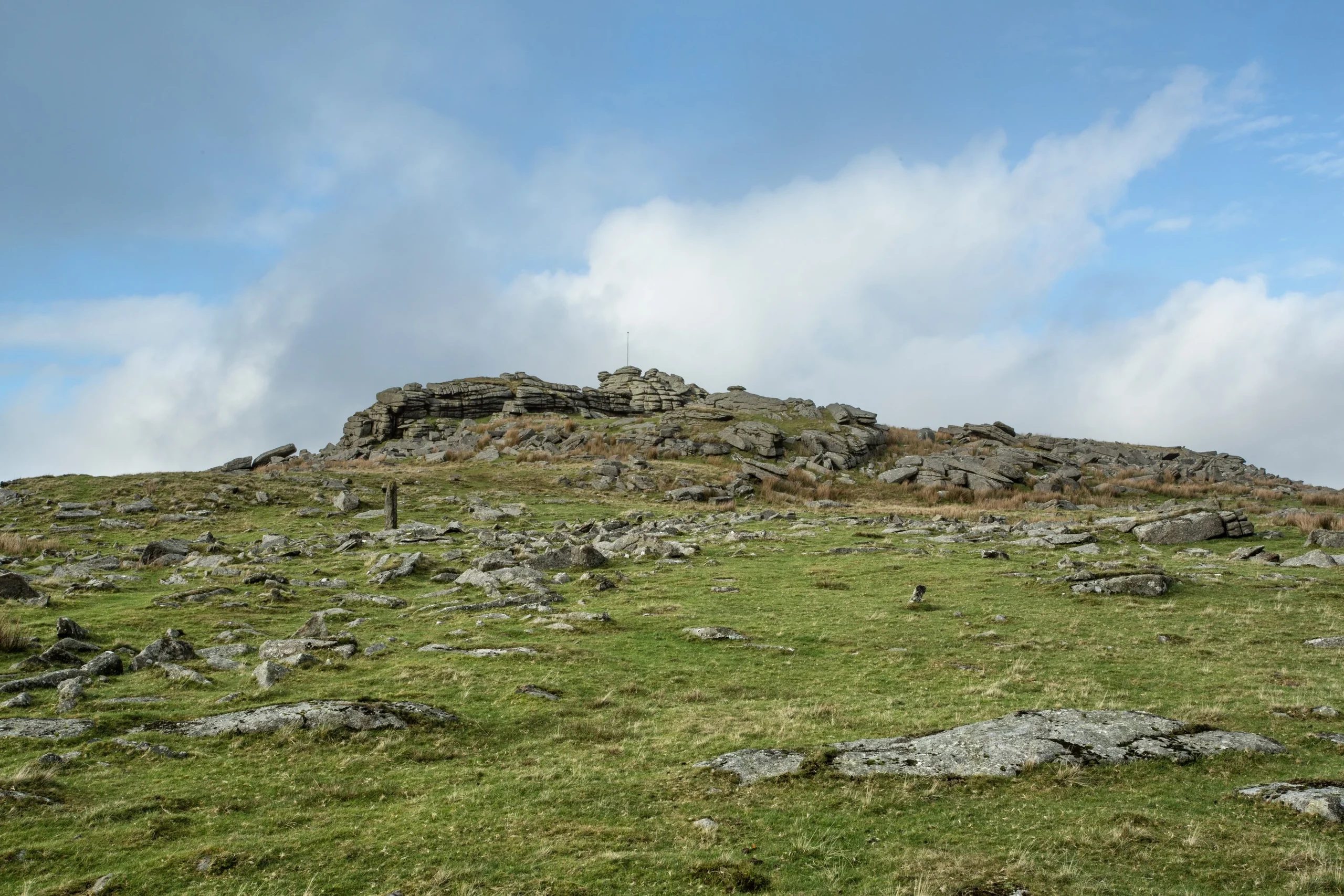
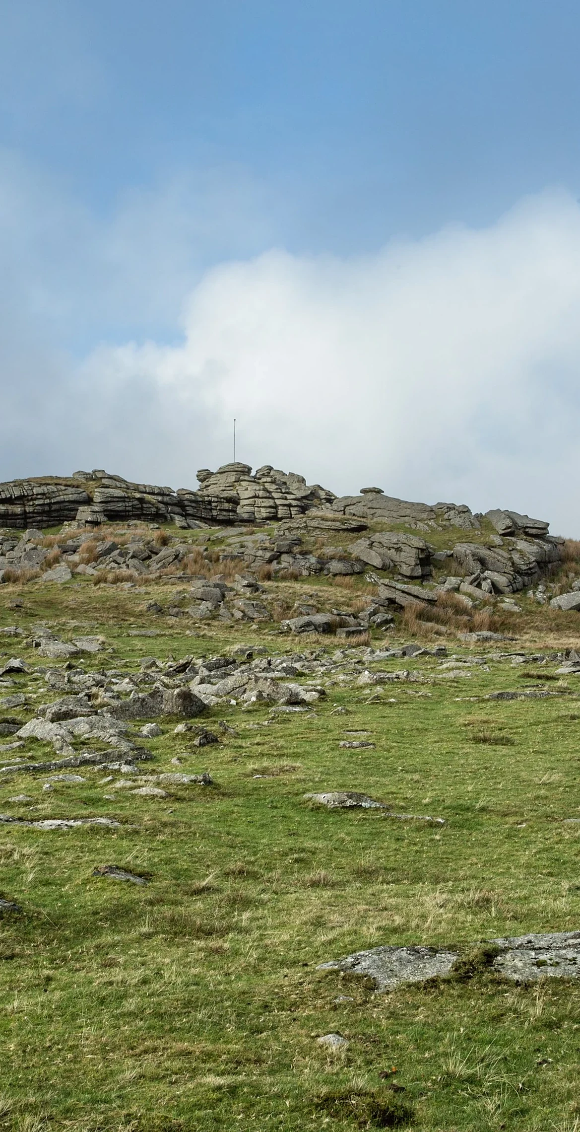
Steeperton Tor rises steeply between the River Taw and the Steeperton Brook on the north moor, with Taw Marsh below it to the north. Its rocks crown a long, narrow ridge.
New to the Sylvias?Read our guide: What Are The Dartmoor Sylvias?Rock & Ground
Granite.
Summit Weather
Our Route
Distance9.4 mi15.2 km
Ascent480 m1,570 ft
Time4h 31mwalking
Start & FinishBelstone villageSX 6201 9314 · circular route
DirectionsAlso on this route: Cosdon Hill, Belstone Tor, Oke Tor
Safety: Routes are a guide only. Carry a map and compass and know how to use them, check the weather before you go, and turn back if in doubt. You use this route at your own risk.