


Hill data: The Database of British and Irish Hills v18.6 (CC BY 4.0)Height610 m2,001 ft
Grid RefSO 21287 63612
OS Map201OS Explorer
AreaRadnor Forest
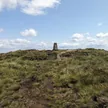
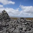
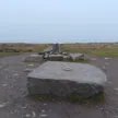
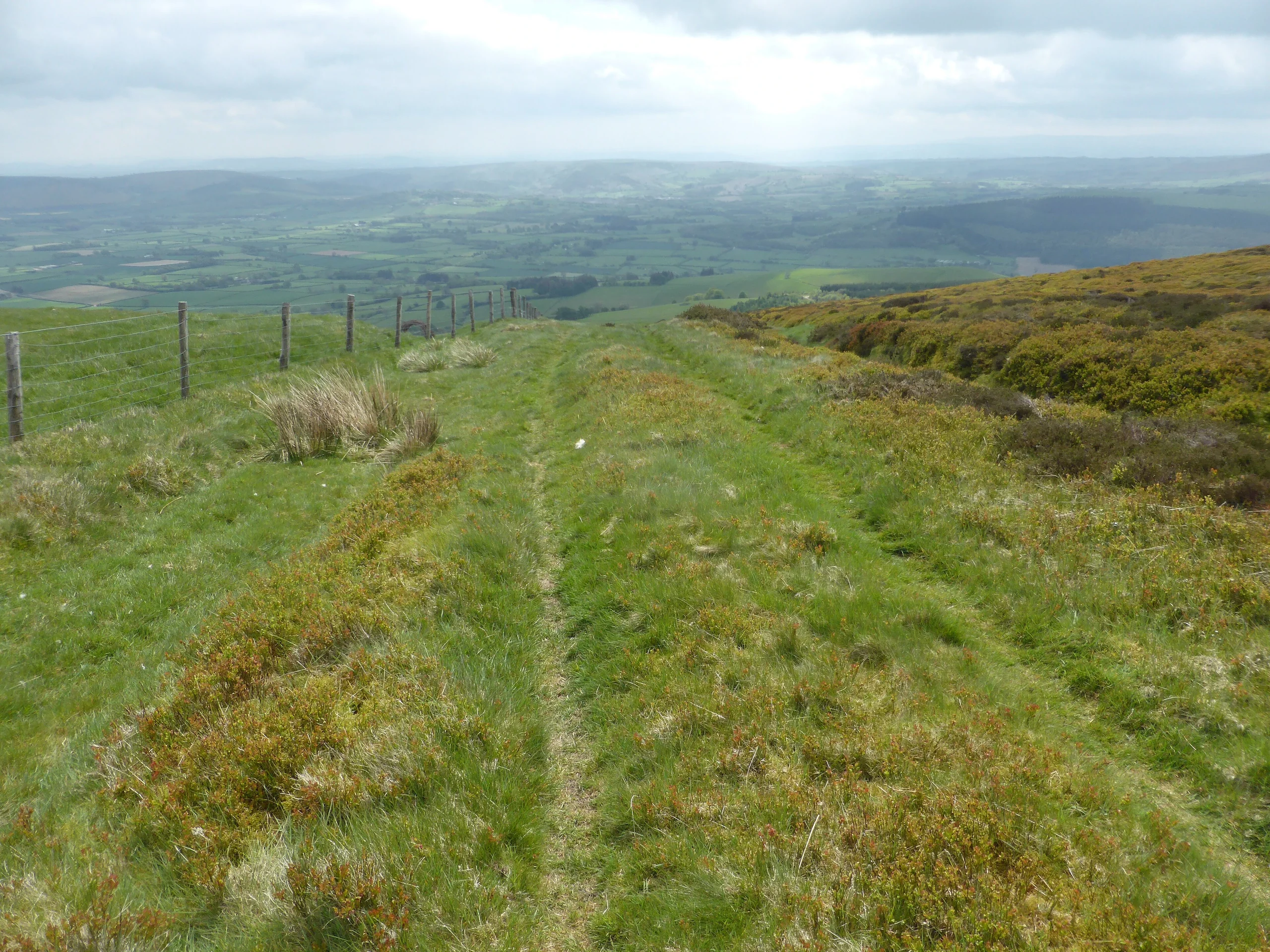
Known in Welsh as Bryn Bach, Bache Hill is a subsidiary summit of Great Rhos in Radnor Forest, east of Black Mixen. Its trig point stands on an ancient burial mound, probably Bronze Age, and some walkers doubt its 2,000-foot status because 610 m might be the top of the man-made mound. The listed high point is open ground about 110 m west of the tumulus.
New to the Pennants?Read our guide: What Are The Welsh Pennants?Summit Weather
Our Route
Distance8.7 mi14.1 km
Ascent490 m1,610 ft
Time4h 10mwalking
Start & FinishSO 2055 6185Circular route, back to the same spot
DirectionsAlso on this route: Great Rhos, Black Mixen
Safety: Routes are a guide only. Carry a map and compass and know how to use them, check the weather before you go, and turn back if in doubt. You use this route at your own risk.