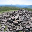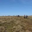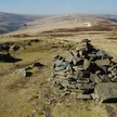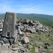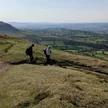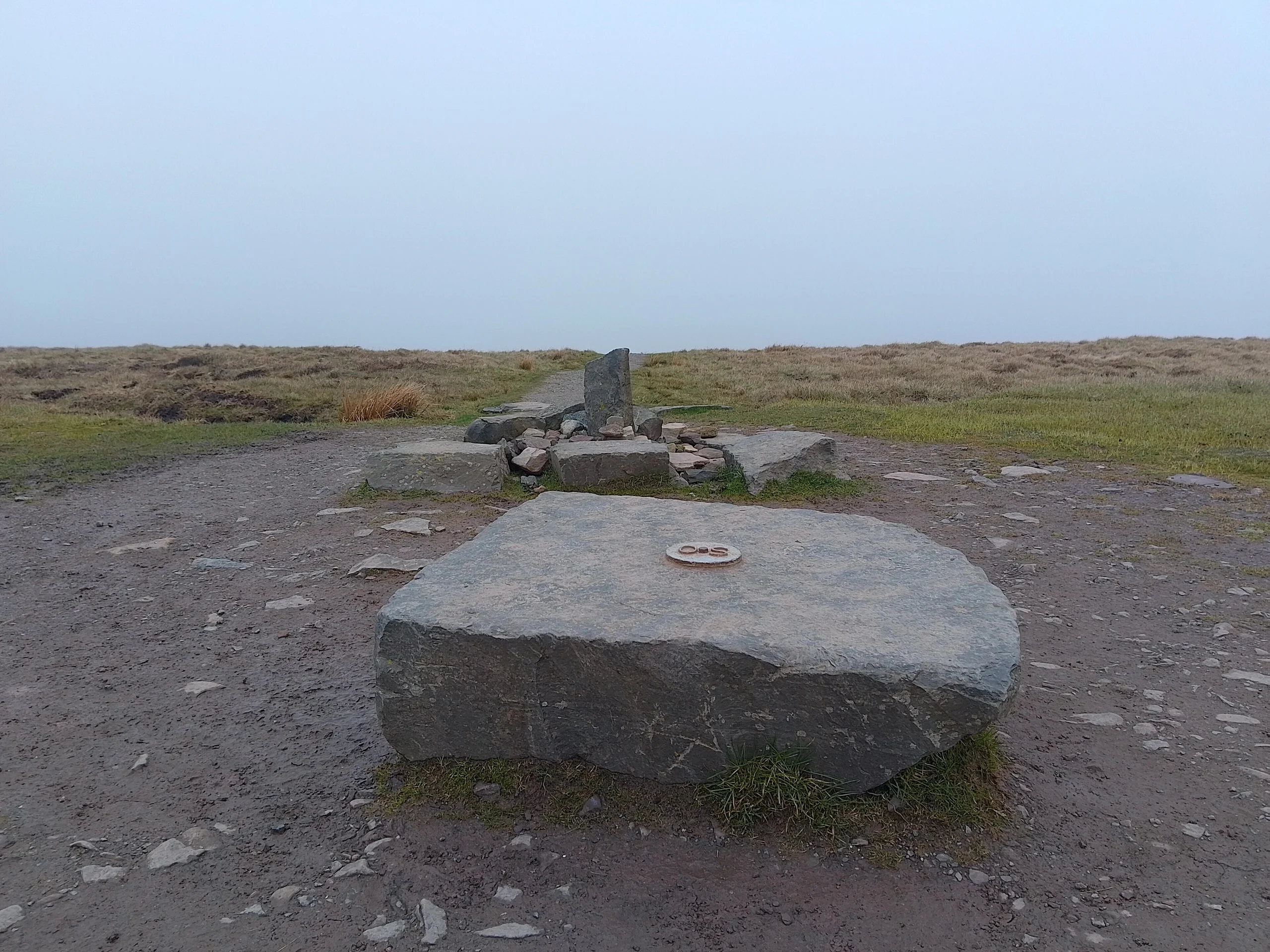

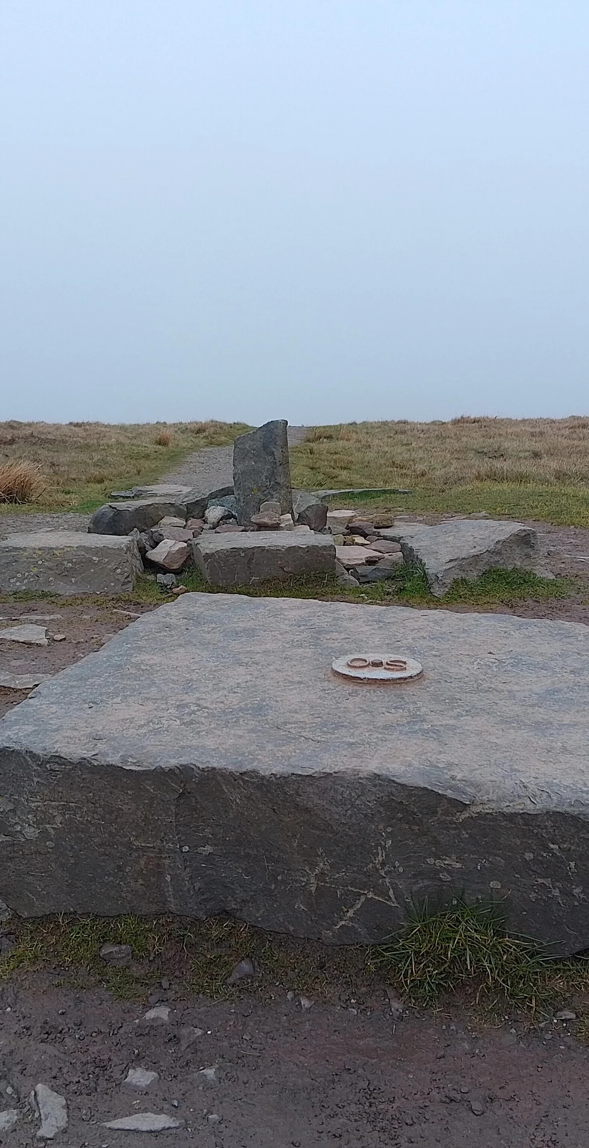


Crowning the Black Mountains at 811 m, Waun Fach is the third highest mountain in Britain south of Snowdonia, after Pen y Fan and Corn Du. Its rounded summit is almost indistinguishable, with no feature to mark it, while the lower ridge tops of Pen Trumau and Pen y Gadair Fawr are much more recognisable. It stands at the head of the Grwyne Fechan valley, and the paths from the north and west have been repaired and improved by the National Park Authority.
New to the Pennants?Read our guide: What Are The Welsh Pennants?The summit and upper slopes are Old Red Sandstone of the Brownstones Formation, but no rock shows on top, which is covered by a thick layer of peat.
Summit Weather
Our Route
Also on this route: Pen y Gadair Fawr, Chwarel y Fan, Mynydd Llysiau
Safety: Routes are a guide only. Carry a map and compass and know how to use them, check the weather before you go, and turn back if in doubt. You use this route at your own risk.