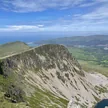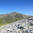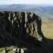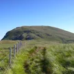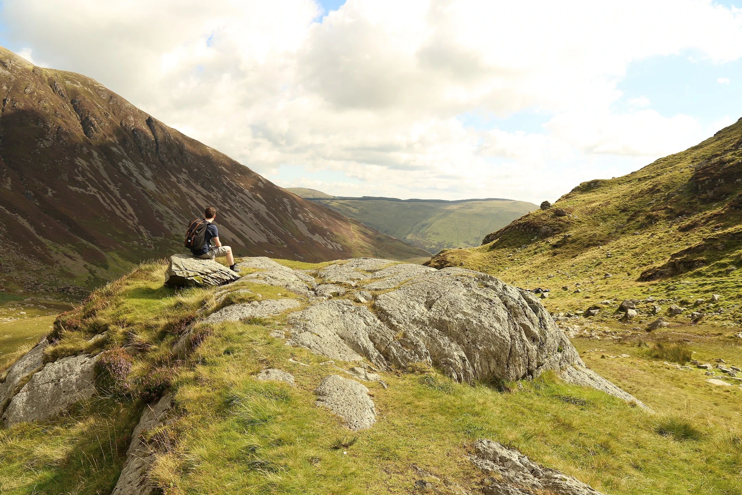

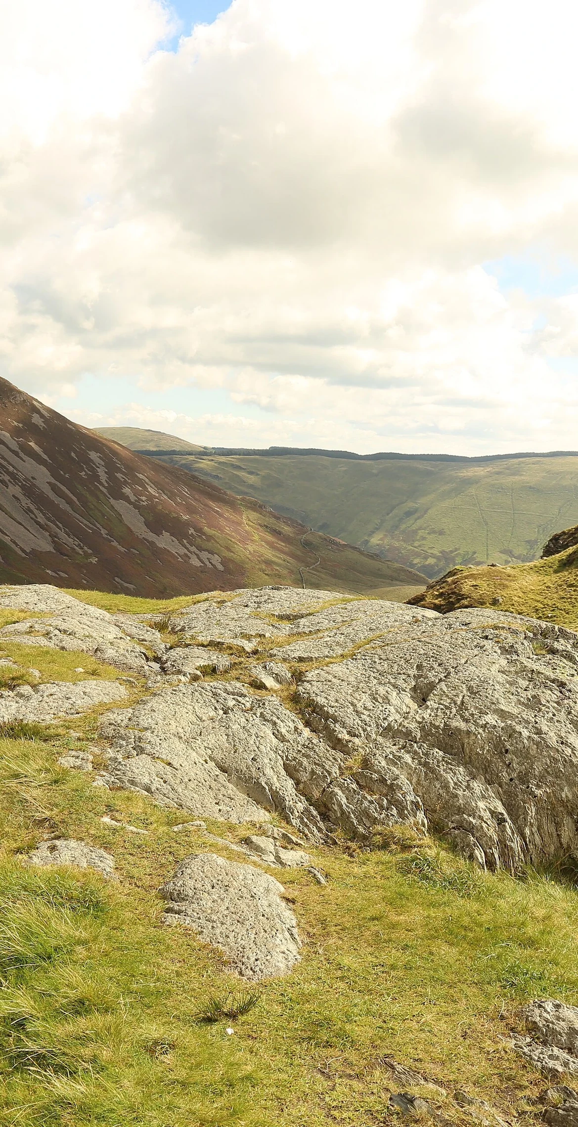


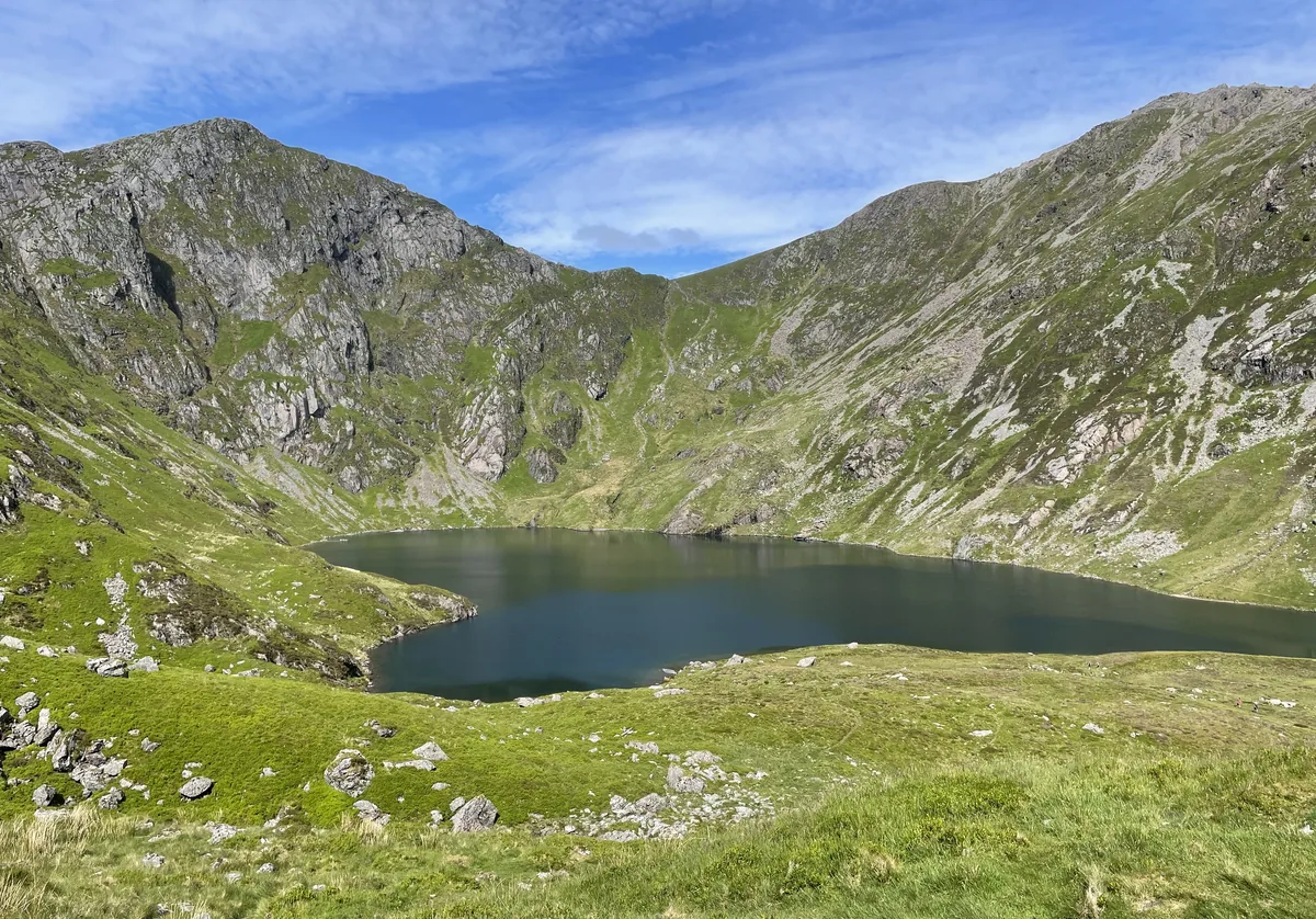
The summit of Cadair Idris, one of the most popular mountains in Wales for walkers, stands at 892.7 m near Dolgellau at the southern end of Snowdonia National Park. Its name means 'top of the chair' (or stronghold), and the scree-covered top carries a trig point and a low stone shelter with a roof. Three main paths climb it: the long Pony Path from the north, the steep, eroded Fox's Path up the northern face, and the Minffordd Path past Llyn Cau and along the rim of Craig Cau.
New to the Pennants?Read our guide: What Are The Welsh Pennants?Built largely of Ordovician igneous and sedimentary rocks, with glacial cwms and a scree-covered summit.
Summit Weather
Our Route
Also on this route: Mynydd Moel, Cyfrwy, Craig Cwm Amarch
Safety: Routes are a guide only. Carry a map and compass and know how to use them, check the weather before you go, and turn back if in doubt. You use this route at your own risk.