



Contents
Overview
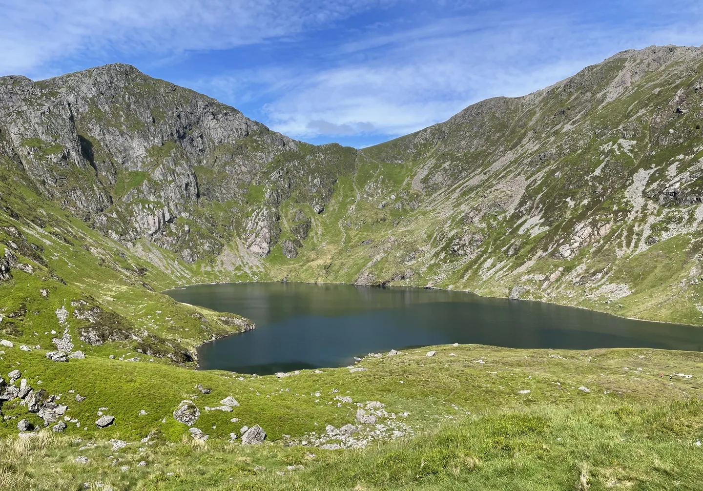
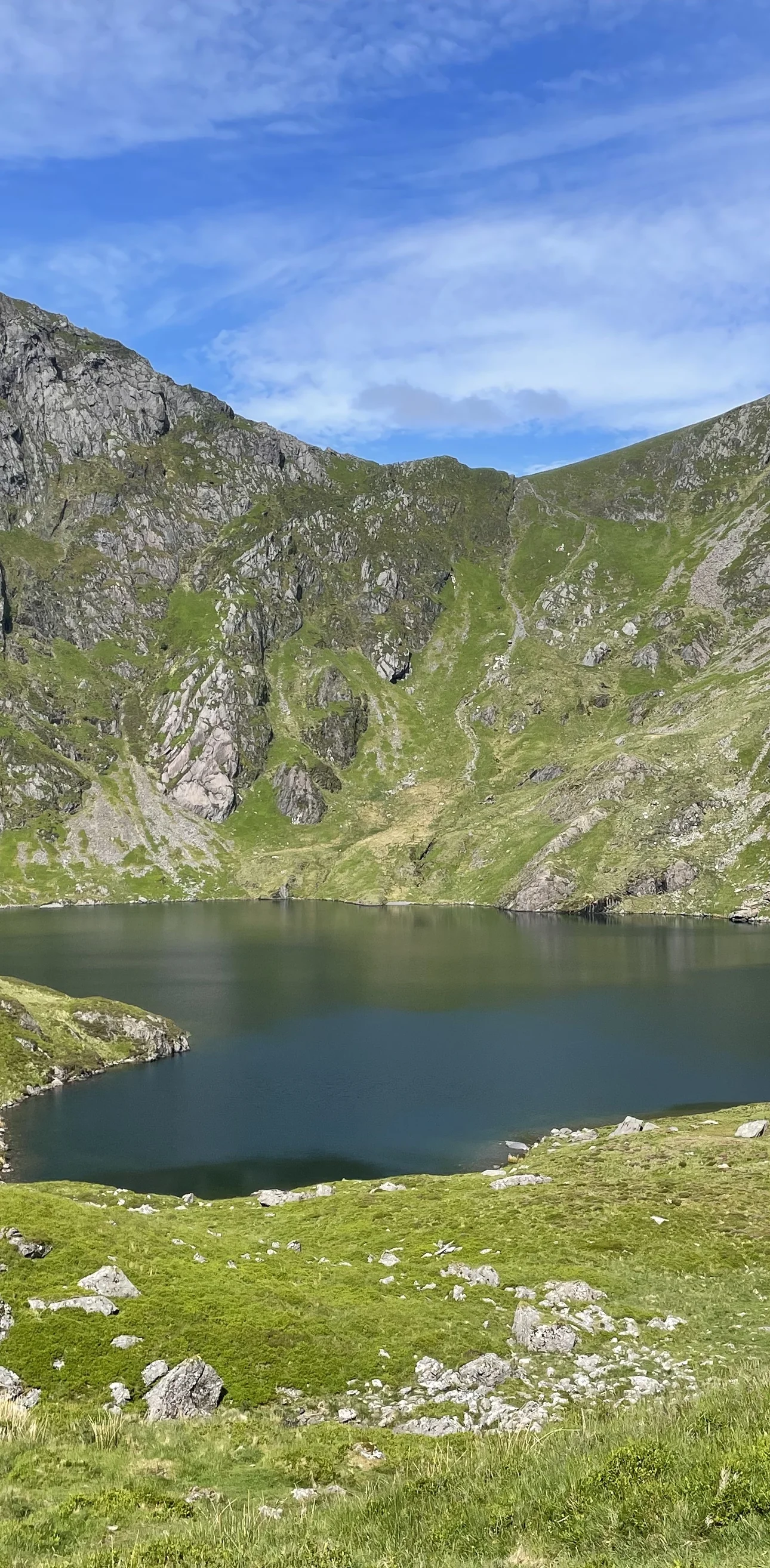
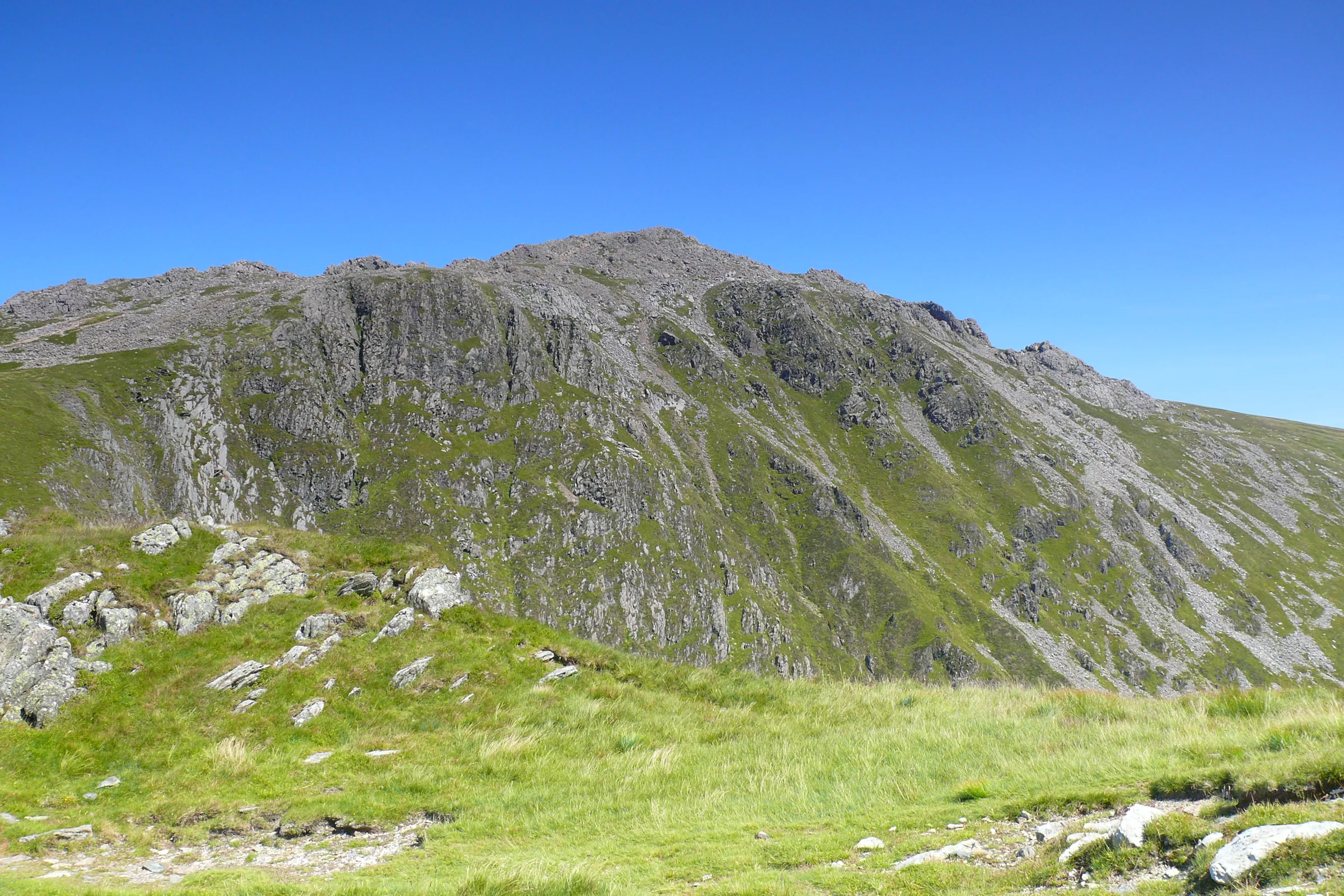
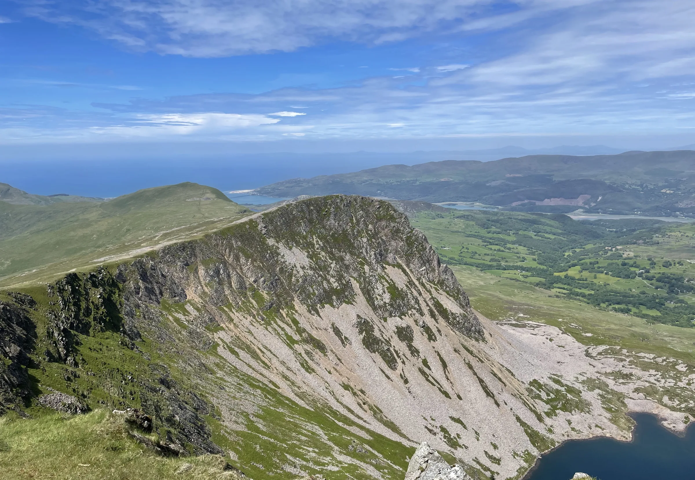
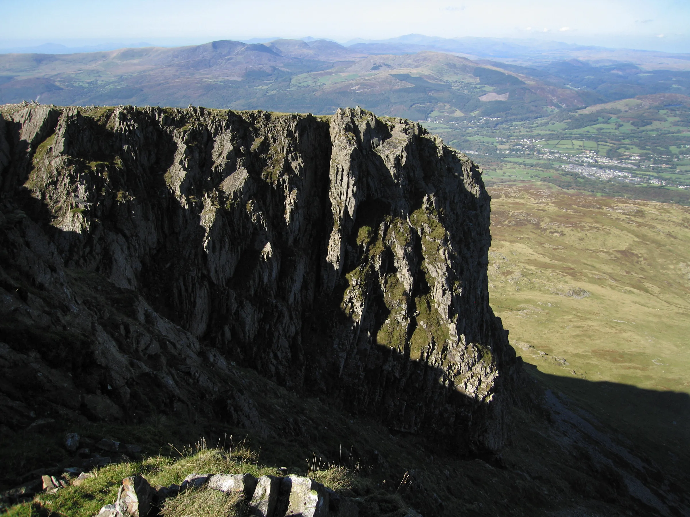
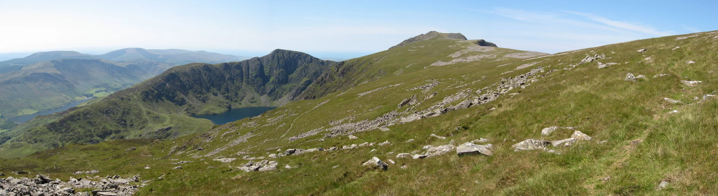
Sleep a night on Cadair Idris, the old story goes, and you'll wake up either a poet or a madman. Most people settle for a day walk, and the Minffordd side is the one to choose. On this side, ice carved out Cwm Cau, a deep bowl of sheer cliffs with the dark lake of Llyn Cau at the bottom. The path climbs all the way round its rim. Penygadair, the main summit, is 893m high, and its neighbour Mynydd Moel, at 863m, is the second-highest top on the mountain.
From Dôl Idris car park at Minffordd you climb on stone steps through the woods beside Nant Cadair, a steep start that gains nearly 200m in just over half a mile. Out of the trees the path eases into Cwm Cau, and at a fork you bear right to the shore of Llyn Cau. A steep, eroded climb then takes you up onto the rim at Craig Cwm Amarch (791m), and you follow the cliff edge round, down to the dip of Bwlch Cau and up to the trig point on Penygadair. From the top you head east along the edge to Mynydd Moel, then take a long, steep path south down the hillside to rejoin the way you came at the top of the woods, and drop back down the steps to the car park. Once you're above the trees there are no waymarks, so carry a map and know how to use it, or follow our route on one of the navigation apps below. This walk takes in three Pennants: Craig Cwm Amarch, Penygadair and Mynydd Moel. Find all 136 on our Pennants map.
Go prepared, stay safe,
and enjoy the hike!
Key Info
Crowds
High
Cadair Idris is one of the most popular mountains in Wales for walkers, and the Minffordd Path is its shortest way up, so expect company on the path and at the summit. Weekends and bank holidays usually get very busy, and Dôl Idris car park can fill up at busy times.
When it gets busy
- Weekends and bank holidays, which usually get very busy on the mountain
- Dôl Idris car park at busy times, when it can fill up
For a quieter walk
- Go on a weekday in spring or autumn for a quieter walk
- Arrive early to be sure of a space at Dôl Idris
- Take the T2 bus to Minffordd and skip the car park altogether
Our crowd rating is for a typical sunny weekend in spring or summer, in the middle of the day. Timing makes a big difference, so even a busy walk can be quiet early, late or midweek.
The Route
Disclaimer: Route information and GPX files are provided for general guidance only. Conditions can change, so always use your own judgement and navigate responsibly. See our Terms of Use & Disclaimer for more information.
Route Guide
- 1
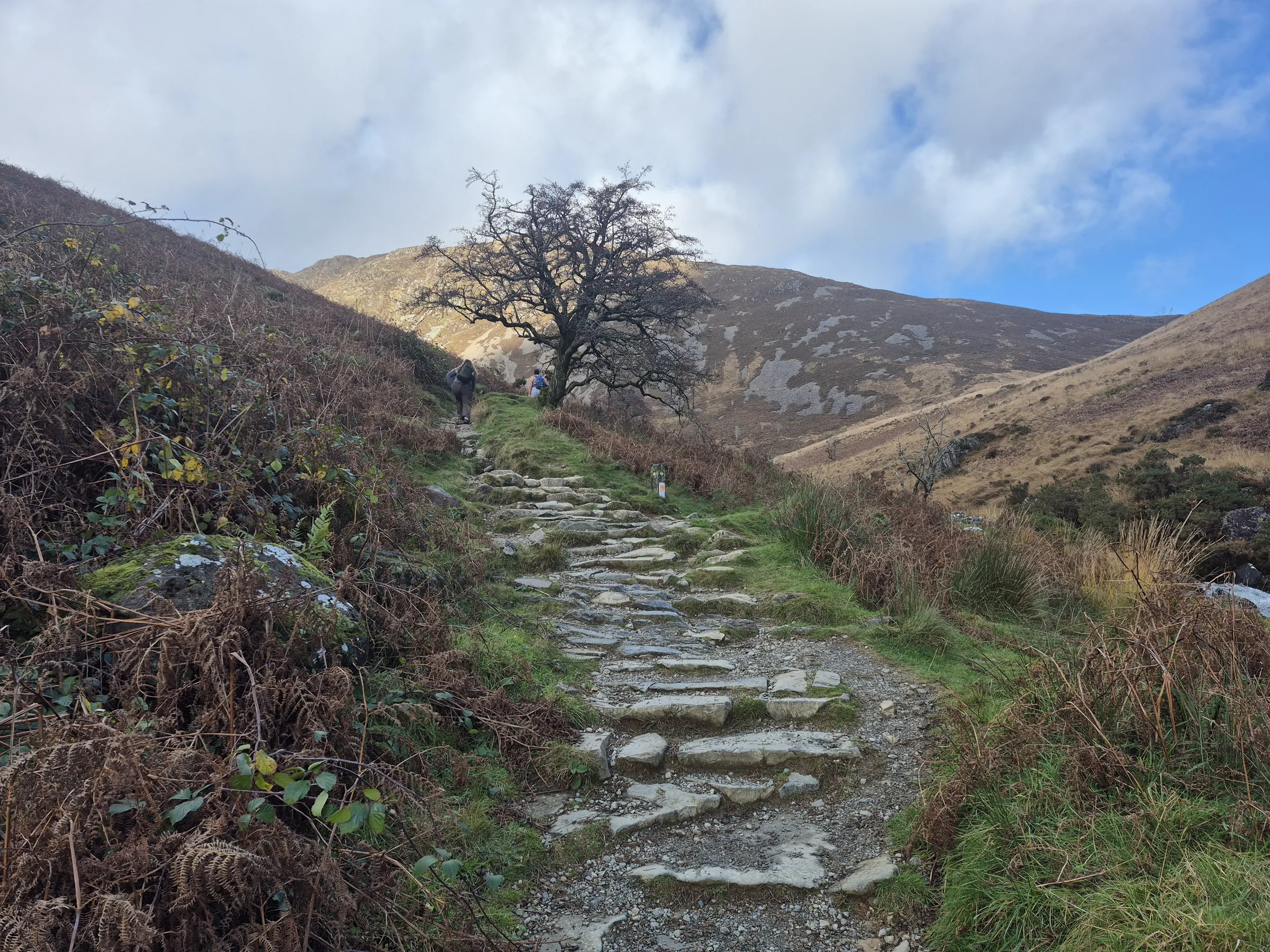
Up the Steps by Nant Cadair0.7 mi · 196m up · 3m downLeave Dôl Idris car park on the path heading west through the parkland, then go through the gate into the woods. A long flight of stone steps climbs steeply beside Nant Cadair and its waterfalls, gaining nearly 200m before you leave the trees at the top of the woods.
- 2
Into Cwm Cau0.8 mi · 184m up · 6m downAbove the trees the path climbs more gently north-west into Cwm Cau, with the cliffs of Craig Cau ahead. At about 1.2 miles the path splits: take the right fork, which leads to the shore of Llyn Cau at about 1.5 miles.
- 3
Up to Craig Cwm Amarch1.0 mi · 309m upFrom the lake shore the route doubles back for about 250m: follow the path south-east, a little below the way you came in, then climb south up the grassy slope and bear south-west to join the main path up the ridge on the south side of the cwm. It is steep, loose and badly eroded as it nears the top of Craig Cwm Amarch (791m), reached at about 2.5 miles, with big drops to Llyn Cau on your right.
- 4
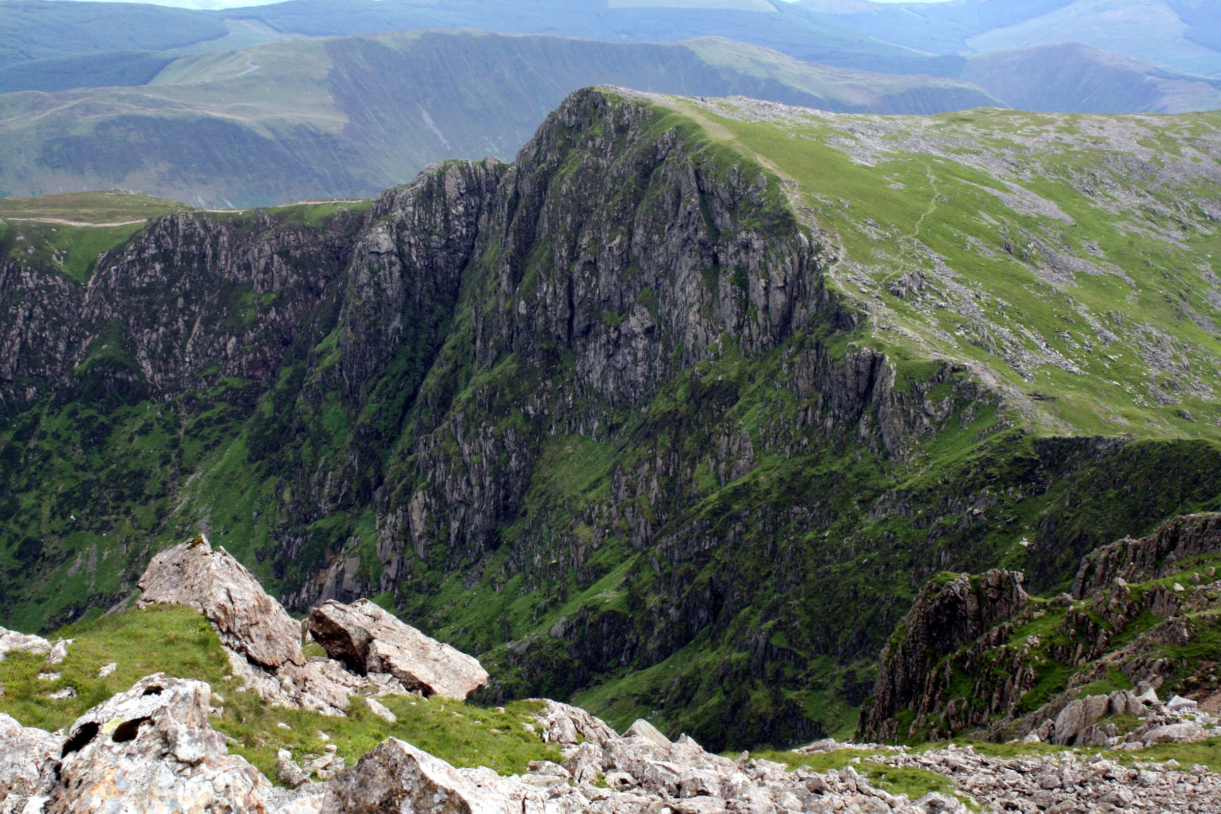
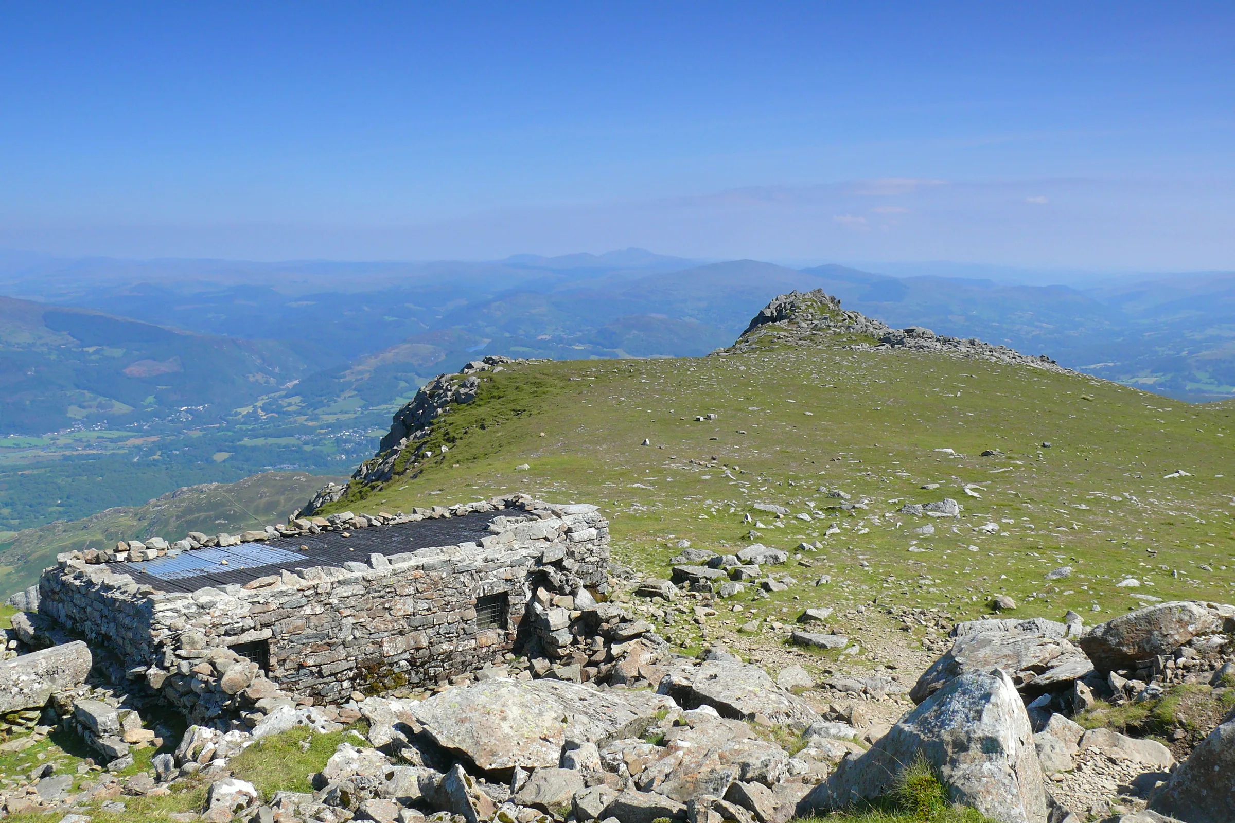
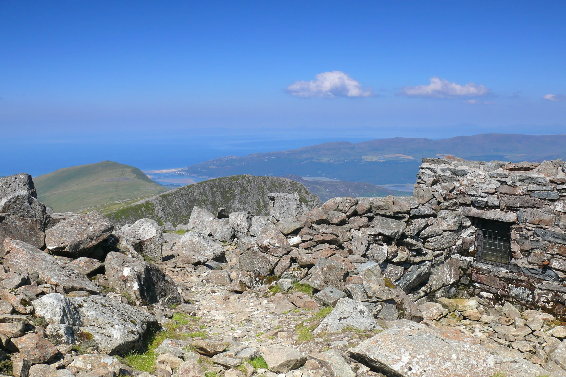
Round the Rim to Penygadair0.7 mi · 169m up · 69m downFollow the path along the cliff edge, dropping to Bwlch Cau, the lowest point of the rim at about 2.7 miles. Keep to the ridge path past the rocky gully known as the Stone Shoot on your right, then climb north to Penygadair (893m), with its trig point and stone shelter, at about 3.2 miles.
- 5
East to Mynydd Moel1.2 mi · 63m up · 98m downHead east from the summit along the northern edge of the mountain, keeping well back from the cliffs on your left. At about 4.2 miles a short there-and-back of under 200m takes you to the top of Mynydd Moel (863m). Return to the path junction just below it.
- 6
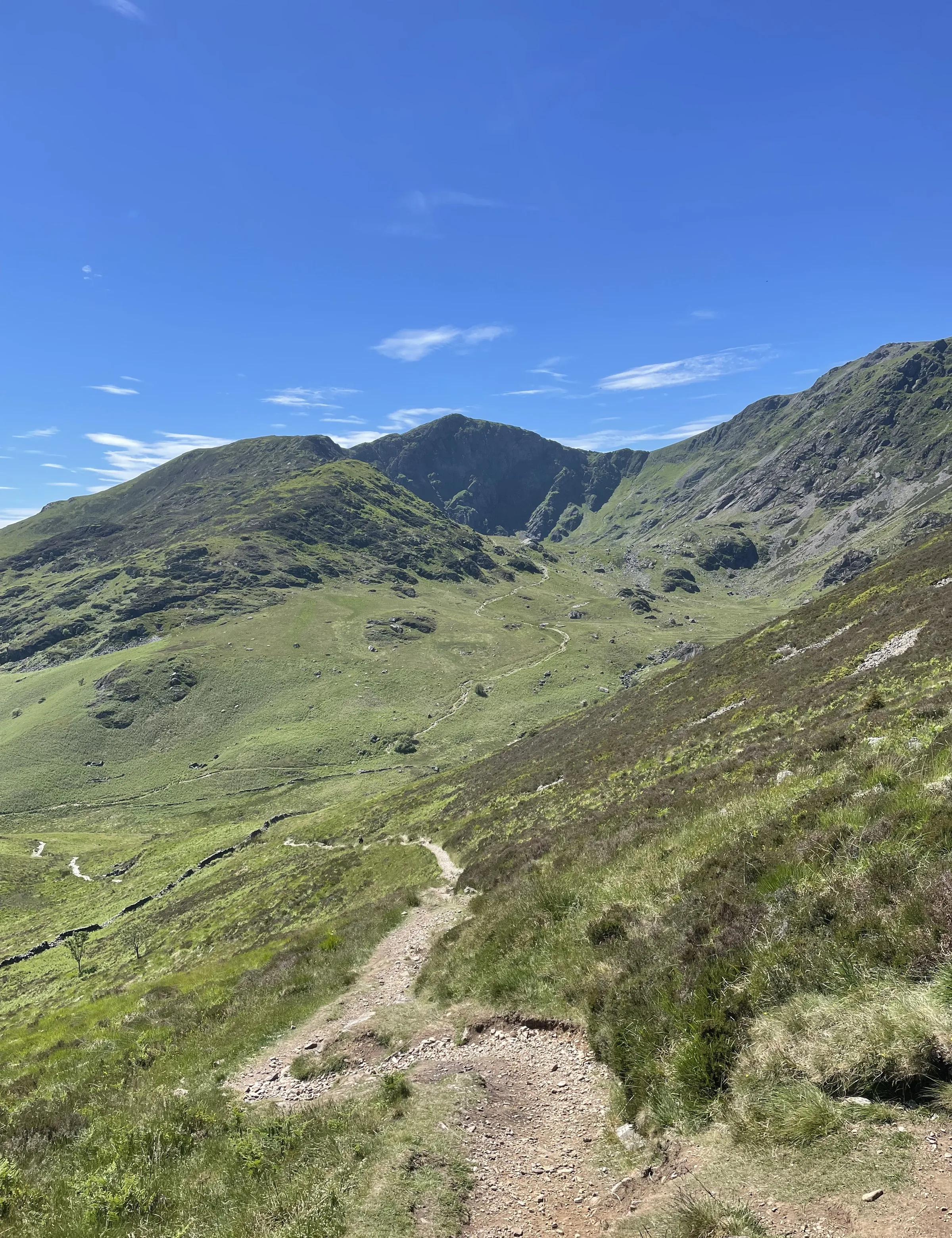
Down the Mynydd Moel Path1.2 mi · 552m downFrom the junction the path heads south and drops steeply, losing about 550m in just over a mile. Lower down it bends south-west and rejoins your outward route at the top of the woods by Nant Cadair.
- 7
Back Through the Woods0.7 mi · 3m up · 198m downRetrace your steps down the stone steps through the woods beside Nant Cadair and back across the parkland to Dôl Idris car park.
Use the route on OS Maps, AllTrails or Komoot to navigate on the day; this guide is for planning.
Parking
The walk starts from Dôl Idris car park on the B4405, just off the A487 at Minffordd (LL36 9AJ, but the postcode covers a wide area, so use the Directions button). It's run by the Snowdonia National Park Authority and costs £5 for up to 4 hours or £8 for the day, so for this walk of 5 to 6 hours you'll need the daily ticket. Payment is by chip and pin or contactless only; cash isn't accepted. There are 3 Blue Badge spaces, EV charging and toilets, and no overnight camping. It can fill up at busy times, so arrive early. Check latest prices here.
*Prices correct at time of writing; check before you travel.
Facilities & Hospitality
Accessible public toilets in Dôl Idris car park, right at the start, managed by the Snowdonia National Park Authority. They're open daily, but not 24 hours, and there are none on the mountain.
A family-run 17th-century country house hotel at the foot of Cadair Idris, a short way from the car park. It has 7 en-suite rooms, a bar and a small restaurant serving food daily, free Wi-Fi in the bar and accepts pets.
Weather
Hike Videos
Note: Videos are made by other walkers, not The Lost Peak. They may not follow this exact route, and paths, conditions and facilities may have changed since filming.
Photo Gallery
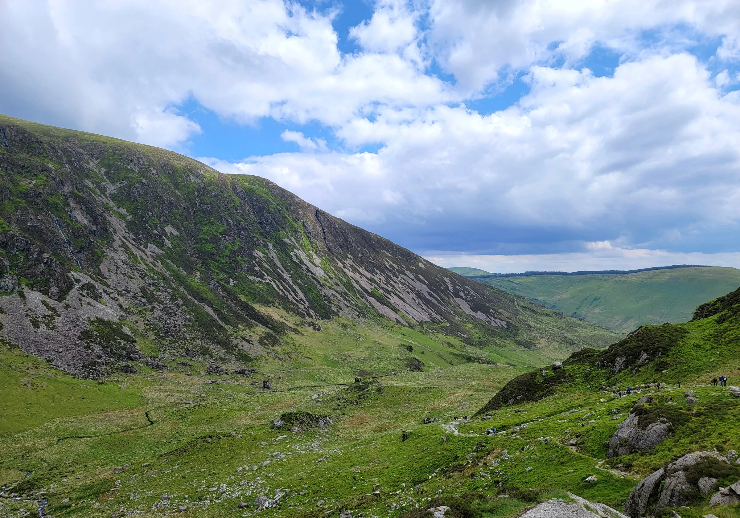
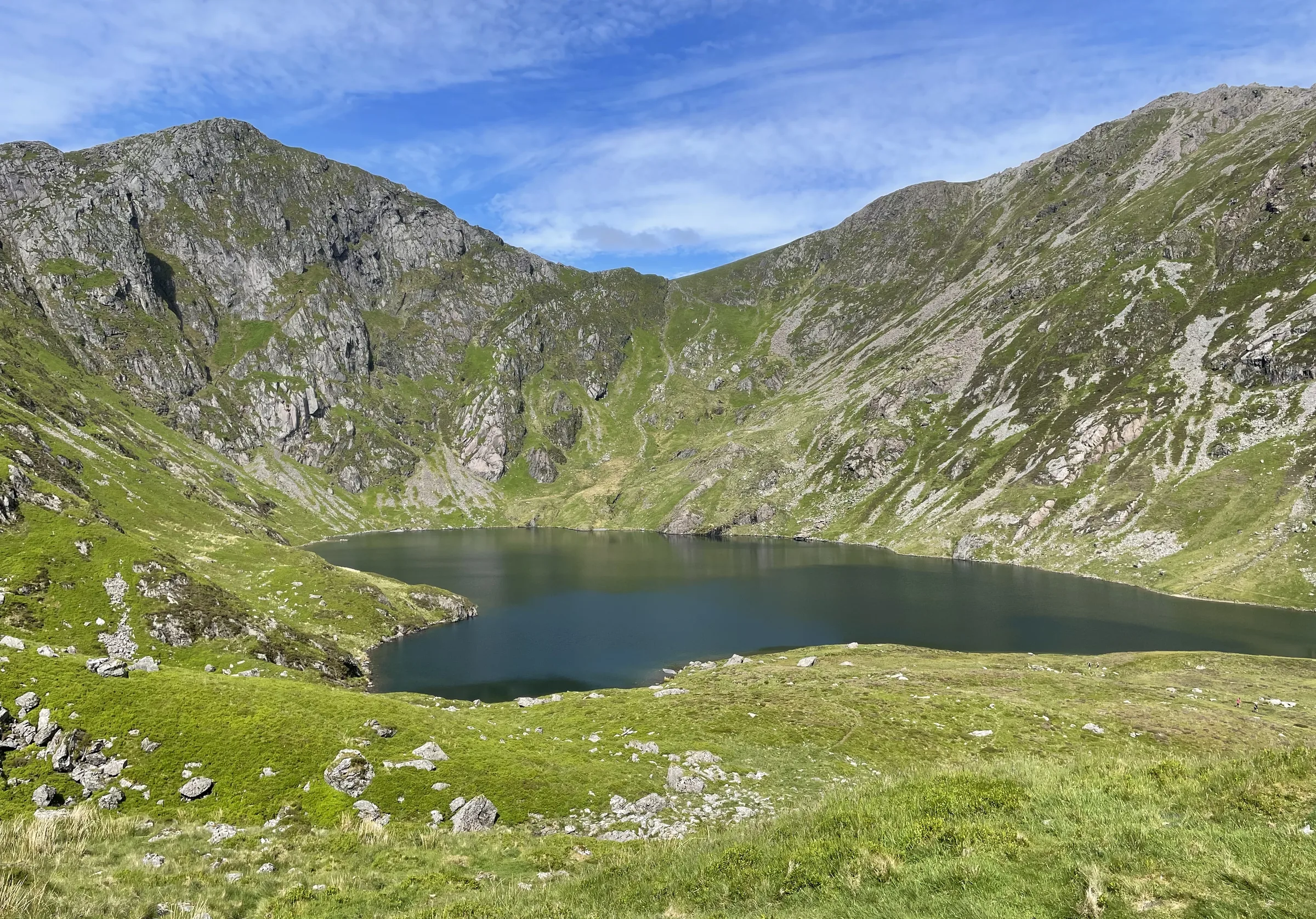
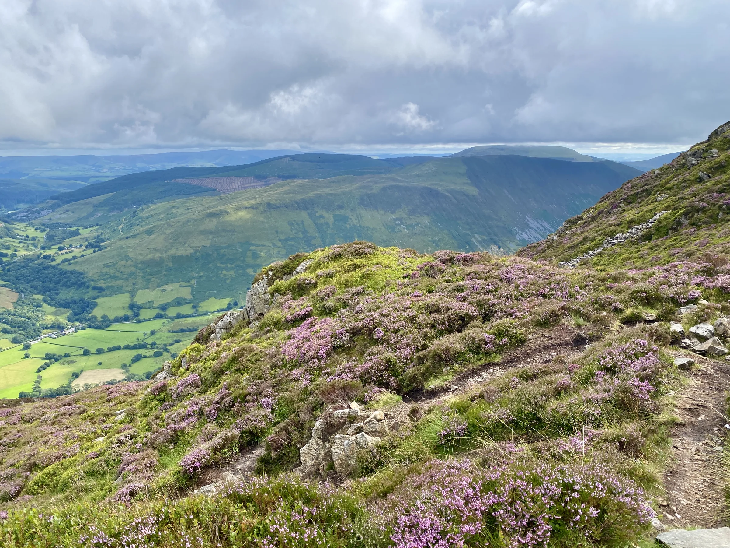
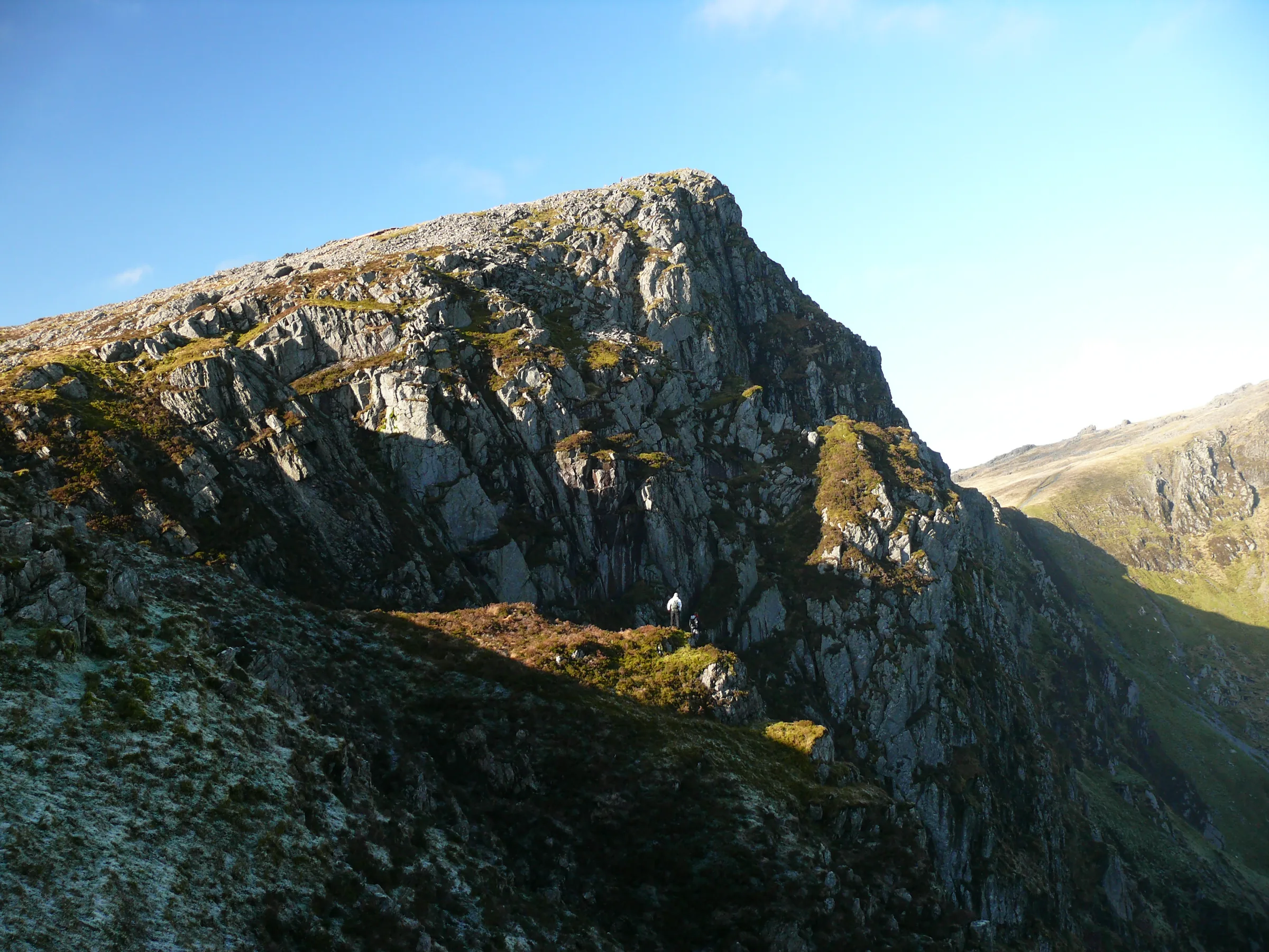
Photos
Photo credits
Photos without a credit are our own. These are used under Creative Commons licences; thank you to the photographers.
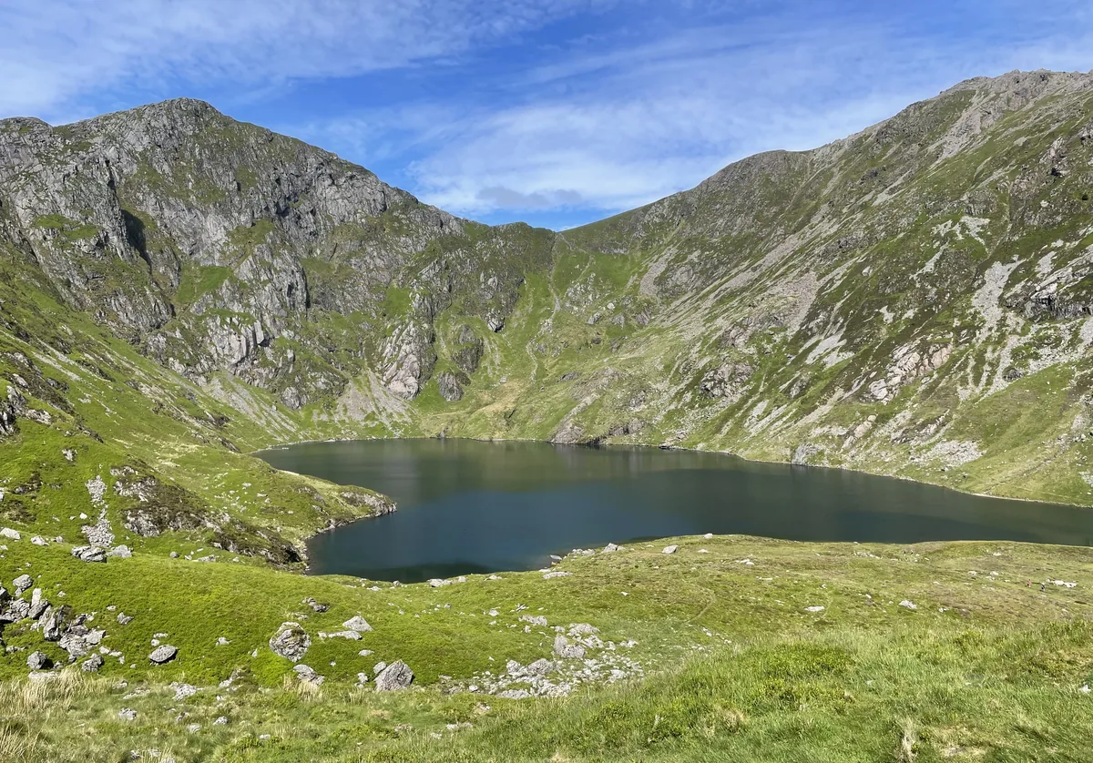 Llyn Cau under the crags of Cadair IdrisHero photo · by Chris Thomas-Atkin, Wikimedia Commons (Geograph)Original photoCC BY-SA 2.0 licence
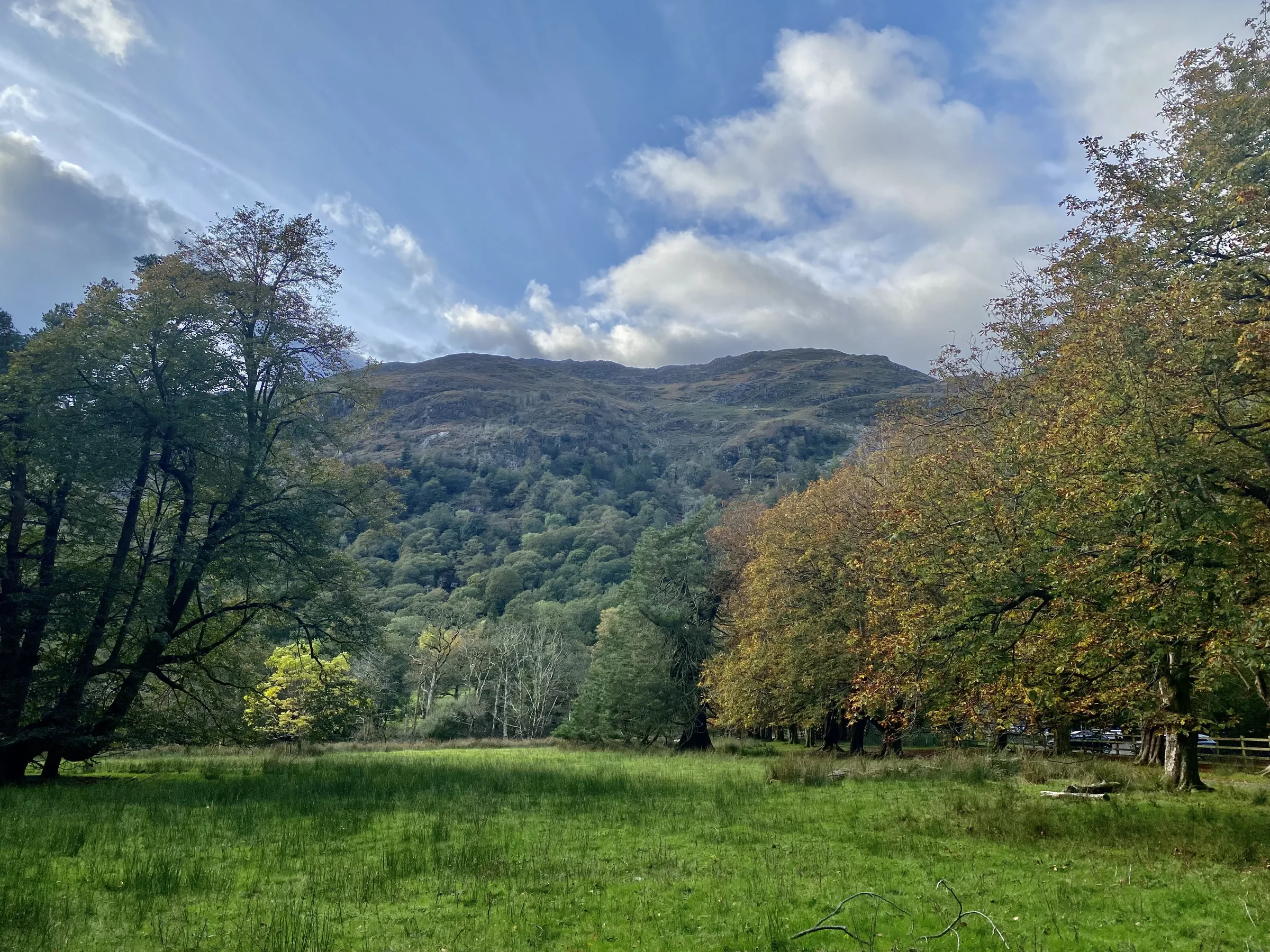
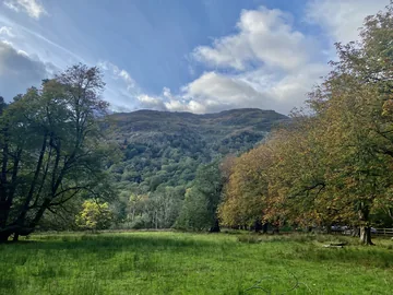 Dôl Idris, Cadair Idris aheadby Alan Hughes, Wikimedia Commons (Geograph)Original photoCC BY-SA 2.0 licence
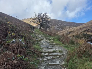 Stone steps beside Nant Cadairby Steven Brown, Wikimedia Commons (Geograph)Original photoCC BY-SA 2.0 licence
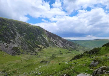 View from the Llyn Cau lookout pointby Jthiggin, Wikimedia CommonsOriginal photoCC BY-SA 4.0 licence
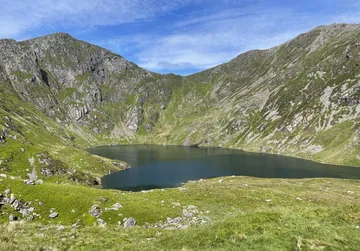 Llyn Cau under its cragsby Chris Thomas-Atkin, Wikimedia Commons (Geograph)Original photoCC BY-SA 2.0 licence
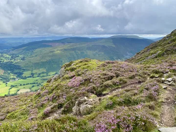 Heather on the climb above Llyn Cauby Alan Hughes, Wikimedia Commons (Geograph)Original photoCC BY-SA 2.0 licence
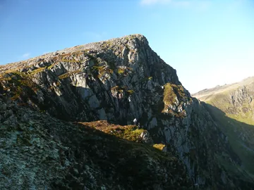
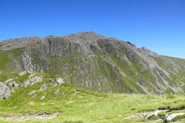 Bwlch Cau, the col below Craig Cauby Ian Medcalf, Wikimedia Commons (Geograph)Original photoCC BY-SA 2.0 licence
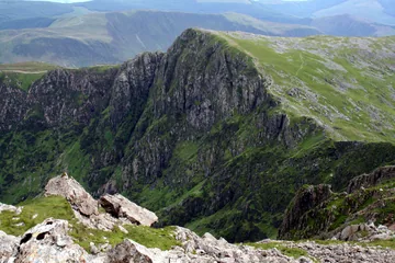
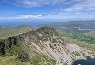 Cyfrwy (The Saddle)by Chris Thomas-Atkin, Wikimedia Commons (Geograph)Original photoCC BY-SA 2.0 licence
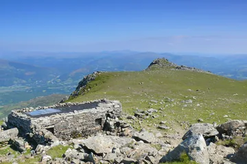 Penygadair summit and shelterby Ian Medcalf, Wikimedia Commons (Geograph)Original photoCC BY-SA 2.0 licence
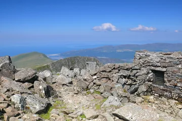 Penygadair summit shelter, sea beyondby Ian Medcalf, Wikimedia Commons (Geograph)Original photoCC BY-SA 2.0 licence
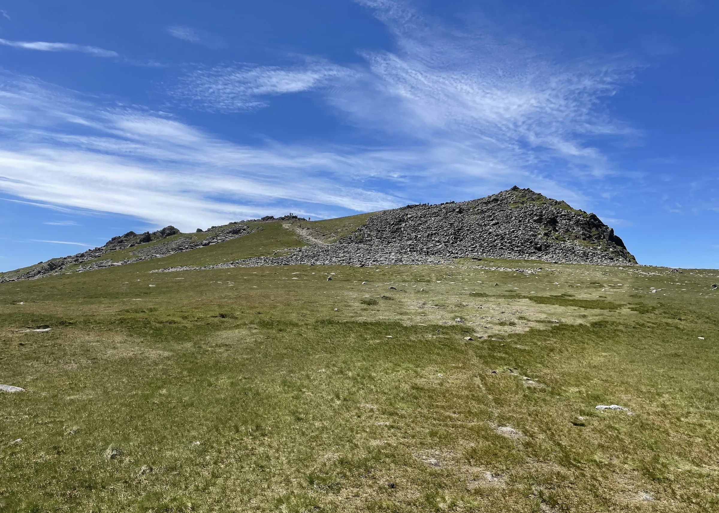
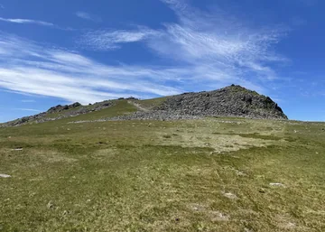 Penygadair summitby Chris Thomas-Atkin, Wikimedia Commons (Geograph)Original photoCC BY-SA 2.0 licence
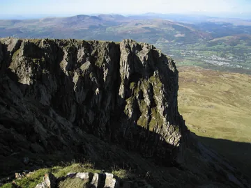 View north from Mynydd Moelby Dave Croker, Wikimedia Commons (Geograph)Original photoCC BY-SA 2.0 licence
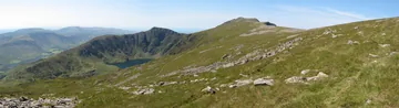 Llyn Cau, Craig Cau and Penygadair from Mynydd Moelby Gareth James, Wikimedia Commons (Geograph)Original photoCC BY-SA 2.0 licence
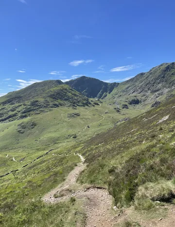 Paths on the descentby Chris Thomas-Atkin, Wikimedia Commons (Geograph)Original photoCC BY-SA 2.0 licence
Hints & Tips
Day Ticket, Card Only
Dôl Idris charges £5 for up to 4 hours and £8 for the day. This loop takes most people 5 to 6 hours, so buy the day ticket, and have a bank card or phone ready: the machines take chip and pin or contactless only, with no cash.
Right Fork for the Lake
About 1.2 miles in, out on the open hillside, the path splits. The left branch climbs straight to the ridge and misses the water. Take the right branch to the shore of Llyn Cau first, then climb to the ridge from there.
Loose Ground to Craig Cau
Between Llyn Cau and the top of Craig Cwm Amarch the path is steep, loose and badly eroded, and the National Park asks for extra care here, especially in winter. Stick to the main line of the path rather than the scars beside it, so the erosion doesn't spread any further.
Avoid the Stone Shoot
On the rim between Craig Cwm Amarch and the summit, a rocky gully known as the Stone Shoot falls away on your right towards Llyn Cau. The National Park describes it as dangerous: it is not a way down, so stay on the ridge path.
Lunch in the Shelter
Right by the trig point on Penygadair is a stone shelter with a roof, looked after by the National Park wardens. There's no café up here, and the shelter is the only real cover on the walk, so it's the best place to stop for lunch out of the wind.
Arrive by Bus
The TrawsCymru T2 bus between Aberystwyth and Bangor stops at Minffordd, close to the start, and also calls at Dolgellau. Come by bus and you skip the parking charge and the hunt for a space on a busy weekend.
Interesting Facts
General
Scree, Trig and Shelter
Penygadair, the main summit, is 893m high. Its top is covered in scree and marked by a trig point, with a low, roofed stone shelter beside it
Not a Volcano
People once claimed Llyn Cau filled the crater of an old volcano. The writer Charles Kingsley put them right in 1872: Cwm Cau was carved by a glacier, even though some of the mountain's rock did start out as lava
Arctic Plants
Much of the area around Cadair Idris became a National Nature Reserve in 1957, and it is home to arctic-alpine plants such as purple saxifrage and dwarf willow
Cadair or Cader?
Cadair is the standard Welsh spelling, but Cader is how it's said locally, and in June 2016 the National Park chose Cader for its signs, against the advice of the Welsh Language Commissioner
The Chair of Idris
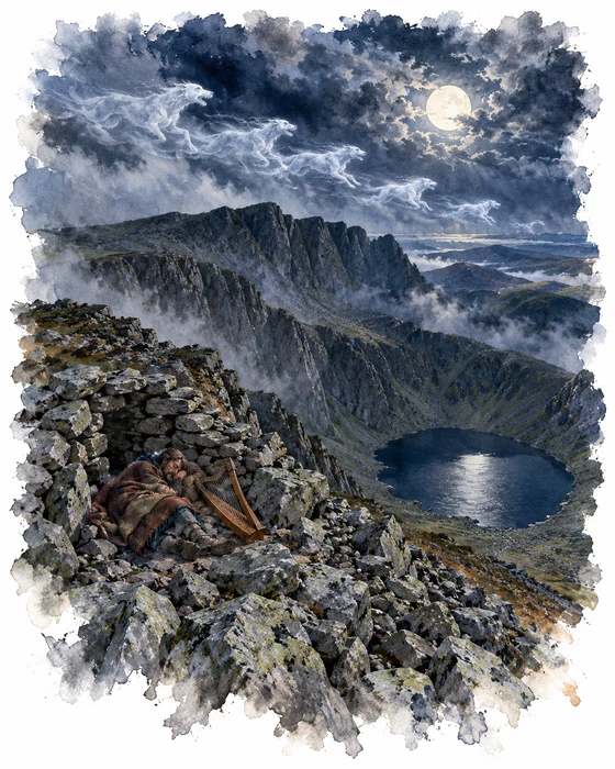
Cadair Idris means "Idris's chair", but nobody is quite sure who Idris was. Most people take him to be a giant, said in legend to be skilled in poetry, astronomy and philosophy. Others link the name to Idris ap Gwyddno, a 7th-century prince of Meirionnydd who is said to have won a battle against the Irish on the mountain, and who appears in some medieval family trees of Meirionnydd as Idris Gawr, Idris the Giant. The name is old: in the 15th century the poet Lewys Glyn Cothi was already writing of travelling over Cadair Idris.
The best-known story about the mountain is that anyone who spends a night alone on its slopes will come down either mad or a poet. It seems to go back to the bards, who would sleep up here in the hope of waking with new verses. Some of the lakes nearby were also said to be bottomless.
Not every night up here was meant to be peaceful. In Welsh mythology Cadair Idris is one of the hunting grounds of Gwyn ap Nudd and his pack of huge hounds, the Cŵn Annwn. To hear them howling meant death was coming, and the pack would sweep up the soul and drive it down to the underworld. One tradition says Gwyn's chief huntsman, Iolo ap Huw, can be found every Halloween cheering the hounds on over Cader Idris, and the Brenin Llwyd is said to haunt the mountain too.
The Painter at Llyn Cau
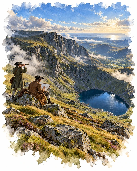
Richard Wilson was born on 1 August 1714 at Penegoes in Montgomeryshire, the son of a clergyman. He went to London in 1729 to train as a portrait painter, later turned to landscapes, spent 1750 to 1757 in Italy, and in 1768 was one of the founder members of the Royal Academy. He is now seen as one of the pioneers of British landscape painting, and alongside his Italian scenes he painted the landscapes of his native Wales.
Wilson was probably the first artist to paint Llyn Cau. He took his view from the slopes of Mynydd Moel, the hill you come down at the end of this walk, about a mile from the lake and some 500 feet above it, with the Dysynni valley to the left and Cardigan Bay in the distance. He didn't copy the scene exactly: the foreground is made up, and he made the cliff of Craig Cau behind the lake taller and more regular to give a simpler, better balanced picture. It was shown at the Royal Academy in 1774 as "A View of Caderidris Mountains in North Wales".
Before the fashion for the sublime, wild scenery like this would probably have looked raw and untidy rather than beautiful. Wilson was one of the first painters to make it work on canvas, and he went on to influence artists including Turner. In 1783 the naturalist Thomas Pennant wrote that Wilson had captured the lake so well that he would not try to describe it himself. The painting was almost certainly still Wilson's when he died; much later Sir Edward Marsh gave it to the National Gallery on VE Day, 8 May 1945, and it moved to the Tate in 1955.
More Hikes
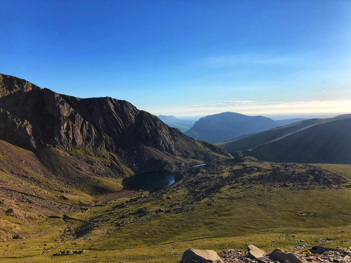 HardSnowdon (Llanberis Path)9.3 mi · 6–7 hrs · 975m
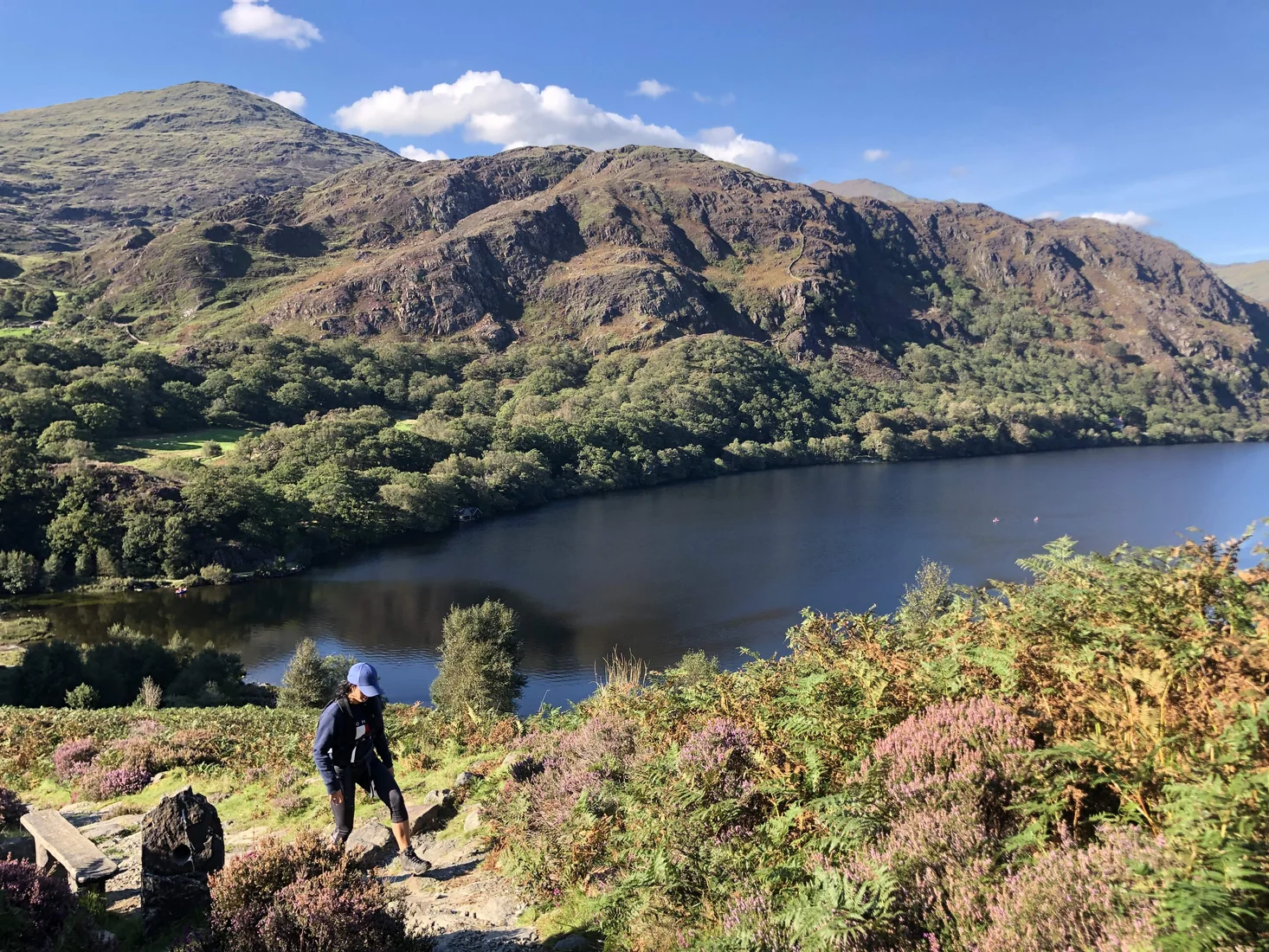 ModerateAberglaslyn & Llyn Dinas5.8 mi · 3–5 hrs · 330m
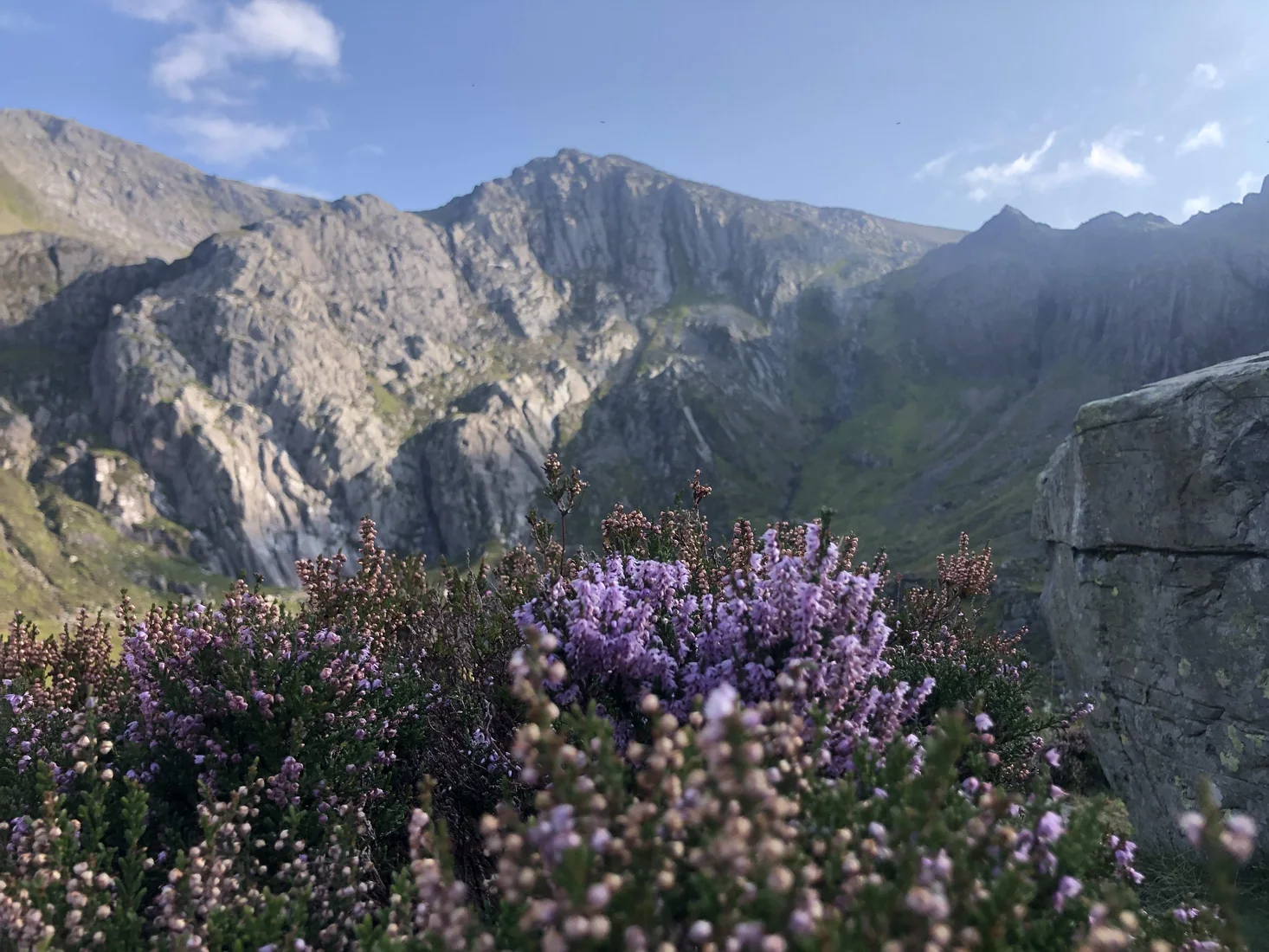 ModerateCwm Idwal3.1 mi · 1.5–2.5 hrs · 240m
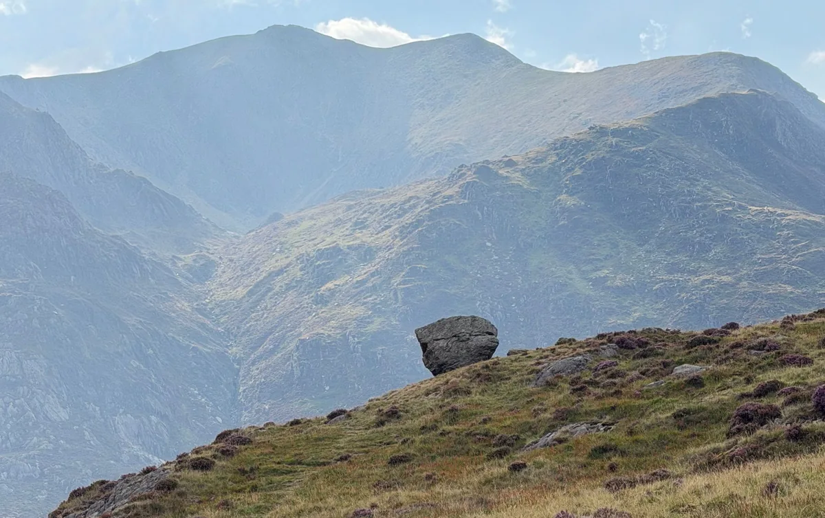 HardMoel Siabod6.2 mi · 4–5 hrs · 730m
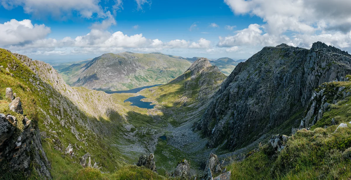 HardGlyder Fawr4.7 mi · 4–5 hrs · 691m
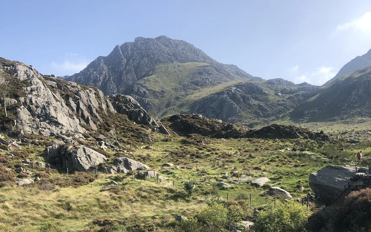 HardTryfan3.5 mi · 3½–4½ hrs · 613m
Subscribe for updates on new hikes and National Parks
One email a month with new hikes and routes. No spam.