


Hill data: The Database of British and Irish Hills v18.6 (CC BY 4.0)Height666.9 m2,188 ft
Grid RefSH 71039 05893
OS MapOL23OS Explorer
AreaCadair Idris
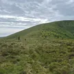
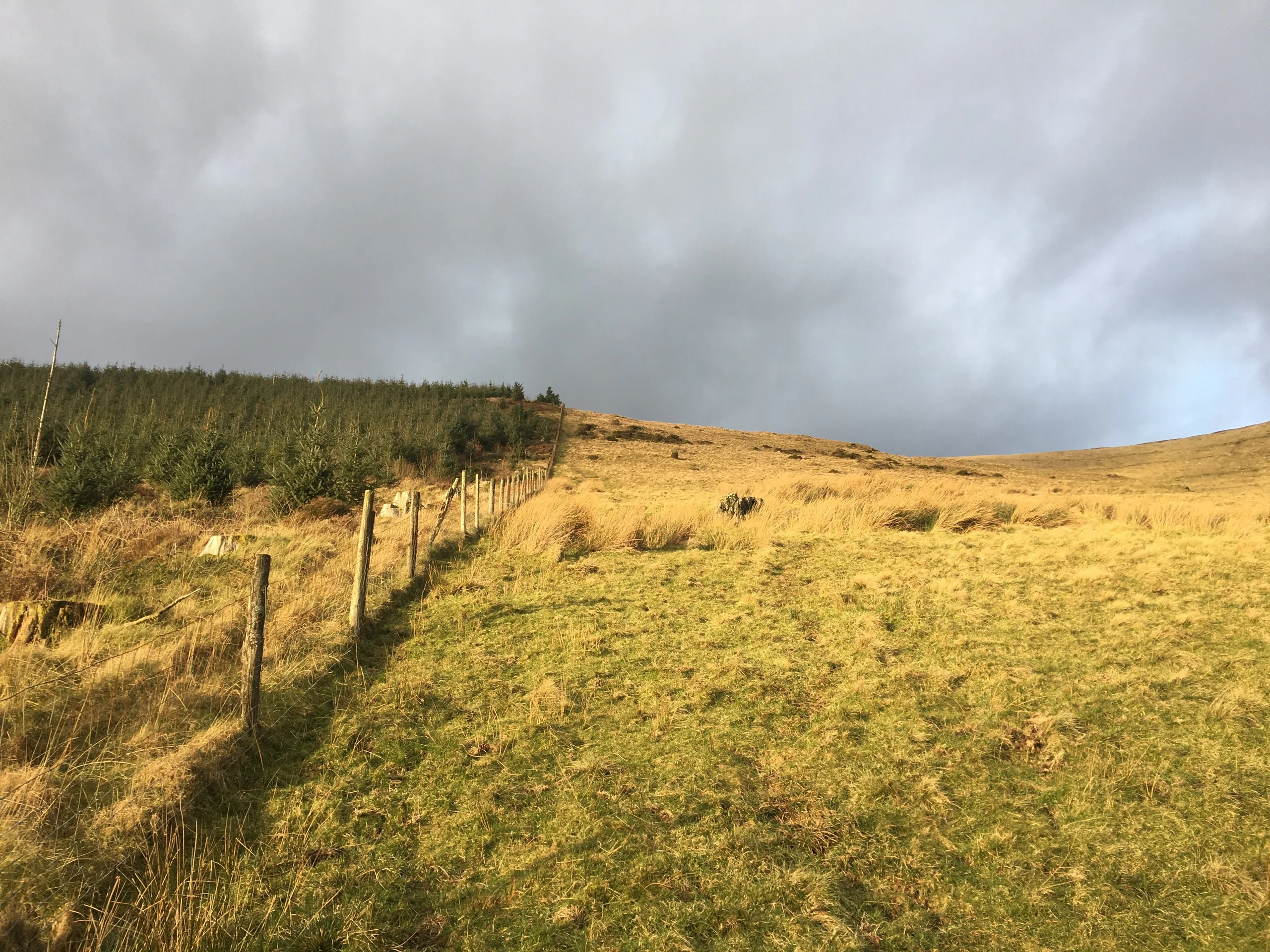
Grassy along its summit ridge, Tarren y Gesail reaches 666.9 m and, with Tarrenhendre 3.2 km away, forms the bulk of the Tarren hills south of Cadair Idris. The ridge carries a cairn and trig point, and views stretch south and east towards Plynlimon and Cardigan Bay. Between the two Tarrens lie the Bryn Eglwys quarry and Nant Gwernol station on the Talyllyn Railway.
New to the Pennants?Read our guide: What Are The Welsh Pennants?Rock & Ground
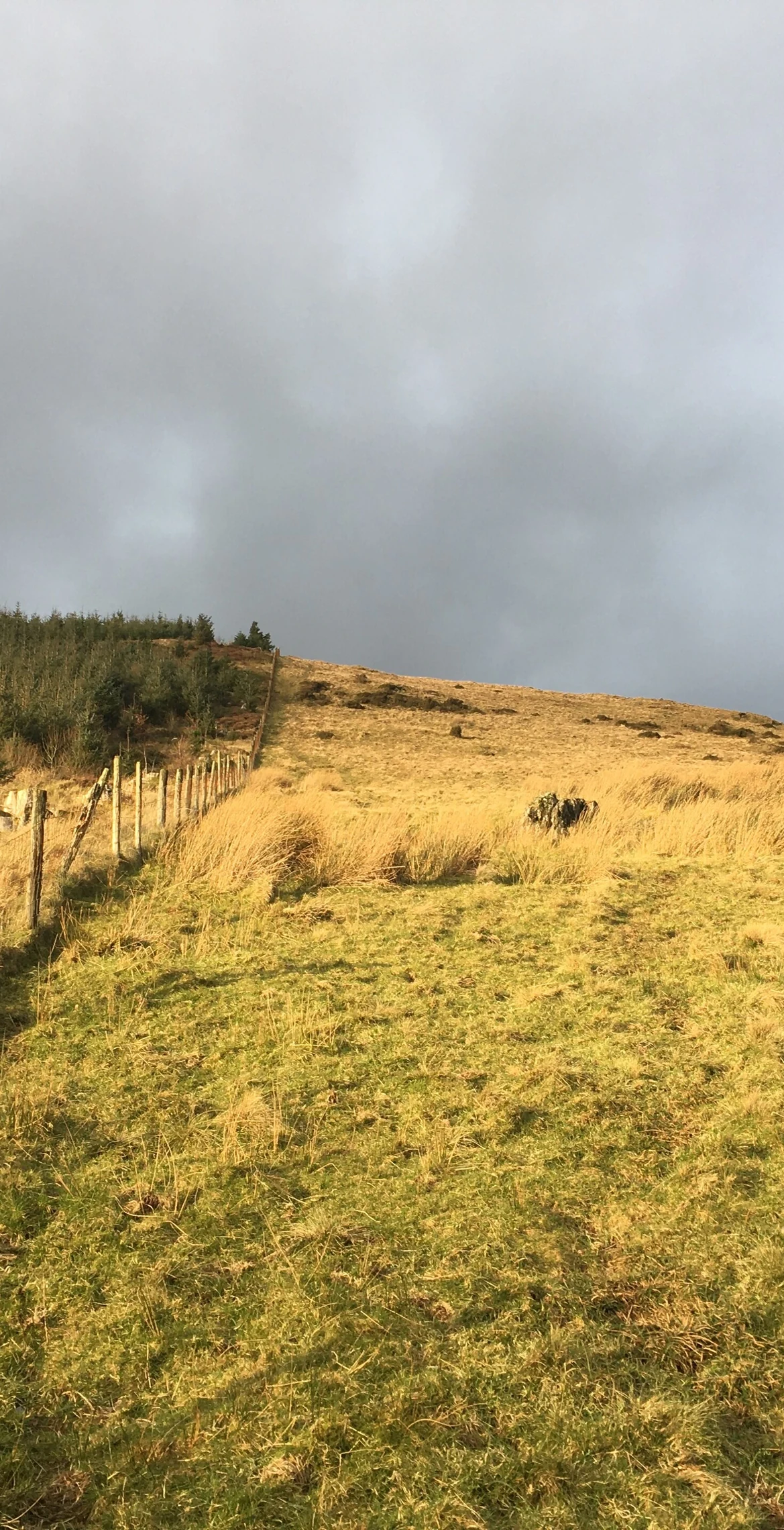
The summit is a grassy ridge.
Summit Weather
Our Route
Distance10.0 mi16.0 km
Ascent940 m3,080 ft
Time5h 30mwalking
Start & FinishSH 6775 0694Circular route, back to the same spot
DirectionsAlso on this route: Tarrenhendre
Safety: Routes are a guide only. Carry a map and compass and know how to use them, check the weather before you go, and turn back if in doubt. You use this route at your own risk.