


Hill data: The Database of British and Irish Hills v18.6 (CC BY 4.0)Height670 m2,198 ft
Grid RefSH 78556 14785
OS MapOL23OS Explorer
AreaCadair Idris
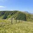
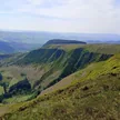
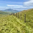
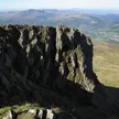
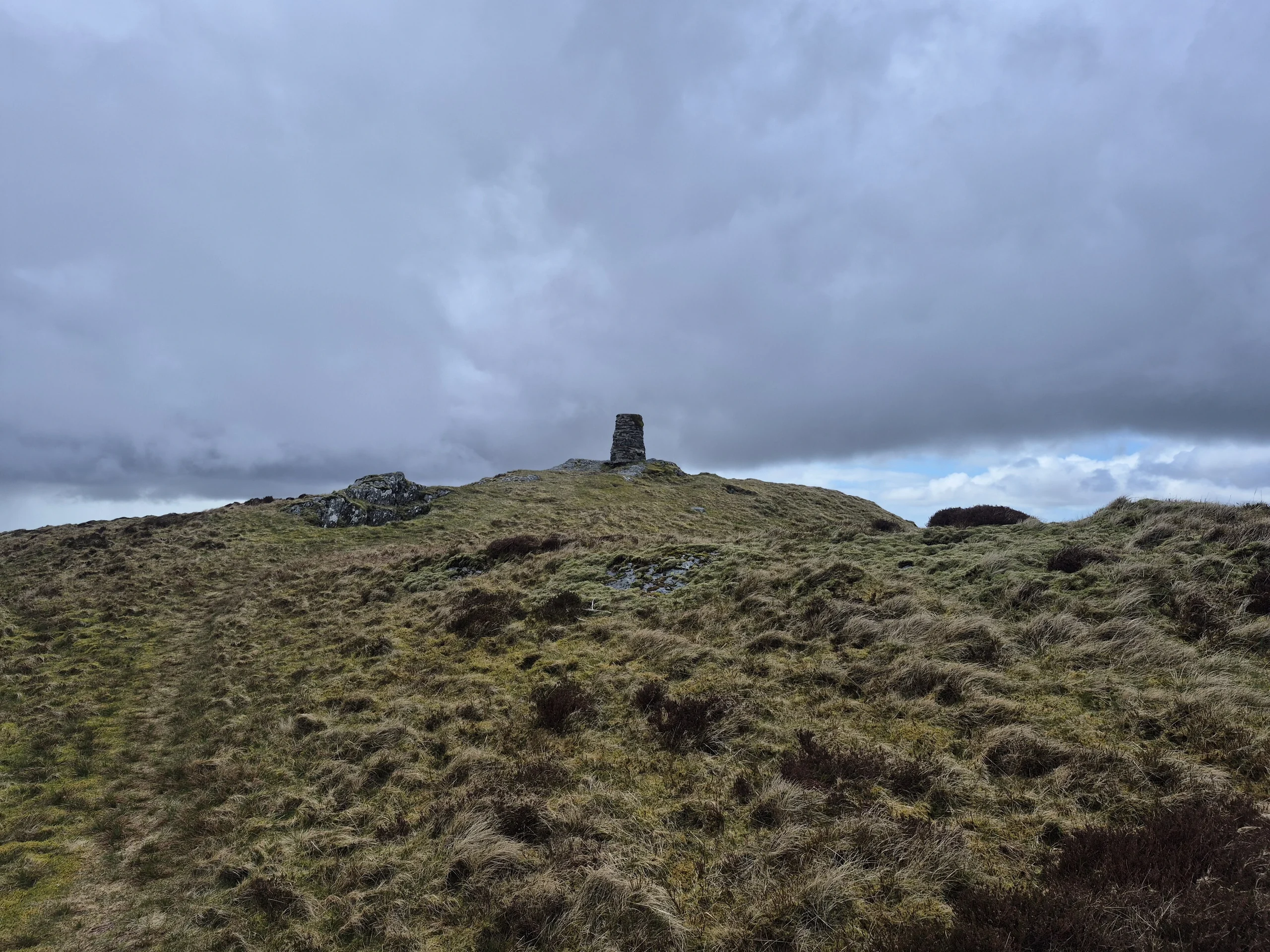
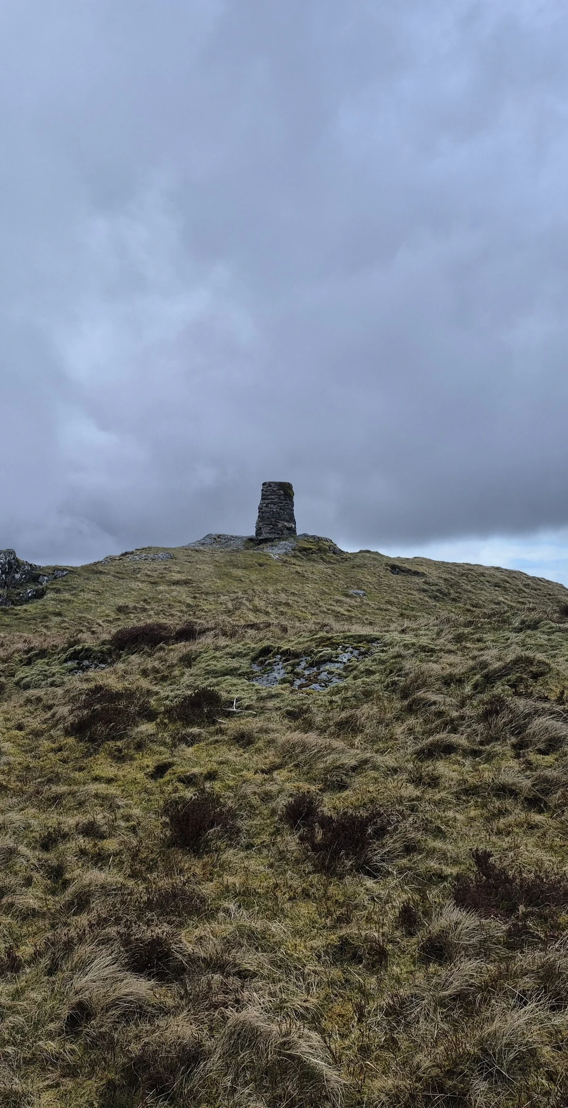
In the Dyfi hills, a subgroup of the Cadair Idris group, Waun-oer rises to 670 m about four miles south-west of Aran Fawddwy. A trig point crowns its uneven grassy plateau, with the highest rock within a metre of it. The hill connects to Cribin Fawr, 1.0 km to the east, and to Mynydd Ceiswyn to the south, with Cadair Idris to the north.
New to the Pennants?Read our guide: What Are The Welsh Pennants?Rock & Ground
The summit is an uneven grassy plateau.
Summit Weather
Our Route
Distance14.8 mi23.9 km
Ascent1,520 m4,990 ft
Time8h 25mwalking
Start & FinishSH 8023 1704Circular route, back to the same spot
DirectionsAlso on this route: Glasgwm, Pen y Brynfforchog, Maesglase, Cribin Fawr
Safety: Routes are a guide only. Carry a map and compass and know how to use them, check the weather before you go, and turn back if in doubt. You use this route at your own risk.