


Hill data: The Database of British and Irish Hills v18.6 (CC BY 4.0)Height629 m2,064 ft
Grid RefSH 70276 23029
OS MapOL18OS Explorer
AreaThe Rhinogs
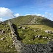
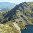
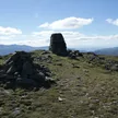
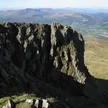
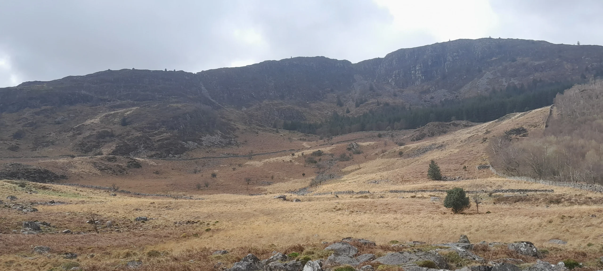
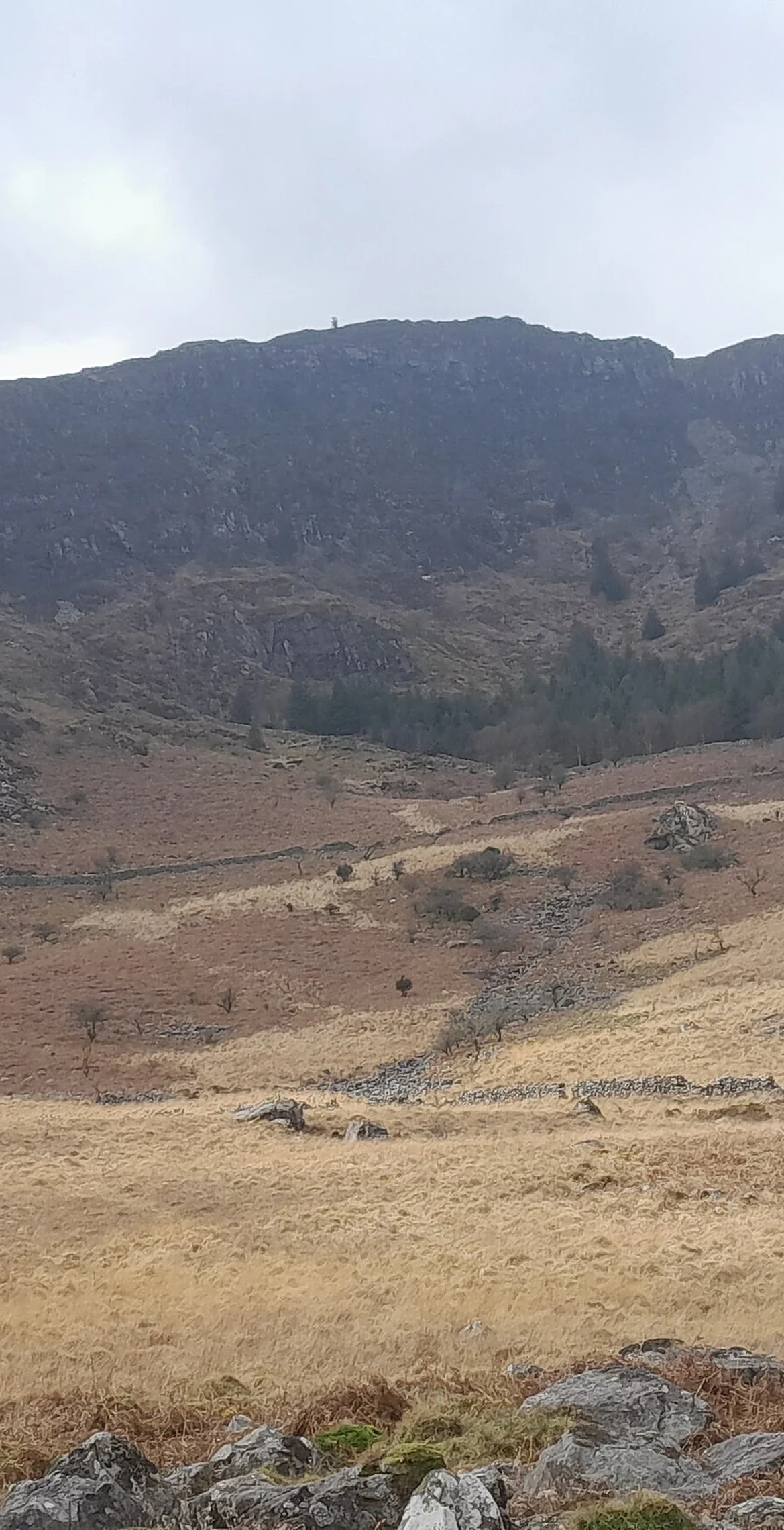
Y Garn reaches 629 m in the Rhinogs, its summit marked by a cairn. It has a drop of 317 m, and the nearest hills on the list are Diffwys (4.2 km), Y Llethr (5.0 km) and Rhinog Fach (5.5 km).
New to the Pennants?Read our guide: What Are The Welsh Pennants?Summit Weather
Our Route
Distance4.7 mi7.5 km
Ascent430 m1,410 ft
Time2h 35mwalking
StartSH 6979 2006Grid reference of the start
DirectionsSafety: Routes are a guide only. Carry a map and compass and know how to use them, check the weather before you go, and turn back if in doubt. You use this route at your own risk.