


Hill data: The Database of British and Irish Hills v18.6 (CC BY 4.0)Height756 m2,480 ft
Grid RefSH 66137 25777
OS MapOL18OS Explorer
AreaThe Rhinogs
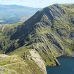
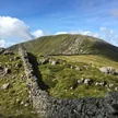
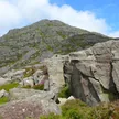
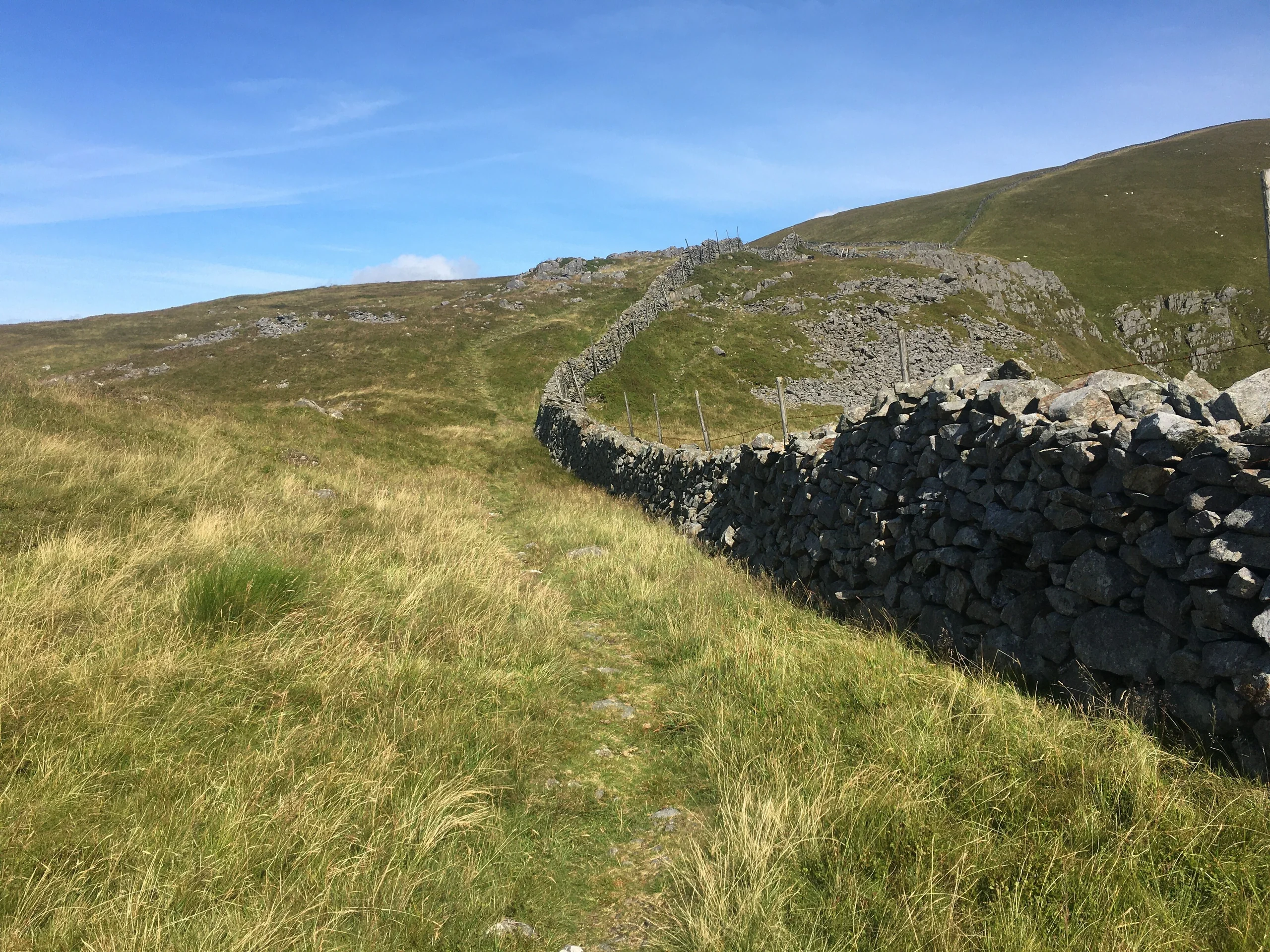
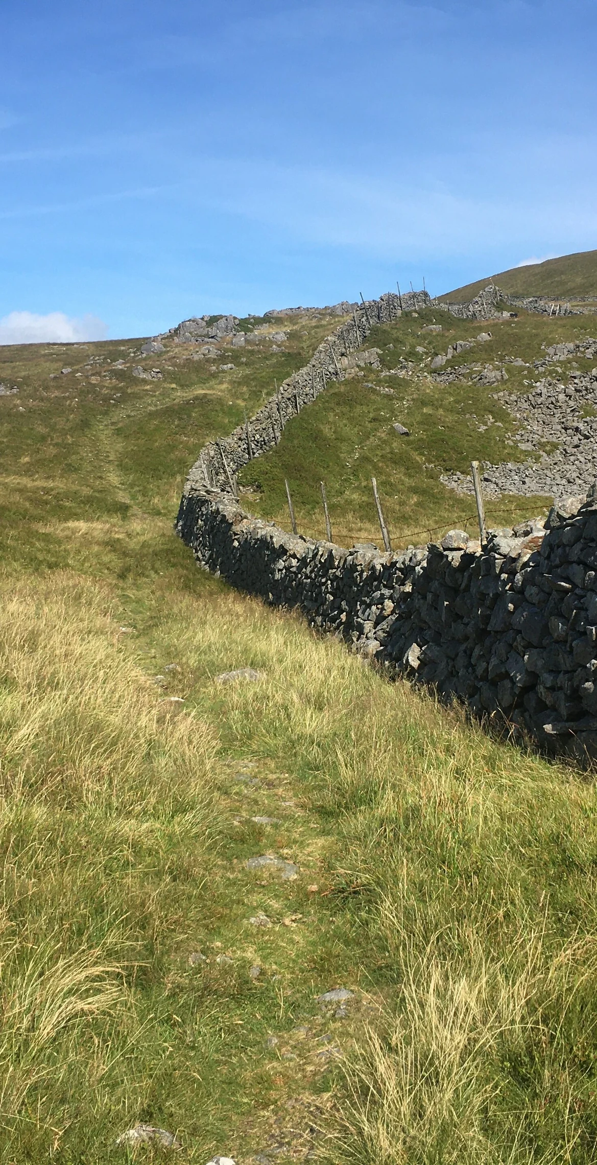
Despite being the highest of the Rhinogydd at 756 m, Y Llethr has a flat, grassy top, with the highest ground near a slight bend in a wall. The summit is more in keeping with its southern flanks than with its rugged northern approach. The shortest route comes from Cwm Nantcol to the west, either directly or via Bwlch Drws Ardudwy and over Rhinog Fach, 1.3 km away.
New to the Pennants?Read our guide: What Are The Welsh Pennants?Rock & Ground
A flat, grassy summit, more like its southern flanks than the rugged northern approach.
Summit Weather
Our Route
Distance11.0 mi17.7 km
Ascent1,410 m4,630 ft
Time6h 40mwalking
Start & FinishSH 6739 2864Circular route, back to the same spot
DirectionsAlso on this route: Diffwys, Rhinog Fawr, Rhinog Fach
Safety: Routes are a guide only. Carry a map and compass and know how to use them, check the weather before you go, and turn back if in doubt. You use this route at your own risk.