


Hill data: The Database of British and Irish Hills v18.6 (CC BY 4.0)Height734 m2,408 ft
Grid RefSH 78683 25668
OS MapOL23OS Explorer
AreaThe Arenigs
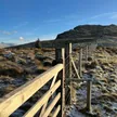
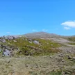
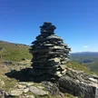
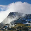
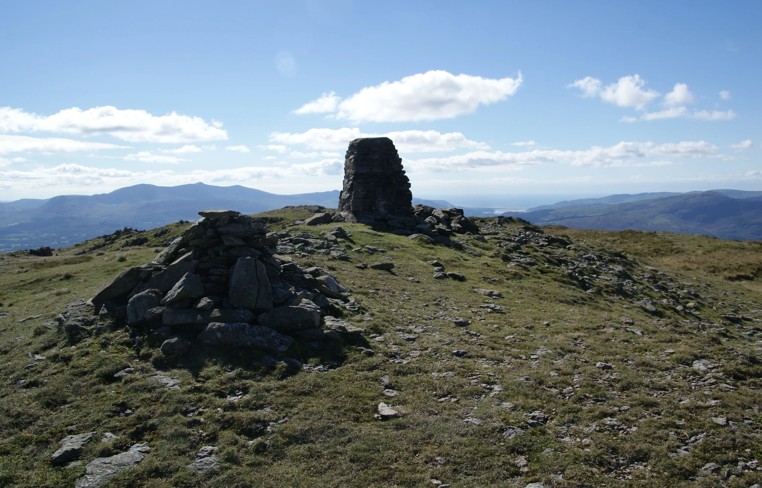
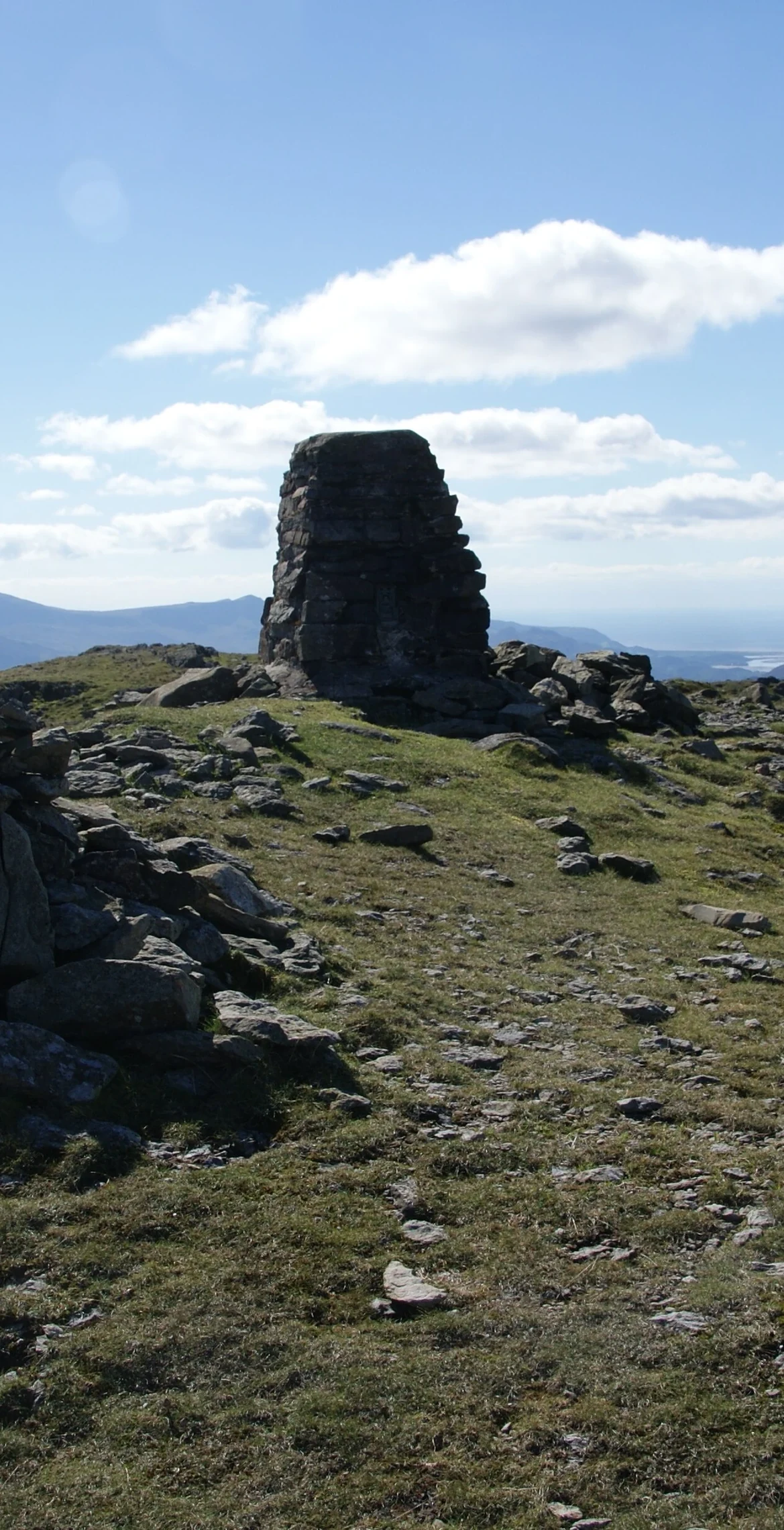
Once a volcano, active in the Early Ordovician, Rhobell Fawr is a 734 m mountain in the Arenigs topped by a trig point. Despite its modest height there are views of higher peaks all around, including the north face of Cadair Idris and distant Snowdon. Paths are not well trodden, but a distinct one climbs from Bwlch Goriwared, a couple of miles north-north-east of Llanfachreth.
New to the Pennants?Read our guide: What Are The Welsh Pennants?Summit Weather
Our Route
Distance10.6 mi17.1 km
Ascent860 m2,820 ft
Time5h 40mwalking
Start & FinishSH 8052 2209Circular route, back to the same spot
DirectionsAlso on this route: Dduallt
Safety: Routes are a guide only. Carry a map and compass and know how to use them, check the weather before you go, and turn back if in doubt. You use this route at your own risk.