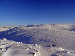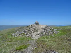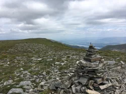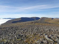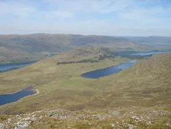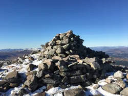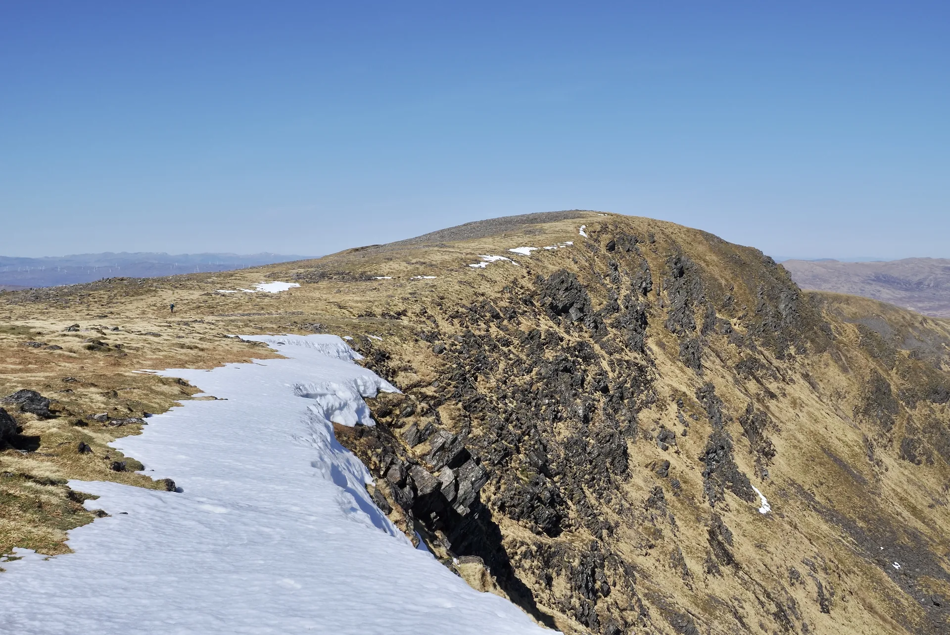


Beinn a' Chaorainn means 'mountain of the rowan tree'. Its summit ridge is about 1.5 km long with three high points, and the middle one, topped by a cairn, only became the official summit after a resurvey in 1974. The east side is the hill's best feature, with crags around Coire na h-Uamha, and the ridge is known for cornices in winter that have caused serious falls. From the top there's a good view of the Munros around Loch Treig.
New to the Munros?Read our guide: What Are The Munros?Cairn
North-south ridge with craggy eastern corries, very steep western flanks and forested lower slopes.
MarilynSimm
Summit Weather
Our Route
No path for 11.7 kmAbout 11.7 km of this route has no path on the map (longest stretch 3.9 km). Expect rough, pathless ground. You will need a map and compass and the skills to use them.
Also on this route: Beinn Teallach
Safety: Routes are a guide only. Carry a map and compass and know how to use them, check the weather before you go, and turn back if in doubt. You use this route at your own risk.