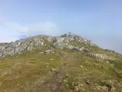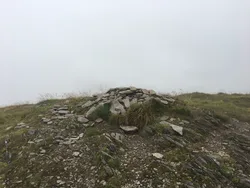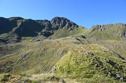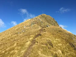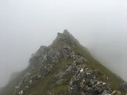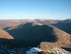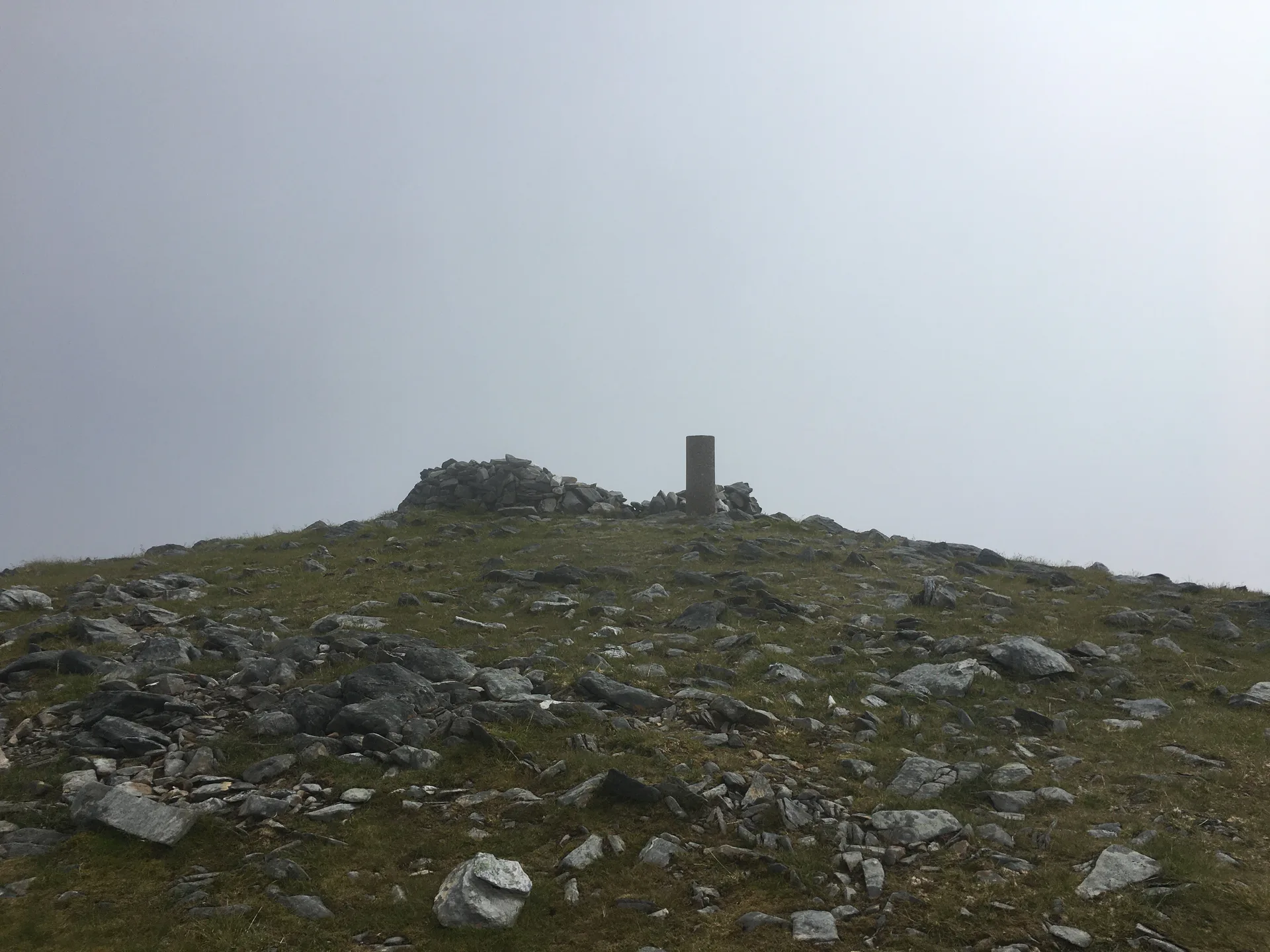


Beinn Fhada, also called Ben Attow, means 'long mountain', and it stretches a long way across Kintail between Gleann Lichd and Gleann Choinneachain. Its summit, marked by a trig point, sits at the edge of the Plaide Mor, a broad tableland thought to be the biggest surviving patch of pre-glacial land surface in the western Highlands. The south-west slopes above Gleann Lichd are split by deep trenches, part of the largest rock slope failure in the Highlands.
New to the Munros?Read our guide: What Are The Munros?Trig point
High, flat plateau of ancient land surface, with a craggy ridge and slipping, trenched slopes above Gleann Lichd.
MarilynSimm
Summit Weather
Our Route
Also on this route: A' Ghlas-bheinn
Safety: Routes are a guide only. Carry a map and compass and know how to use them, check the weather before you go, and turn back if in doubt. You use this route at your own risk.