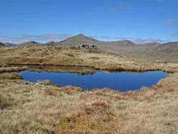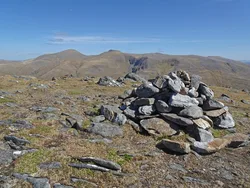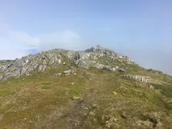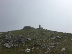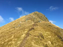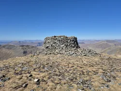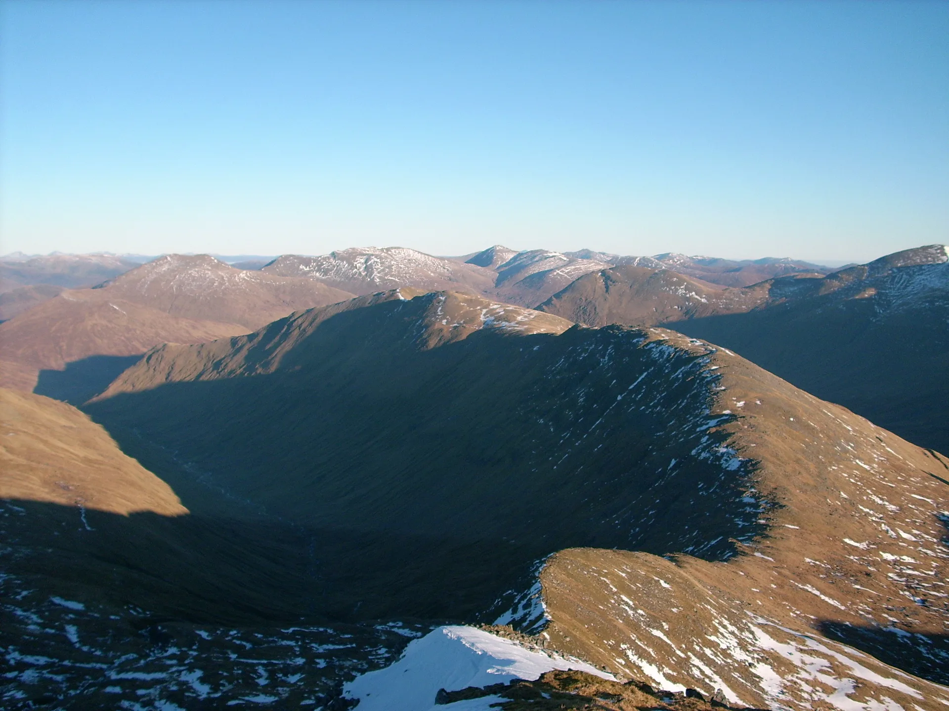


Sgùrr nan Ceathreamhnan is a huge, remote mountain at the head of Glen Affric, its long ridges spreading over about 62 square km. The name means 'peak of the quarters', after the land those ridges divide. A cairn marks the main summit, and a curving ridge with a little scrambling leads to a western top about 500 m away. On a clear day, binoculars can pick out Inverness and the Kessock Bridge more than 70 km to the east.
New to the Munros?Read our guide: What Are The Munros?Cairn
Tent-shaped mountain of long ridges, with twin tops linked by a narrow, curving crest.
MarilynSimm
Summit Weather
Our Route
Also on this route: Mullach na Dheiragain, An Socach (Glen Affric)
Safety: Routes are a guide only. Carry a map and compass and know how to use them, check the weather before you go, and turn back if in doubt. You use this route at your own risk.