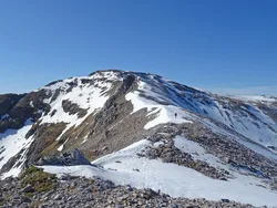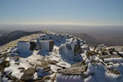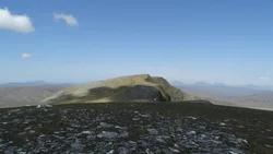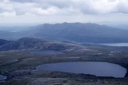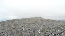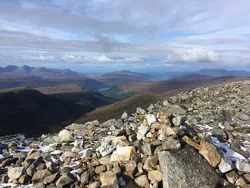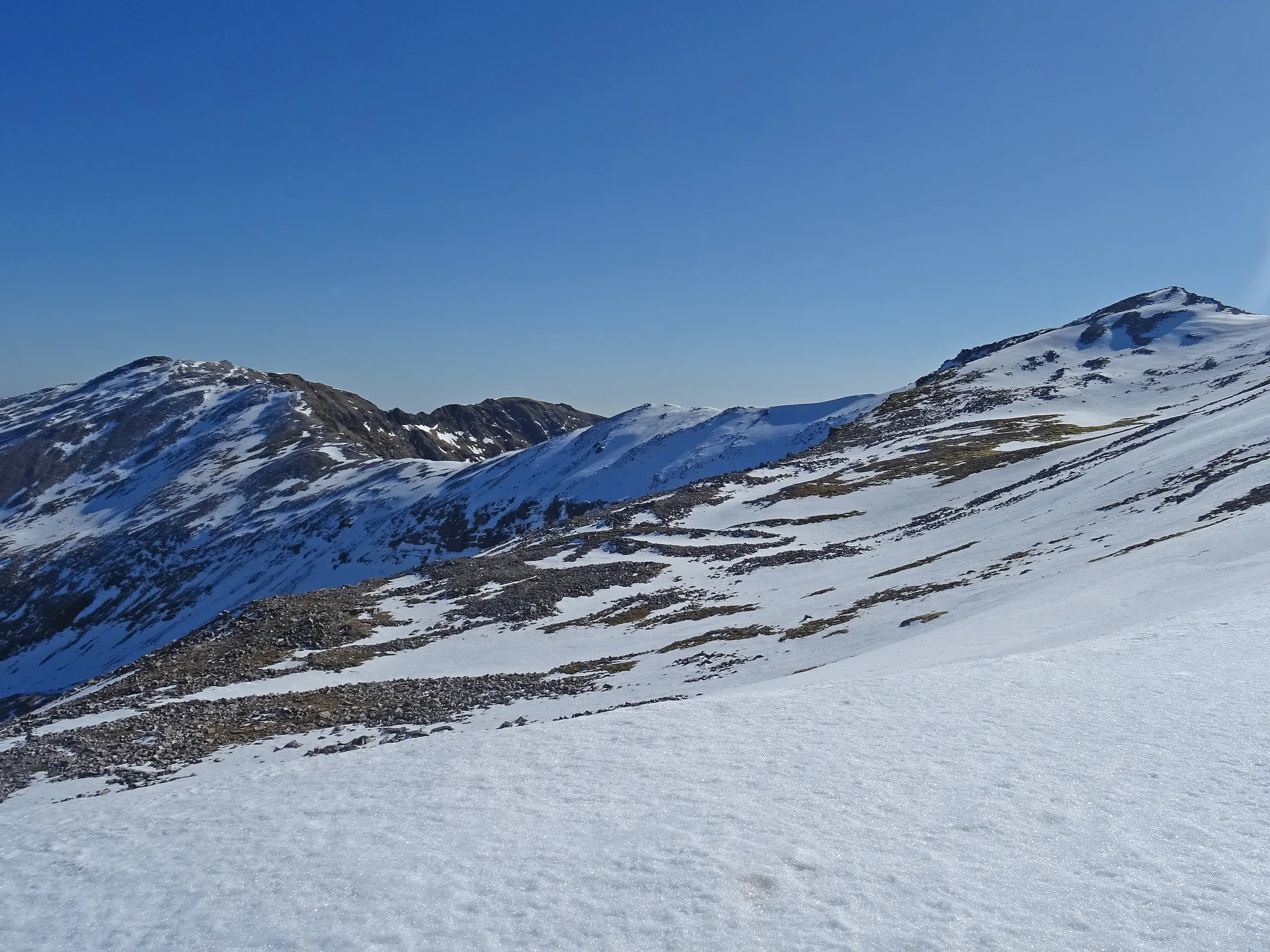


Conival's Gaelic name, Conmheall, probably means 'adjoining hill' or 'hill of meeting', fitting for a peak joined so closely to Ben More Assynt. Its crumbling quartzite top has a large round wind shelter around the stump of an old trig point, and the view west takes in Quinag, Canisp and Cul Mor and looks straight down Loch Assynt. On the walk in from Inchnadamph you pass the Cnoc nan Uamh caves, where people left traces around 6000 BC.
New to the Munros?Read our guide: What Are The Munros?Shelter
Pale Cambrian quartzite scree above limestone, sitting on the exposed Moine Thrust Belt.
HuMPSimm
Summit Weather
Our Route
Also on this route: Ben More Assynt
Safety: Routes are a guide only. Carry a map and compass and know how to use them, check the weather before you go, and turn back if in doubt. You use this route at your own risk.