


Hill data: The Database of British and Irish Hills v18.6 (CC BY 4.0)Height679 m2,228 ft
Grid RefSO 25819 29417
OS MapOL13OS Explorer
AreaBlack Mountains
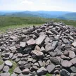
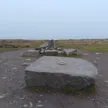
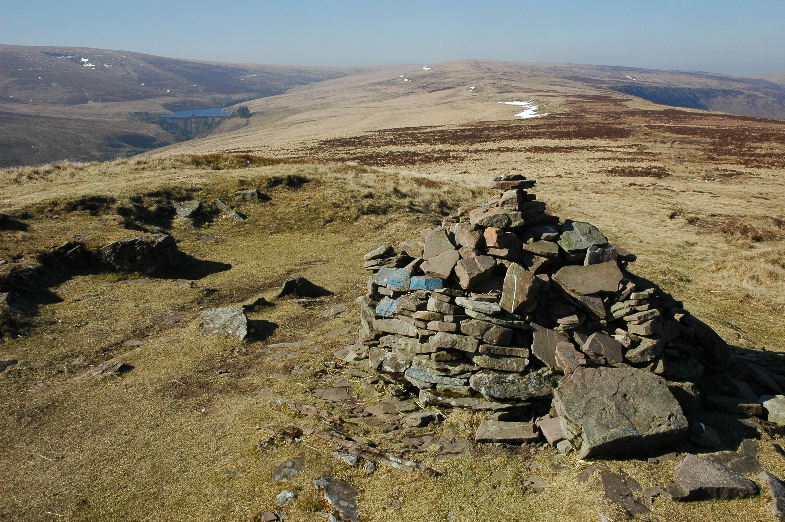
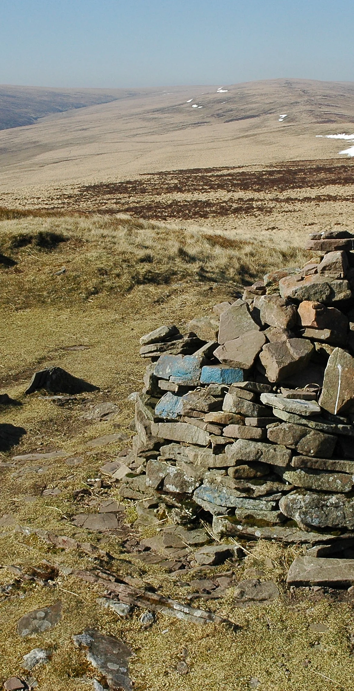
Monmouthshire's highest point, in both the historic county and the current council area, is this 679 m peak in the Black Mountains. Chwarel y Fan is the highest rise on the long ridge running south-east from Rhos Dirion, and its summit sits on a thin ridge crowned by a cairn. Farther south-east the ridge continues to Bal-Mawr, topped by a trig point, and on to Bal-Bach.
New to the Pennants?Read our guide: What Are The Welsh Pennants?Summit Weather
Our Route
Distance11.1 mi17.8 km
Ascent1,160 m3,810 ft
Time6h 25mwalking
Start & FinishSO 2525 2846Circular route, back to the same spot
DirectionsAlso on this route: Waun Fach, Pen y Gadair Fawr, Mynydd Llysiau
Safety: Routes are a guide only. Carry a map and compass and know how to use them, check the weather before you go, and turn back if in doubt. You use this route at your own risk.