


Hill data: The Database of British and Irish Hills v18.6 (CC BY 4.0)Height662.8 m2,175 ft
Grid RefSH 81057 27372
OS MapOL23OS Explorer
AreaThe Arenigs
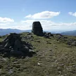
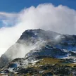
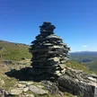
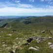
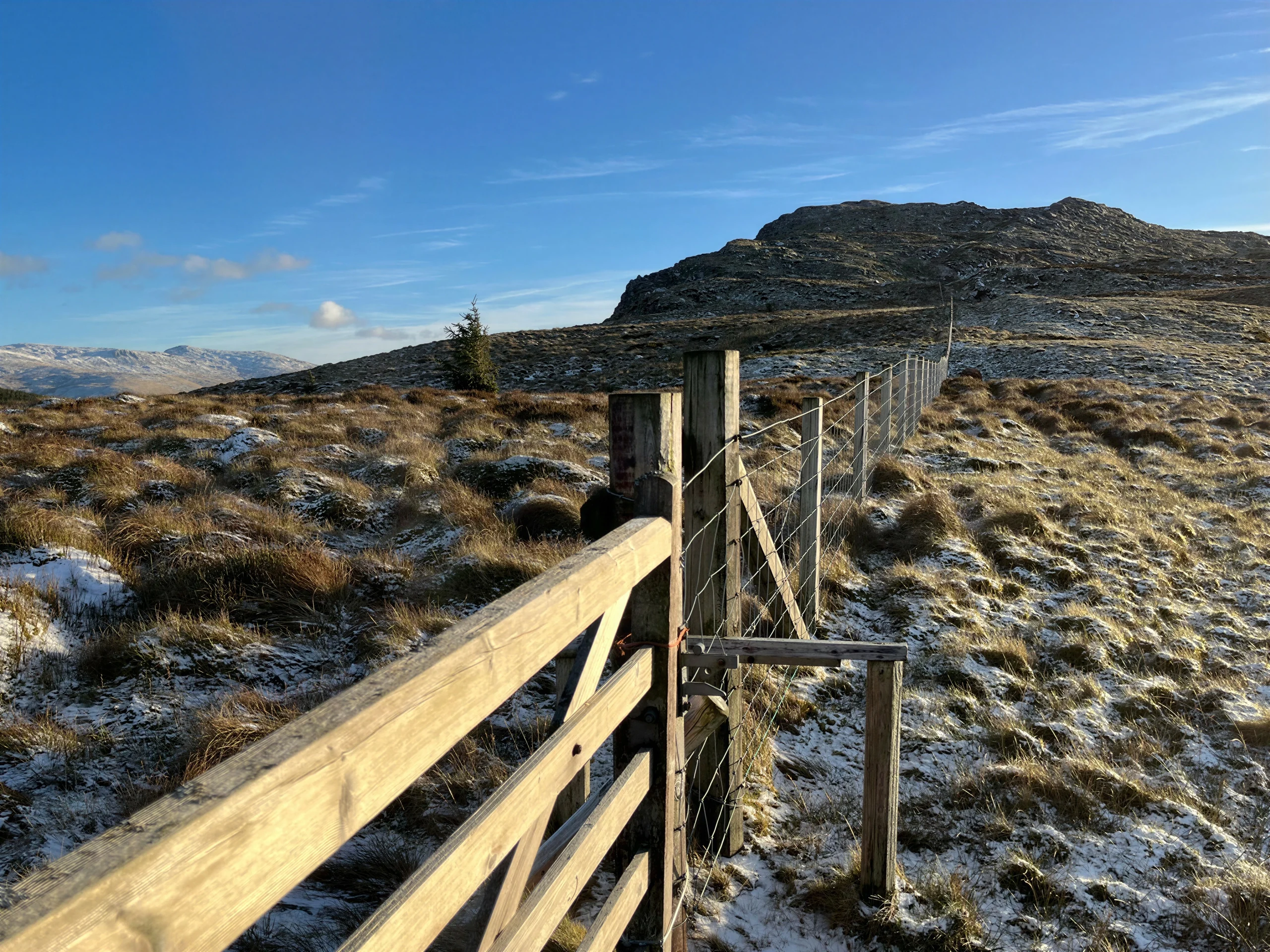
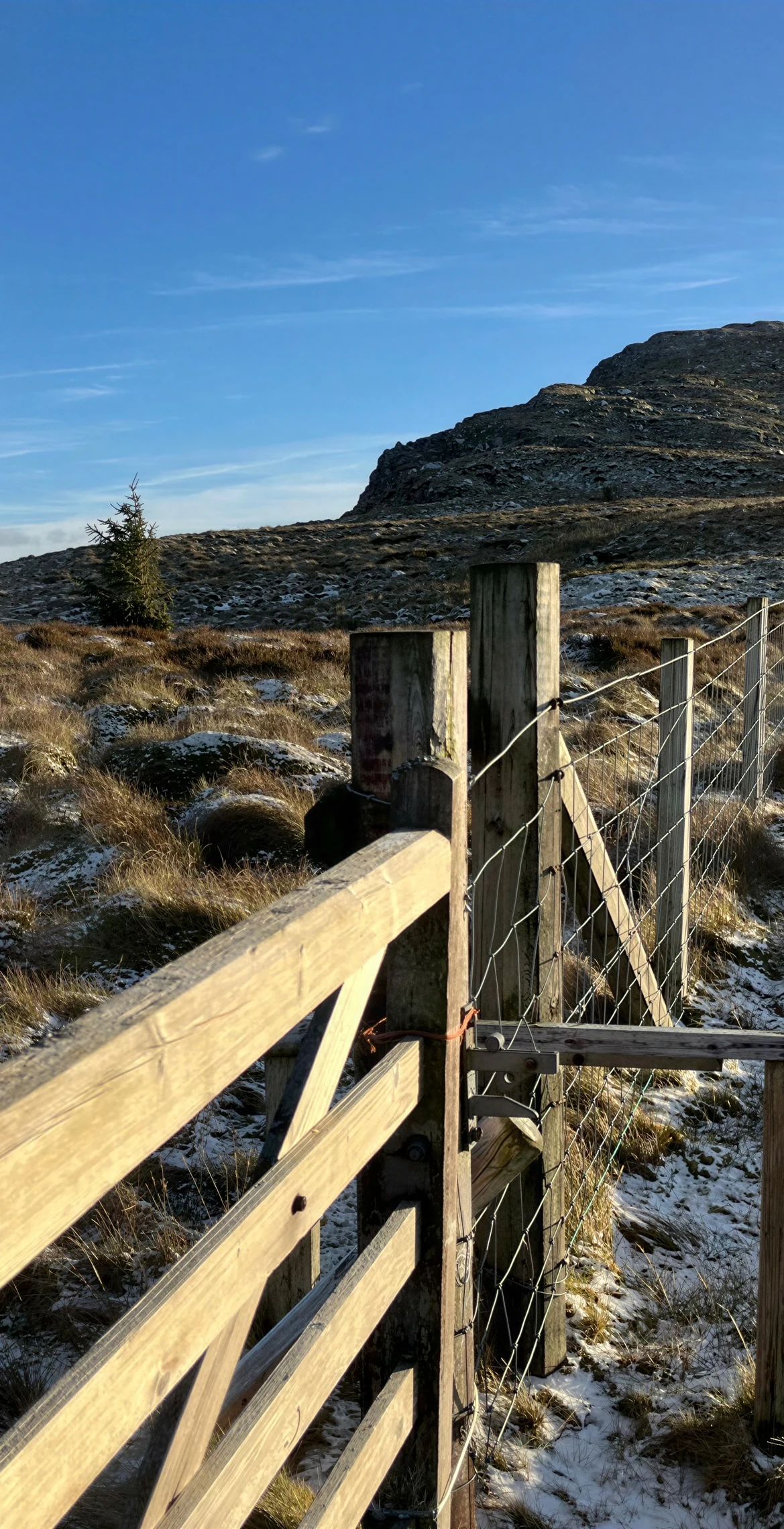
Meaning 'black hill', Dduallt is the sister peak of Rhobell Fawr, 2.9 km away, and rises to 662.8 m north of the A494 between Dolgellau and Llanuwchllyn. A cairn on an outcrop marks the top, and its eastern slopes are the source of the River Dee. It is normally climbed from the south-west, often together with Rhobell Fawr.
New to the Pennants?Read our guide: What Are The Welsh Pennants?Rock & Ground
Large boggy areas lie to the north and east, and the east face is very steep.
Summit Weather
Our Route
Distance10.6 mi17.1 km
Ascent860 m2,820 ft
Time5h 40mwalking
Start & FinishSH 8052 2209Circular route, back to the same spot
DirectionsAlso on this route: Rhobell Fawr
Safety: Routes are a guide only. Carry a map and compass and know how to use them, check the weather before you go, and turn back if in doubt. You use this route at your own risk.