


Hill data: The Database of British and Irish Hills v18.6 (CC BY 4.0)Height885 m2,904 ft
Grid RefSH 86723 24274
OS MapOL23OS Explorer
AreaThe Arans
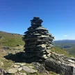
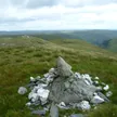
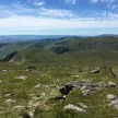
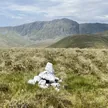
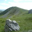
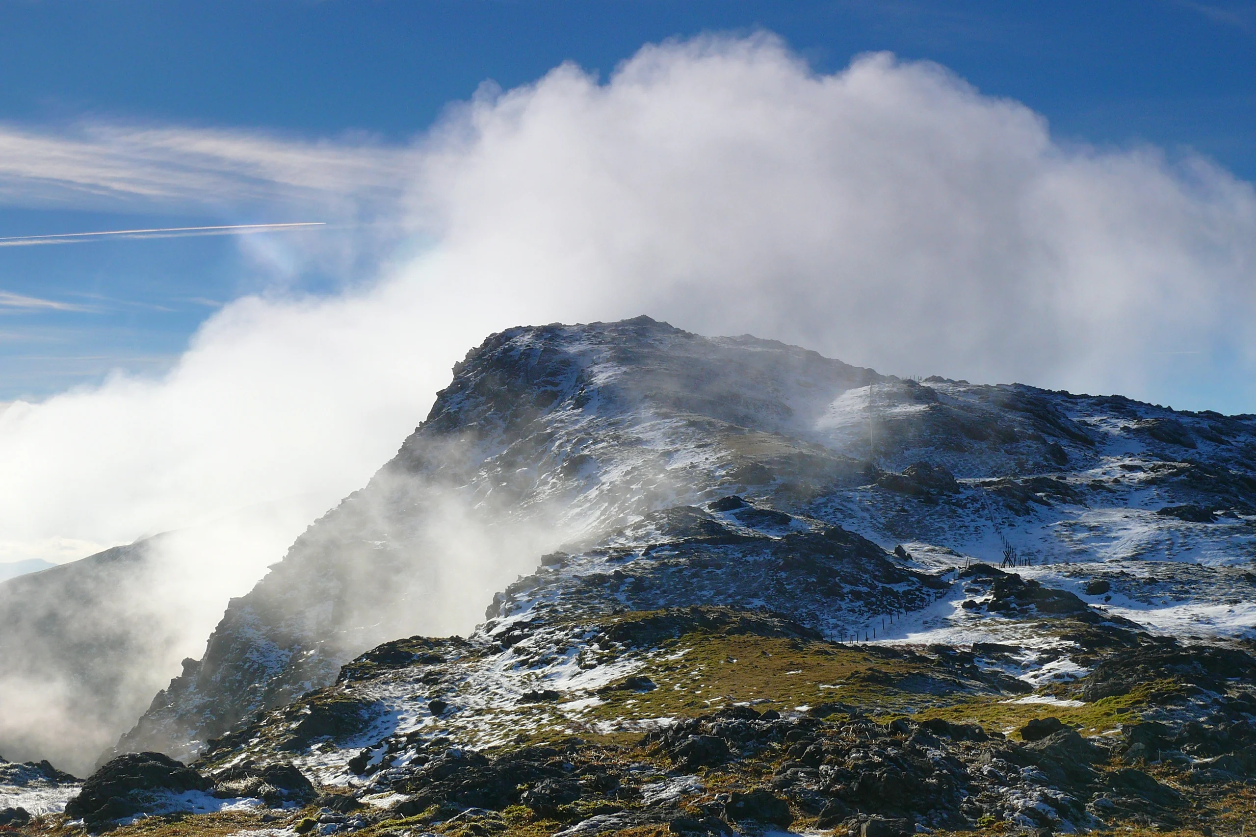
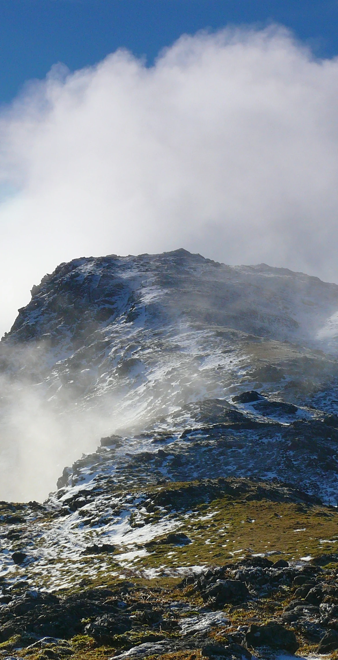
Second highest of the Arans at 885 m, Aran Benllyn tops the northern end of the main ridge, rising from the south shore of Llyn Tegid (Bala Lake). Erw y Ddafad-ddu lies between it and Aran Fawddwy. A small cairn marks the summit, with the highest rock about 35 m to its south, and the views include Llyn Tegid to the north and Rhobell Fawr and Cadair Idris to the west. Llyn Lliwbran lies to the north-east.
New to the Pennants?Read our guide: What Are The Welsh Pennants?Rock & Ground
The summit has a few rocky outcrops.
Summit Weather
Our Route
Distance11.7 mi18.9 km
Ascent1,320 m4,330 ft
Time6h 50mwalking
StartSH 8523 1885Grid reference of the start
DirectionsAlso on this route: Aran Fawddwy, Erw y Ddafad-ddu, Foel Hafod-fynydd
Safety: Routes are a guide only. Carry a map and compass and know how to use them, check the weather before you go, and turn back if in doubt. You use this route at your own risk.