


Hill data: The Database of British and Irish Hills v18.6 (CC BY 4.0)Height623 m2,044 ft
Grid RefSH 65845 34594
OS MapOL18OS Explorer
AreaThe Rhinogs
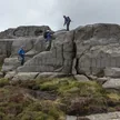
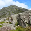
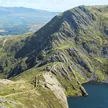
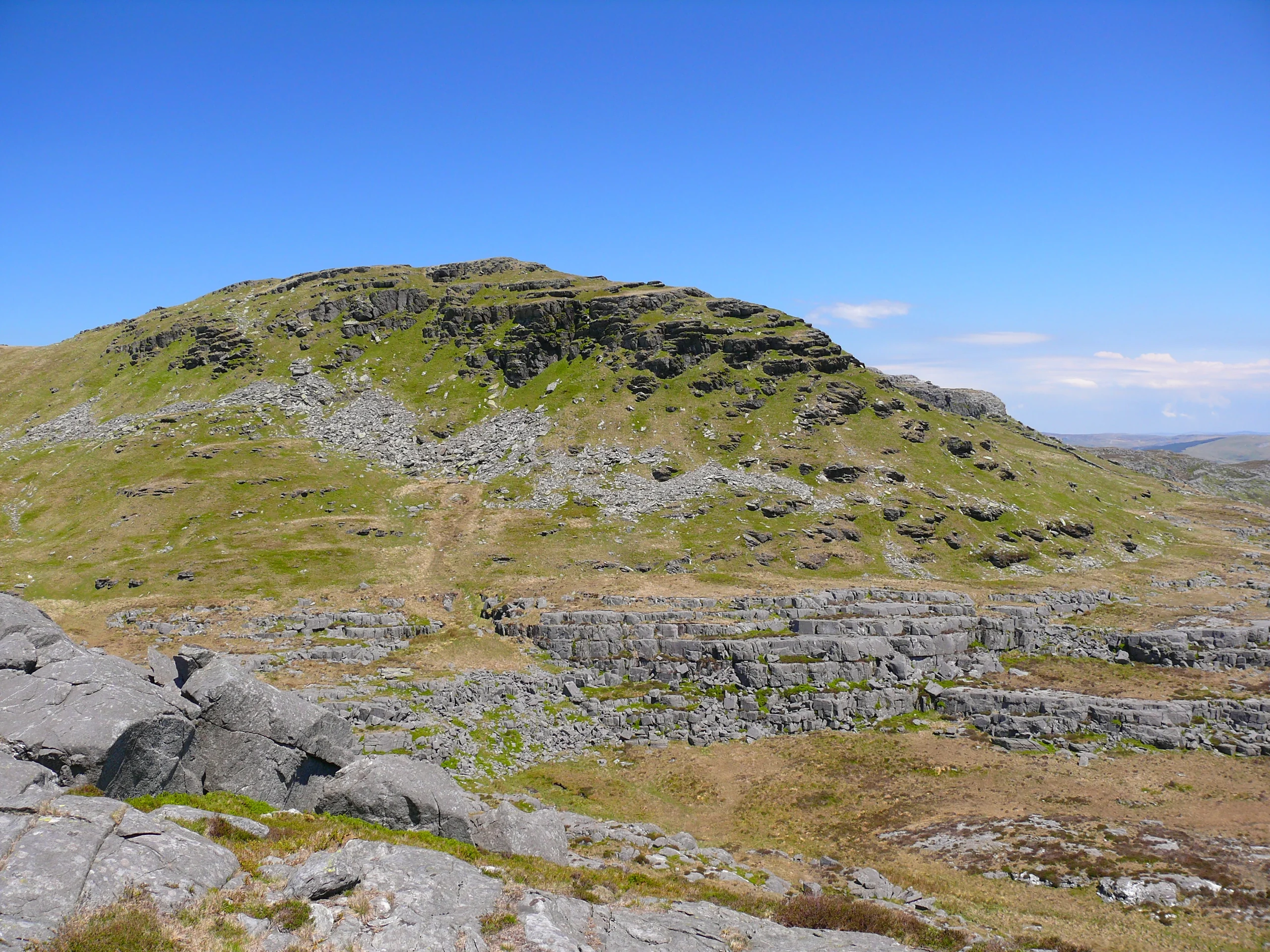
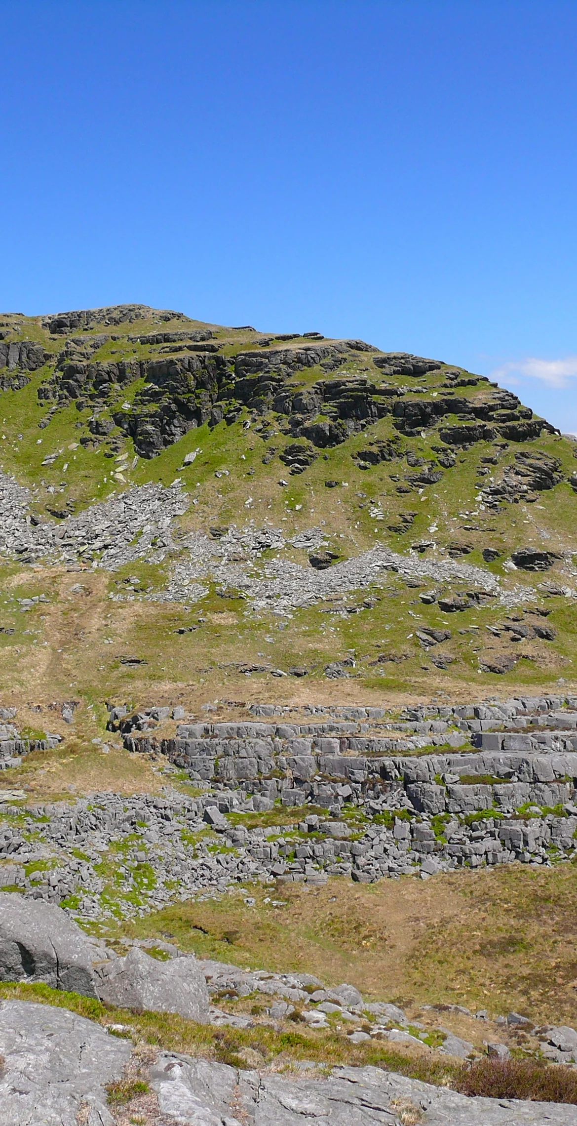
Meaning 'bare hill of the hares', Moel Ysgyfarnogod is the northernmost of the Rhinogydd, rising to 623 m above Llyn Trawsfynydd. A large cairn sits by the trig point, and Porthmadog and Blaenau Ffestiniog can be seen from the summit. It may be climbed from Trawsfynydd in the east or Talsarnau in the west, and to the north-west lies Bryn Cader Faner, one of the finest Bronze Age cairns in Britain.
New to the Pennants?Read our guide: What Are The Welsh Pennants?Summit Weather
Our Route
Distance5.8 mi9.4 km
Ascent580 m1,900 ft
Time3h 20mwalking
StartSH 6802 3640Grid reference of the start
DirectionsAlso on this route: Foel Penolau
Safety: Routes are a guide only. Carry a map and compass and know how to use them, check the weather before you go, and turn back if in doubt. You use this route at your own risk.