



Contents
Overview
Until 2010, maps put Glyder Fawr at 999m, a single metre short of the magic thousand. A new survey changed that, and the highest summit of the Glyderau is now one of only five Welsh mountains over 1,000m. Its name is thought to come from a Welsh word for a heap of stones, and the climb from Ogwen, through Cwm Idwal and up beside the dark cleft of the Devil's Kitchen, is one of the classic walks of Snowdonia.
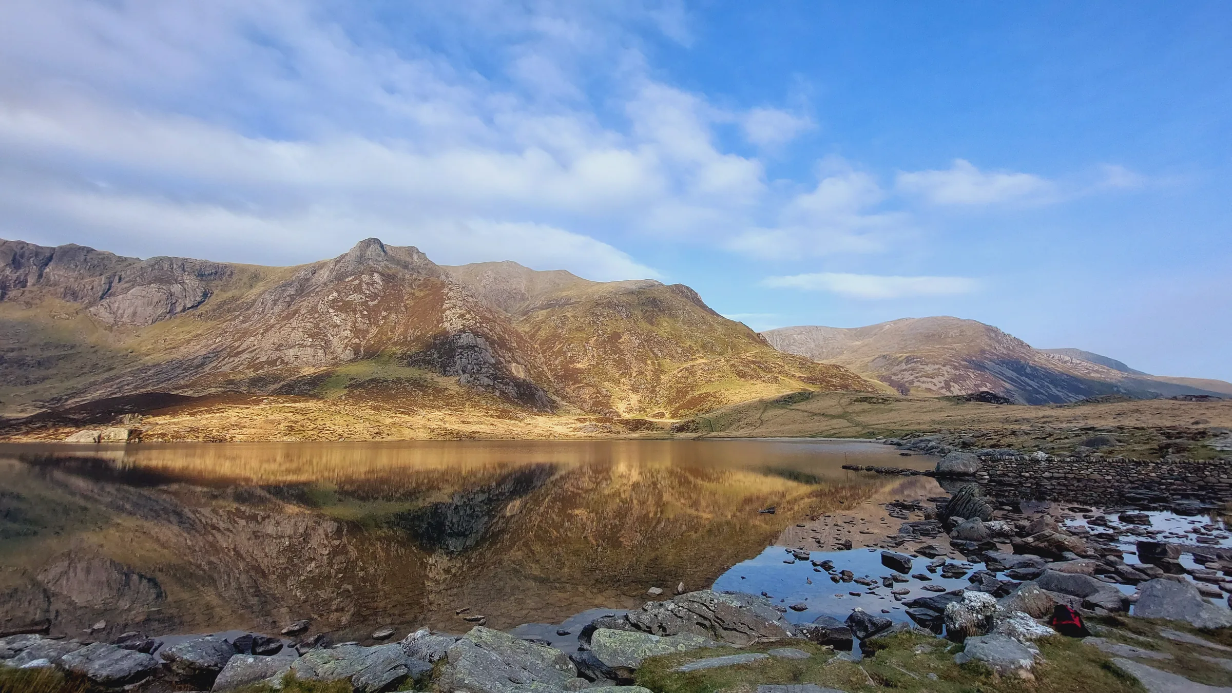
The loop starts at the Ogwen car park and follows the stone path up into Cwm Idwal and along the east shore of Llyn Idwal, below the Idwal Slabs. At the back of the cwm a rough path climbs stone steps beside the Devil's Kitchen to Llyn y Cŵn, a small lake in the col between Glyder Fawr and Y Garn. From there a steep scree path takes you up to the summit at about 2.4 miles. You then head east across the stony top to Y Gribin, the ridge that runs north between Cwm Idwal and Cwm Bochlwyd. Its upper part is a short, easy scramble with some exposure, before the ridge widens and becomes a straightforward descent to Llyn Bochlwyd. A steep path beside the stream that flows out of the lake brings you back down to the Cwm Idwal path and the car park. This walk takes in one Pennant: Glyder Fawr. Find all 136 on our Pennants map.
Go prepared, stay safe,
and enjoy the hike!
Key Info
Crowds
High
Ogwen is one of the busiest starts in Snowdonia. The path into Cwm Idwal and up beside the Devil's Kitchen is climbed by thousands of people every year, and the small car park fills up quickly at busy times such as the spring and summer holidays. Y Gribin, which this route uses for the way down, is a much quieter line than the main paths.
When it gets busy
- The spring and summer holidays, when parking at Ogwen fills up quickly
- The Cwm Idwal path and the steps beside the Devil's Kitchen, used by thousands of walkers a year
For a quieter walk
- Take the TrawsCymru T10 or the Bws Ogwen electric bus from Bethesda instead of driving to Ogwen
- If the car park is full, park at Bethesda Football Club (£7 a day) and catch the bus up
- Never park on the double yellow lines along the A5
- Expect fewer people once you leave the summit for Y Gribin
Our crowd rating is for a typical sunny weekend in spring or summer, in the middle of the day. Timing makes a big difference, so even a busy walk can be quiet early, late or midweek.
The Route
Disclaimer: Route information and GPX files are provided for general guidance only. Conditions can change, so always use your own judgement and navigate responsibly. See our Terms of Use & Disclaimer for more information.
Route Guide
- 1
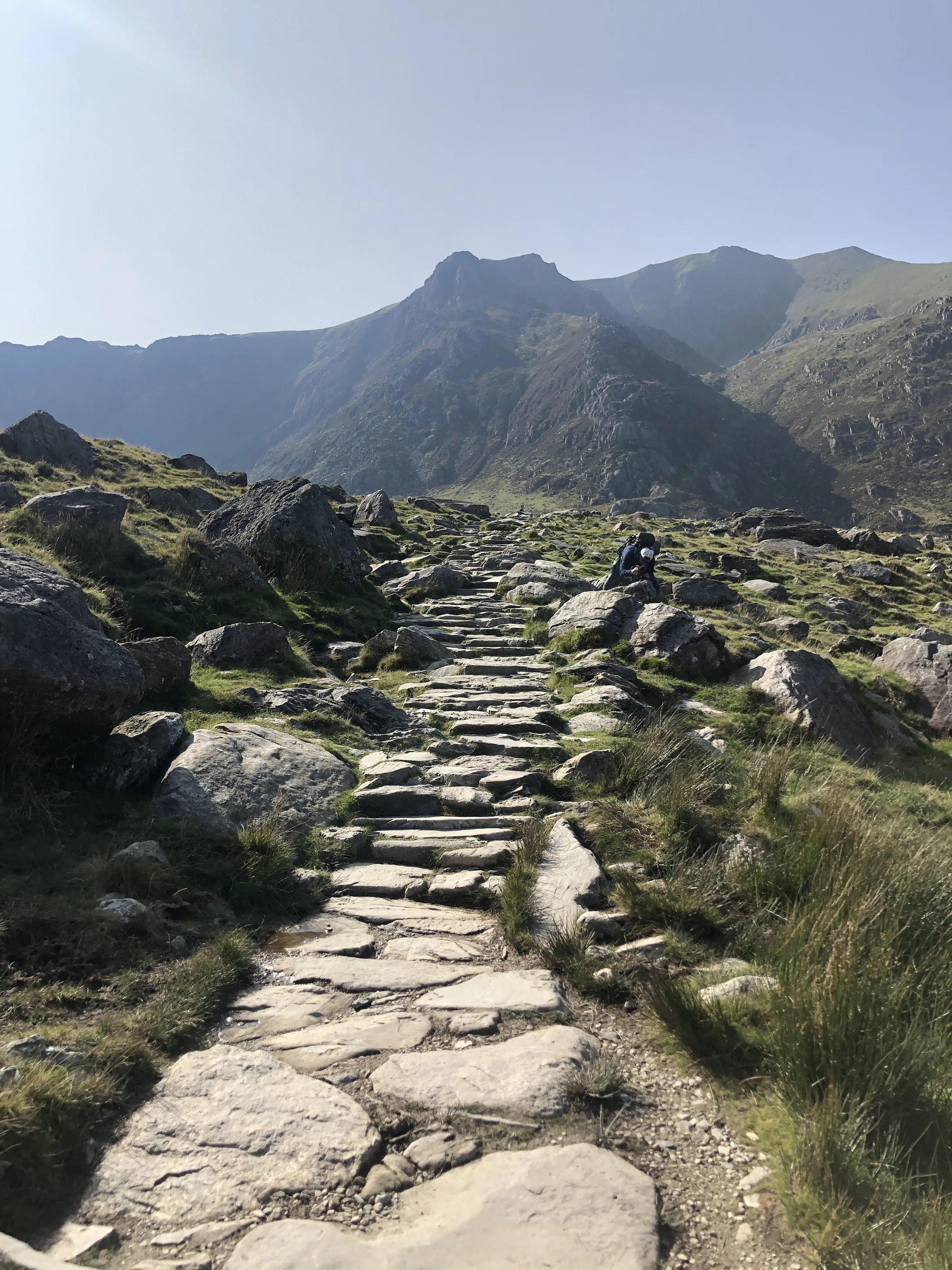
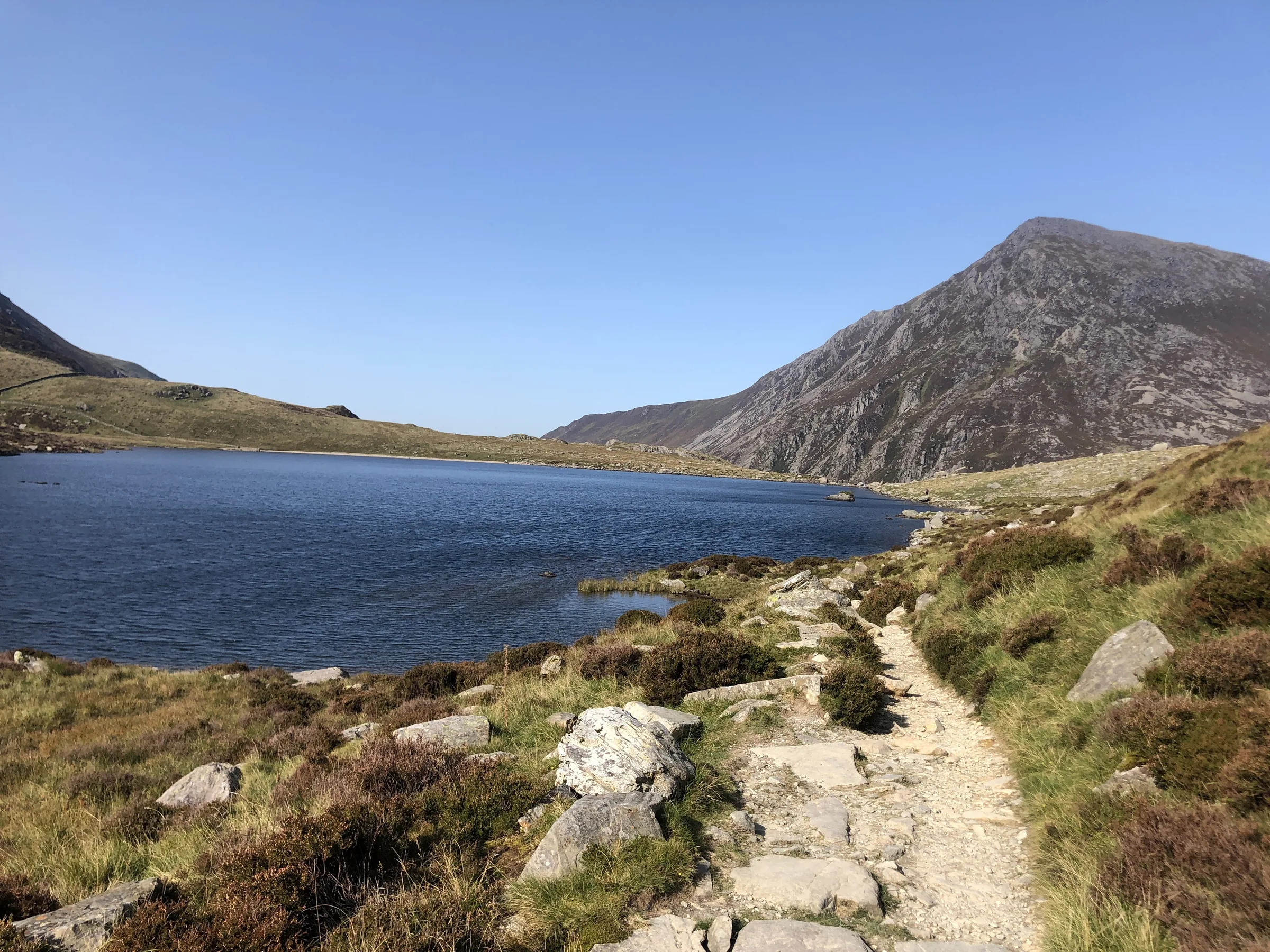
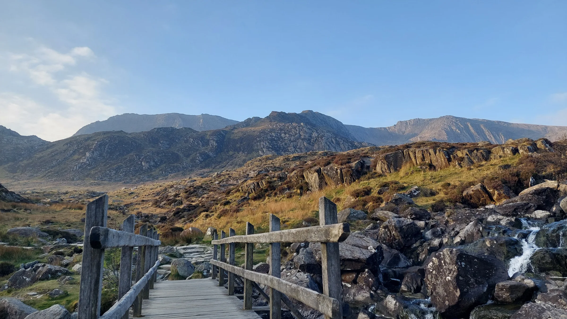
Into Cwm Idwal0.7 mi · 69m upFrom the car park, take the stone path that starts beside the Cwm Idwal Centre. It climbs gently, crossing a footbridge early on, to a fork at about 0.3 miles. Keep right here (the left branch is the Llyn Bochlwyd path you'll come down at the end) and carry on up to the northern end of Llyn Idwal.
- 2
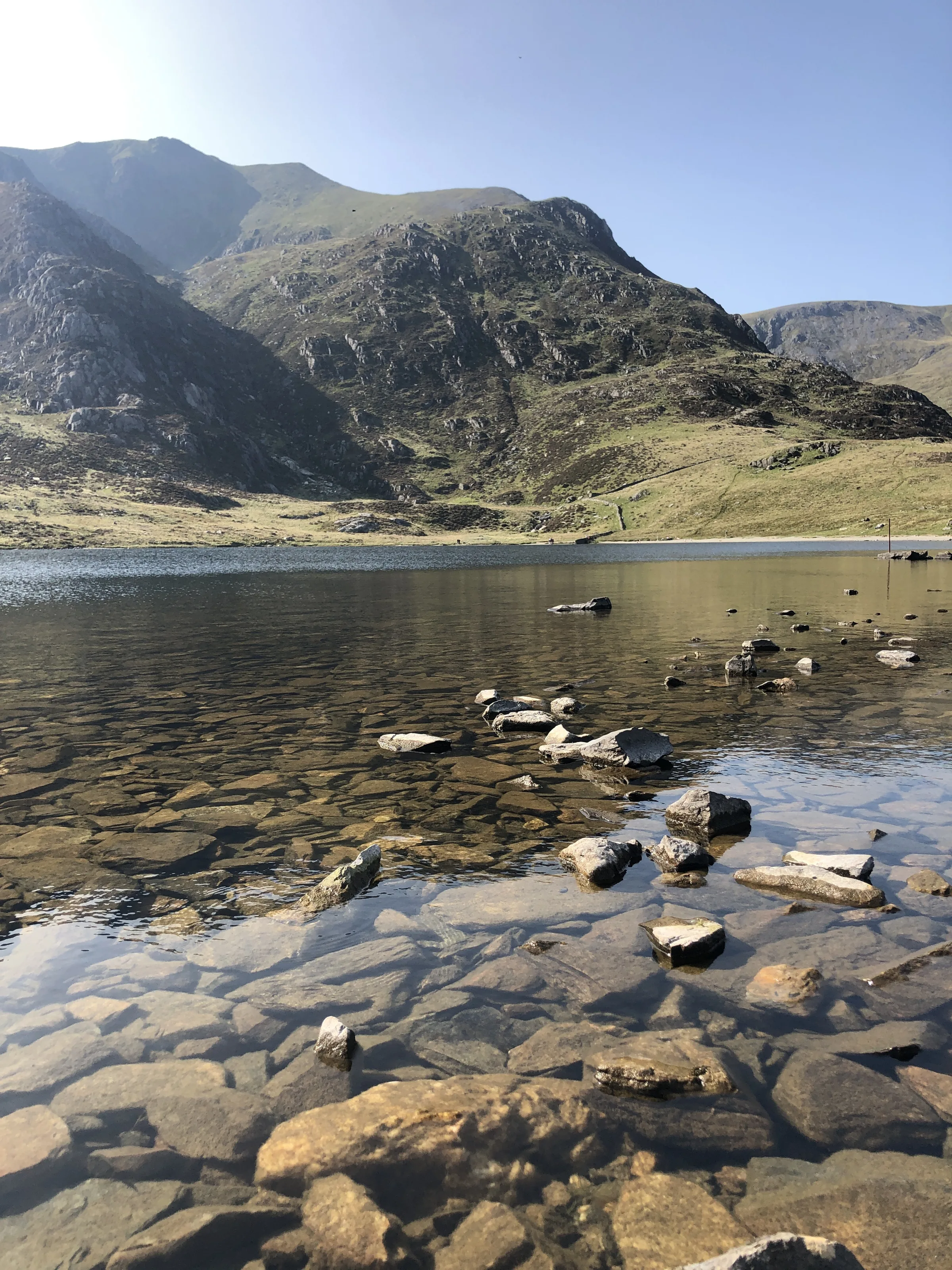
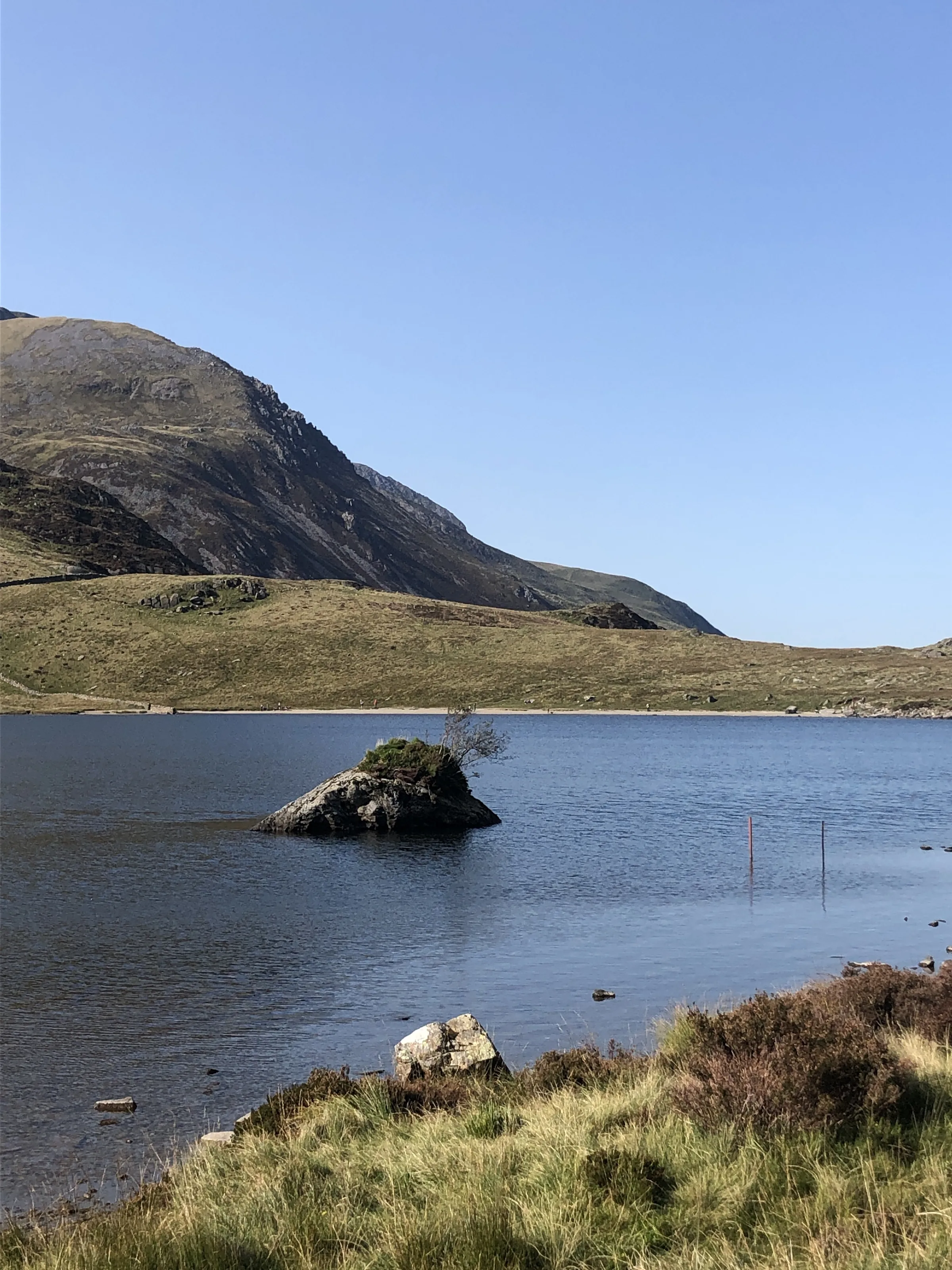
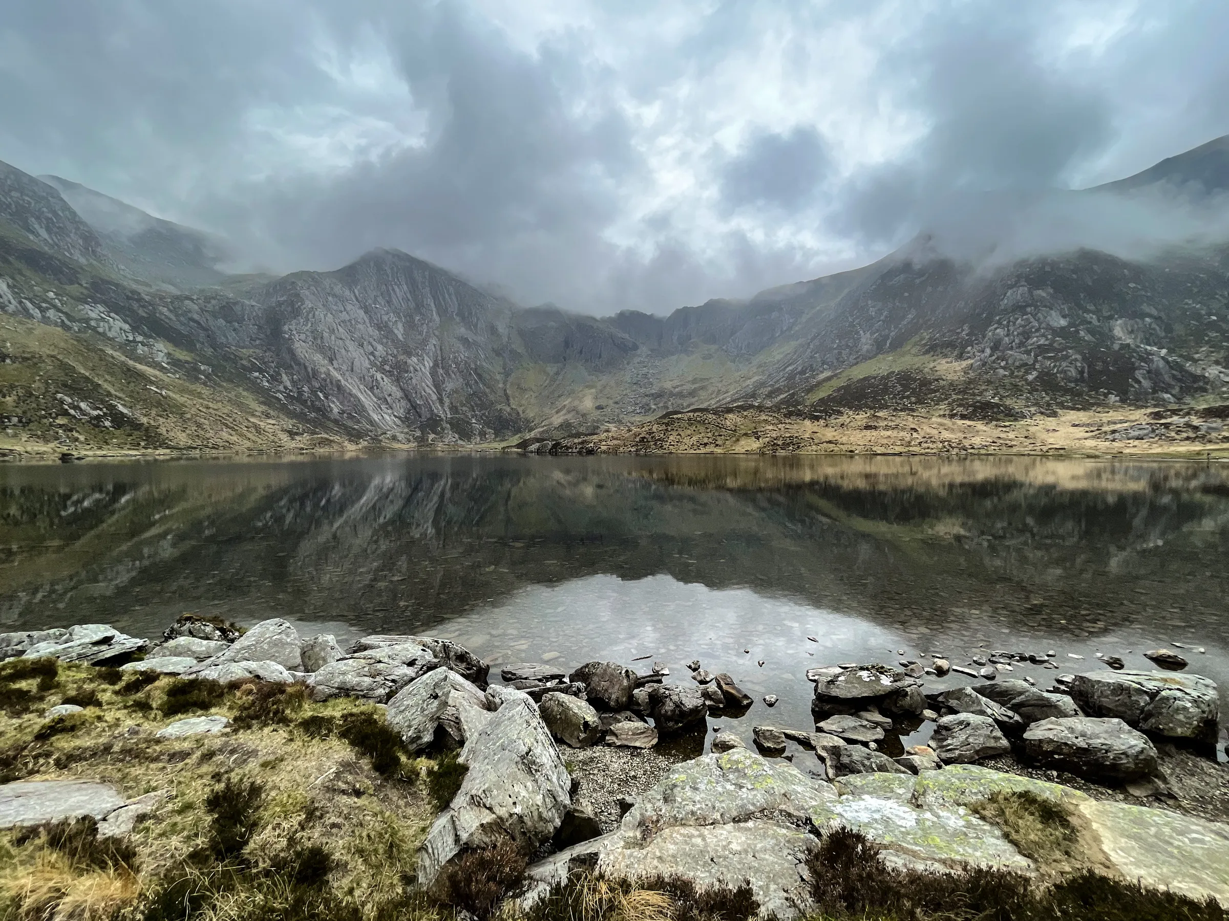
Along Llyn Idwal0.5 mi · 36m up · 3m downTurn left and follow the path south along the east shore of the lake. Towards the far end, the tilted rock of the Idwal Slabs rises on your left.
- 3
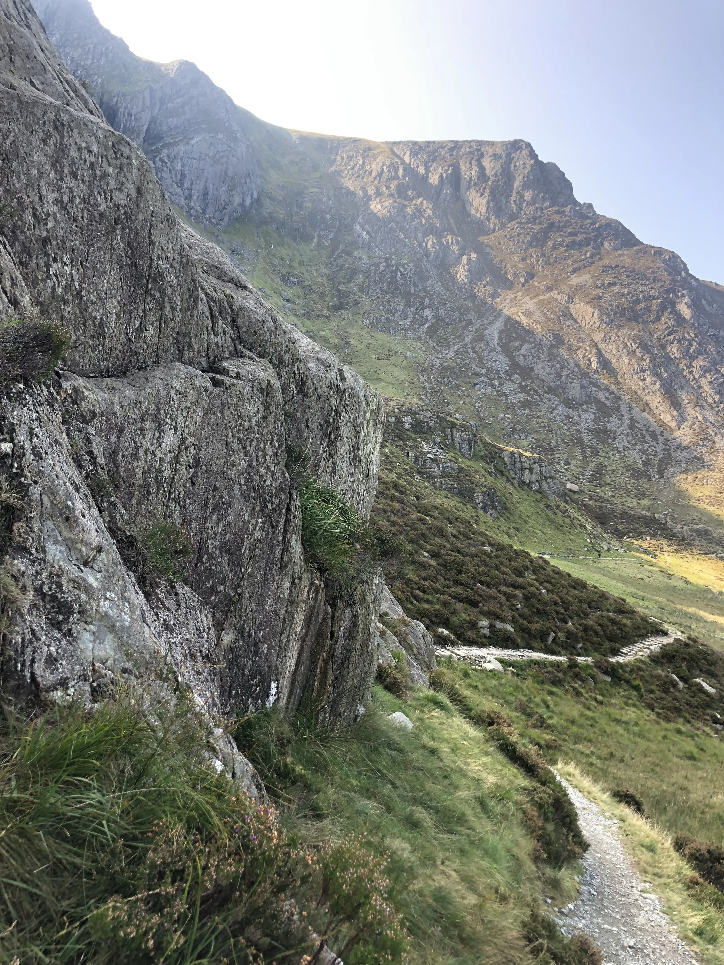
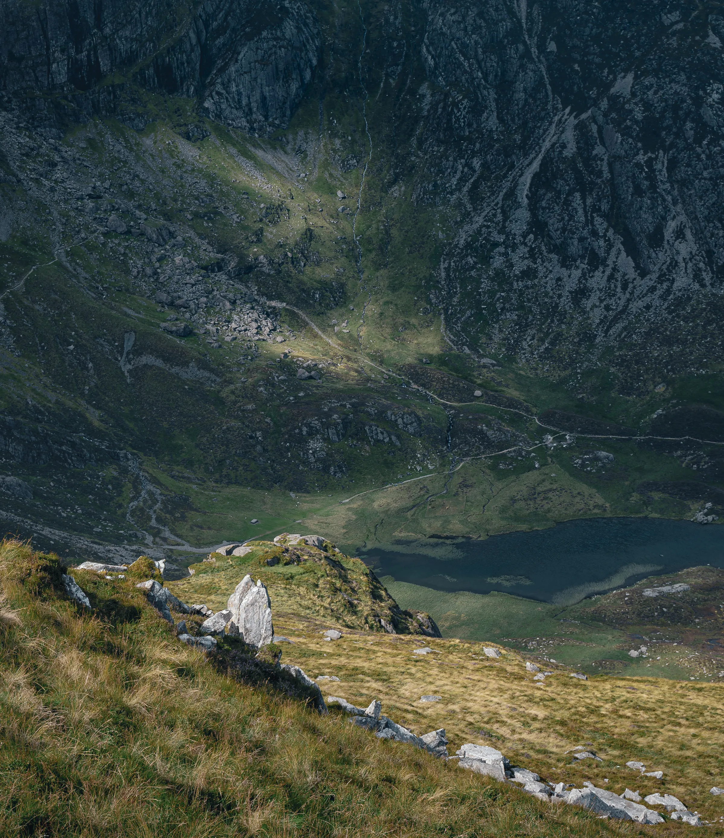
Beside the Devil's Kitchen0.7 mi · 333m upPast the end of the lake, the path climbs west across the back of the cwm over rough, rocky ground, with the dark cleft of the Devil's Kitchen in the cliffs ahead. You don't go into the cleft itself: the path climbs steeply up stone steps to the left of it, gaining over 300m, and comes out at the top beside Llyn y Cŵn.
- 4
Up the Scree0.5 mi · 247m upAt Llyn y Cŵn, turn left and take the path up the steep, loose scree slope to the south-east. This is the steepest climb of the walk, about 250m in half a mile, and it brings you out on Glyder Fawr's stony top. The summit is at about 2.4 miles.
- 5
Across the Top0.6 mi · 3m up · 39m downHead east across the stony summit plateau, dropping gently and keeping near the edge on your left. At about 3.0 miles you reach the top of Y Gribin, the ridge that runs north off the plateau.
- 6
Scramble Down Y Gribin0.3 mi · 145m downTurn left (north) down the ridge. Its upper part is a narrow, rocky crest and a short Grade 1 scramble, so you'll need your hands in places. The steepest drops are on the Cwm Bochlwyd side, to your right on the way down, so stay a little to the left, where the ground is easier and less exposed. The scramble ends where the ridge widens into a flat area about the size of a football pitch.
- 7
Down the Lower Ridge0.5 mi · 226m downFrom the flat area the ridge is broad and much easier. Follow the path north down it, past rocky outcrops, with Llyn Bochlwyd coming into view below on your right.
- 8
Past Llyn Bochlwyd0.6 mi · 230m downAt the foot of the ridge, bear right to the outflow of Llyn Bochlwyd, at about 4 miles. Cross the outflow and follow the steep, rocky path down beside the stream, Nant Bochlwyd, until it meets the Cwm Idwal path at the fork you passed on the way out.
- 9
Back to Ogwen0.3 mi · 44m downTurn right and retrace your outward steps down the stone path to the car park.
Use the route on OS Maps, AllTrails or Komoot to navigate on the day; this guide is for planning.
Parking
The walk starts from the Ogwen Centre car park on the A5, beside the Cwm Idwal Centre (LL57 3LZ; use the Directions button to get to the car park itself). It's a small car park run by the Snowdonia National Park Authority and costs £3 for 4 hours or £6 for the day, with the day ticket running out at midnight. This walk takes most people 4 to 5 hours, so buy the day ticket. You can only pay by chip and pin or contactless; cash isn't accepted. Spaces fill up quickly at busy times such as the spring and summer holidays, and parking on the double yellow lines along the A5 isn't allowed at any time, including on the verge and pavement. If it's full, there are free lay-bys along the A5 and a park and ride from Bethesda (see Alternative Parking). There are public toilets in the Cwm Idwal Centre. Check the latest prices here.
*Prices correct at time of writing; check before you travel.
Alternative Parking
Facilities & Hospitality
In the Cwm Idwal Centre right beside the car park, with public toilets and showers open 24 hours a day.
Also in the Cwm Idwal Centre at the start, selling drinks, snacks, pasties and locally baked cakes. It's usually open 9AM to 4PM, for longer in summer, and only at weekends in January.
A youth hostel right next to the car park, with beds in shared rooms, private and en-suite rooms and camping. It's self-catering, with a guest kitchen and a licensed bar, but there's no Wi-Fi and pets aren't allowed (assistance dogs are welcome).
Weather
Hike Videos
Note: Videos are made by other walkers, not The Lost Peak. They may not follow this exact route, and paths, conditions and facilities may have changed since filming.
Photo Gallery
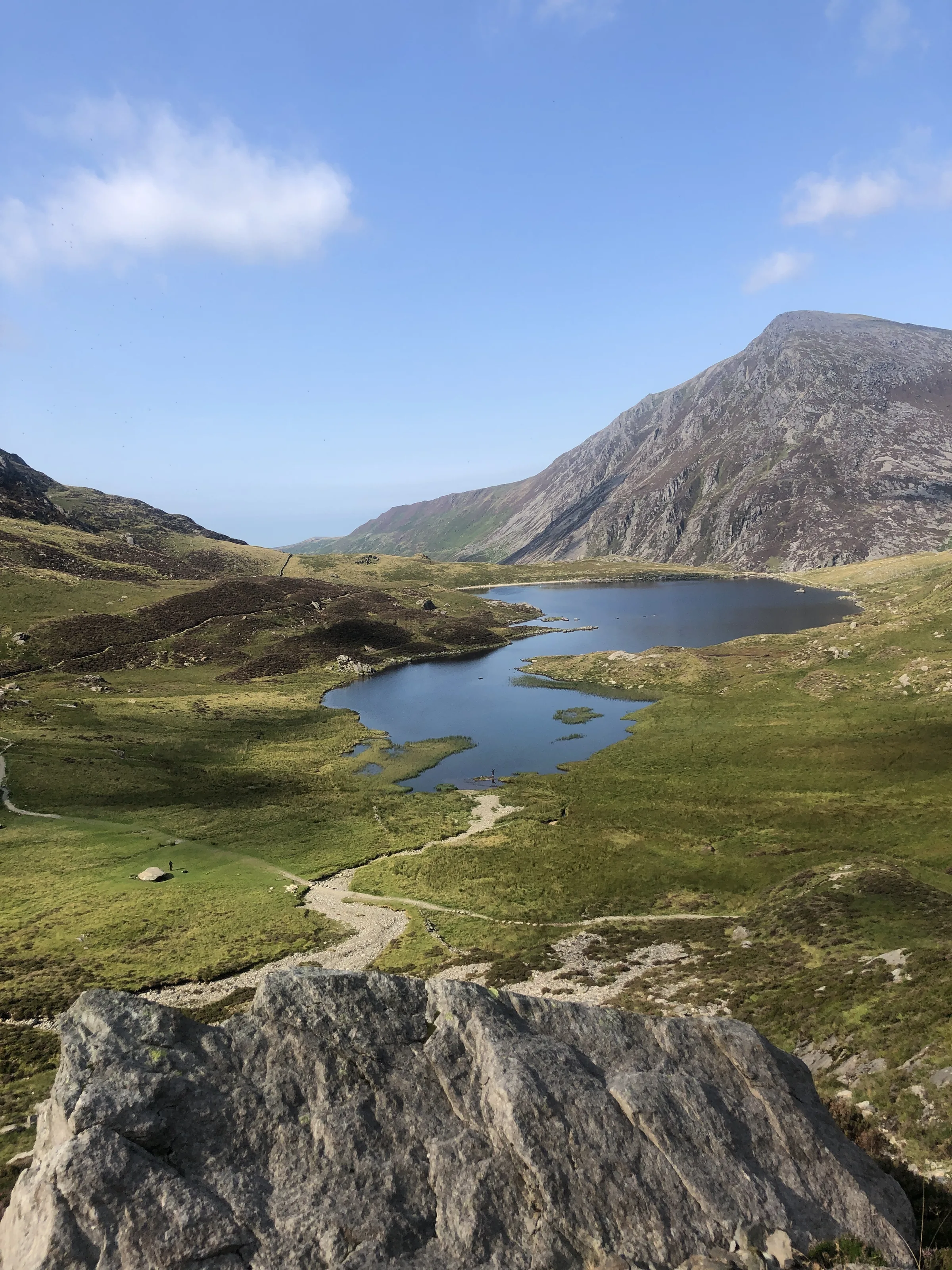
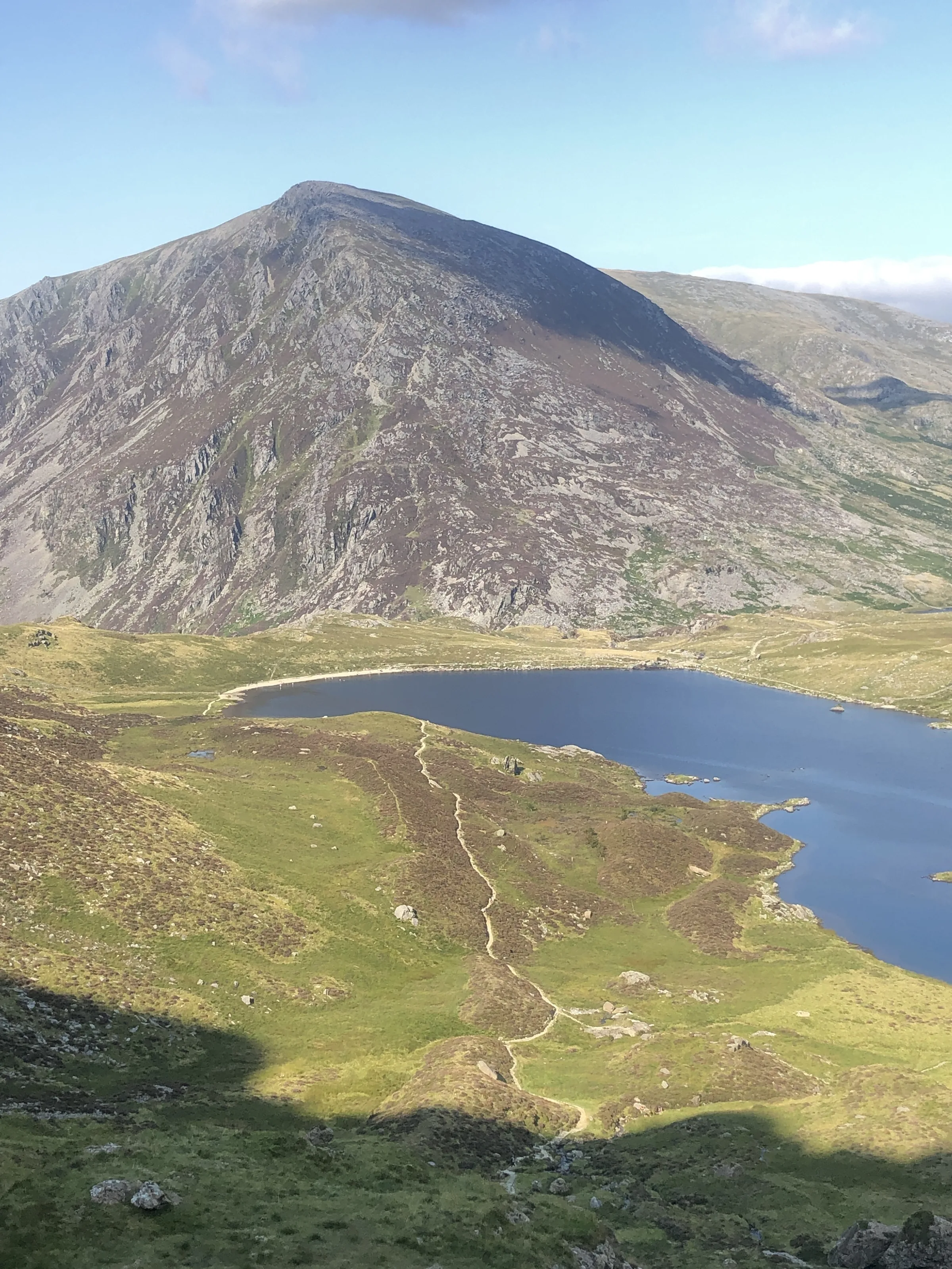
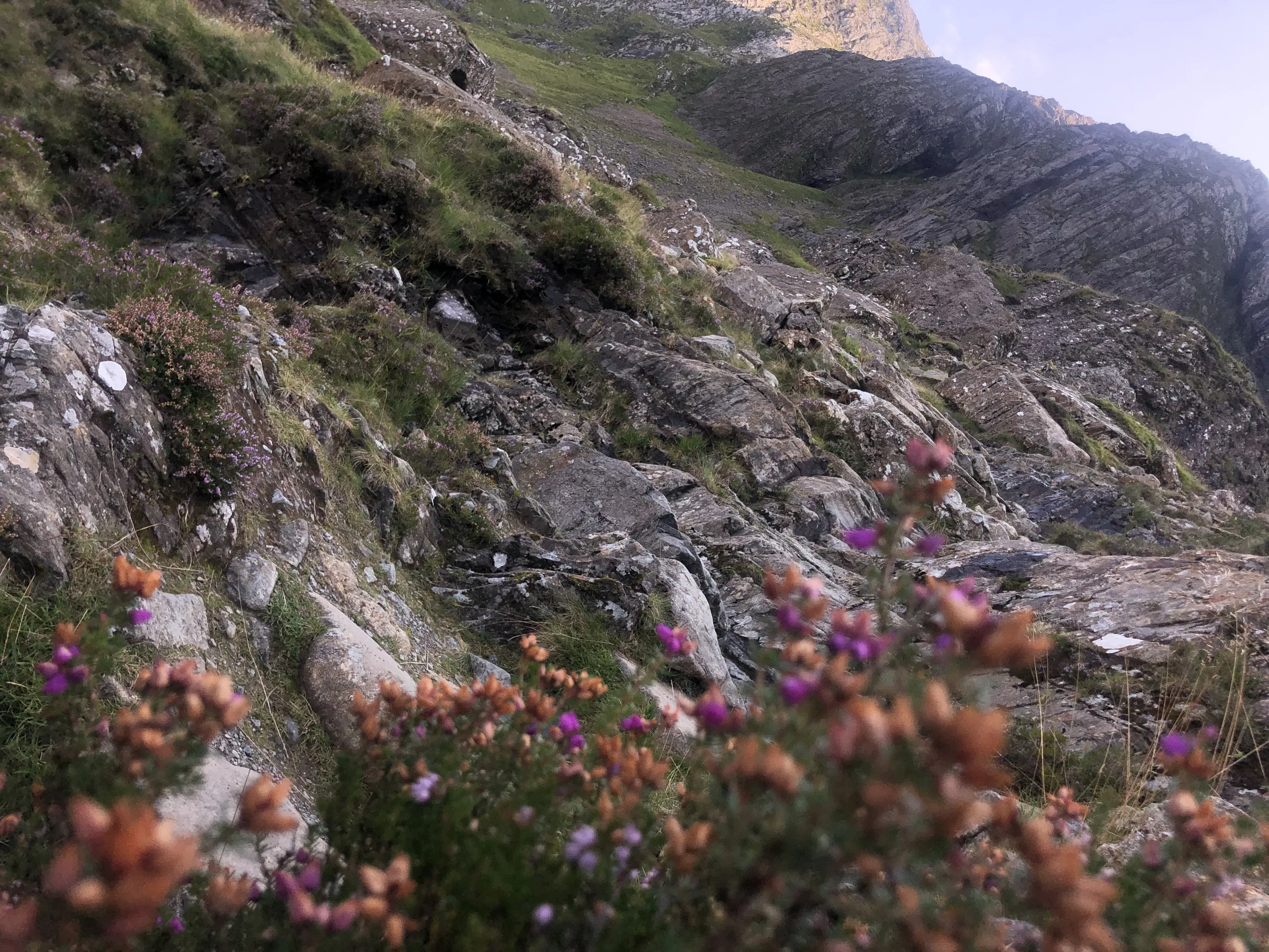
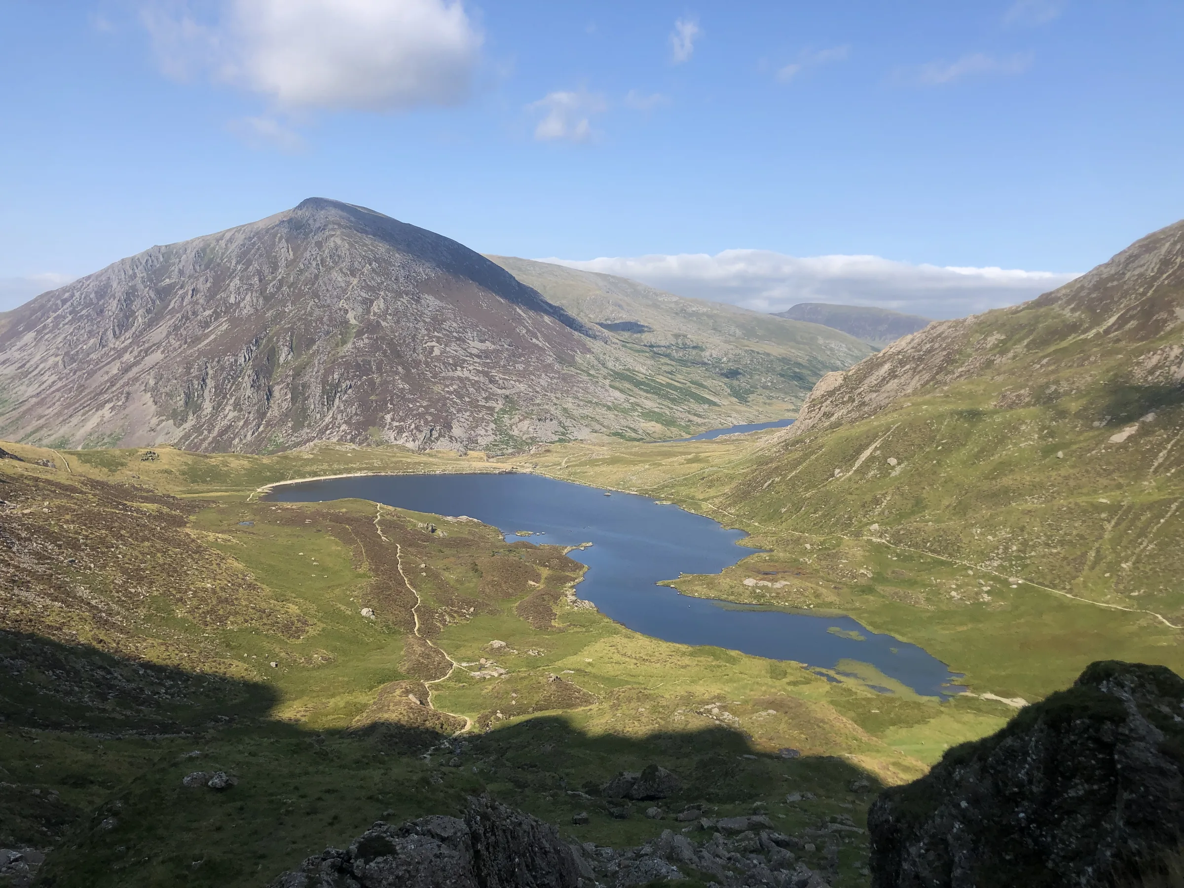
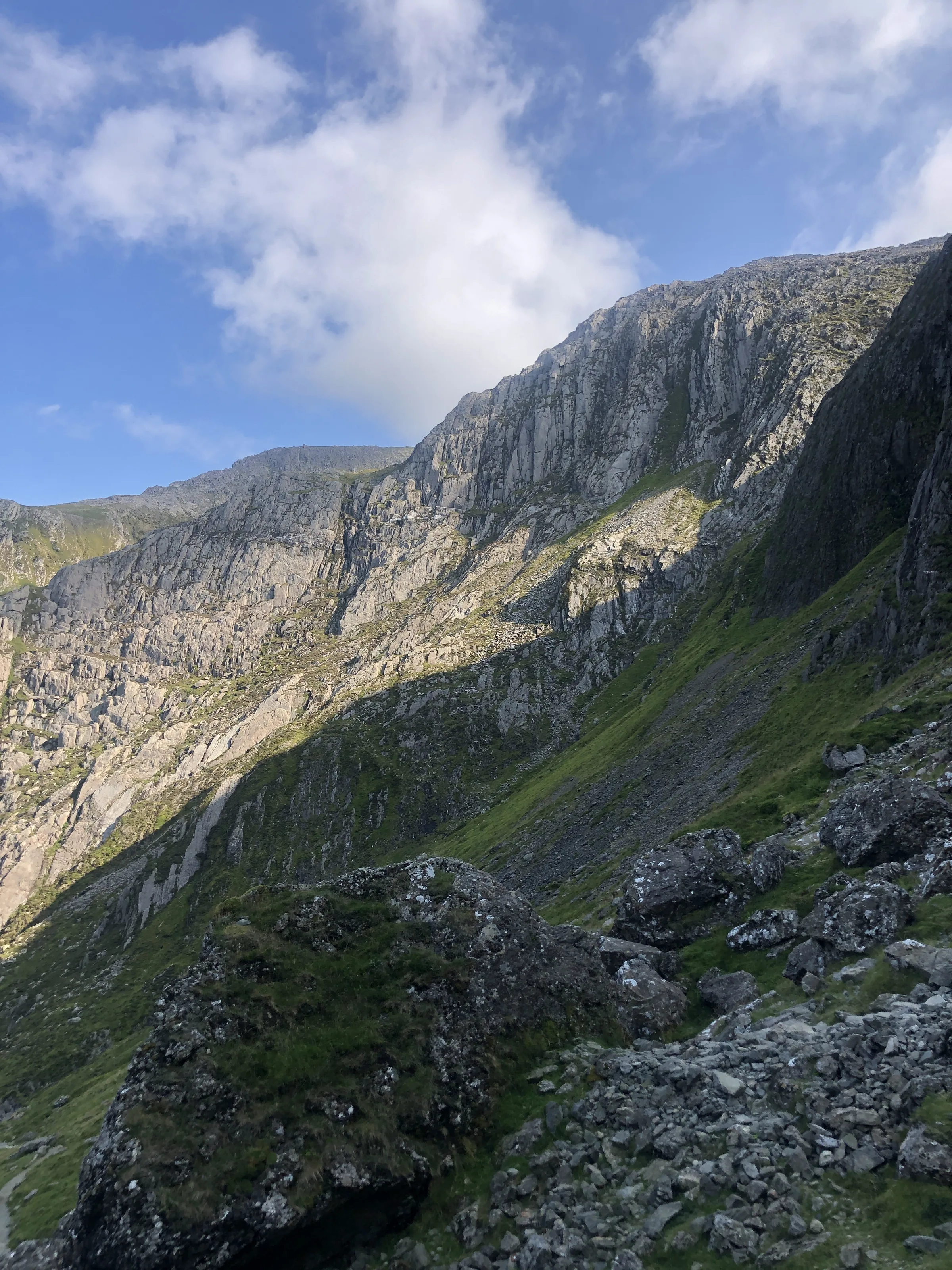
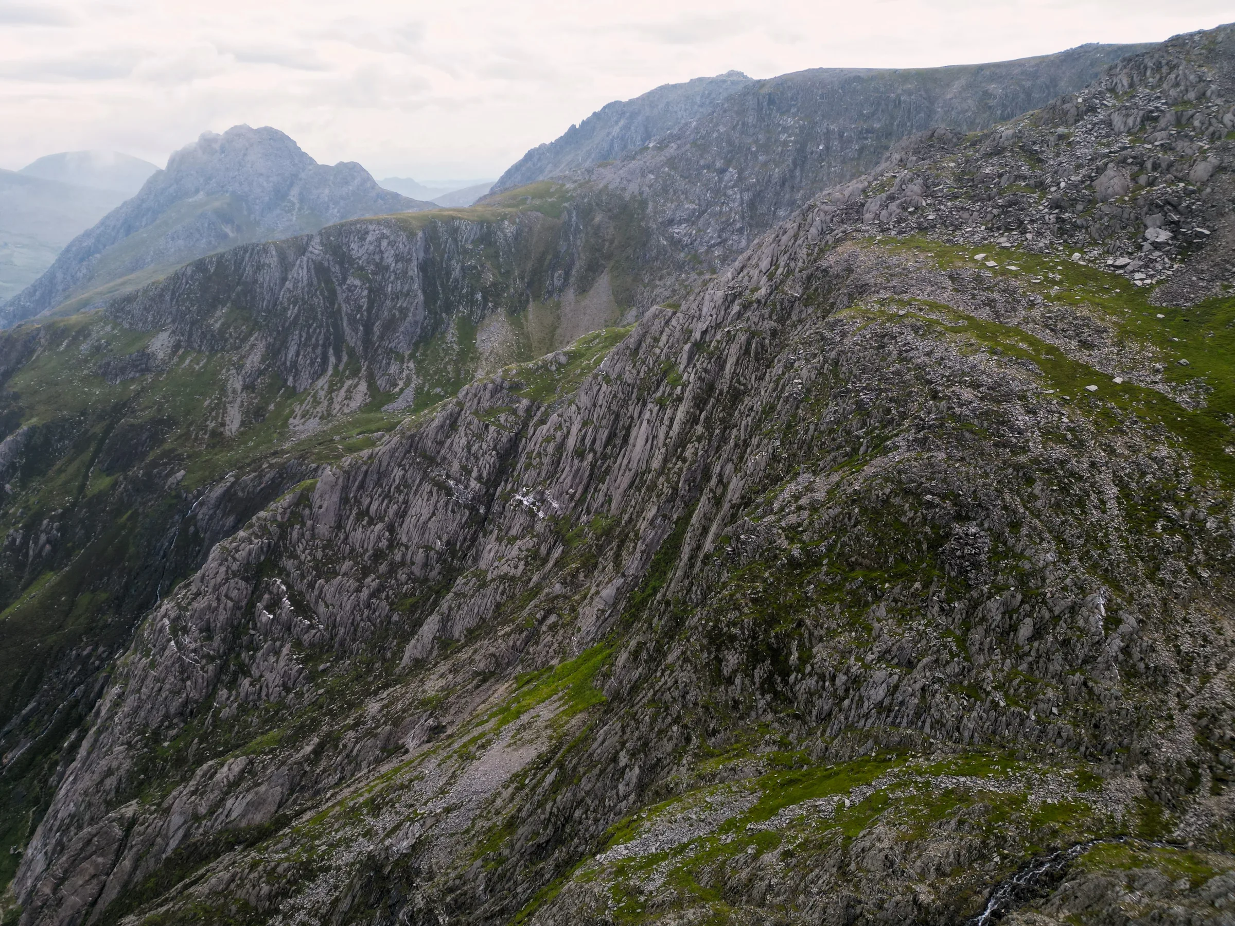
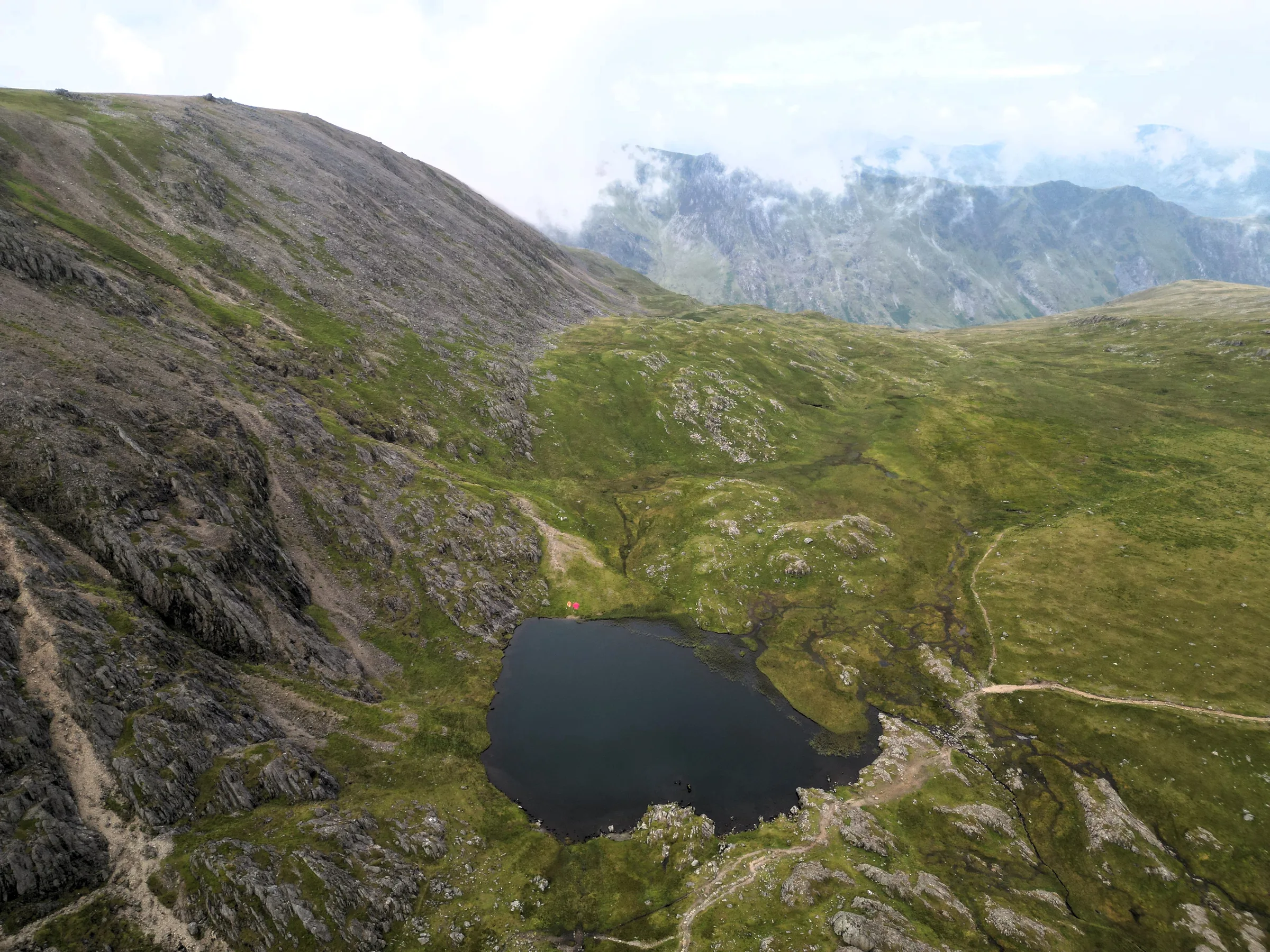
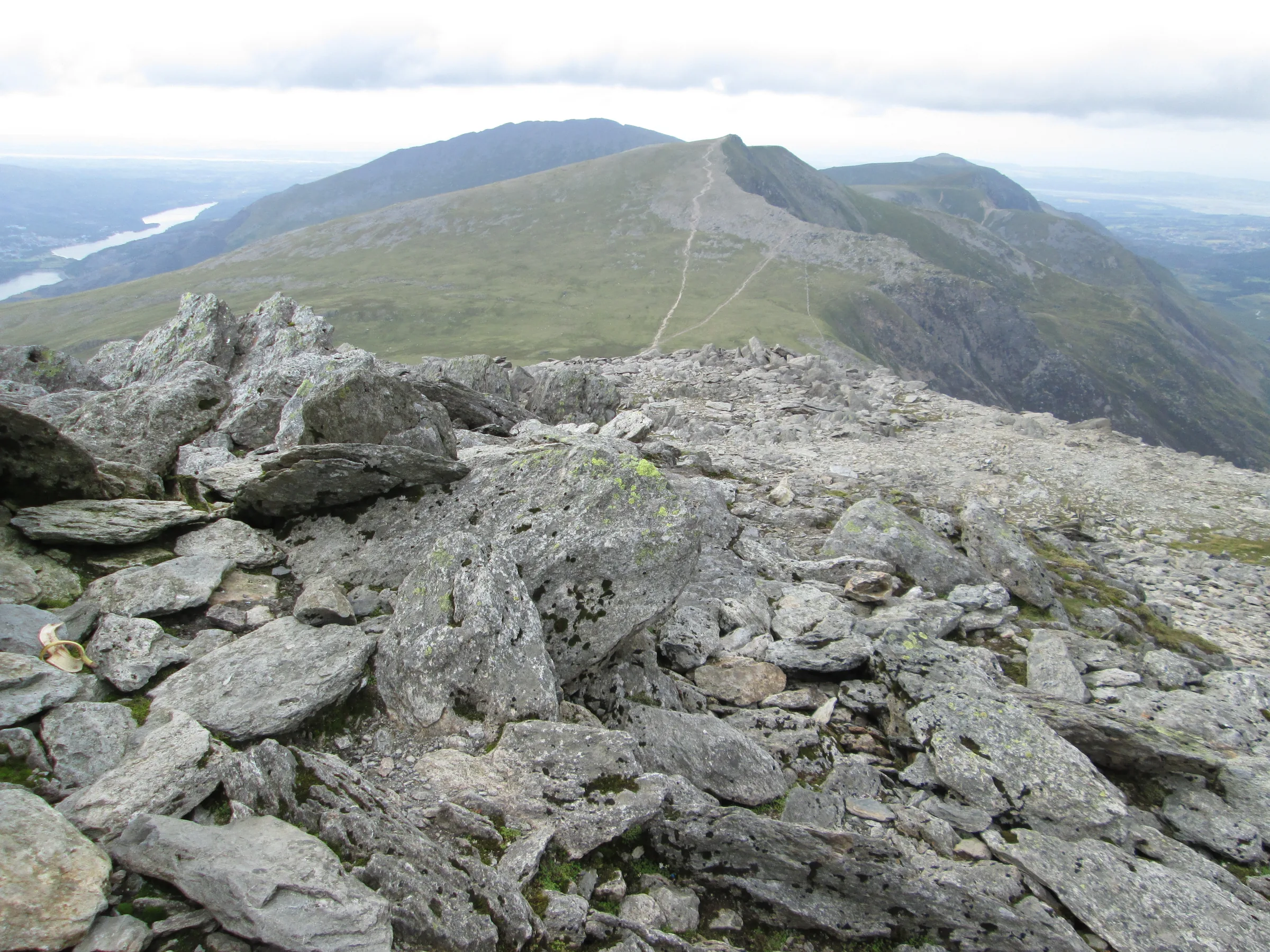
Photos
Photo credits
Photos without a credit are our own. These are used under Creative Commons licences; thank you to the photographers.
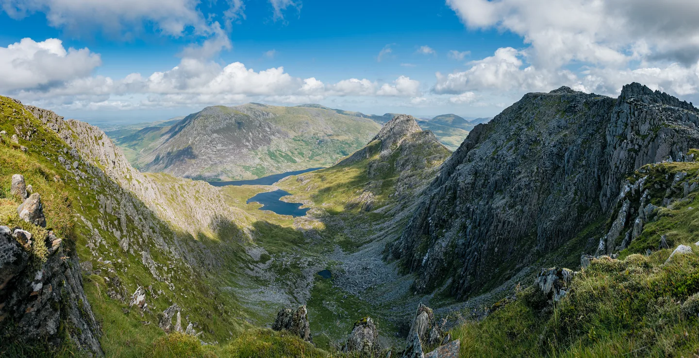
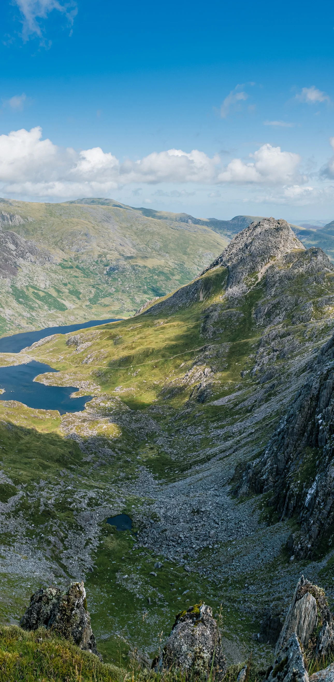
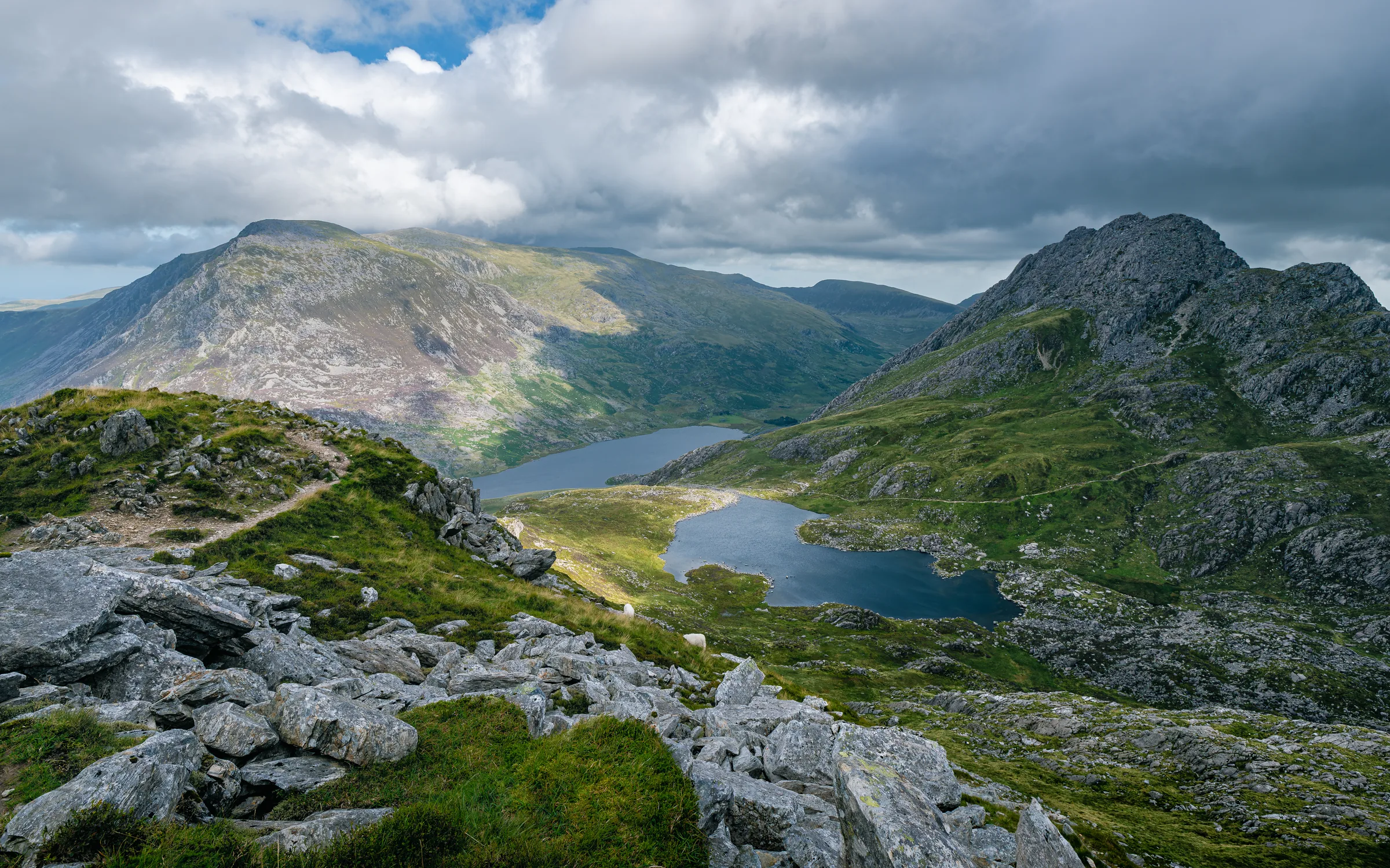
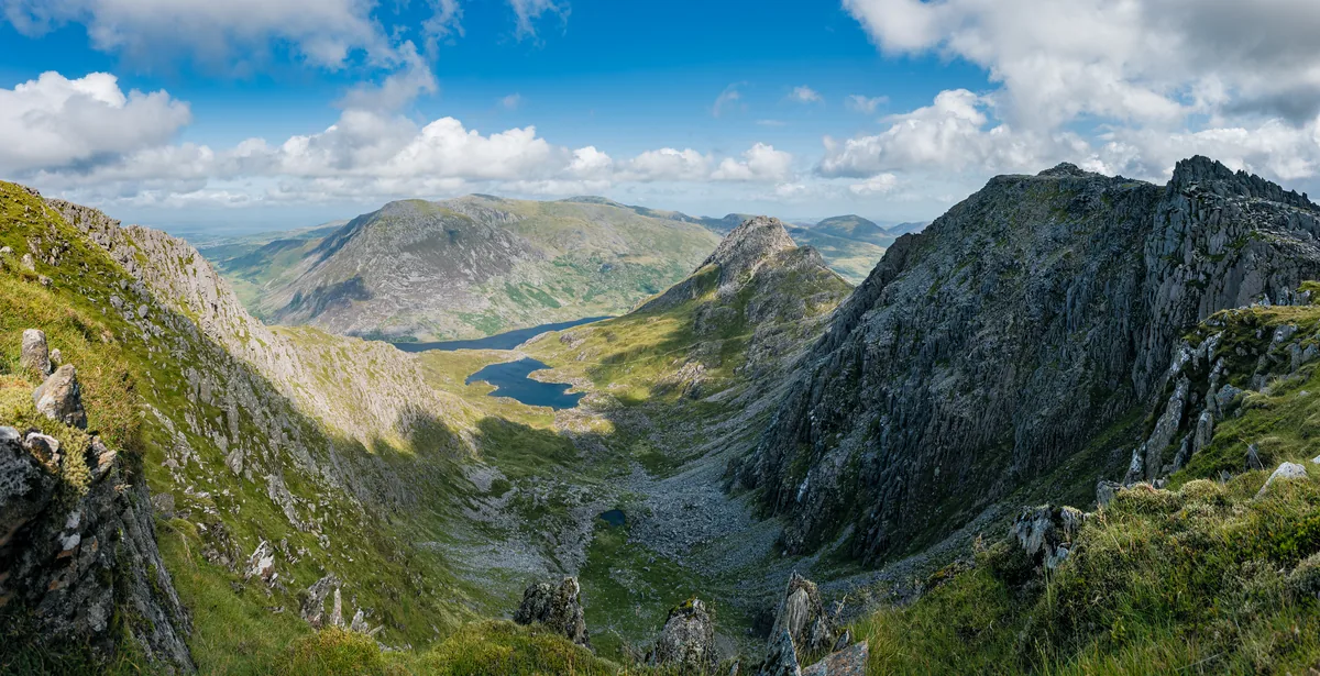 Llyn Bochlwyd and Y GribinHero photo · by Julian Herzog, Wikimedia CommonsOriginal photoCC BY 4.0 licence
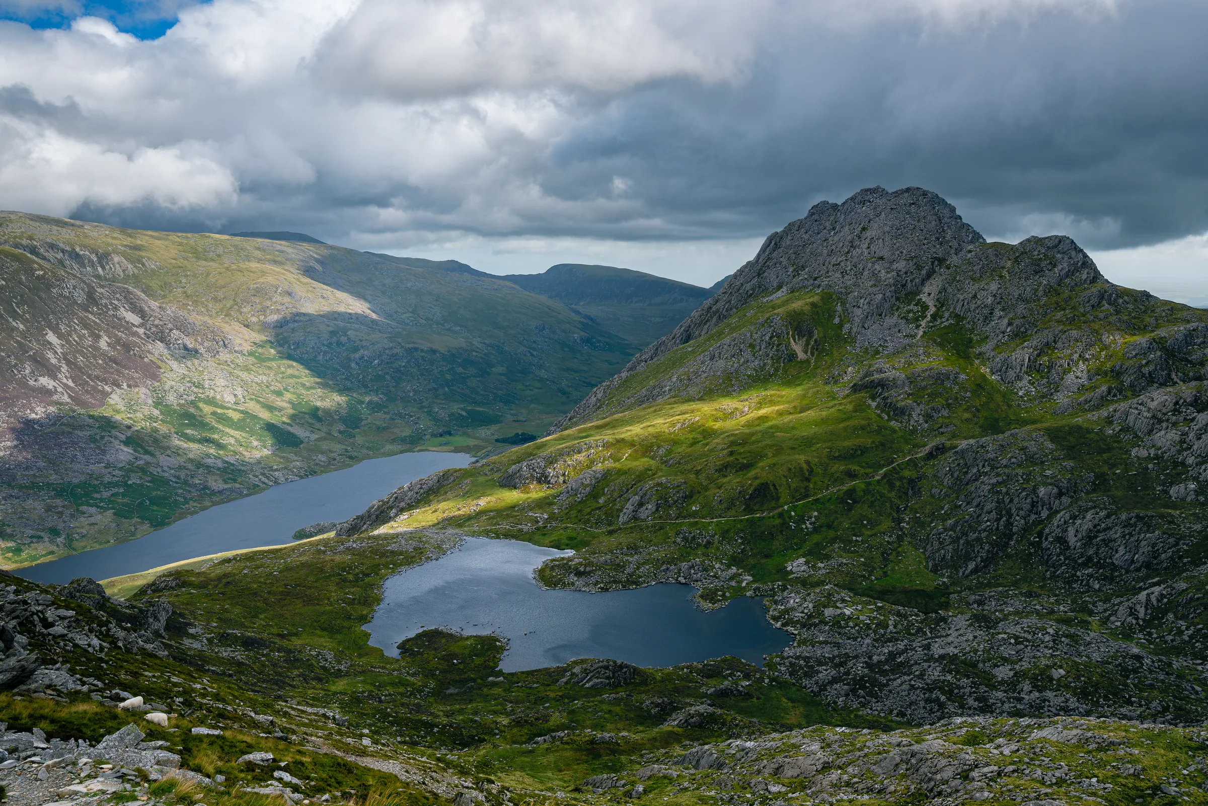
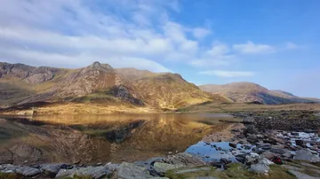 Llyn Idwal in the Glyderauby I Love Colour, Wikimedia Commons (Geograph)Original photoCC BY-SA 2.0 licence
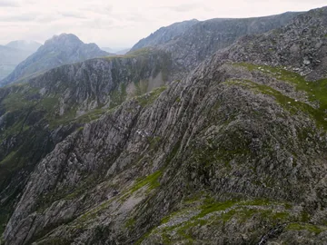
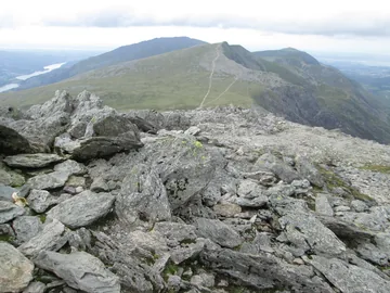
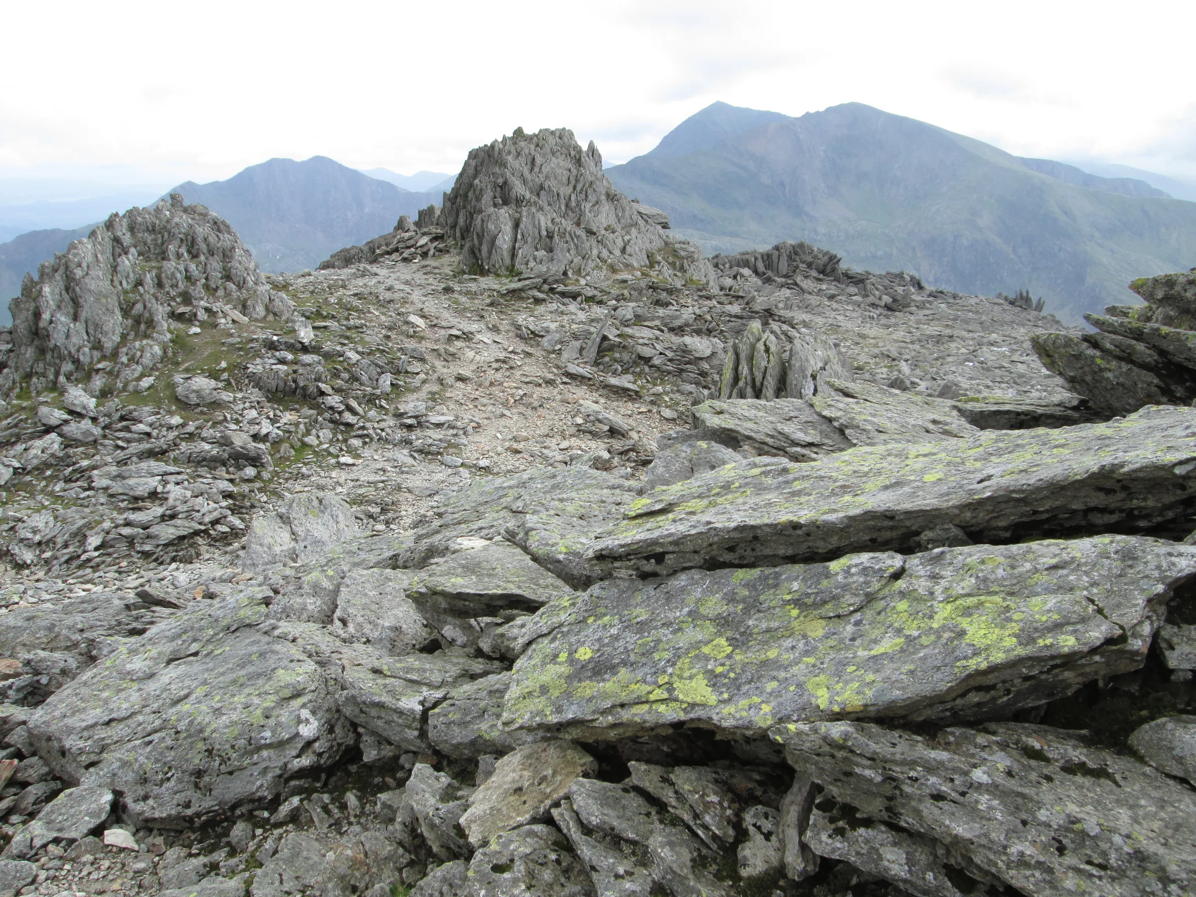
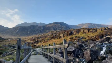
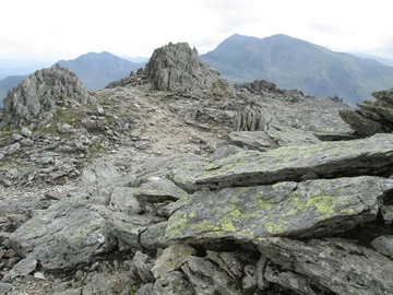 The Snowdon range from Glyder Fawrby Peter S, Wikimedia Commons (Geograph)Original photoCC BY-SA 2.0 licence
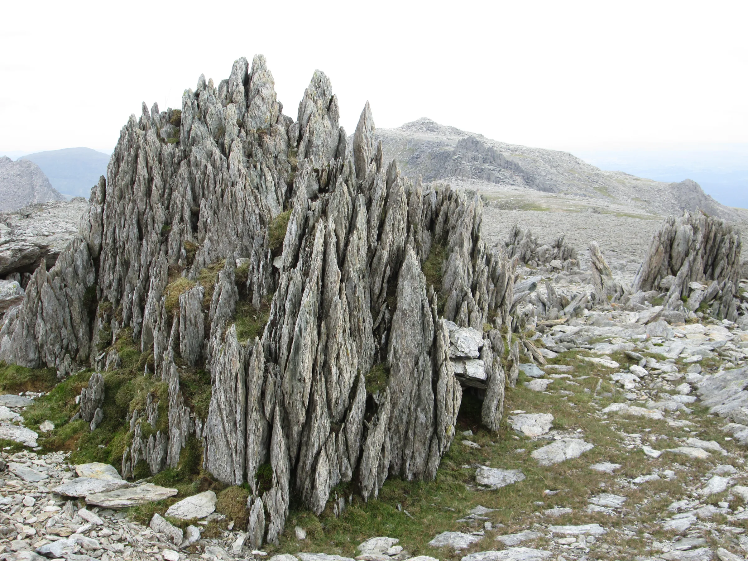
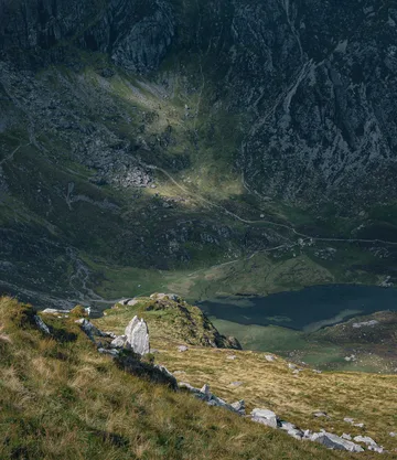
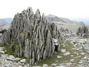 Spiky rocks on Glyder Fawrby Peter S, Wikimedia Commons (Geograph)Original photoCC BY-SA 2.0 licence
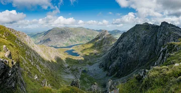
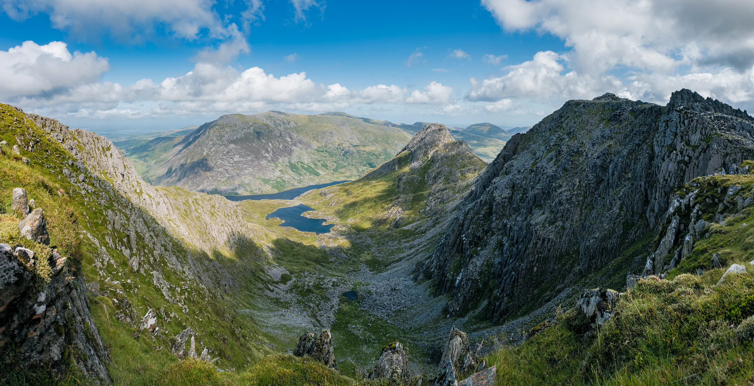
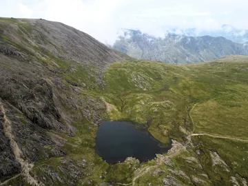
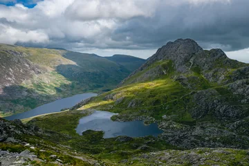 Llyn Bochlwyd, Tryfan and Pen yr Ole Wenby Julian Herzog, Wikimedia CommonsOriginal photoCC BY 4.0 licence
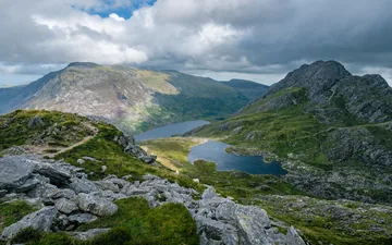 Llyn Bochlwyd, Tryfan and Pen yr Ole Wenby Julian Herzog, Wikimedia CommonsOriginal photoCC BY 4.0 licence
Hints & Tips
Y Gribin's Rocky Crest
The top of Y Gribin, from about 3.0 to 3.3 miles, is a Grade 1 scramble: easy rock, but you'll use your hands and there's some exposure. The steep side is the Cwm Bochlwyd side, so stay a little to the left on the way down. If you'd rather not scramble, go back the way you came, down the scree to Llyn y Cŵn and the steps beside the Devil's Kitchen.
Follow the Rim in Mist
Glyder Fawr's top is broad and stony, and in cloud it's easy to lose the way to Y Gribin. Keep close to the edge of the cliffs on your left as you head east from the summit, and download the route before you go, as the ridge starts at about 3.0 miles.
Wet Steps by the Kitchen
The stone steps beside the Devil's Kitchen can be slippery in the wet, and after heavy rain the stream you cross on the way to them can be harder to cross, so allow extra time and take care on the rock.
The Scree Pull
Between Llyn y Cŵn and the summit you climb about 250m in half a mile on a steep, loose scree path. Take it steadily, keep your feet on the trodden line, and watch out for stones knocked down by people above you.
Card Only, Day Ticket
The Ogwen car park takes chip and pin or contactless only, with no cash. The 4-hour ticket (£3) is too short for most people on this walk, so pay £6 for the day. If the car park is full, don't stop on the A5's double yellow lines: use one of the car parks in Alternative Parking.
Snacks Before Four
The snack bar in the Cwm Idwal Centre, by the car park, sells drinks, pasties and local cakes, but it's usually open only from 9AM to 4PM (longer in summer, weekends only in January). There's nothing on the hill, so stock up before you set off.
Interesting Facts
General
A Heap of Stones
The scholar Sir Ifor Williams suggested that Glyder comes from a Welsh word for a heap of stones, and with fawr meaning big, the name is usually translated as big heap or big lump
Top of the Range
Glyder Fawr is the highest of the Glyderau, the range that runs from Elidir Fawr in the west to Tryfan in the east, divided from Snowdon by the Llanberis Pass
Paid in Death Duties
The National Trust took over the Glyderau and Carneddau in 1951, given in payment of death duties on the Penrhyn Estate; about half of the 7,000 hectares is common land with grazing rights
Ice in the Kitchen
In a hard winter the waterfall inside the Devil's Kitchen, Twll Du in Welsh, freezes into a 30m ice climb
The Devil Is Cooking
The black slit in the cliffs at the back of Cwm Idwal is Twll Du, Welsh for black hole. A plume of steam often drifts out of it, rising from the crack as if from a chimney, and that is how it got its English name.
The old story is that when steam is coming out of the chimney, the Devil is at home cooking in his kitchen. The real cause is less sinister: moist air blowing in against the rock face is pushed upwards through the cleft, cools and condenses into cloud. On this walk you climb the stone steps right beside it, so if it's smoking, you'll be walking past the Devil's stove.
The Mountain That Grew
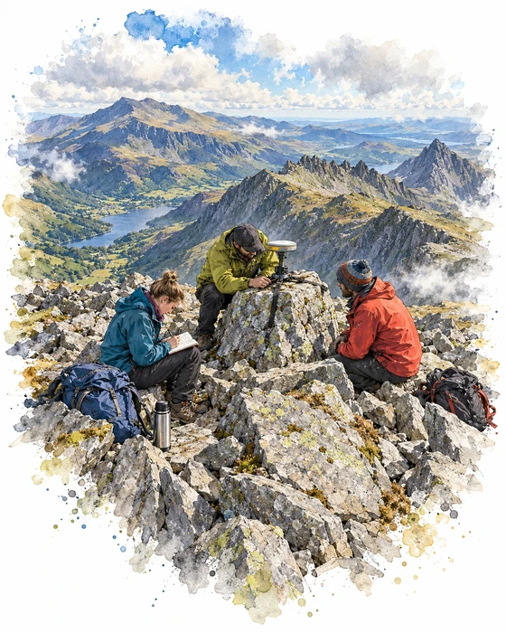
For years Glyder Fawr sat on Ordnance Survey maps at 999m, just one metre short of 1,000m. On 16 August 2010 three surveyors, Graham Jackson, John Barnard and Myrddyn Phillips, who work together as G and J Surveys, set out from Ogwen at about 9:30AM to check it, helped by Pete and Kate Williams of the Gorphwysfa Club.
On the summit they used optical equipment to find the true highest point, then strapped a survey-grade GPS antenna to the top rock, level with its highest point. It recorded for four hours and collected more than 500 height readings, which were later worked through using correction data from Ordnance Survey. The answer was 1,000.8m.
The result was announced at a press conference in Maentwrog on 21 September 2010 and accepted by Ordnance Survey. It made Glyder Fawr the fifth summit in Wales over 1,000m, after Snowdon, Crib y Ddysgl, Carnedd Llewelyn and Carnedd Dafydd, and because England has none, one of only five south of the Scottish border. The surveyors pointed out that it was still the same mountain, but the Welsh 1,000m Peaks Race now had a problem: its route from Aber to Snowdon would need a big detour west to take in the newcomer.
More Hikes
 HardSnowdon (Llanberis Path)9.3 mi · 6–7 hrs · 975m
 ModerateAberglaslyn & Llyn Dinas5.8 mi · 3–5 hrs · 330m
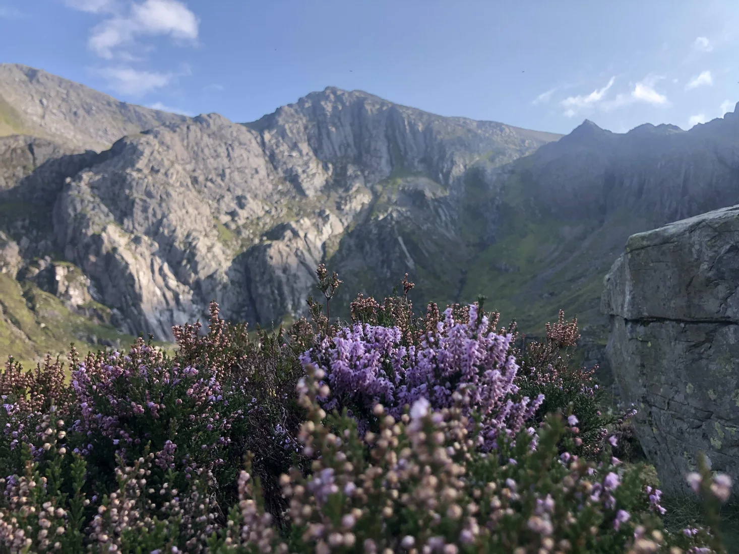 ModerateCwm Idwal3.1 mi · 1.5–2.5 hrs · 240m
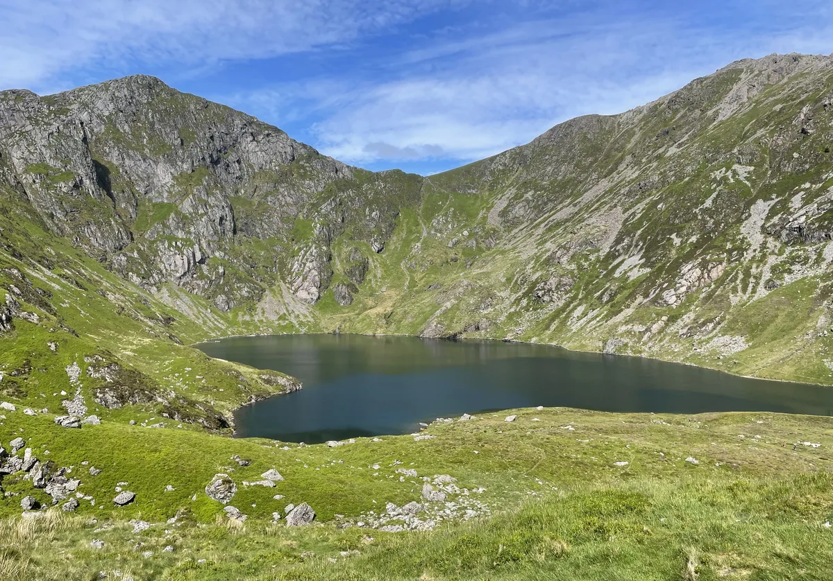 HardCadair Idris6.3 mi · 5–6 hrs · 925m
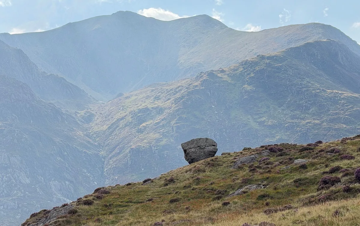 HardMoel Siabod6.2 mi · 4–5 hrs · 730m
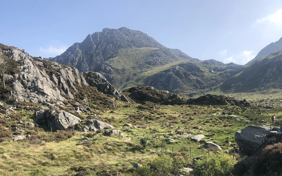 HardTryfan3.5 mi · 3½–4½ hrs · 613m
Subscribe for updates on new hikes and National Parks
One email a month with new hikes and routes. No spam.