



Contents
Overview
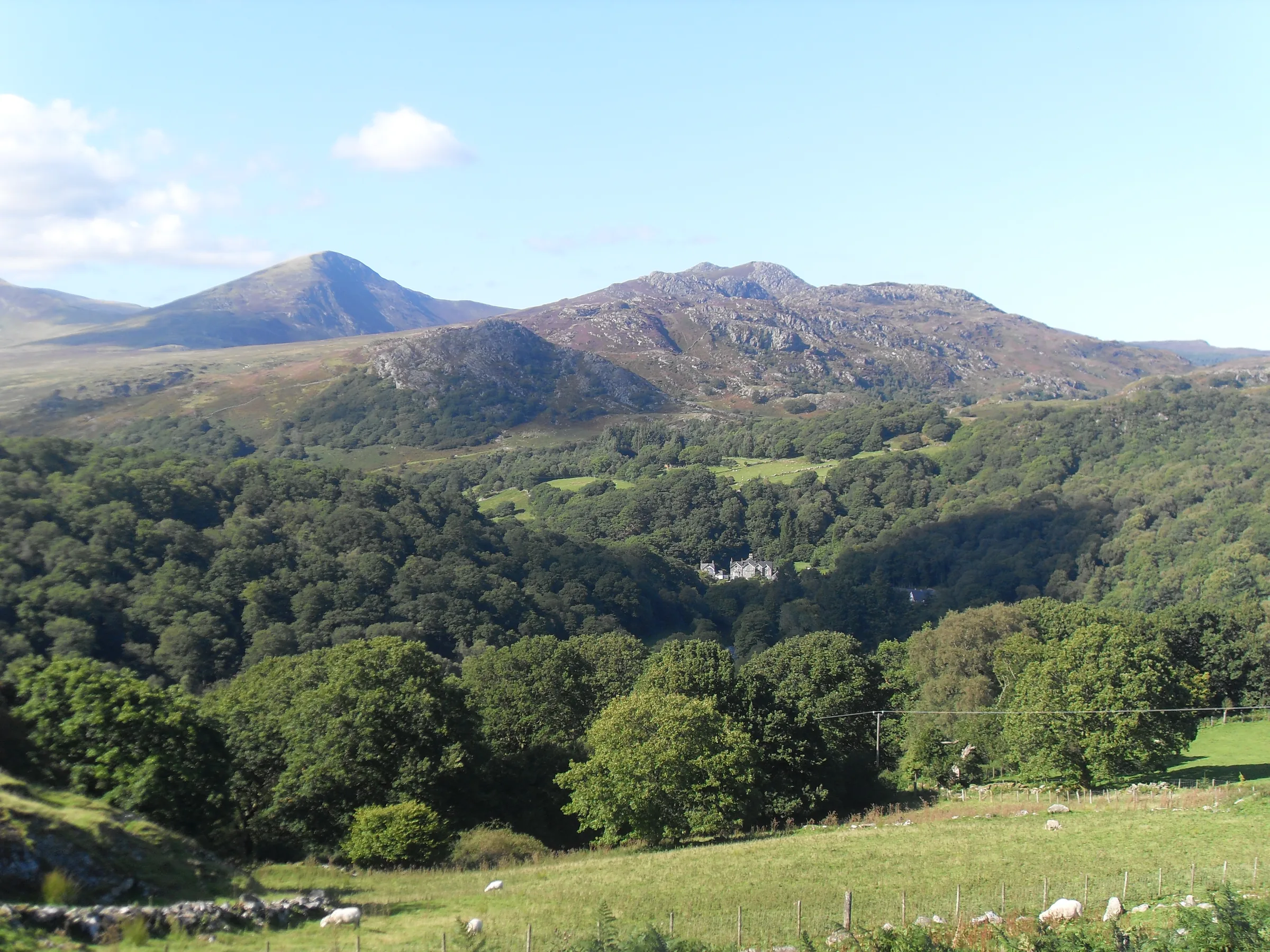
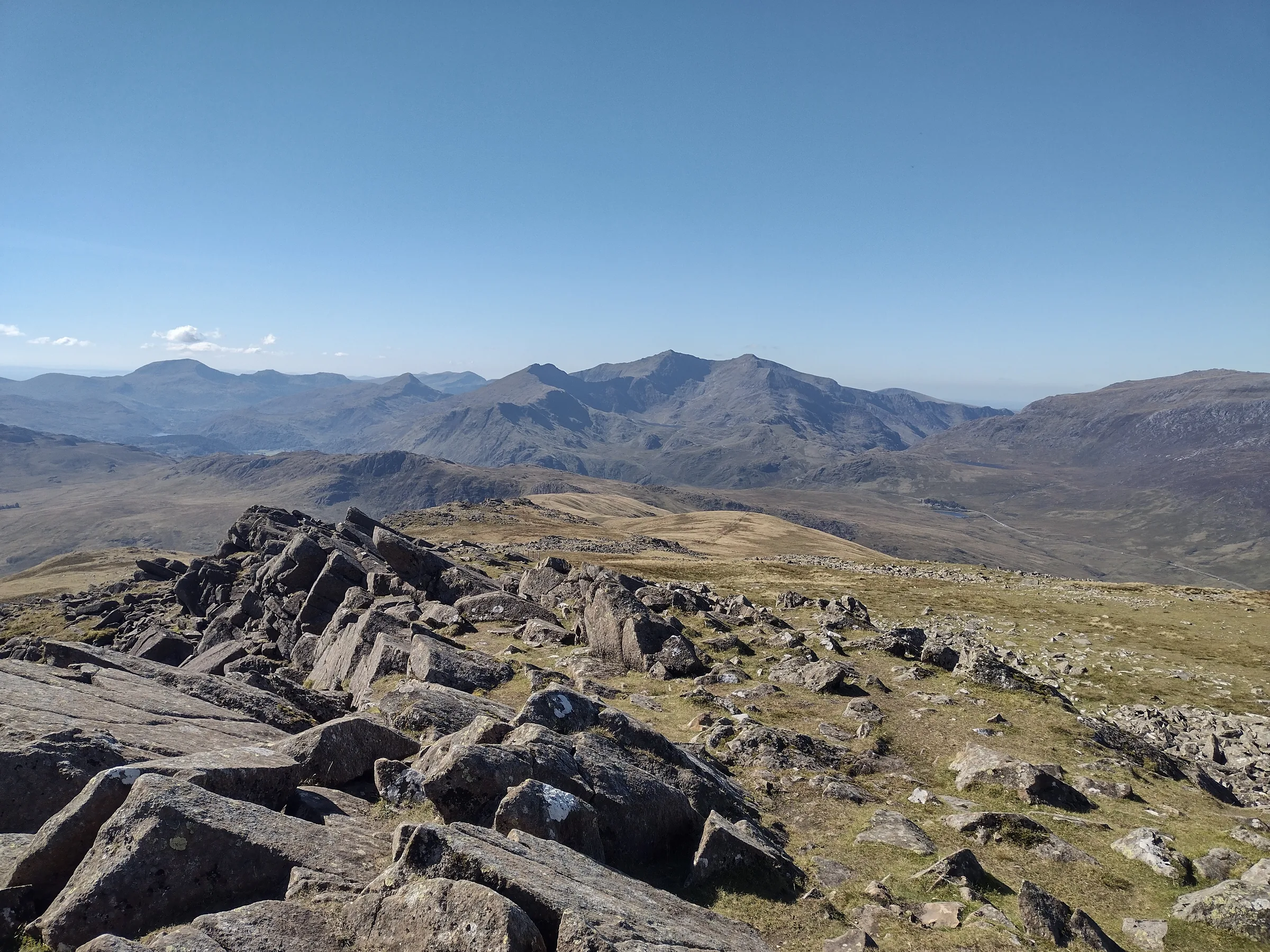
On a clear day, at least 12 of the 15 Welsh peaks over 3,000 feet are in view from the top of Moel Siabod, all within a quarter turn between west and north. At 872m it's the highest of the Moelwynion, but it stands on its own above Capel Curig and Dolwyddelan, so on a clear day Snowdon, Tryfan, the Glyderau and the Carneddau all line up across the valleys. Its eastern side hides more than you'd guess from the road: old slate quarries, a lake tucked into a hanging valley, and Daear Ddu, a rocky ridge that makes a great first scramble.
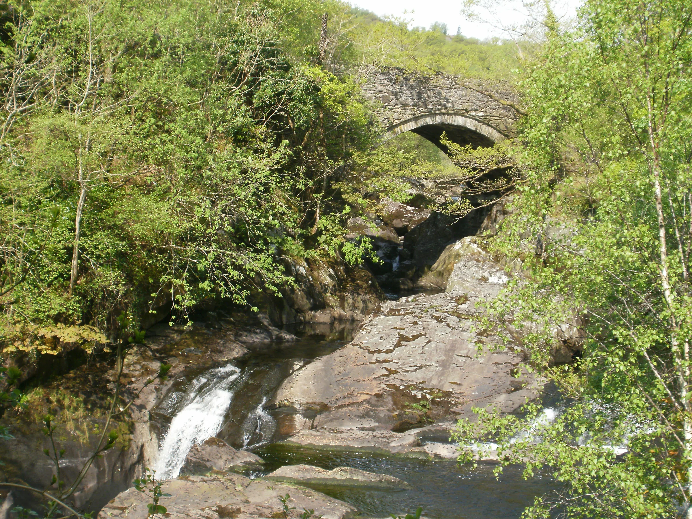
Pont Cyfyng's old stone bridge over the Afon Llugwy is the way in. From the free Bryn Glo car park on the A5, the loop crosses the river, climbs a steep lane and then follows a path south-west up the mountain's eastern flank, past old slate workings and the flooded pit of Foel Quarry, to Llyn y Foel. From the south end of the lake you climb the Daear Ddu ridge, a Grade 1 scramble where you'll need your hands on the rock (the hardest moves can be avoided on the left), straight up to the summit trig point. The way down follows the long north-east ridge, rocky at first and then a steep, loose gully, before rejoining the outward path for the walk back to Pont Cyfyng. This walk takes in one Pennant: Moel Siabod. Find all 136 on our Pennants map.
Go prepared, stay safe,
and enjoy the hike!
Key Info
Crowds
Moderate
The route from Pont Cyfyng is a popular way up Moel Siabod, and the main pinch point is parking: Bryn Glo has only around 20 free spaces and fills quickly in summer.
When it gets busy
- Summer, when the free spaces at Bryn Glo fill quickly
For a quieter walk
- Arrive early to get a space at Bryn Glo
- If Bryn Glo is full, use the large lay-by on the A5 nearby
Our crowd rating is for a typical sunny weekend in spring or summer, in the middle of the day. Timing makes a big difference, so even a busy walk can be quiet early, late or midweek.
The Route
Disclaimer: Route information and GPX files are provided for general guidance only. Conditions can change, so always use your own judgement and navigate responsibly. See our Terms of Use & Disclaimer for more information.
Route Guide
- 1
Over Pont Cyfyng0.6 mi · 100m upFrom Bryn Glo car park, cross the A5 and walk west beside it for about 200m to the lane on the left, then cross the old stone bridge over the Afon Llugwy, passing the falls below it. Follow the lane round to the left and take the steep tarmac lane marked Private Road. You can walk up it: it's also the signed footpath to Moel Siabod, so just don't drive up it. Near Rhos farm a signed footpath diversion leaves the lane and takes a made path round the farm, then rejoins it. The tarmac ends by Siabod Cottage at about 0.6 miles.
- 2
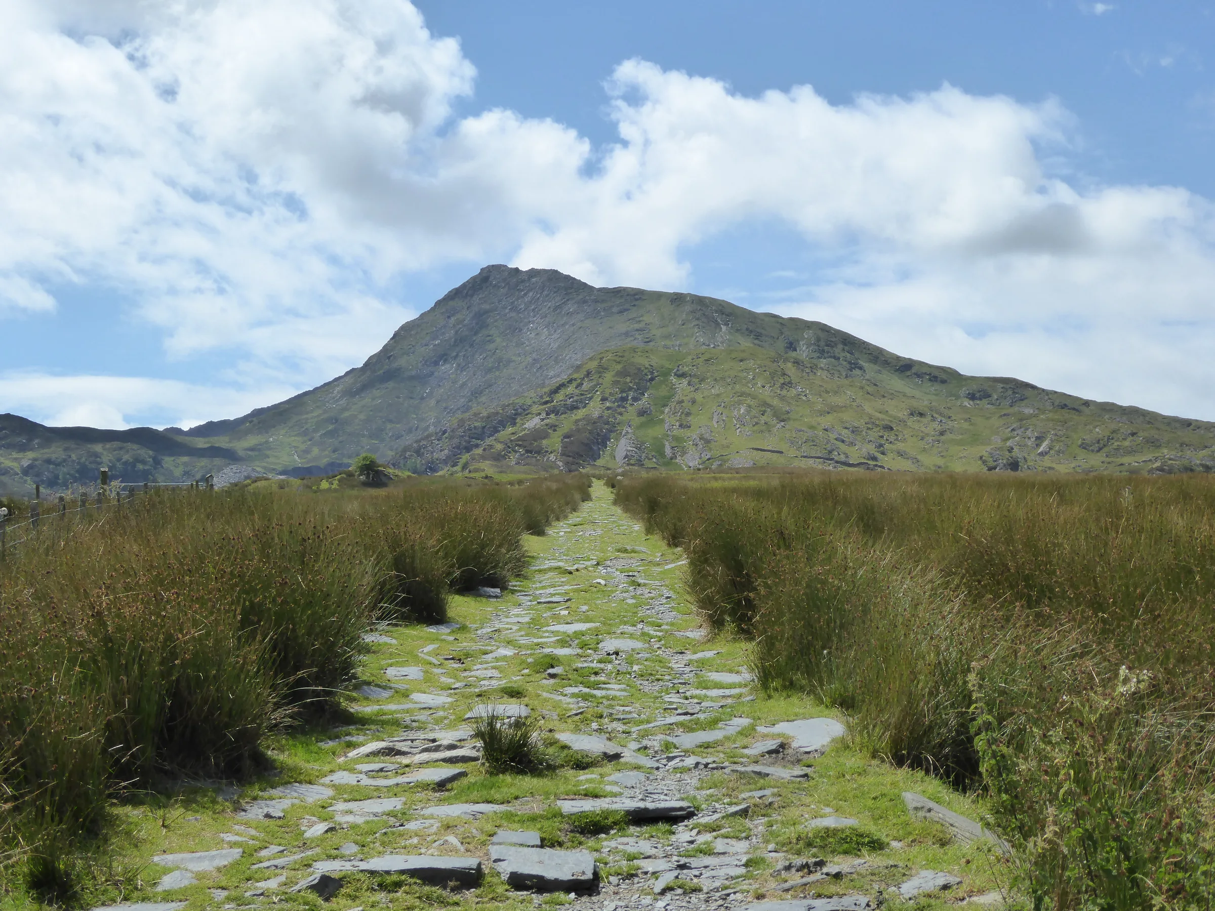
Up Past the Old Quarries1.5 mi · 310m upThe path climbs steadily south-west across open hillside. It isn't always signposted but is easy to follow. It passes a small reservoir and the ruins of old slate workings, then at about 1.75 miles reaches the flooded pit of Foel Quarry with its spoil heaps. Keep climbing to a grassy saddle at about 2.1 miles.
- 3
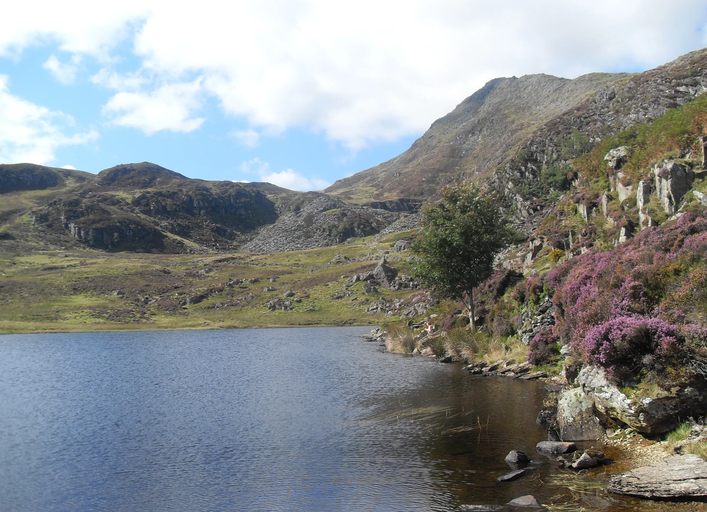
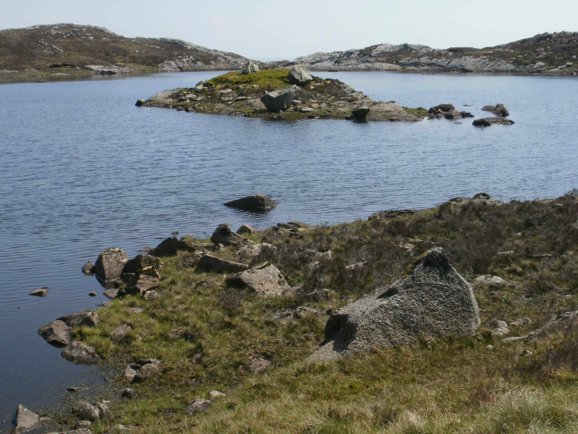
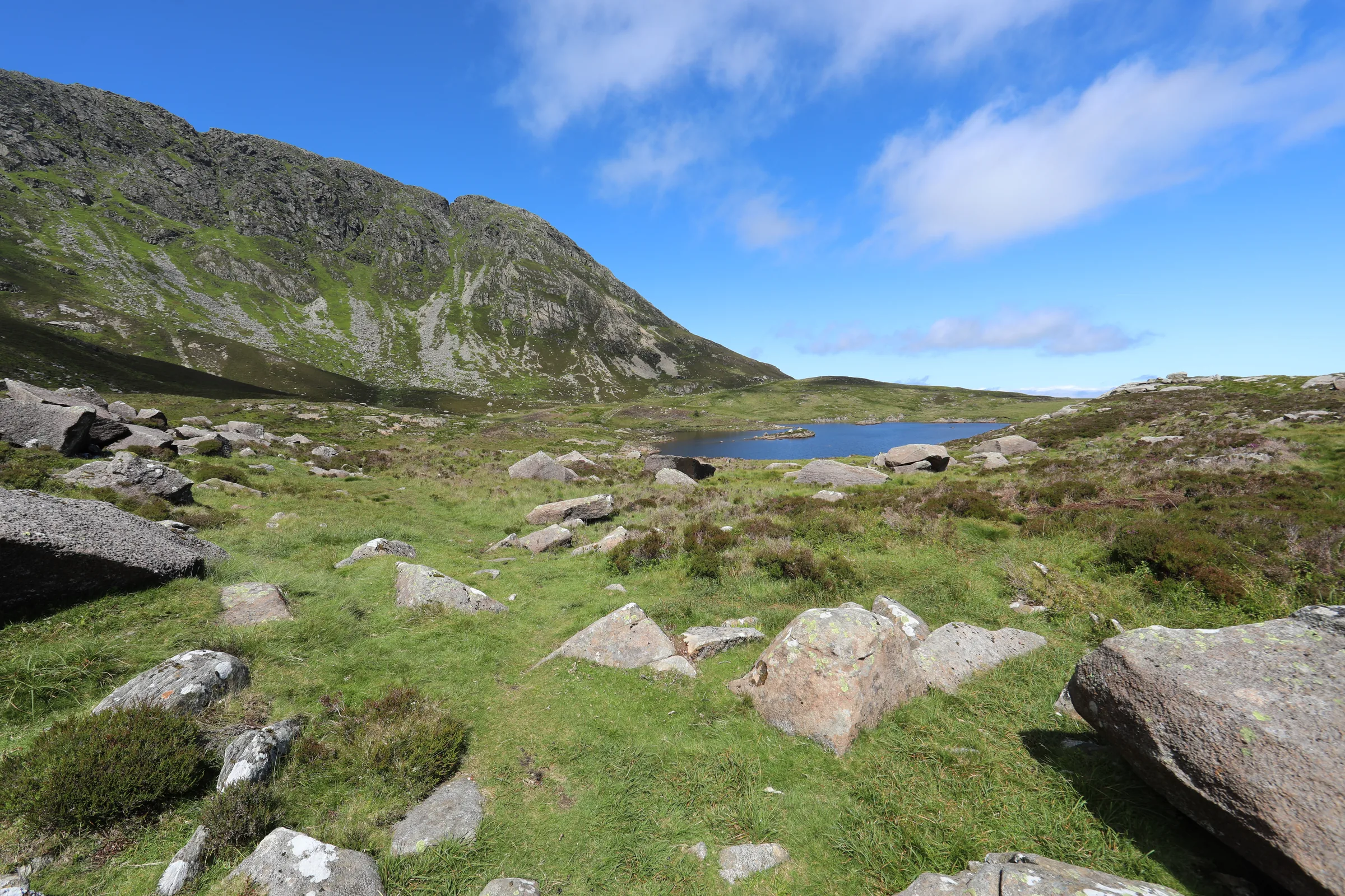
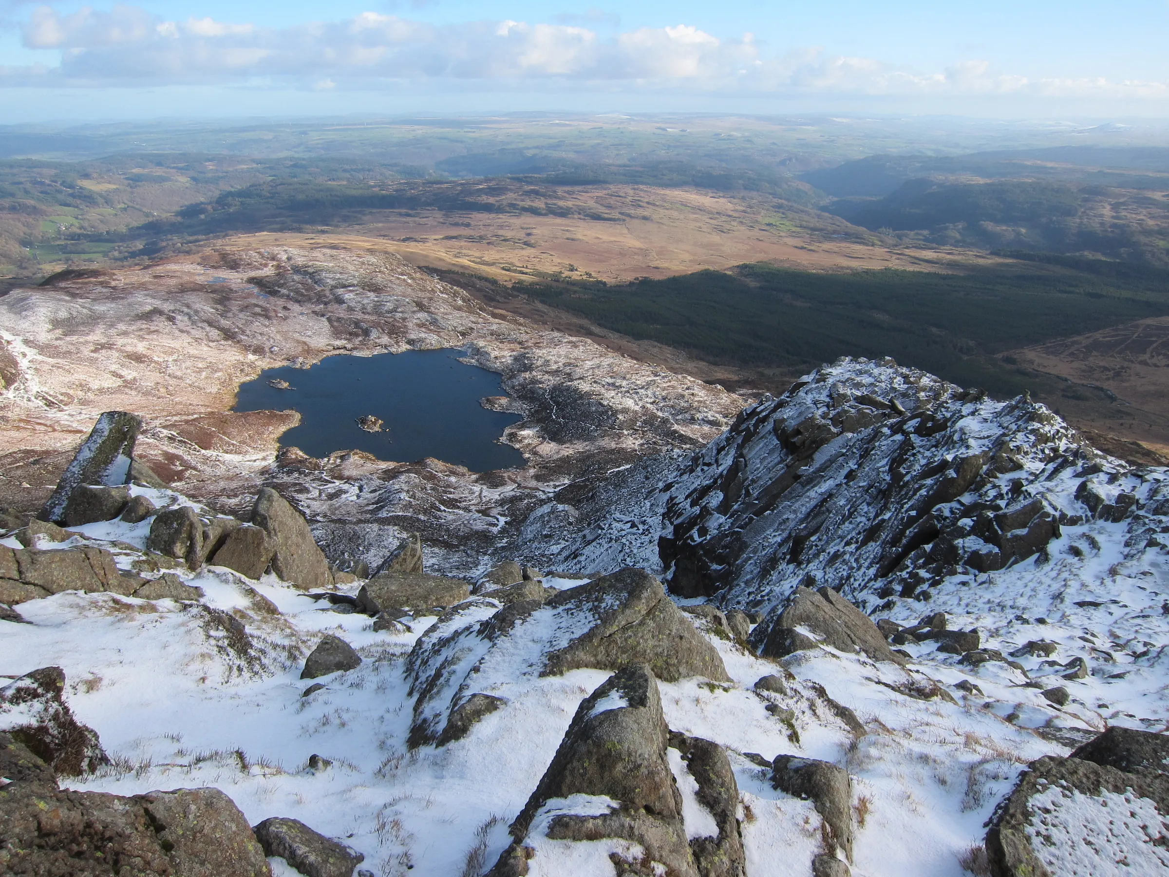
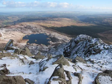
Round Llyn y Foel0.6 mi · 35m up · 30m downDrop gently to Llyn y Foel, below the steep south-east face of the summit ridge, and follow the path round the lake's eastern side; the ground on its north side is often boggy. At the south end of the lake, at about 2.7 miles, the path turns sharply right onto the foot of the Daear Ddu ridge.
- 4
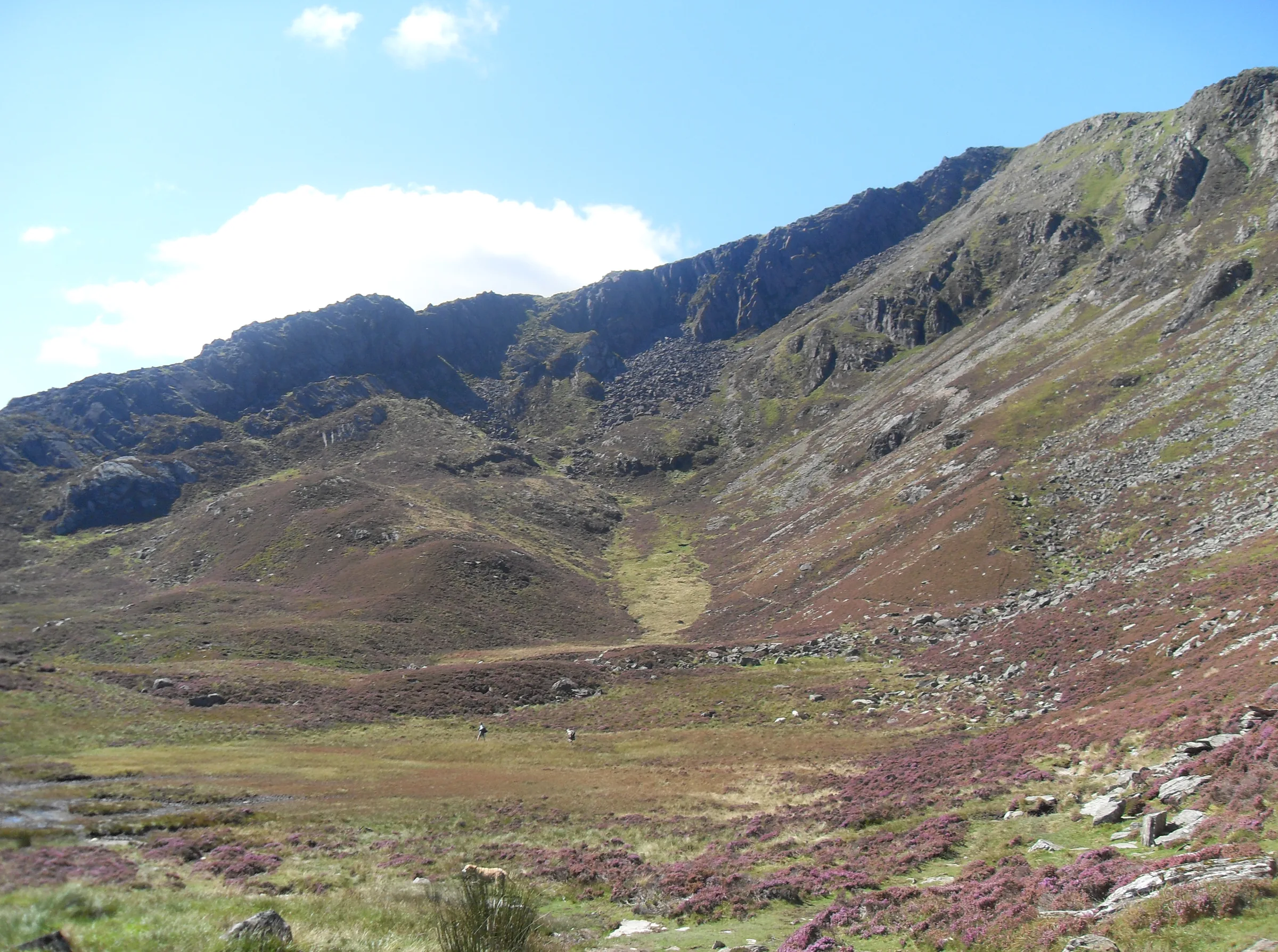
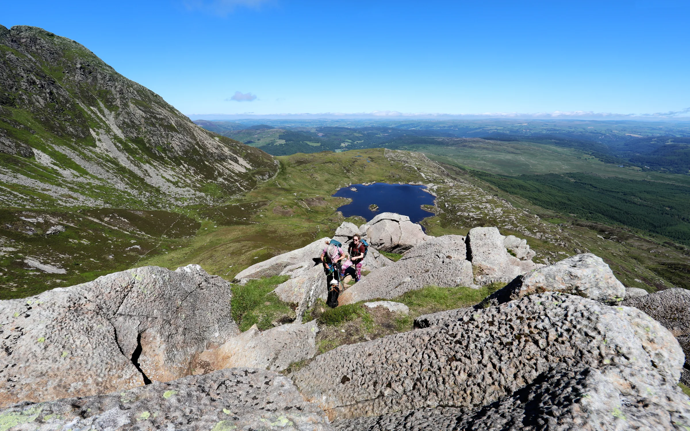
Scramble Up Daear Ddu0.7 mi · 285m upThis section is a scramble. Daear Ddu is a Grade 1 scramble, gaining about 285m in 0.7 miles, with plenty of hands-on rock along the crest. The hardest parts can be avoided on the left, where the going gets easier the further left you go, and about three-quarters of the way up keep left of an exposed crack. Cross a stile at a fence, and the trig point on the 872m summit stands in the rocks just beyond, with a circular stone shelter nearby.
- 5
Along the North-East Ridge0.9 mi · 180m downHead north-east along the summit ridge past the shelter, keeping to the path on the right. The ridge is bouldery at first, with steep drops on your right, then becomes a muddier track with views down over Capel Curig.
- 6
Down the Steep Gully0.8 mi · 315m downAt the rocky end of the ridge the path drops steeply. Between about 4.3 and 4.5 miles it loses around 115m down a gully of loose rock and scree, which is very slippery when wet. The path then eases, crosses a wooden stile, and rejoins the outward path at about 5.1 miles.
- 7
Back to Pont Cyfyng1.1 mi · 210m downFollow the outward path back down the hillside, past Siabod Cottage and down the steep lane, over the bridge at Pont Cyfyng and back along the A5 to Bryn Glo.
Use the route on OS Maps, AllTrails or Komoot to navigate on the day; this guide is for planning.
Parking
The walk starts from Bryn Glo car park on the A5 at Pont Cyfyng, about a mile east of Capel Curig (LL24 0DT; postcodes here cover a wide area, so use the Directions button above). It's free, with around 20 spaces, and it fills quickly in summer, so arrive early. If it's full, there's a large free lay-by on the A5 about 100m east (see Alternative Parking). There are no toilets, and the Moel Siabod Café that used to stand opposite closed in January 2024, so come ready to go.
*Parking details correct at time of writing; check before you travel.
Alternative Parking
Facilities & Hospitality
On the A5 about a quarter of a mile west of Bryn Glo, this independent inn serves food, has 14 letting rooms and Wi-Fi, and welcomes dogs on leads.
A 200-year-old coaching inn at the top end of Capel Curig, under a mile west of the start, with 12 rooms. Since early 2024 it has been a hotel only, so the bar is open to residents.
Weather
Hike Videos
Note: Videos are made by other walkers, not The Lost Peak. They may not follow this exact route, and paths, conditions and facilities may have changed since filming.
Photo Gallery
Photos
Photo credits
Photos without a credit are our own. These are used under Creative Commons licences; thank you to the photographers.
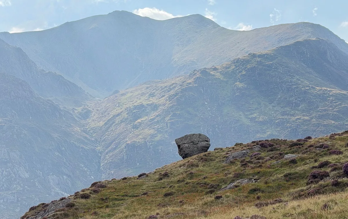
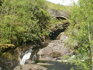
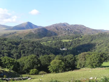
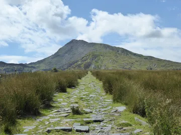
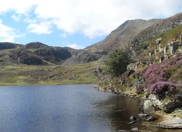
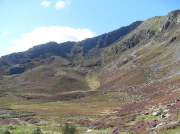
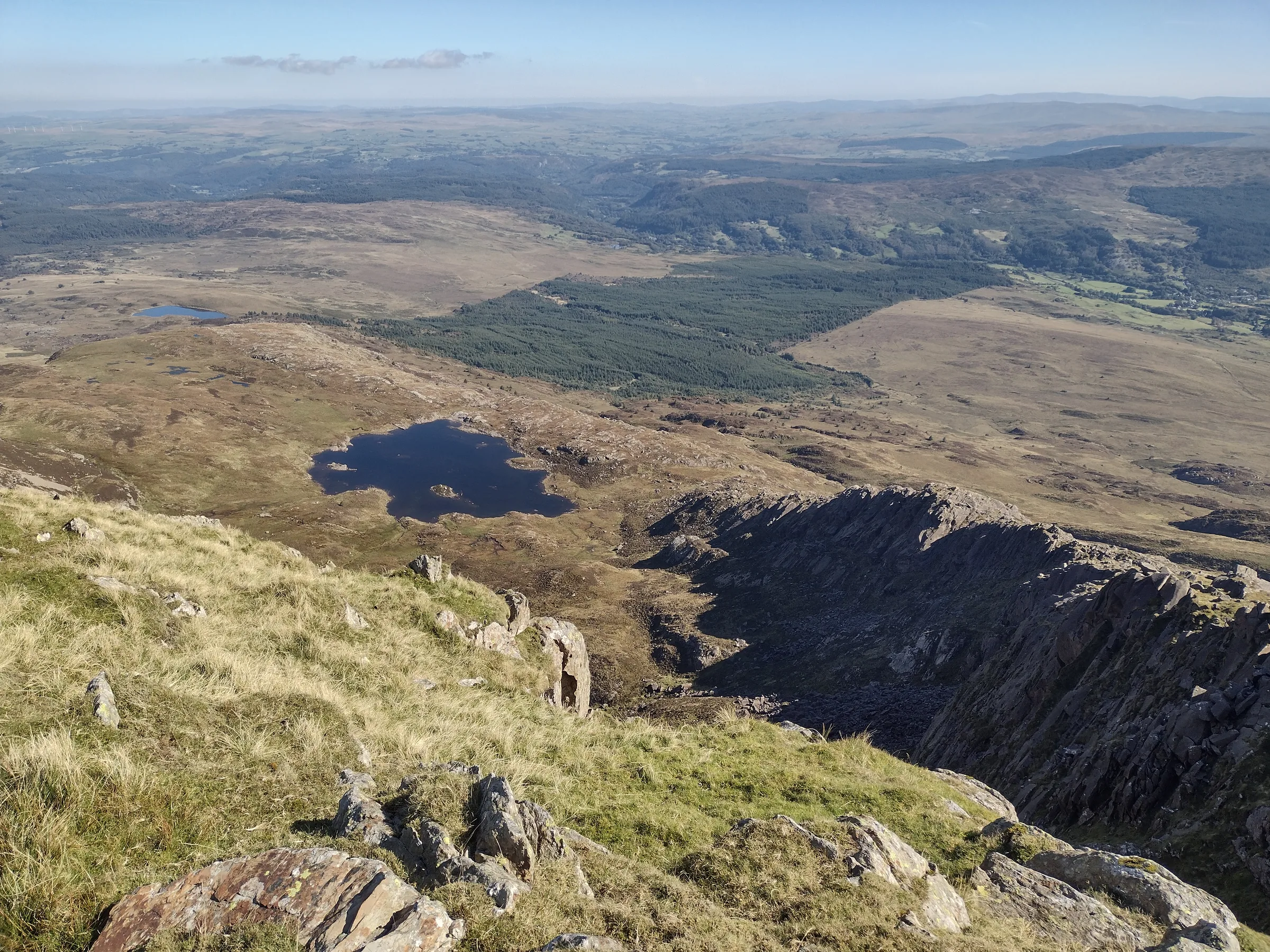
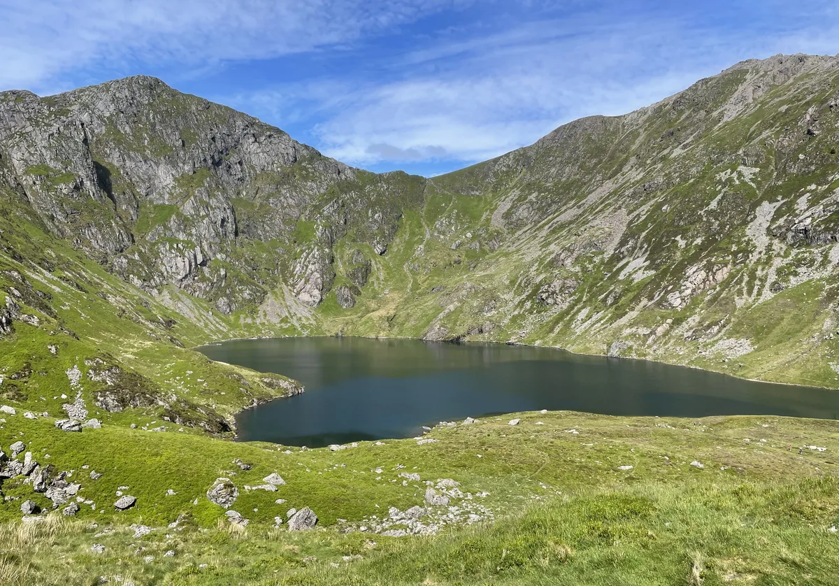
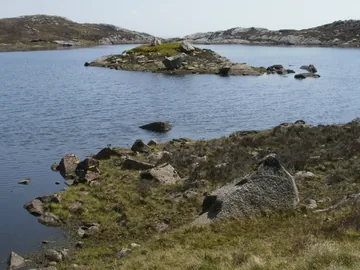 Llyn y Foel below Moel Siabodby Peter S, Wikimedia Commons (Geograph)Original photoCC BY-SA 2.0 licence
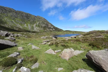
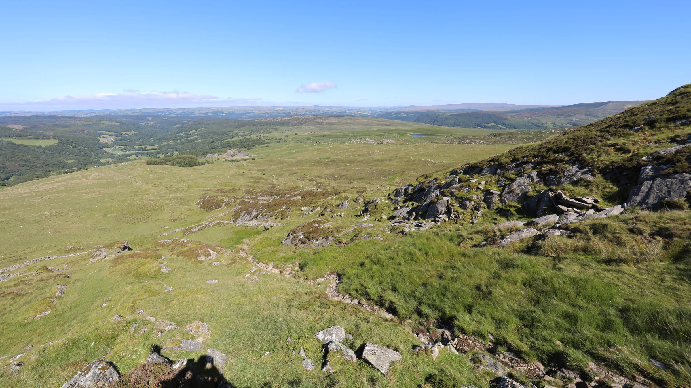
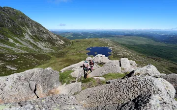 Early on the south-east ridgeby Andy Waddington, Wikimedia Commons (Geograph)Original photoCC BY-SA 2.0 licence
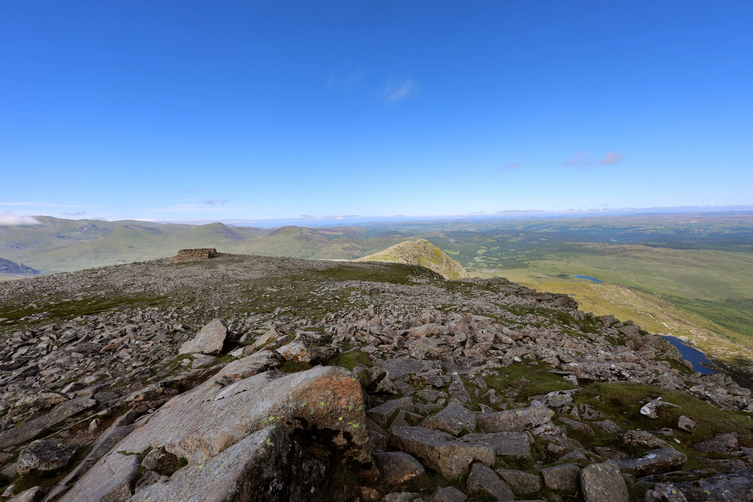
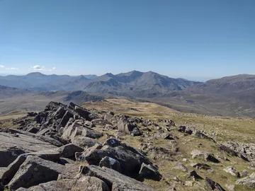 The summit, looking towards Snowdonby Colin Park, Wikimedia Commons (Geograph)Original photoCC BY-SA 2.0 licence
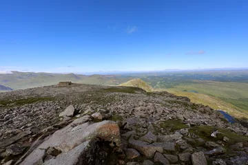 Carnedd Moel Siabod, the summitby Andy Waddington, Wikimedia Commons (Geograph)Original photoCC BY-SA 2.0 licence
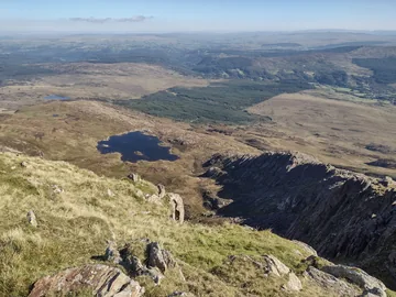 The summit, looking down to Llyn y Foelby Colin Park, Wikimedia Commons (Geograph)Original photoCC BY-SA 2.0 licence
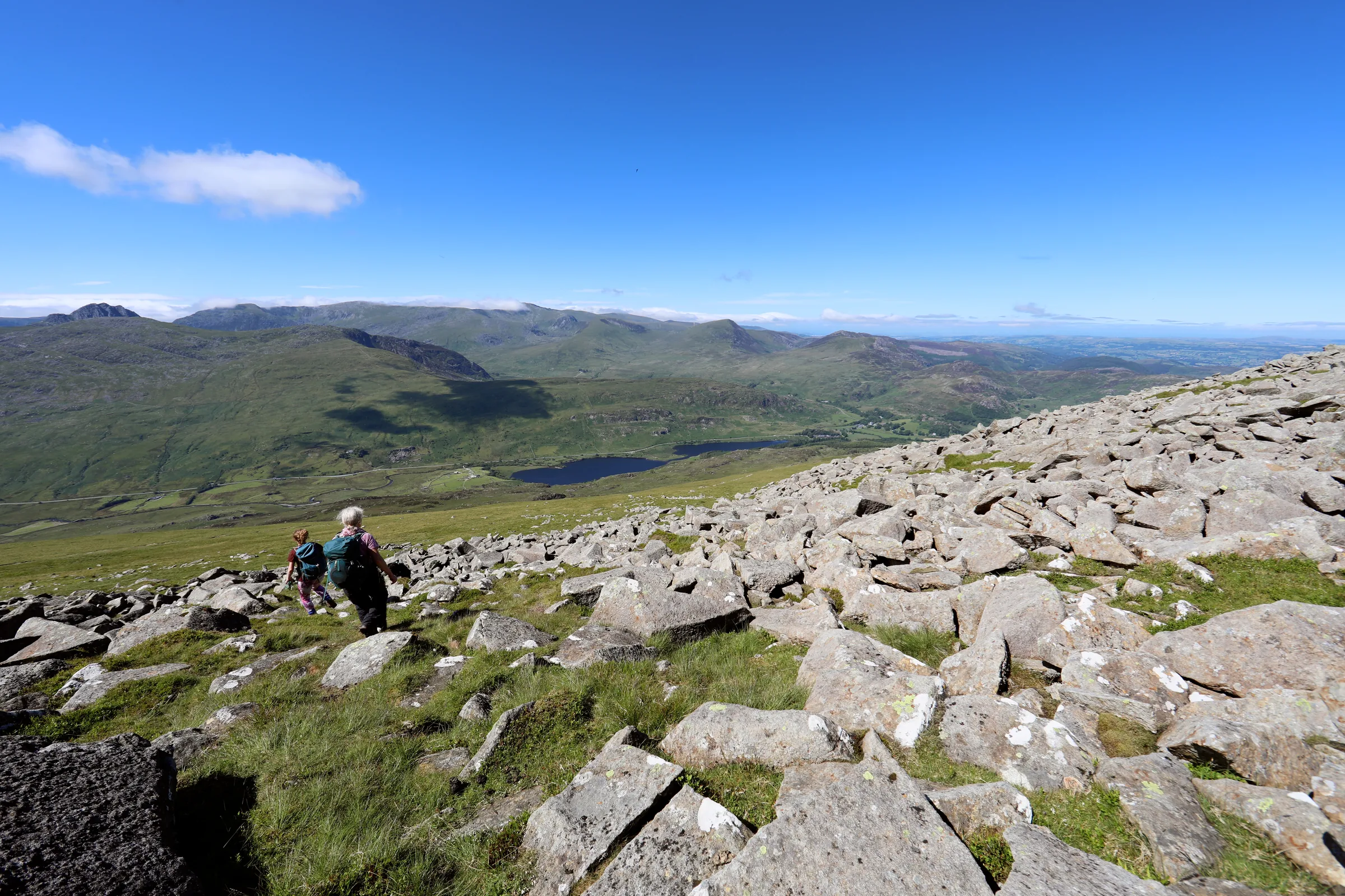
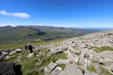 Descending from Moel Siabodby Andy Waddington, Wikimedia Commons (Geograph)Original photoCC BY-SA 2.0 licence
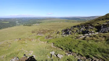 The north-east ridgeby Andy Waddington, Wikimedia Commons (Geograph)Original photoCC BY-SA 2.0 licence
Hints & Tips
Scramble, or Skirt It
Daear Ddu is a Grade 1 scramble: from about 2.7 miles you'll be using your hands on rock for much of the 0.7 mile climb to the summit. You can avoid the hardest moves by keeping left, where the going gets easier the further left you go, and about three-quarters of the way up it's worth staying left of an exposed crack on the right.
Wet Ground by the Lake
Expect wet feet on the way to Llyn y Foel. The path up from Pont Cyfyng often turns into a stream after rain, and the ground round the lake is boggy, especially on its north side, which is why this route goes round the eastern shore.
Loose Gully on the Descent
Below the rocky end of the north-east ridge, between about 4.3 and 4.5 miles, the path drops around 115m down a steep gully of loose rock and scree. It's very slippery when wet, so take it slowly; it eases off before the stile and the outward path.
Mist on the Summit
Mist turns the broad top of Moel Siabod into a confusing place, and in poor visibility you may need a compass bearing to find the way off. Take one from the trig point for the north-east ridge before you need it; the circular stone shelter sits close to the trig.
Small, Free Car Park
Bryn Glo has only around 20 free spaces and fills quickly in summer, so get there early. If it's full, there's a large free lay-by on the A5 about 100m east (see Alternative Parking).
The Café Has Closed
Older route guides still mention the café opposite the car park, but the Moel Siabod Café closed in January 2024. The nearest food is at the Tyn-y-Coed Inn, about a quarter of a mile west along the A5.
Interesting Facts
General
Not So Shapely
Moel Siabod is often translated as "shapely hill", but that's thought to be wrong: in 1802 William Williams suggested it came from siadod, a bare hill crowned with fresh snow, and in 1928 J. Lloyd-Jones argued for the Middle English "scabbed", a scarred mountain
12 Welsh 3,000s
On a clear day you can see at least 12 of the 15 Welsh peaks over 3,000 feet from the summit, all between west and north, from Snowdon round to Foel-fras
A Lake Held High
Llyn y Foel sits in a hanging valley at roughly 500m, walled in on two sides by the main summit ridge and the Daear Ddu ridge
Romans Down the Road
About 0.6 miles from Pont Cyfyng, on the farm of Bryn Gefeiliau, are the remains of a Roman fort from around AD 90–100, named Caer Llugwy by its excavators
The Quarries on Siabod's Flank
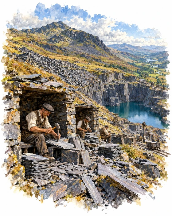
The path up from Pont Cyfyng climbs through what was once a busy corner of the Welsh slate industry. At about 1.75 miles it reaches the Moel Siabod Slate and Slab Works, known as Foel Quarry, one of two slate quarries on the Gwydir (Ancaster) Estate on the east side of the mountain. It may have been worked from the end of the 18th century and was certainly being developed in 1838 to 1840, then carried on in fits and starts until 1884.
What's left is a big flooded pit, heaps of slate waste, ruined buildings and old trackways. Look closely and you'll find a row of three-sided stone shelters where the quarrymen sat to split and dress the slate. They were recorded by students on an industrial archaeology course at Plas Tan y Bwlch.
Lower down, just off the route above Pont Cyfyng, is Rhos Quarry, a large pit that opened in the 1860s and ran on water power. A 30ft water wheel worked the haulage out of the pit and the mill had an 18ft wheel of its own; the mill at one time held 22 saws, a planer and mechanical dressers, and a De Winton locomotive worked the mill area from the 1880s until about 1930. In 1882, 45 men produced 1,285 tons of slate here, and 52 were still employed in 1937 to 1938. As late as 1935 a chain incline driven by a water wheel was put in, said to look more primitive than machinery installed eighty years earlier, and the quarry finally closed in the 1950s.
From Coaching Inn to Mountain Centre
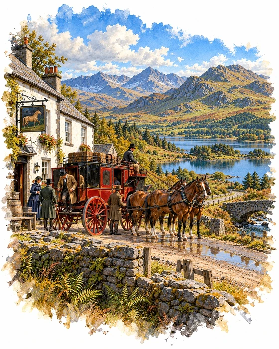
At the foot of Moel Siabod, a mile or so west of Pont Cyfyng, stands Plas y Brenin, and it began life as an inn. In the late 18th century Richard Pennant, Lord Penrhyn, built a road from Bangor through Nant Ffrancon to Betws-y-Coed, and in 1801 he built the Capel Curig Inn. He set it some distance back from the road, so guests could enjoy the view over Llynnau Mymbyr to the Snowdon Horseshoe.
From 1808 the mail coach from Holyhead to Shrewsbury ran through Capel Curig, until the Chester and Holyhead Railway put it out of business in 1848. Some time between 1869 and 1871 the inn became the Royal Hotel, and its guests over the years included Queen Victoria, Edward VII, George V and Edward VIII, as well as Lord Byron in 1813, Sir Walter Scott in 1818 and Sir Joseph Paxton, the designer of the Crystal Palace, in 1856. Some visitors scratched their names into the windows of what was then the cocktail bar, and they were still there into the 1970s.
In 1955 the hotel was renamed Plas y Brenin, "the King's Mansion", as a memorial to George VI, whose trust fund had bought it for the Central Council of Physical Recreation, and it opened as the Snowdonia National Recreation Centre. Today it's the National Outdoor Centre, run by the Mountain Training Trust on behalf of Sport England, and the most popular route up Moel Siabod, the gentlest of the three usual ways up, starts there and is used for guided walks.
More Hikes
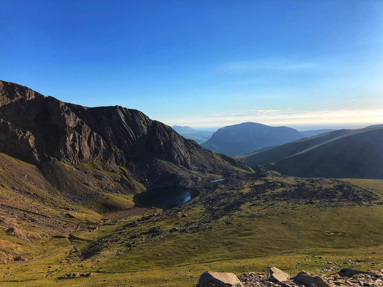 HardSnowdon (Llanberis Path)9.3 mi · 6–7 hrs · 975m
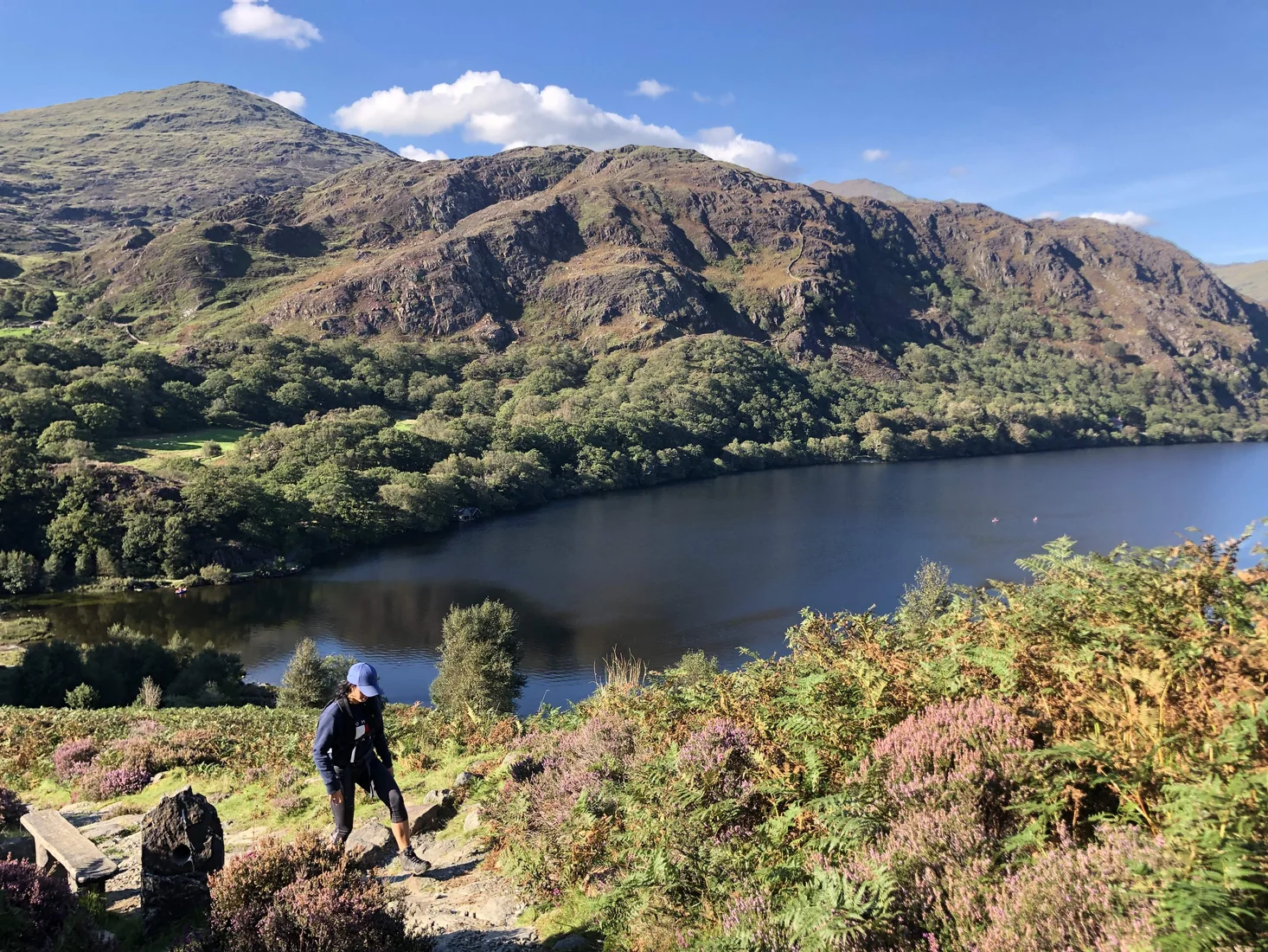 ModerateAberglaslyn & Llyn Dinas5.8 mi · 3–5 hrs · 330m
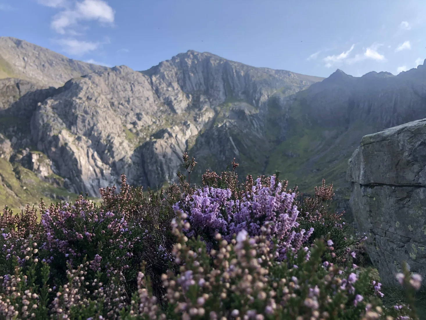 ModerateCwm Idwal3.1 mi · 1.5–2.5 hrs · 240m
 HardCadair Idris6.3 mi · 5–6 hrs · 925m
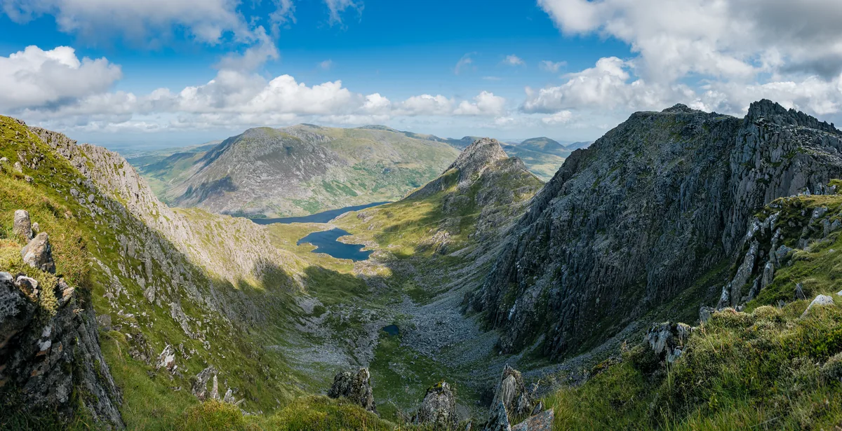 HardGlyder Fawr4.7 mi · 4–5 hrs · 691m
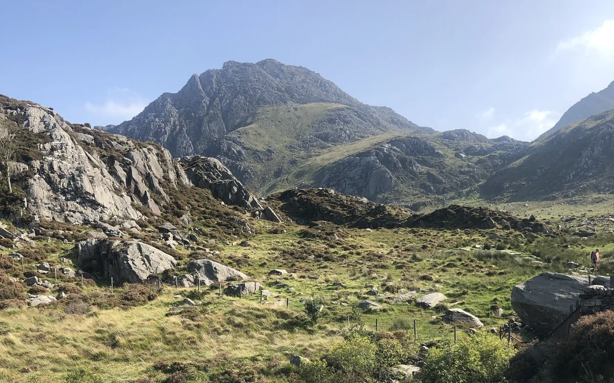 HardTryfan3.5 mi · 3½–4½ hrs · 613m
Subscribe for updates on new hikes and National Parks
One email a month with new hikes and routes. No spam.