


Hill data: The Database of British and Irish Hills v18.6 (CC BY 4.0)Height995.9 m3,267 ft
Grid RefNN 378 193
OS MapOL39 & 364OS Explorer
RegionSouthern Highlands
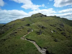
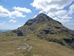
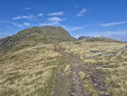
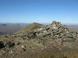
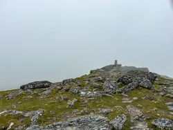
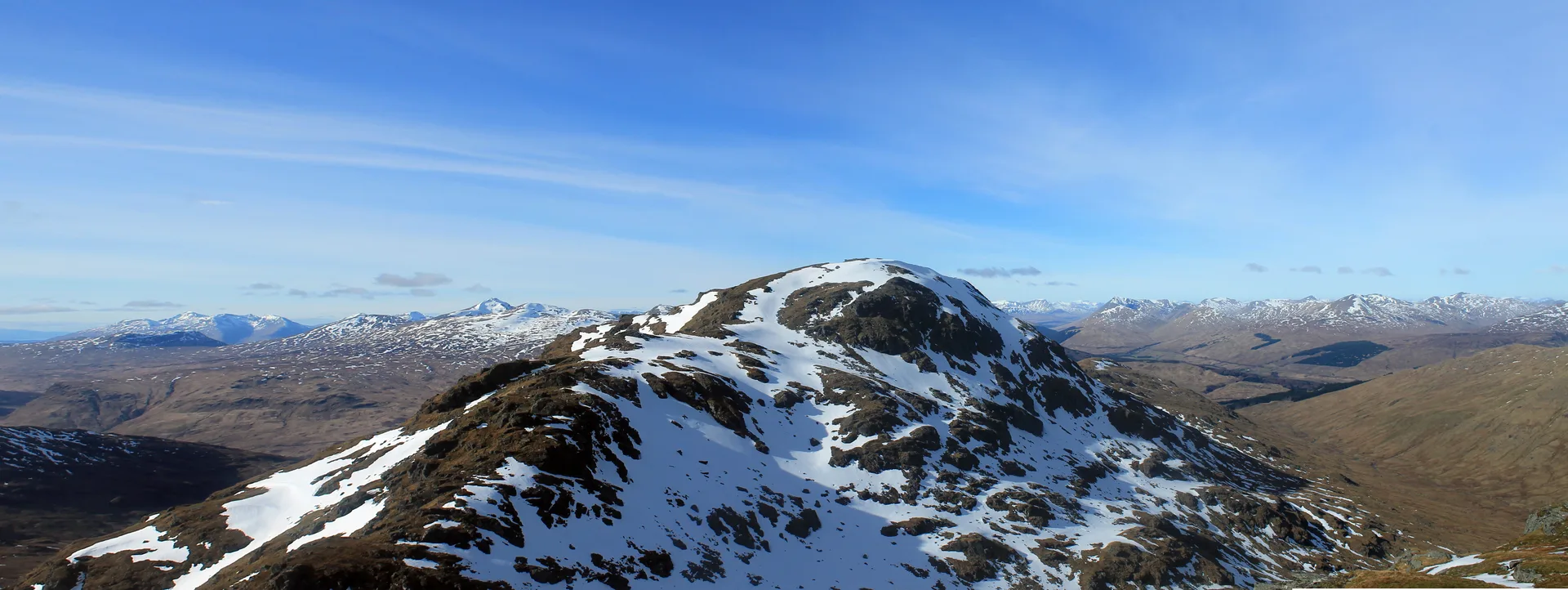
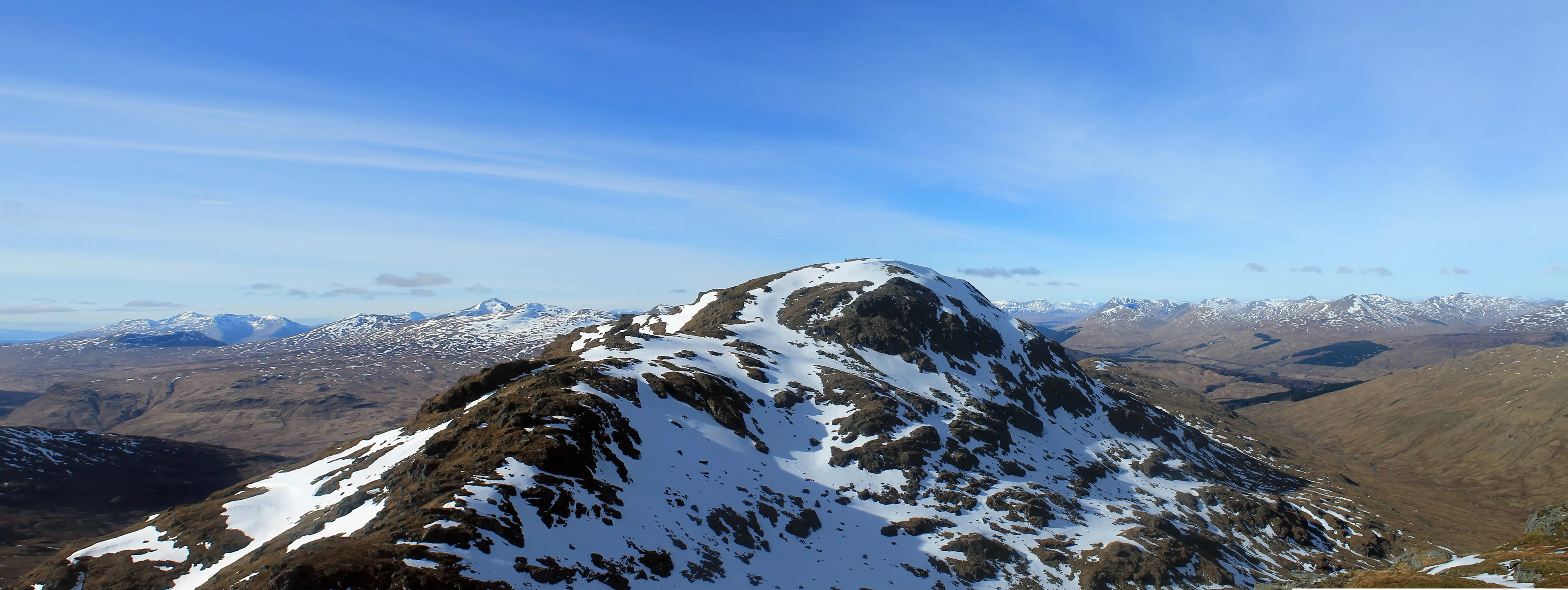
An Caisteal means 'the castle', thought to come from the castellated rocks near its top, which make it easy to pick out from a distance. It rises south of Crianlarich, and its north ridge crosses Twistin Hill, a string of bumpy rocky knolls. Near the summit the path passes small caves and a deep cleft cut into the ridge. A cairn marks the top.
New to the Munros?Read our guide: What Are The Munros?Summit
Cairn
Rock & Ground
Mainly grassy, with rocky outcrops higher up and a knobbly north ridge.
Also On These Lists
MarilynSimm
Summit Weather
Our Route
Distance8.8 mi14.2 km
Ascent870 m2,850 ft
Time5hwalking
Start & FinishA car parkNN 3686 2386 · circular route
DirectionsAlso on this route: Beinn a' Chroin
Safety: Routes are a guide only. Carry a map and compass and know how to use them, check the weather before you go, and turn back if in doubt. You use this route at your own risk.