

Hill data: The Database of British and Irish Hills v18.6 (CC BY 4.0)Height932.2 m3,058 ft
Grid RefNN 367 179
OS MapOL39 & 364OS Explorer
RegionSouthern Highlands
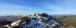
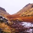
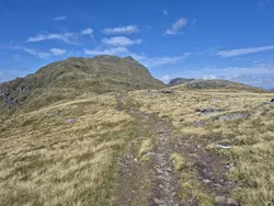
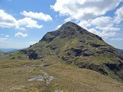
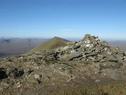
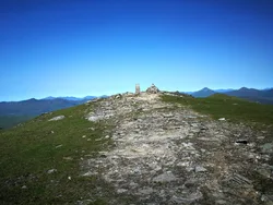
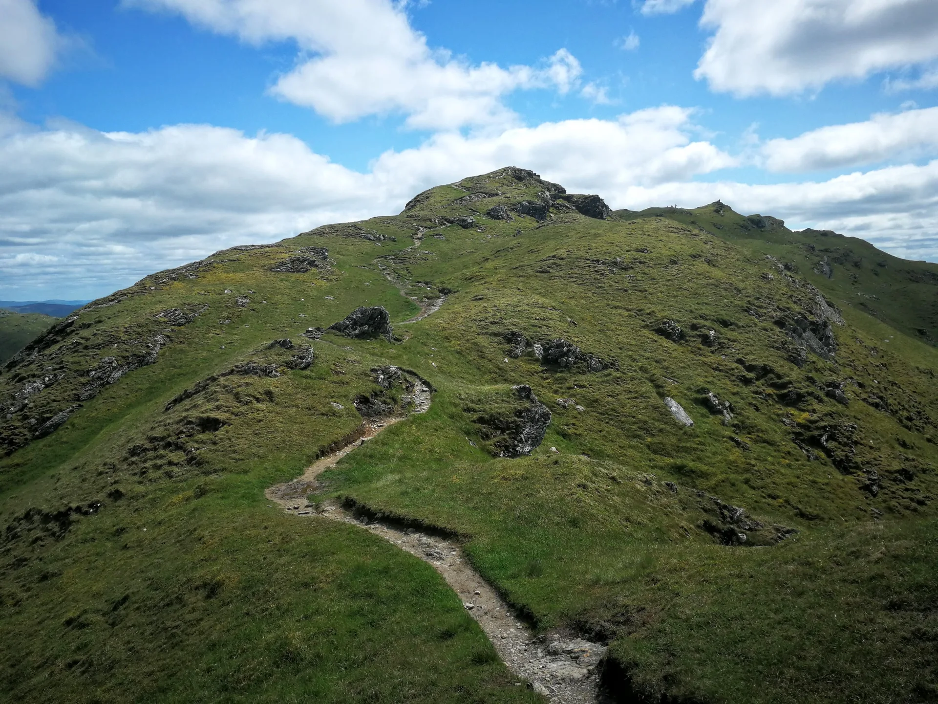
Beinn Chabhair, usually translated as 'hill of the hawk', is one of the Crianlarich group of hills. From Inverarnan, a steep, eroded path climbs beside the waterfalls of the Ben Glas Burn onto very boggy, fairly flat moorland. The last part weaves round craggy knolls to a small cairn on top. From there you look down to Loch Lomond.
New to the Munros?Read our guide: What Are The Munros?Summit
Small cairn
Rock & Ground
Boggy moorland shelf leading to a summit of craggy outcrops.
Also On These Lists
MarilynSimm
Summit Weather
Our Route
Distance12.7 mi20.4 km
Ascent1,210 m3,970 ft
Time7h 05mwalking
StartA car parkNN 3201 1987
DirectionsSafety: Routes are a guide only. Carry a map and compass and know how to use them, check the weather before you go, and turn back if in doubt. You use this route at your own risk.