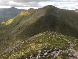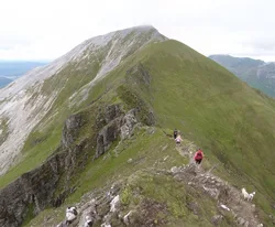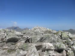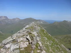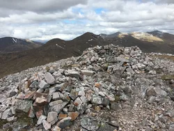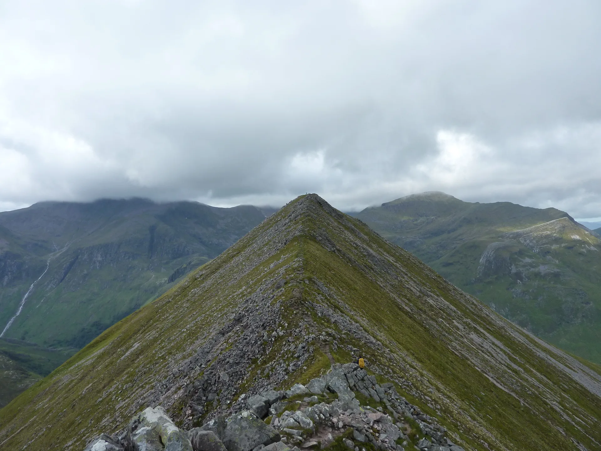


An Gearanach stands at the end of a short ridge running north from the main Mamores spine towards upper Glen Nevis, with a cairn on top. Nobody's quite sure what the name means: 'short ridge', 'the complainer' and 'the sad place' have all been suggested. A narrow arete, knife-edged at one point, joins it to An Garbhanach, and An Steall Ban, the 120 m waterfall, pours down its lower northern slopes.
New to the Munros?Read our guide: What Are The Munros?Cairn
Steep-sided summit ridge with a narrow arete to the south and crags above Steall Falls.
MarilynSimm
Summit Weather
Our Route
Also on this route: Binnein Mor, Na Gruagaichean, Stob Coire a' Chairn
Safety: Routes are a guide only. Carry a map and compass and know how to use them, check the weather before you go, and turn back if in doubt. You use this route at your own risk.