

Hill data: The Database of British and Irish Hills v18.6 (CC BY 4.0)Height1,099 m3,606 ft
Grid RefNN 164 667
OS Map392OS Explorer
RegionBen Nevis, Mamores & Ben Alder
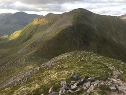
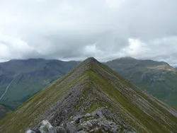
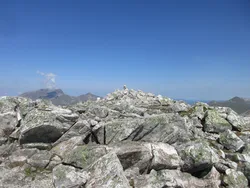
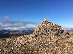
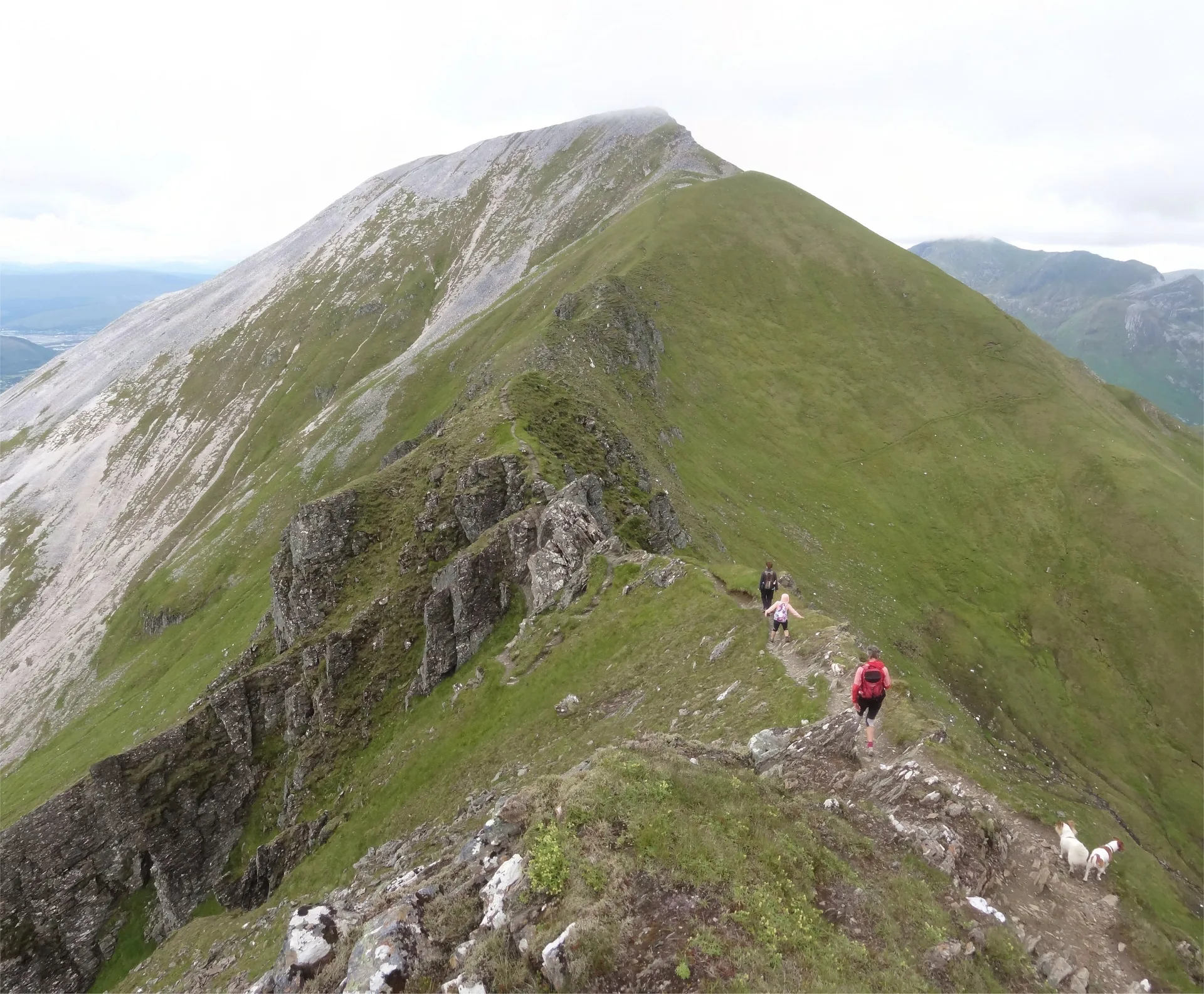
Sgùrr a' Mhàim stands right across Glen Nevis from Ben Nevis, and its pale quartzite top is often mistaken for snow from below. A big cairn built from the same light stones marks the summit. It's linked to the rest of the Mamores by the Devil's Ridge, about 1 km of narrow crest with an awkward gap known as the Bad Step, and it's the first or last peak of the Ring of Steall.
New to the Munros?Read our guide: What Are The Munros?Summit
Cairn
Rock & Ground
Pale quartzite cap above steep northern slopes and corries that end in cliffs over Glen Nevis.
Also On These Lists
MarilynSimm
Summit Weather
Our Route
Distance11.2 mi18.1 km
Ascent1,660 m5,450 ft
Time7h 20mwalking
Start & FinishLower Falls Car ParkNN 1451 6831 · circular route
DirectionsAlso on this route: Am Bodach, Stob Ban (Mamores), Mullach nan Coirean
Safety: Routes are a guide only. Carry a map and compass and know how to use them, check the weather before you go, and turn back if in doubt. You use this route at your own risk.