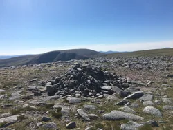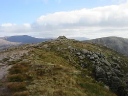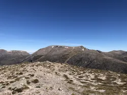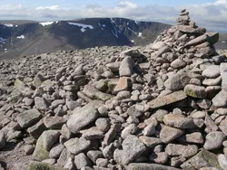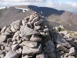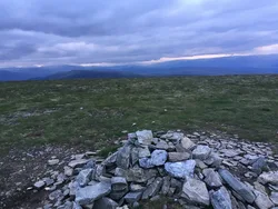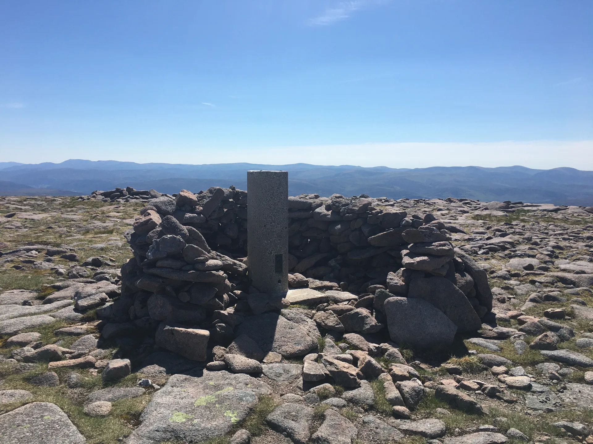


Beinn Bhrotain stands at the south-west end of Glen Dee, the most southerly of the Munros around the Lairig Ghru. Its summit has a trig point and a large cairn, ringed by a wide field of loose granite boulders that makes the last stretch slow going. The name is thought to mean 'hill of the mastiff', perhaps after Brodan, the hound of Fingal in Gaelic legend. Approaches through Glen Geusachan look across to The Devil's Point and Cairn Toul.
New to the Munros?Read our guide: What Are The Munros?Trig point
Granite, with steep slabs above the glen and a broad summit of loose boulders.
MarilynSimm
Summit Weather
Our Route
No path for 5.6 kmAbout 5.6 km of this route has no path on the map (longest stretch 5.6 km). Expect rough, pathless ground. You will need a map and compass and the skills to use them.
Also on this route: Monadh Mor
Safety: Routes are a guide only. Carry a map and compass and know how to use them, check the weather before you go, and turn back if in doubt. You use this route at your own risk.