

Hill data: The Database of British and Irish Hills v18.6 (CC BY 4.0)Height1,291 m4,236 ft
Grid RefNN 963 972
OS MapOL57 & 403OS Explorer
RegionCairngorms
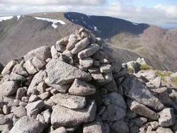
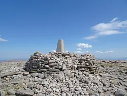
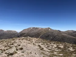
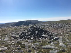
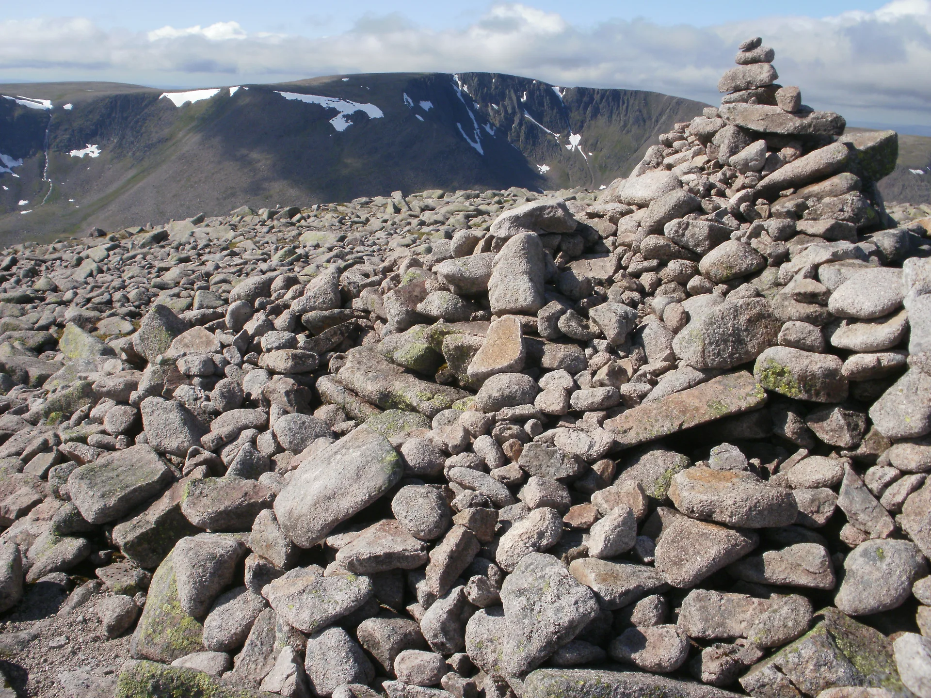
Cairn Toul stands on the west side of the Lairig Ghru, looking across the pass towards Ben Macdui, with Corrour bothy tucked in the glen beneath it. A large cairn marks its summit. It's linked to Braeriach by a high col at about 1,125 m, and walkers often string it together with Sgor an Lochain Uaine and The Devil's Point. The Gaelic name, Càrn an t-Sabhail, means 'hill of the barn'.
New to the Munros?Read our guide: What Are The Munros?Summit
Large cairn
Rock & Ground
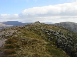
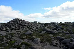
Cairngorm granite, with a boggy, rolling plateau to the west and steep ground above the Lairig Ghru.
Also On These Lists
MarilynSimm
Summit Weather
Our Route
Distance22.8 mi36.6 km
Ascent1,660 m5,450 ft
Time12hwalking
Start & FinishSugarbowl car parkNH 9848 0742 · circular route
DirectionsAlso on this route: Sgor an Lochain Uaine, The Devil's Point
Safety: Routes are a guide only. Carry a map and compass and know how to use them, check the weather before you go, and turn back if in doubt. You use this route at your own risk.