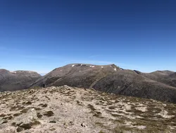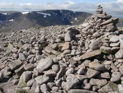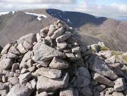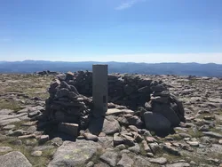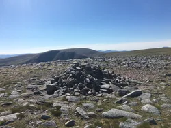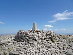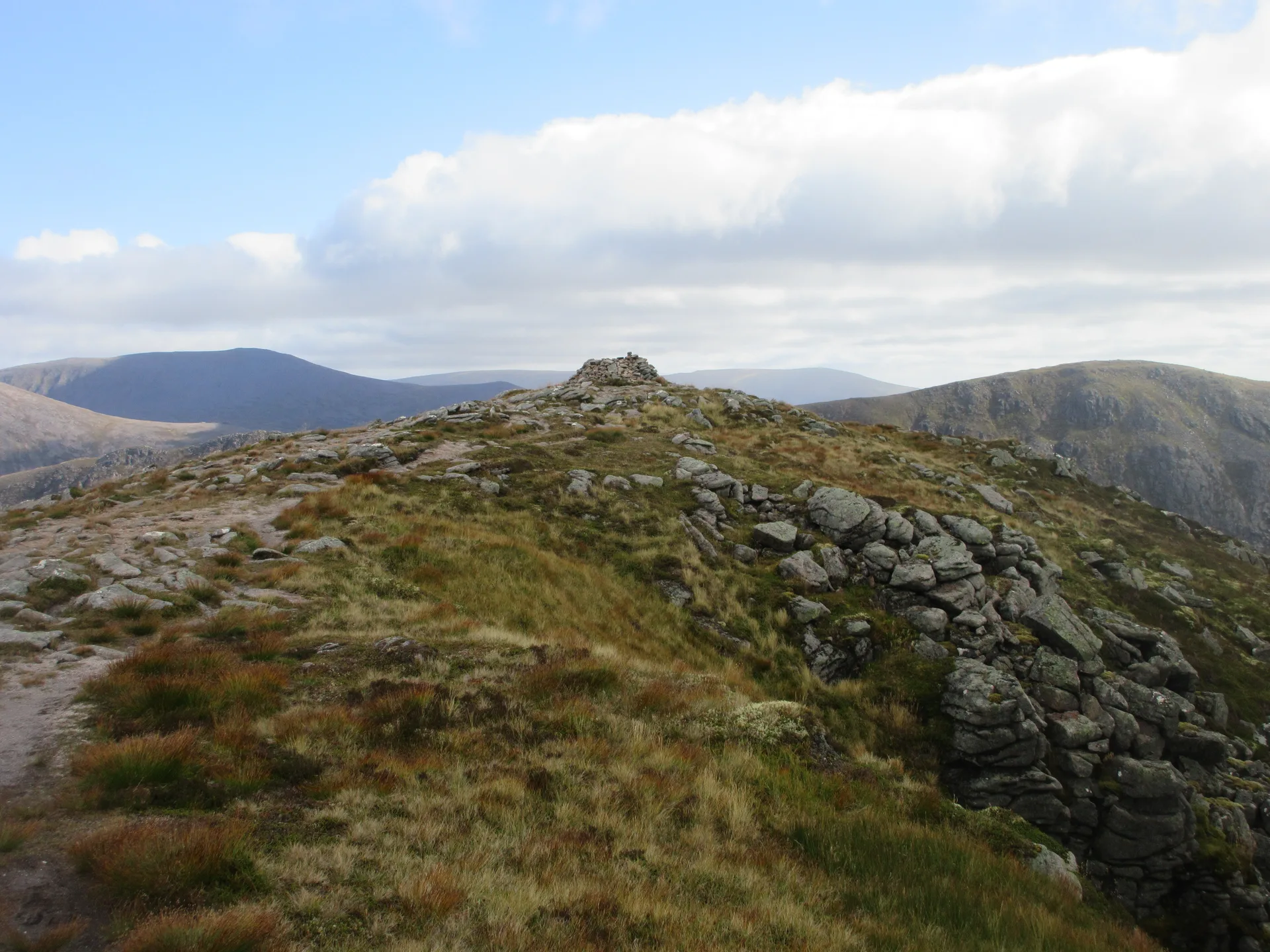


The Devil's Point is a rugged prow at the southern end of the Cairn Toul and Braeriach plateau, standing over the Lairig Ghru and Corrour Bothy in Glen Dee. Its Gaelic name, Bod an Deamhain, means the devil's penis. The politer English version is said to date from Queen Victoria's visits, when her ghillie John Brown reportedly gave her a tactful translation. A cairn marks the top, and seen from the south the peak's outline is unmistakable.
New to the Munros?Read our guide: What Are The Munros?Cairn
Rugged peak with a rough path up Coire Odhar and bouldery ground on the way to Cairn Toul.
Simm
Summit Weather
Our Route
Also on this route: Cairn Toul, Sgor an Lochain Uaine
Safety: Routes are a guide only. Carry a map and compass and know how to use them, check the weather before you go, and turn back if in doubt. You use this route at your own risk.