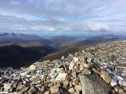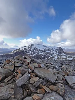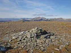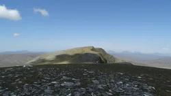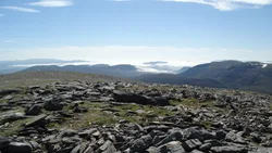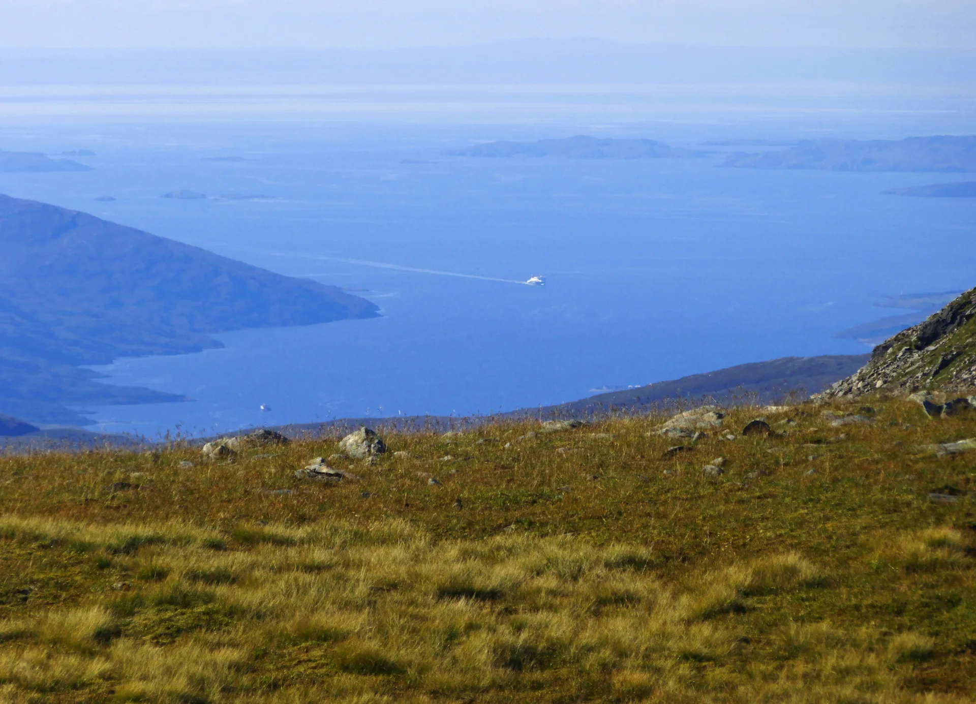


Beinn Dearg, the 'red mountain', is the highest of a cluster of summits above Inverlael, with Cona' Mheall and Meall nan Ceapraichean close by. Glaciers have cut the massif into deep, steep hollows with remote lochs in them. A small stone wall climbs the slope to the summit, where there's a large cairn. In 2005 storms flattened so many trees in Inverlael Forest that the usual approach was almost blocked.
New to the Munros?Read our guide: What Are The Munros?Large cairn
Glacier-gouged massif with steep hollows and lochs, and a stone wall leading to the top.
MarilynSimm
Summit Weather
Our Route
No path for 3.2 kmAbout 3.2 km of this route has no path on the map (longest stretch 0.8 km). Expect rough, pathless ground. You will need a map and compass and the skills to use them.
Also on this route: Cona' Mheall, Meall nan Ceapraichean, Eididh nan Clach Geala
Safety: Routes are a guide only. Carry a map and compass and know how to use them, check the weather before you go, and turn back if in doubt. You use this route at your own risk.