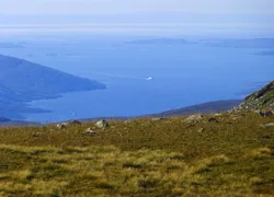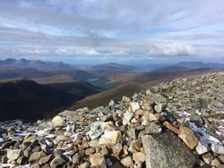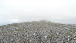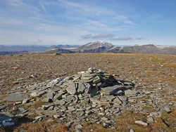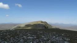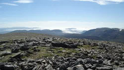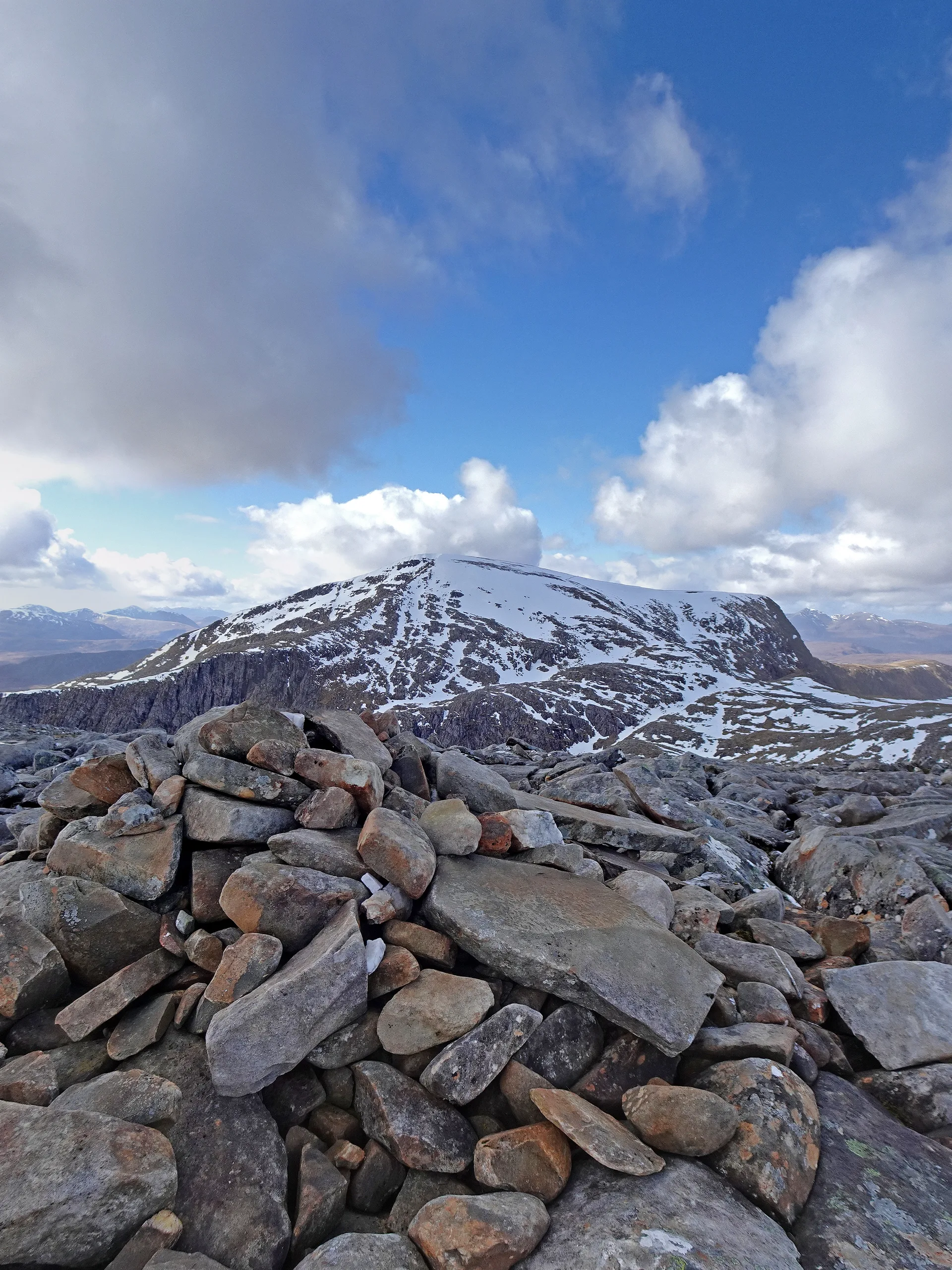

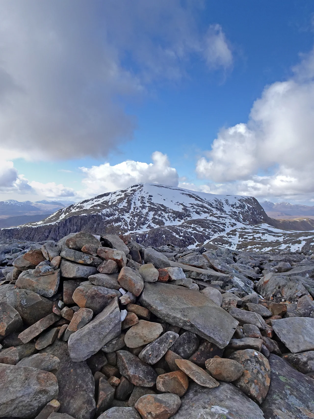


Cona' Mheall sits on the eastern side of the Beinn Dearg group, and its name is said to mean 'adjoining hill', which suits a peak that hangs off its bigger neighbour. From Loch Prille a narrow rocky ridge climbs to its conical top, giving an easy scramble in summer, while crags drop away on the other sides. The highest point is a cairn on a rocky outcrop.
New to the Munros?Read our guide: What Are The Munros?Cairn on outcrop
Narrow rocky crest with crags on most sides and gentler slopes to the west.
MarilynSimm
Summit Weather
Our Route
No path for 3.2 kmAbout 3.2 km of this route has no path on the map (longest stretch 0.8 km). Expect rough, pathless ground. You will need a map and compass and the skills to use them.
Also on this route: Beinn Dearg (Ullapool), Meall nan Ceapraichean, Eididh nan Clach Geala
Safety: Routes are a guide only. Carry a map and compass and know how to use them, check the weather before you go, and turn back if in doubt. You use this route at your own risk.