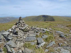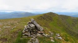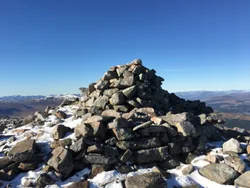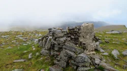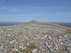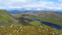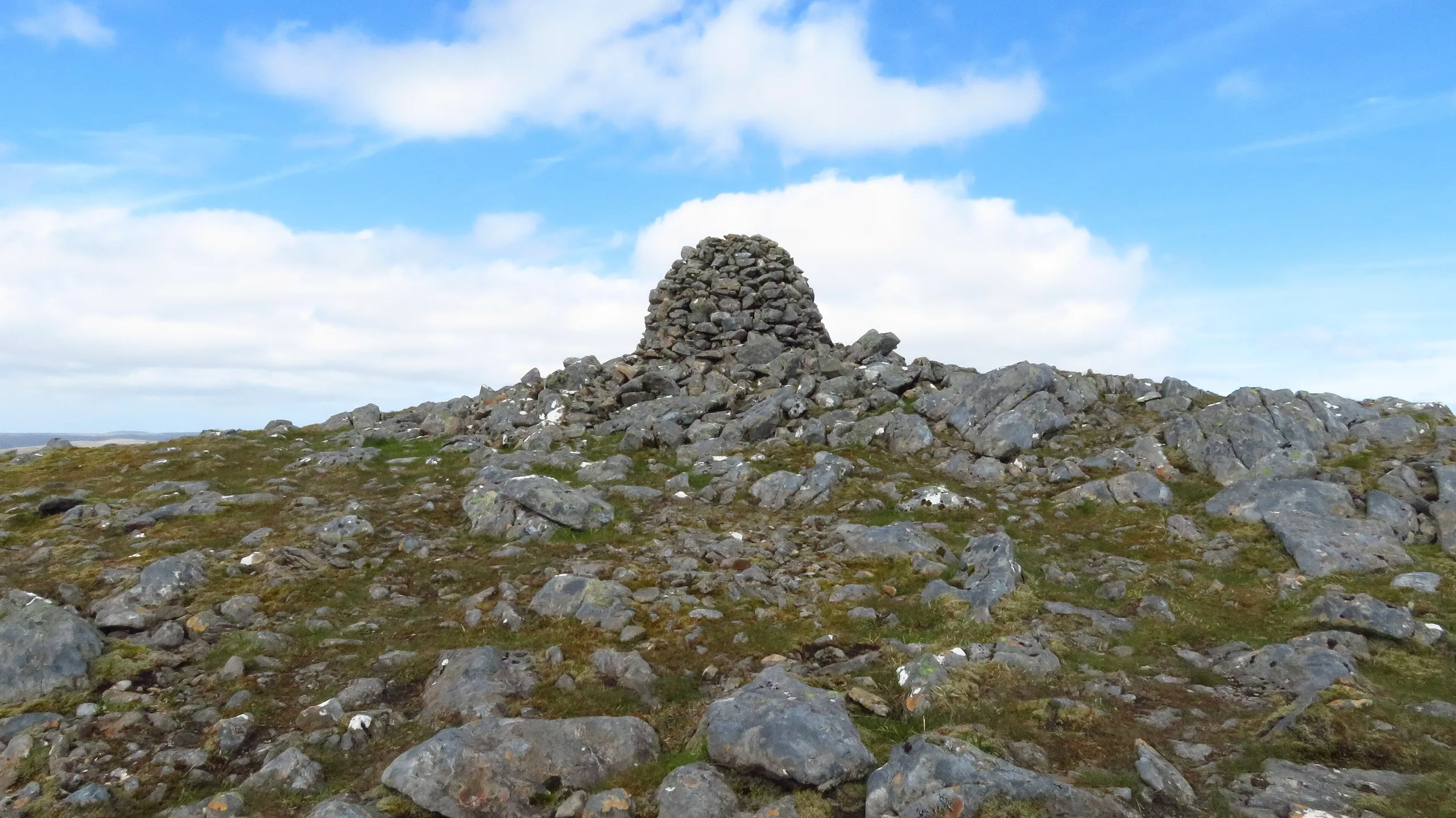



Geal-Charn is the middle and bulkiest of four Munros strung out between Loch Pattack and Loch Ossian, and its name means 'white hill'. A large cairn marks the top, perched at the edge of a wide, high plateau that ends abruptly in north-facing crags and dark lochans. The most exciting way up is the Lancet Edge, a narrow scrambling ridge to the outlying top of Sgòr Iutharn.
New to the Munros?Read our guide: What Are The Munros?Large cairn
Wide, flat high plateau dropping away in steep crags to corries holding small lochans.
MarilynSimm
Summit Weather
Our Route
No path for 7.6 kmAbout 7.6 km of this route has no path on the map (longest stretch 7.6 km). Expect rough, pathless ground. You will need a map and compass and the skills to use them.
Also on this route: Aonach Beag (Ben Alder), Beinn Eibhinn, Carn Dearg (Ben Alder)
Safety: Routes are a guide only. Carry a map and compass and know how to use them, check the weather before you go, and turn back if in doubt. You use this route at your own risk.