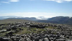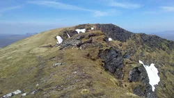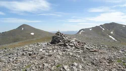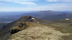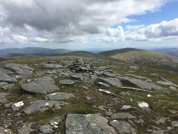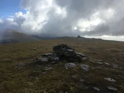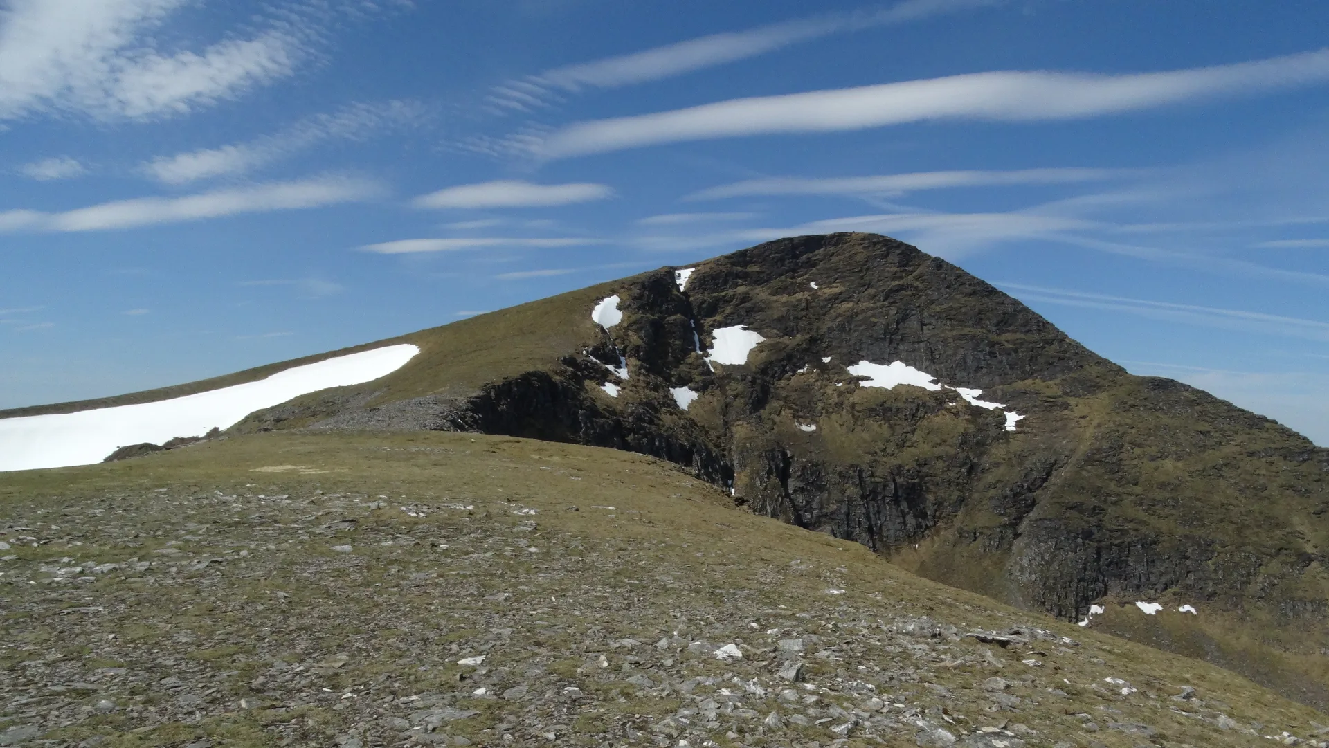


Sgùrr Mòr, the 'big peak', is the highest of the Fannichs, a range north of Loch Fannich that's sometimes called the Ross-shire Alps. Its broad summit carries a large, well-built cairn, with steep drops on one side and stepped solifluction terraces on the other. A network of stalkers' paths threads the surrounding ridges, and the hill is often climbed as part of a longer round of the Fannich Munros.
New to the Munros?Read our guide: What Are The Munros?Large cairn
Broad summit with steep drops on one side and solifluction terraces on the other.
MarilynSimmCounty Top
Summit Weather
Our Route
No path for 6.9 kmAbout 6.9 km of this route has no path on the map (longest stretch 1.7 km). Expect rough, pathless ground. You will need a map and compass and the skills to use them.
Also on this route: Beinn Liath Mhor Fannaich, Meall Gorm, An Coileachan
Safety: Routes are a guide only. Carry a map and compass and know how to use them, check the weather before you go, and turn back if in doubt. You use this route at your own risk.