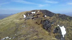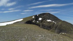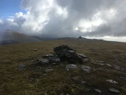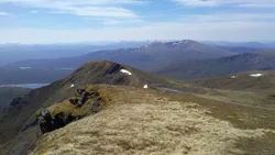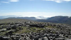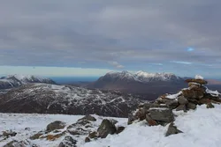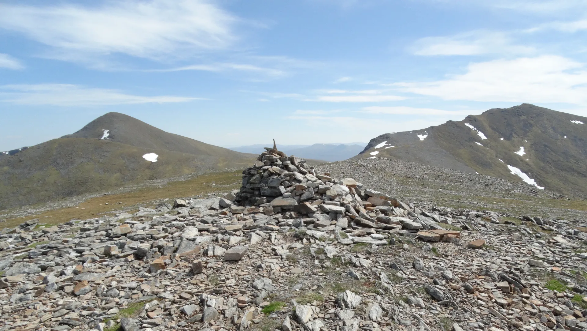


Meall a' Chrasgaidh, the 'hill of the crossing', takes its name from the boggy col to its south, the main way across the Fannichs, where a small lochan sits. It's a rounded, grassy hill with a cairn about 1.5 m high on top and schist showing near the summit. The eastern side drops steeply and rockily to Loch a' Mhadaidh. Bigger Fannichs block the view south, but An Teallach and the hills of Coigach and Assynt are in sight to the north and north-west.
New to the Munros?Read our guide: What Are The Munros?Cairn
Mica and quartz schist under grass and heather, with steep rocky slopes on the east.
HuMPSimm
Summit Weather
Our Route
No path for 2.8 kmAbout 2.8 km of this route has no path on the map (longest stretch 2.8 km). Expect rough, pathless ground. You will need a map and compass and the skills to use them.
Also on this route: Sgurr nan Clach Geala
Safety: Routes are a guide only. Carry a map and compass and know how to use them, check the weather before you go, and turn back if in doubt. You use this route at your own risk.