

Hill data: The Database of British and Irish Hills v18.6 (CC BY 4.0)Height999.6 m3,280 ft
Grid RefNH 158 711
OS Map435 & 436OS Explorer
RegionFisherfield & Fannichs
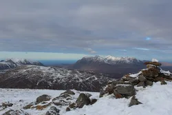
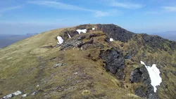
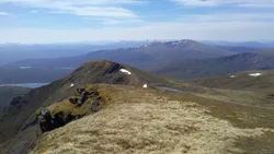
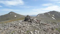
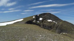
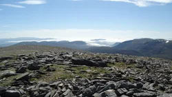
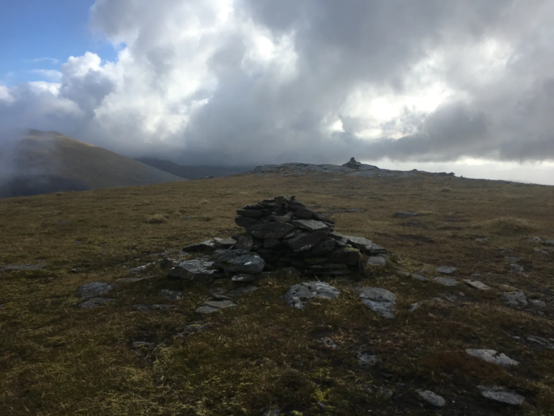
Sgùrr Breac, the 'spotted peak', pairs with A' Chailleach at the western end of the Fannichs, cut off from the rest of the range by a low bealach. Its north side is a very steep face, so walkers usually come up the eastern ridge instead. The highest point is a rock slab, a short way from a summit cairn that stands slightly lower.
New to the Munros?Read our guide: What Are The Munros?Summit
Slab
Rock & Ground
Very steep north face, with an easier ridge running east.
Also On These Lists
MarilynSimm
Summit Weather
Our Route
Distance13.8 mi22.3 km
Ascent1,310 m4,300 ft
Time7h 45mwalking
Start & FinishA car park near Loch na h-OidhcheNH 1615 7615 · circular route
DirectionsAlso on this route: A' Chailleach (Fannichs), Sgurr nan Each
Safety: Routes are a guide only. Carry a map and compass and know how to use them, check the weather before you go, and turn back if in doubt. You use this route at your own risk.