

Hill data: The Database of British and Irish Hills v18.6 (CC BY 4.0)Height994 m3,261 ft
Grid RefNN 111 517
OS Map384OS Explorer
RegionGlen Coe & Glen Etive
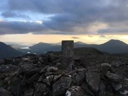
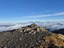
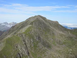
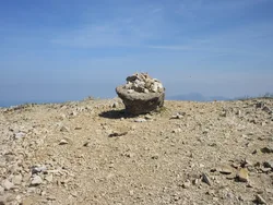
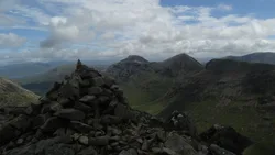
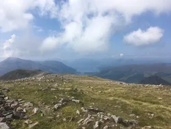
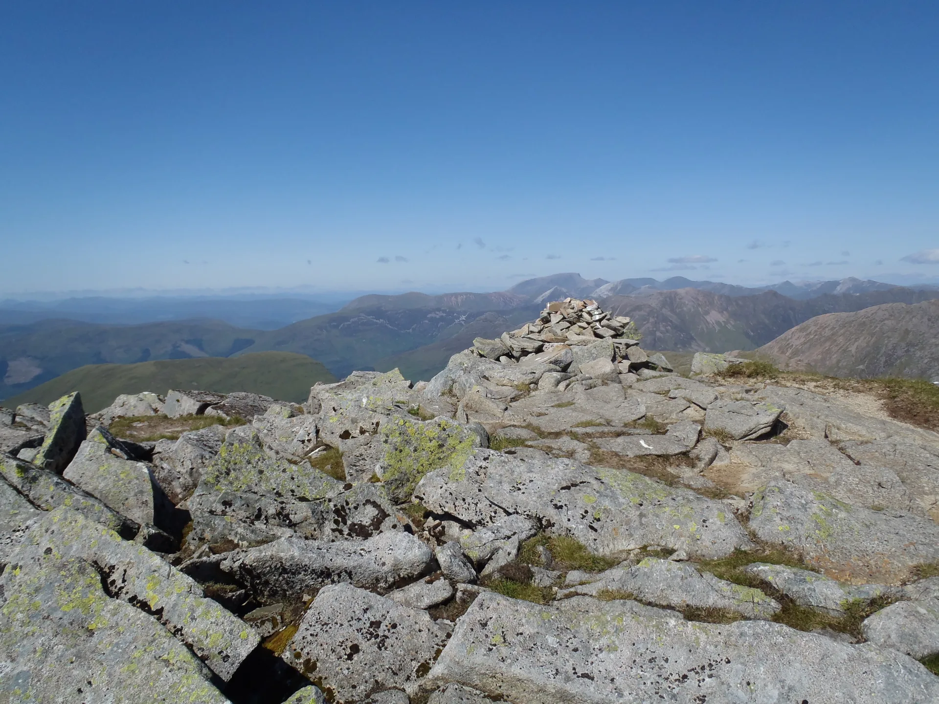
Sgùrr na h-Ulaidh, the 'peak of the treasure', lies south of Glencoe village but stays hidden from the A82 behind Aonach Dubh a' Ghlinne. The usual way up follows the Allt na Muidhe and then a steep, rocky ridge to the summit, which has a cairn. Coming in from Glen Etive avoids the steep ground on the north side.
New to the Munros?Read our guide: What Are The Munros?Summit
Cairn
Rock & Ground
Steep, rocky north side, with a rocky ridge leading south-west to the top.
Also On These Lists
MarilynSimm
Summit Weather
Our Route
Distance15.8 mi25.5 km
Ascent1,750 m5,740 ft
Time9h 15mwalking
Start & FinishA car park near Glen EtiveNN 1116 4535 · circular route
DirectionsAlso on this route: Beinn Fhionnlaidh (Glen Etive)
Safety: Routes are a guide only. Carry a map and compass and know how to use them, check the weather before you go, and turn back if in doubt. You use this route at your own risk.