



Contents
Overview
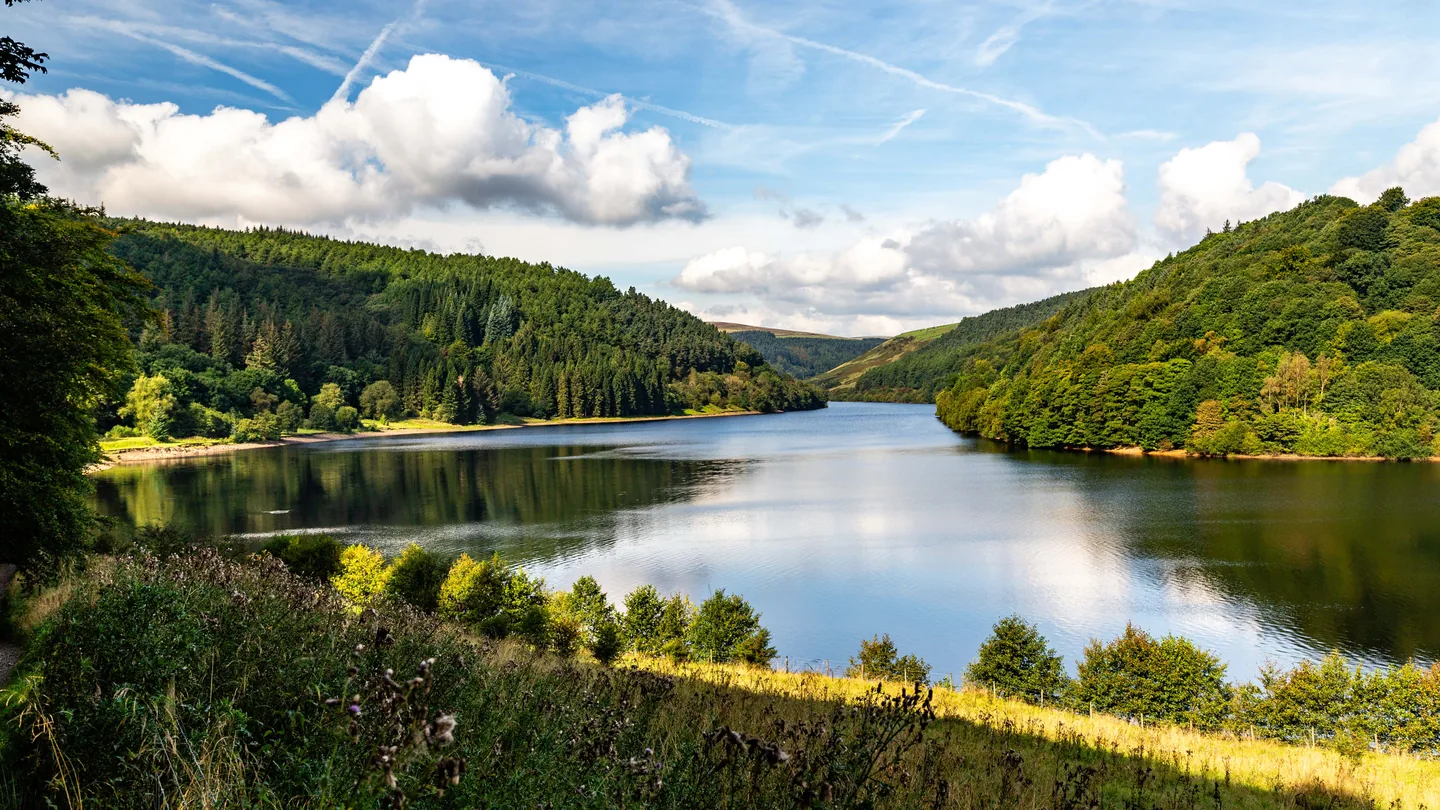
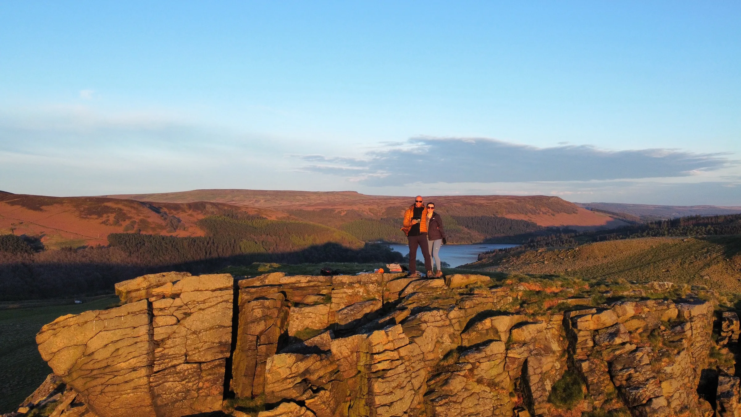
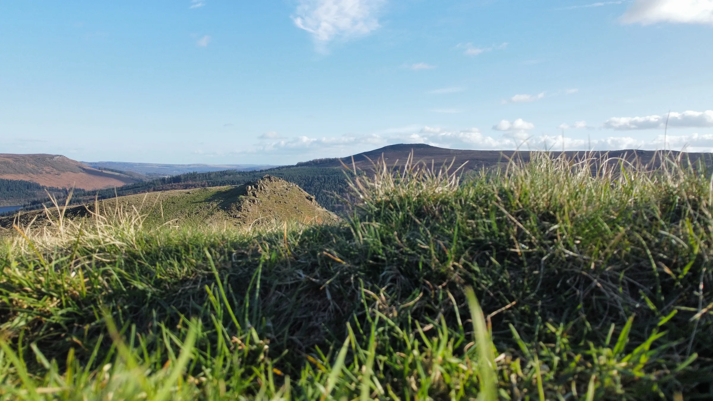
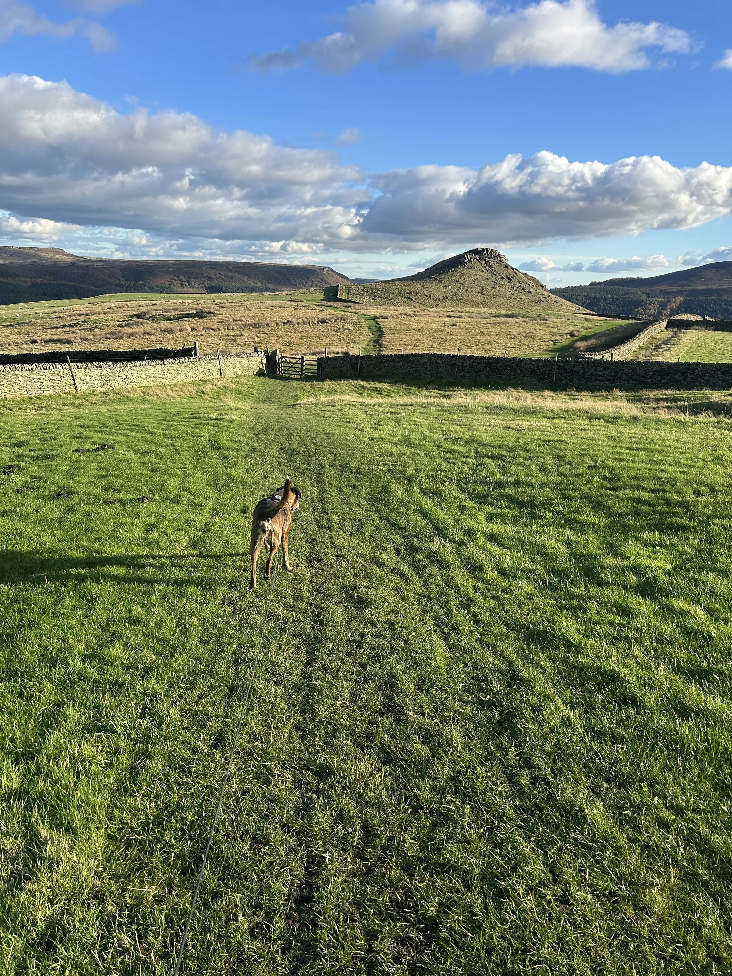
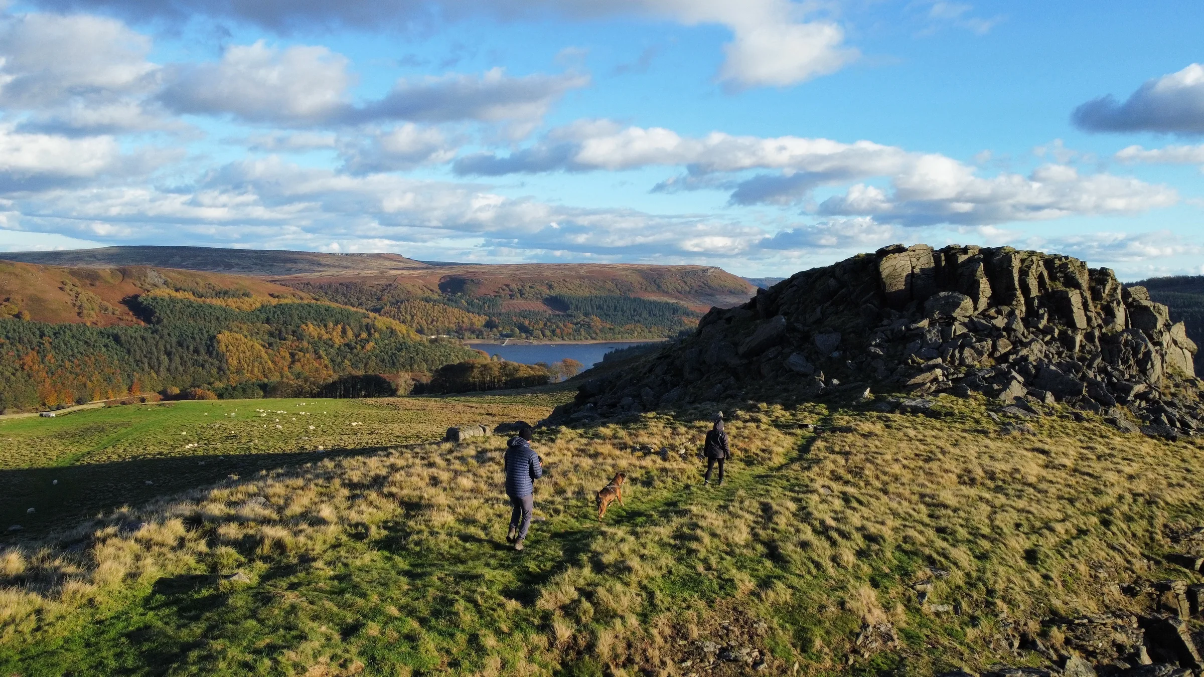
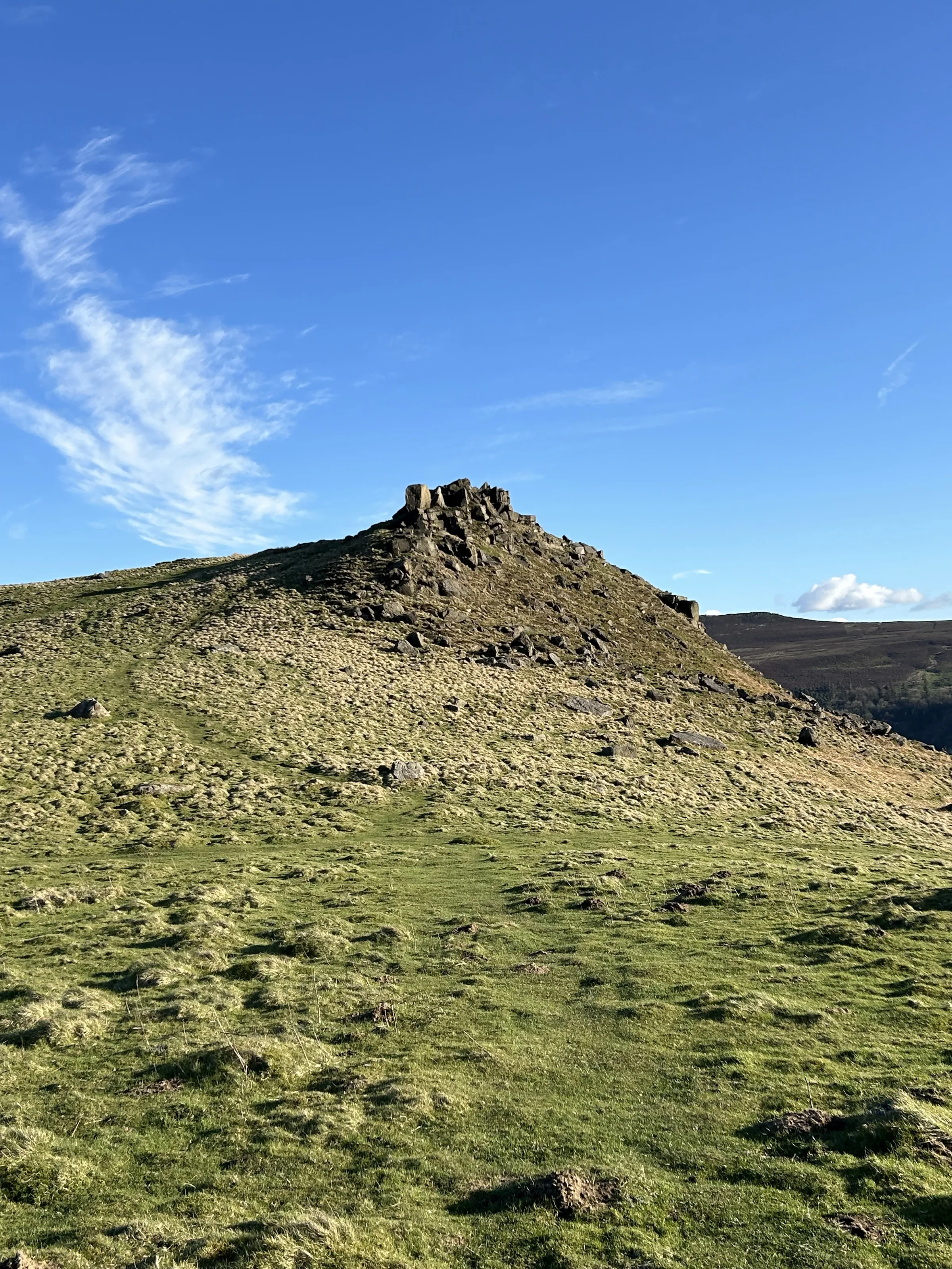
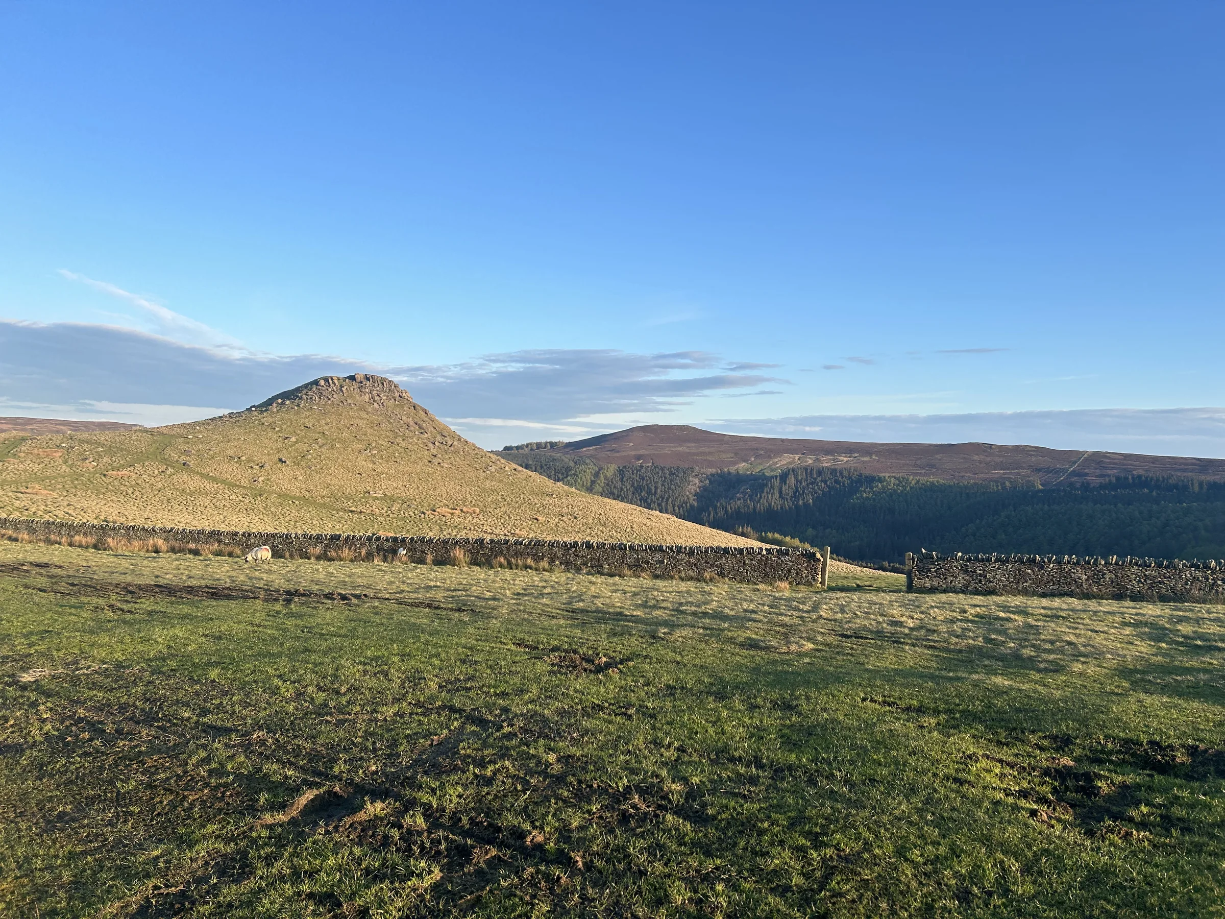
Cut off from Kinder Scout by the long western arm of Ladybower Reservoir, Crook Hill is a small hill that most walkers leave out. That's their loss. It has two rocky tops of Kinder Scout Grit, the higher one 382m, and from them you look out over the water to Derwent Edge and Win Hill. People have been coming up here for a very long time: the slopes hold a small Bronze Age stone circle and burial cairns, one of them in the saddle between the two tops.
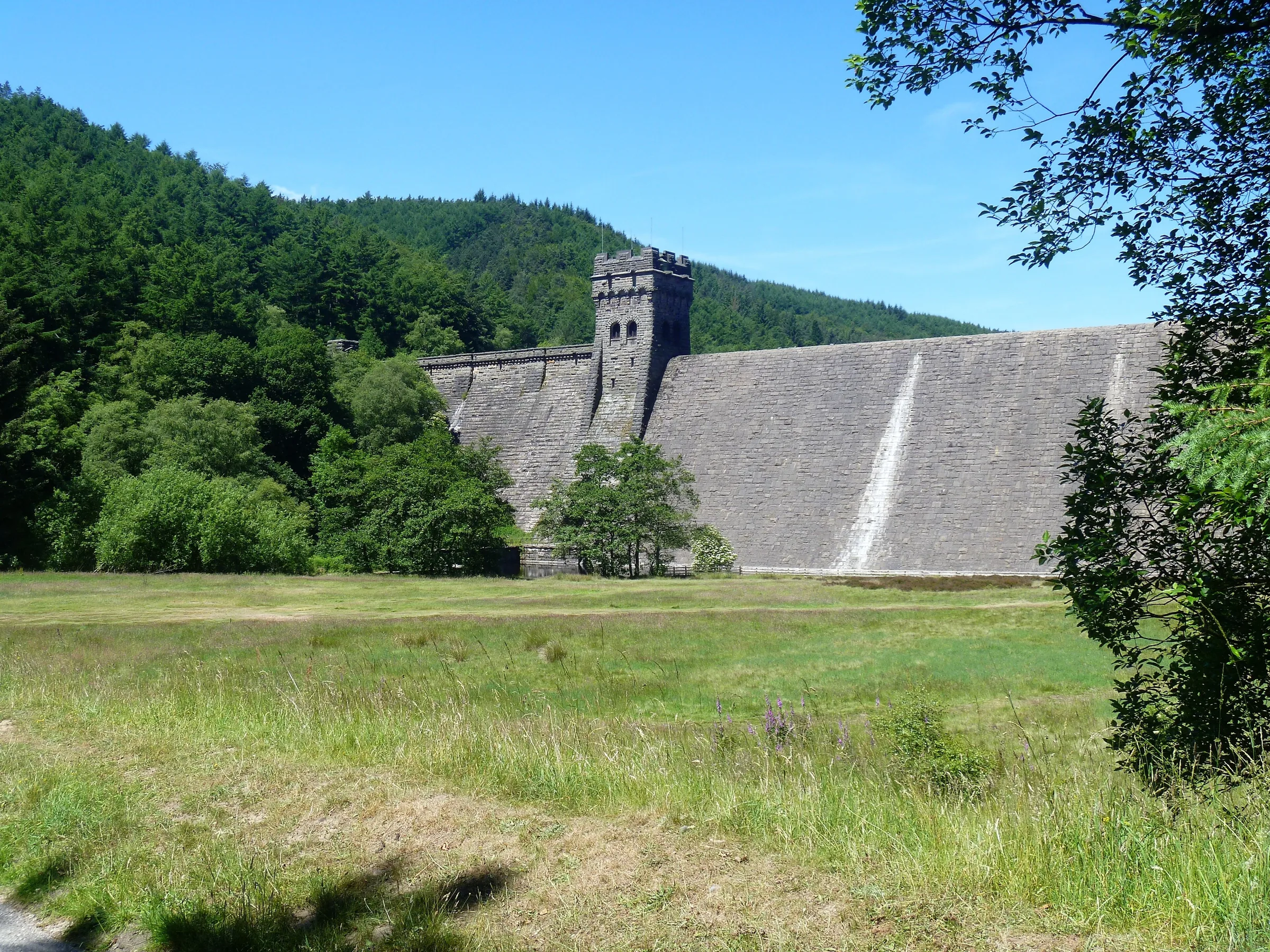
The loop starts at Heatherdene car park and heads north over the Ladybower Viaduct, then follows the track up the east shore of the reservoir, almost level and with the water beside you, past the site of the drowned village of Derwent. At the foot of Derwent Dam you cross the valley below the wall to Fairholmes, then climb steeply west through the woods. A bridleway takes you south-east along the top of the trees over Bridge-end Pasture, the highest ground of the day, and on past the foot of Crook Hill's two tops, which are a short climb off the path. You come down through Crookhill Farm to the A57, cross the Ashopton Viaduct and walk back to the start. This walk takes in one of the Peak District's Ethels: Crook Hill. Find all 95 on our Ethels map.
Go prepared, stay safe,
and enjoy the hike!
Key Info
Crowds
Low
Ladybower is a very popular place and the start of the walk can be busy, but this route heads up to the quieter hillsides on its western side, and you'll often have Crook Hill itself to yourself. The car parks are the main pinch point, as parking is at a premium on weekends and bank holidays.
When it gets busy
- Weekends and bank holidays, when parking around Ladybower is at a premium
- Heatherdene car park in the summer holidays, when it fills up quickly
- Ladybower Reservoir itself, a very popular spot
For a quieter walk
- Arrive early at weekends and in the summer holidays to get a space at Heatherdene
- Go on a weekday for the quietest walk
- If the car parks near the start are full, drive on into the Upper Derwent Valley and join the route from another car park
- Expect mountain bikers on the bridleway by Hagg Side woods, which is popular with them
- Car parks here are only open in daylight hours, so if you go late, make sure you are back before dusk
Our crowd rating is for a typical sunny weekend in spring or summer, in the middle of the day. Timing makes a big difference, so even a busy walk can be quiet early, late or midweek.
The Route
Disclaimer: Route information and GPX files are provided for general guidance only. Conditions can change, so always use your own judgement and navigate responsibly. See our Terms of Use & Disclaimer for more information.
Route Guide
- 1
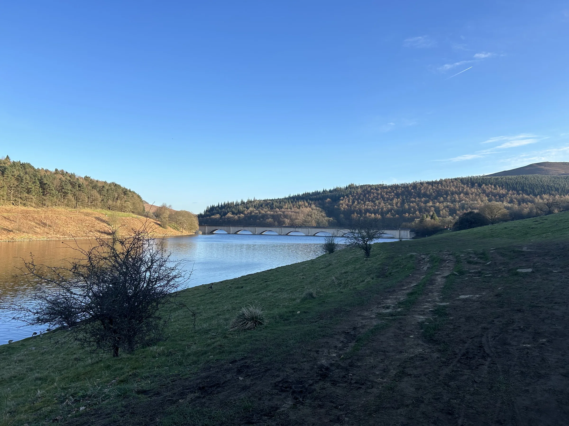
Over the Ladybower Viaduct0.8 mi · 20m up · 5m downFrom the northern end of Heatherdene car park, follow the path beside the A6013 north over the Ladybower Viaduct to the junction with the A57. Turn left along the path beside the A57 and, just before the Ashopton Viaduct, turn right onto the track up the east side of the reservoir.
- 2
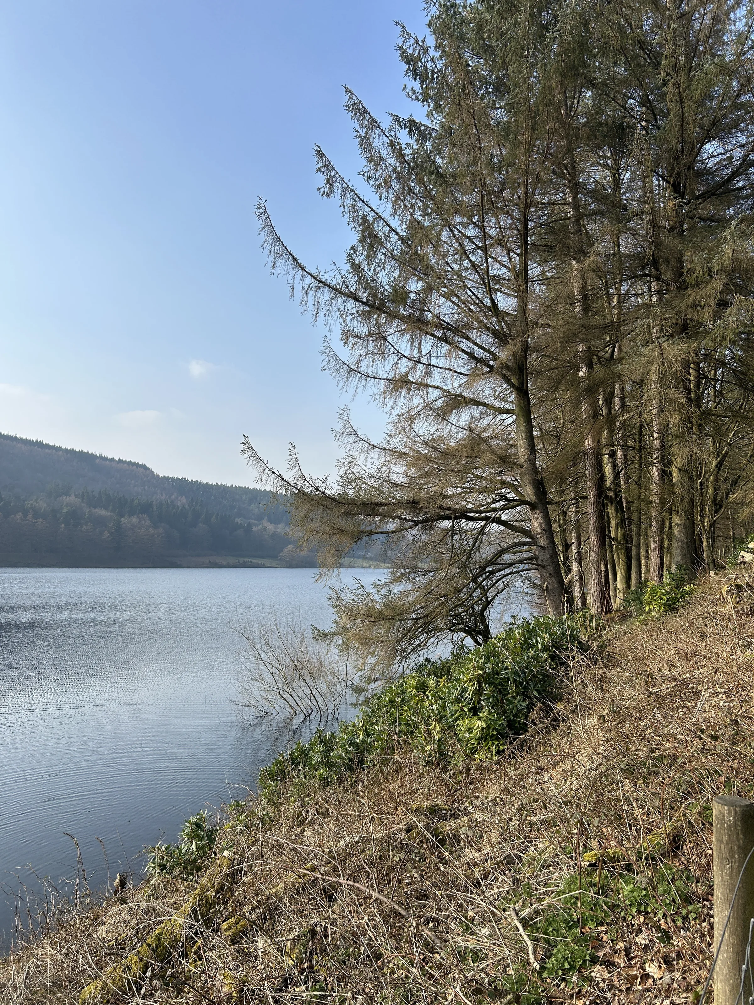
Up the East Shore2.5 mi · 65m up · 50m downFollow the track north with the water on your left. It is almost level the whole way, through woods and past several small streams. After about 2.2 miles it becomes a quiet surfaced lane, passing the site of the old village of Derwent, which lies under the water.
- 3
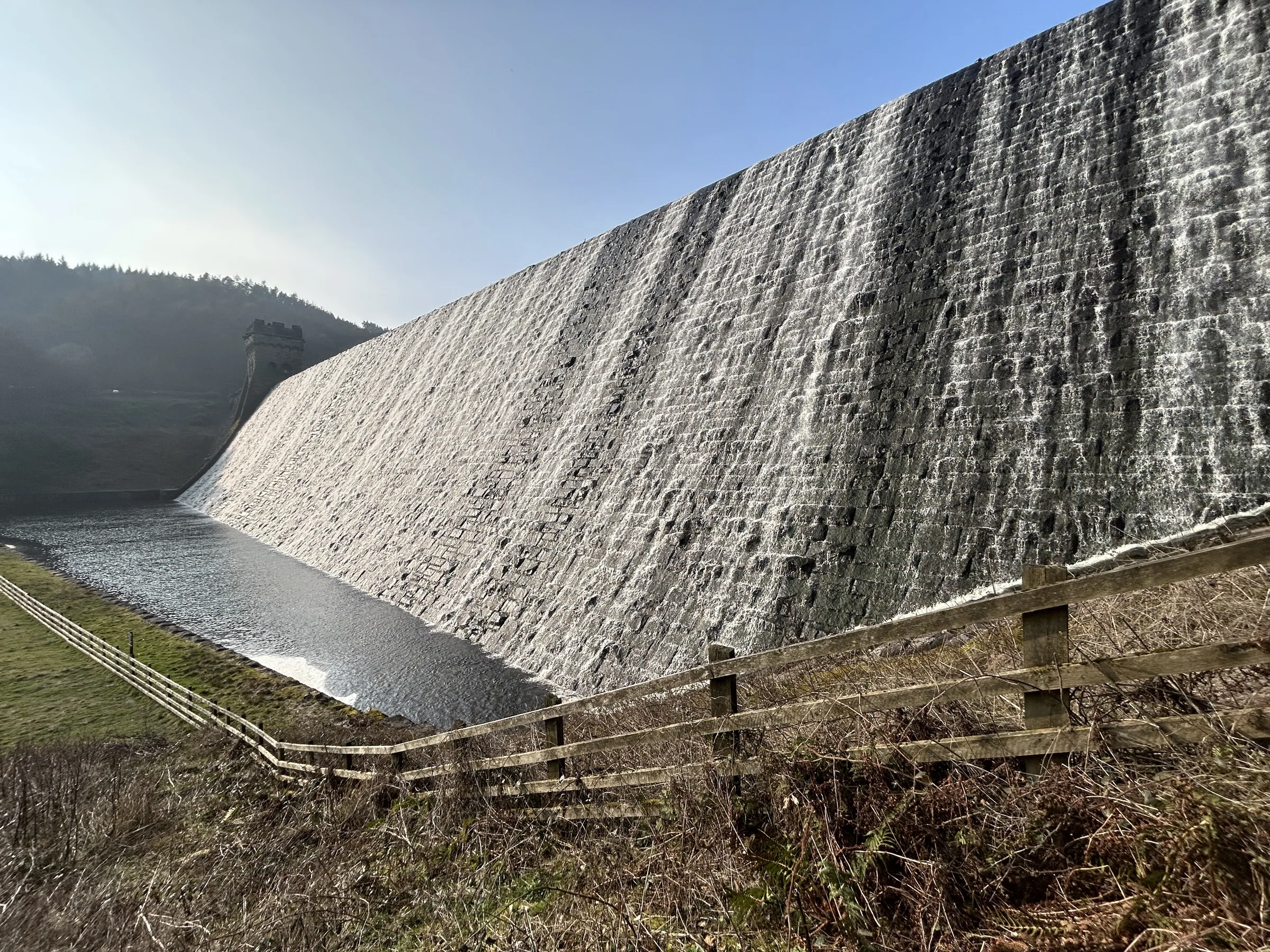
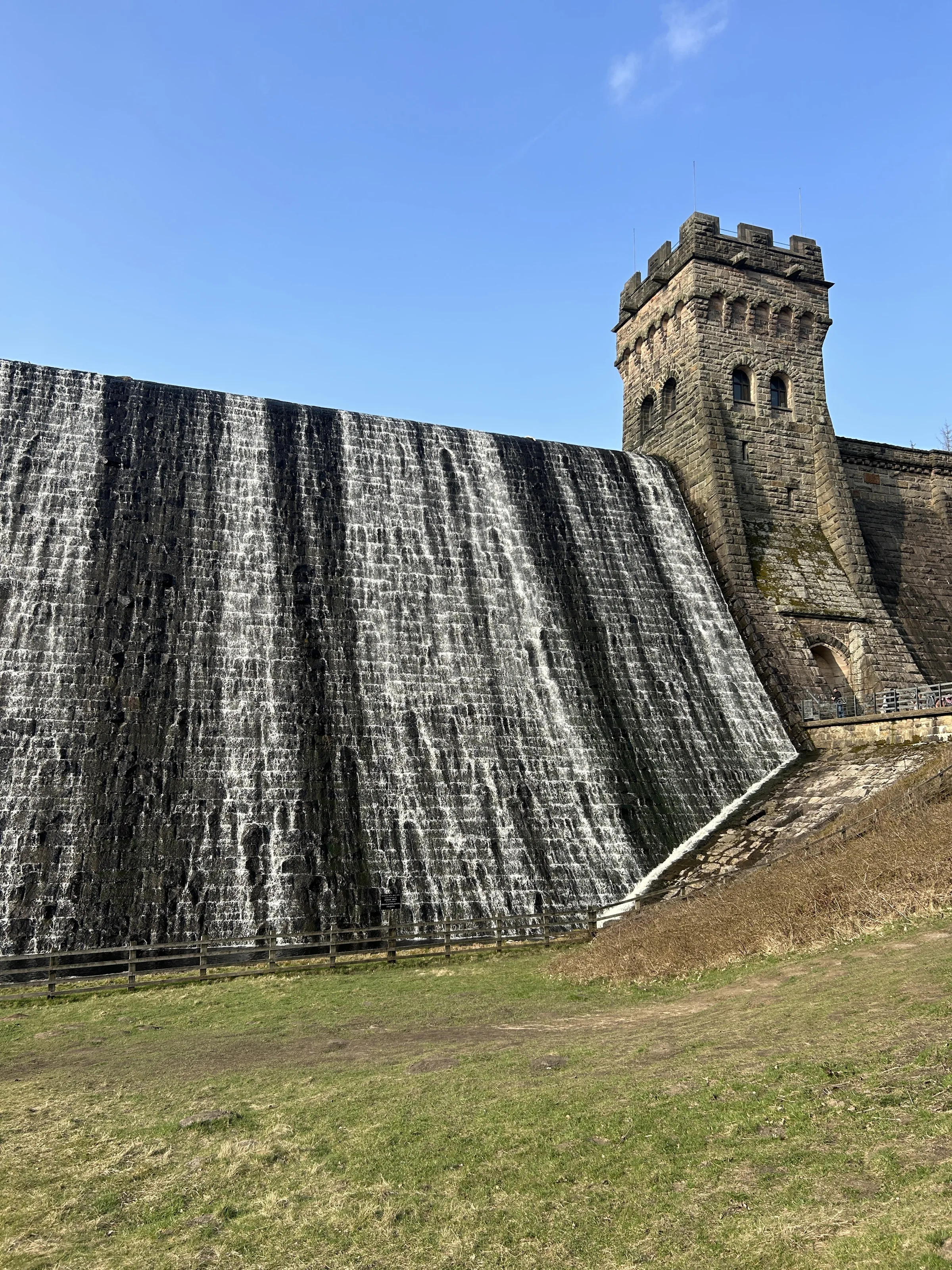
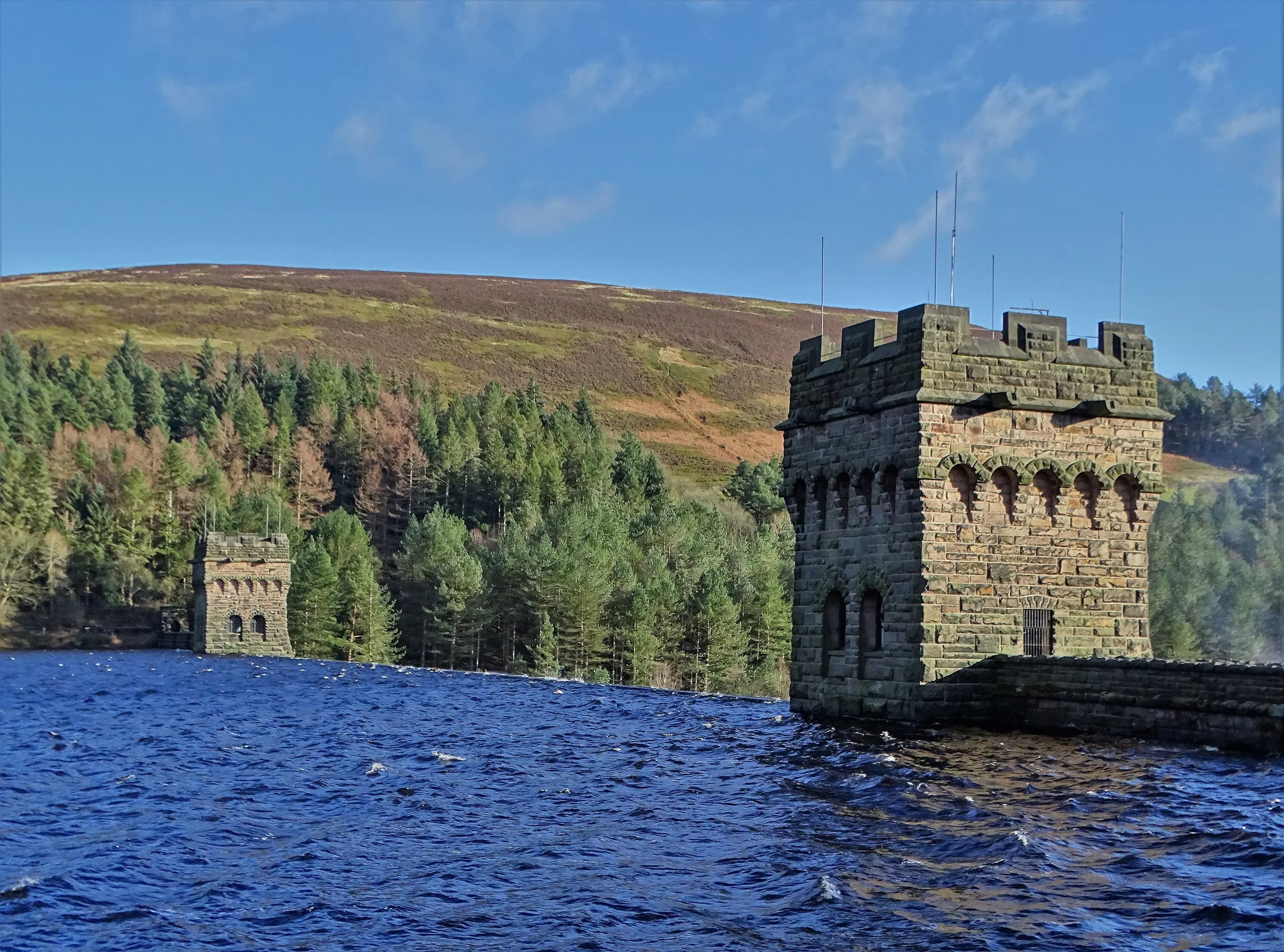
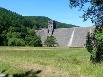
Below Derwent Dam0.7 mi · 30m up · 40m downLeave the lane on a path up to the eastern end of Derwent Dam, beside its east tower. Then drop down and cross the valley below the dam wall, over the river, and follow the road and path south to Fairholmes, which has toilets and a kiosk.
- 4
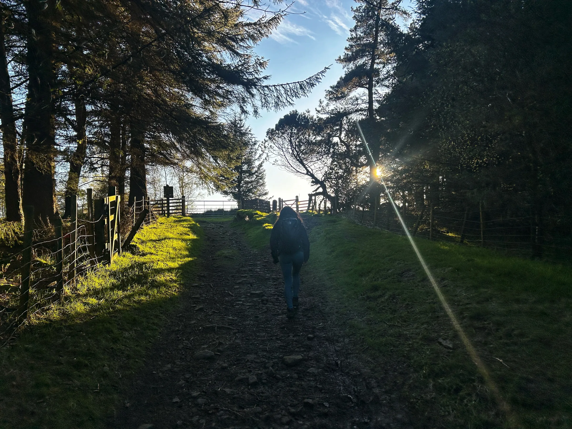
Up Through the Woods0.7 mi · 150m up · 15m downCross the road and take the path signed for Lockerbrook. It climbs steeply west through the woods, gaining about 130m in just over half a mile. At the top, join a track and almost straight away turn left onto the bridleway heading south-east.
- 5
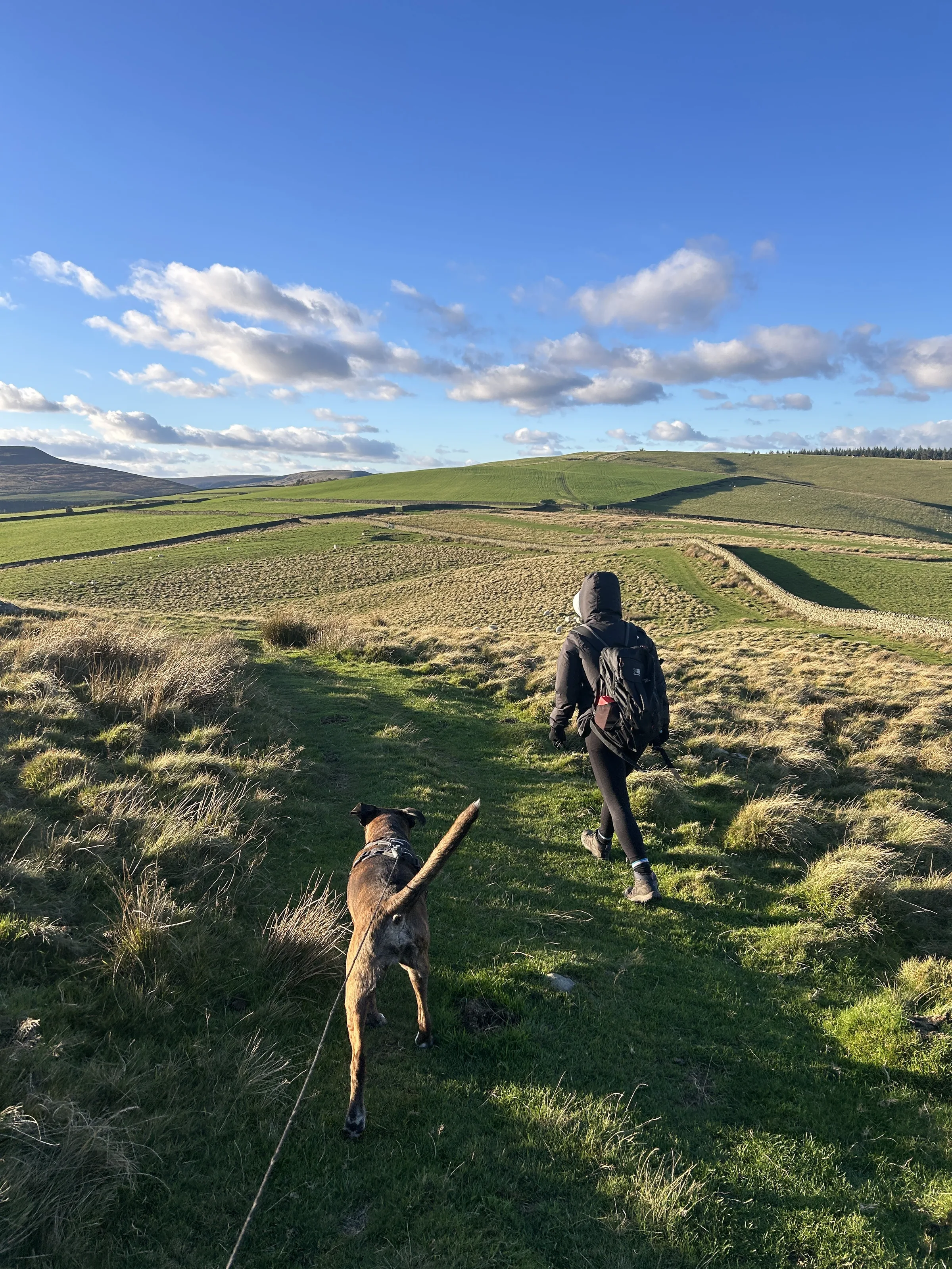
Over Bridge-end Pasture1.5 mi · 50m up · 55m downFollow the bridleway south-east along the top edge of the Hagg Side woods, with fields on your right. It rises gently over Bridge-end Pasture, the highest ground of the walk at just over 390m, at about the 5.8 mile mark, then drops to a dip with Crook Hill ahead.
- 6
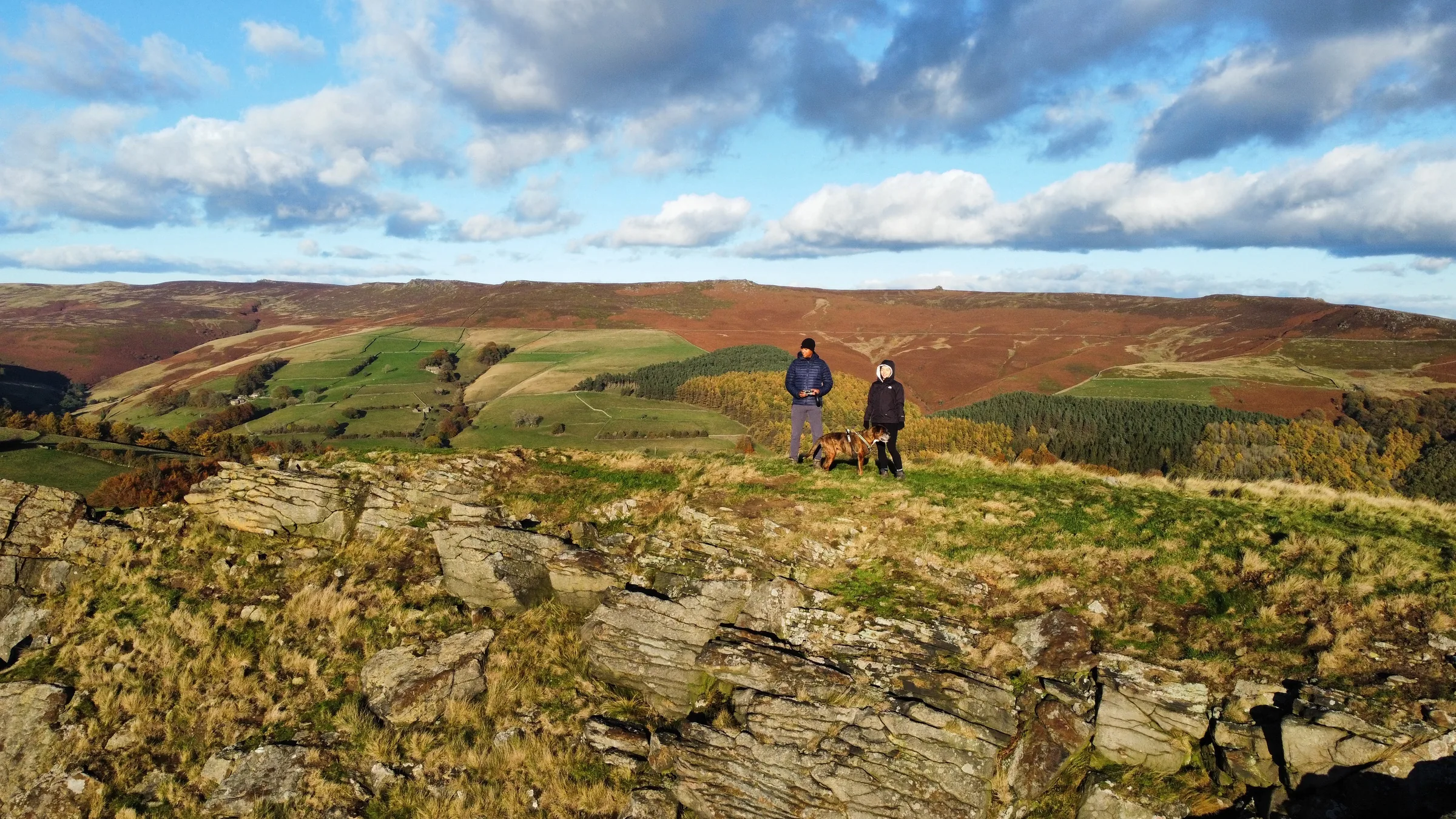
Below Crook Hill's Tops0.7 mi · 30m up · 75m downThe path runs along the eastern side of Crook Hill, below its two rocky tops. At about the 6.4 mile mark the higher top (382m) is only around 100m off the path to your right. Both tops are on open access land, so it's worth the short climb up the grass to the rocks before carrying on.
- 7
Back by Ashopton Viaduct1.7 mi · 20m up · 115m downFollow the bridleway down through Crookhill Farm and down its drive to the valley road, then on to the A57. Turn left over the Ashopton Viaduct and retrace your steps beside the A57 and back over the Ladybower Viaduct to Heatherdene.
Use the route on OS Maps, AllTrails or Komoot to navigate on the day; this guide is for planning.
Parking
The walk starts from the northern end of Heatherdene car park on the A6013 beside Ladybower Reservoir (S33 0BY), which is run by Severn Trent. It's pay and display: £3.50 for up to 2 hours, £6 for 2 to 4 hours or £7 for over 4 hours, so for this walk of 4 to 5 hours you'll need the over 4 hours ticket. You can pay by cash or card at the machines or with the RingGo app (zone 58250). The car park is open in daylight hours only, with no overnight parking, and closes in extreme weather. It's popular, so arrive early at weekends. There are toilets in the car park. Check the latest prices here.
*Prices correct at time of writing; check before you travel.
Alternative Parking
Facilities & Hospitality
Public toilets in Heatherdene car park, right at the start. They're open until around 5PM in winter and 7PM in summer, depending on staffing.
On the route at about 3.9 miles, just below Derwent Dam. There are toilets and an independently run refreshment kiosk, open daily from 8AM until at least 6PM. The visitor centre no longer offers face-to-face information.
About half a mile south of Heatherdene along the A6013, this inn below Ladybower Dam serves food, has 14 en-suite rooms and welcomes dogs.
Weather
Hike Videos
Note: Videos are made by other walkers, not The Lost Peak. They may not follow this exact route, and paths, conditions and facilities may have changed since filming.
Photo Gallery
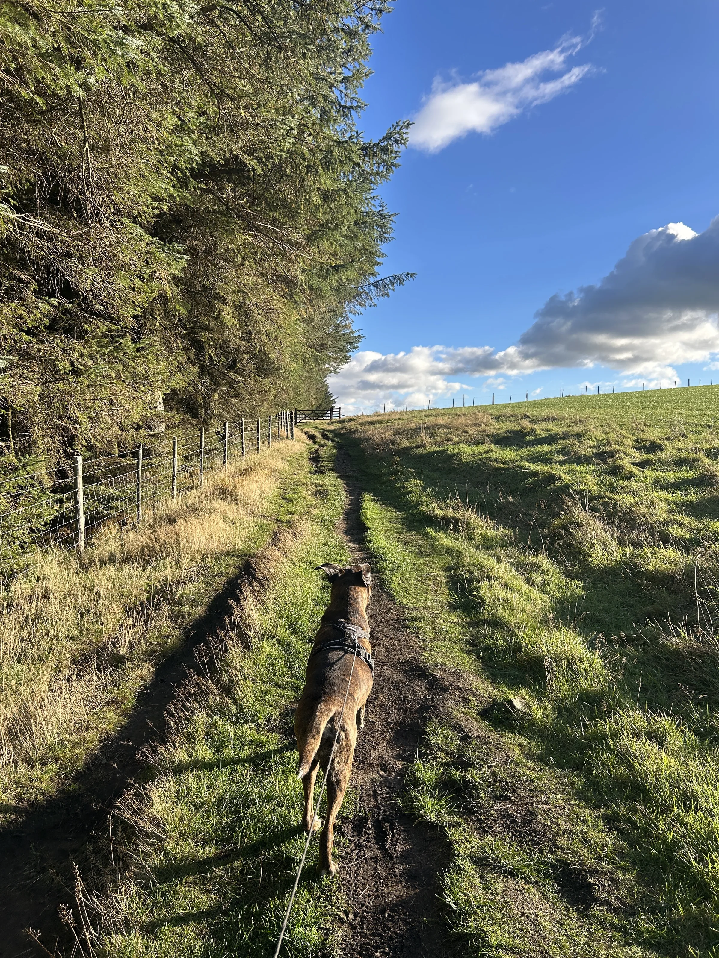
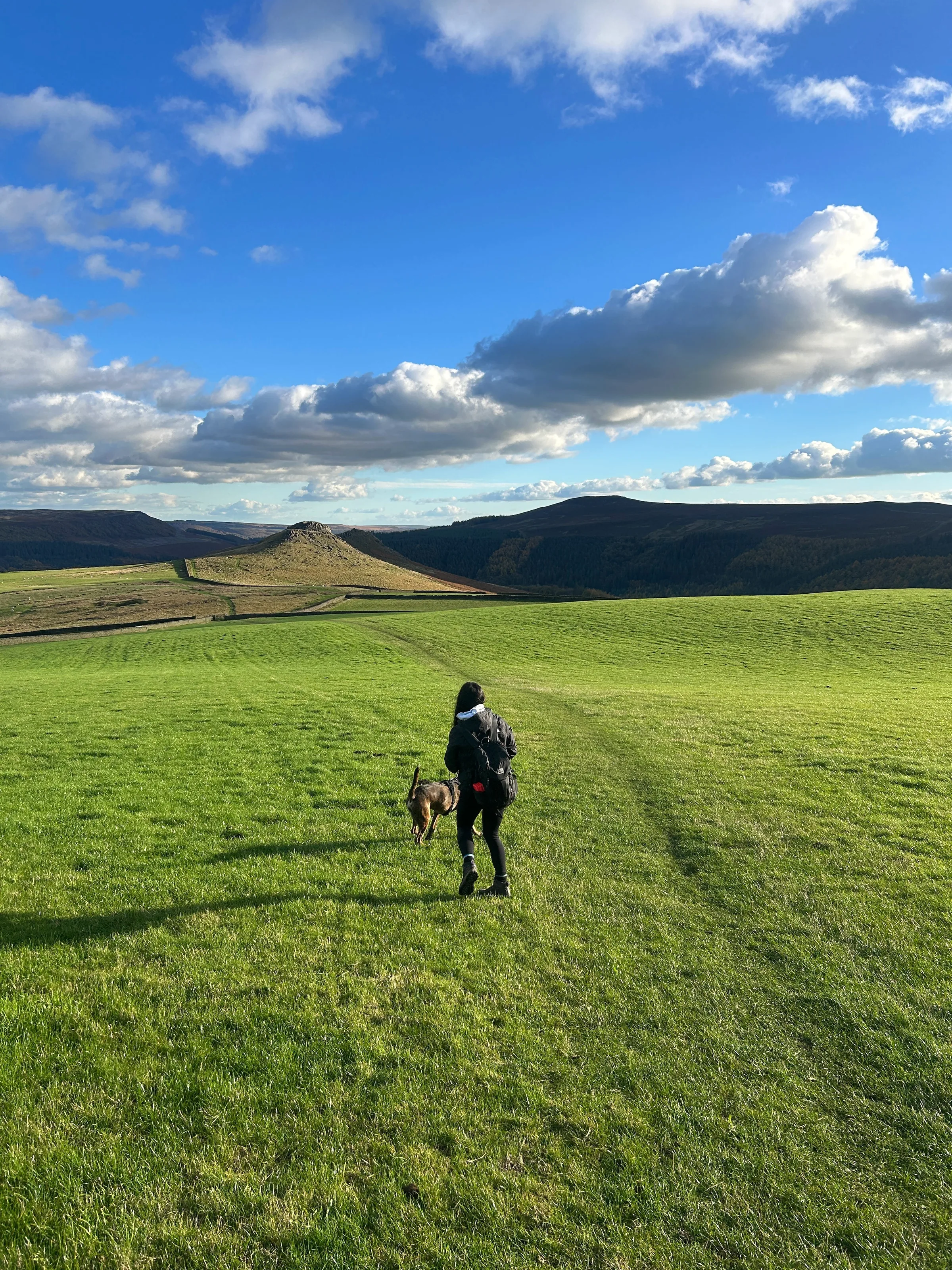
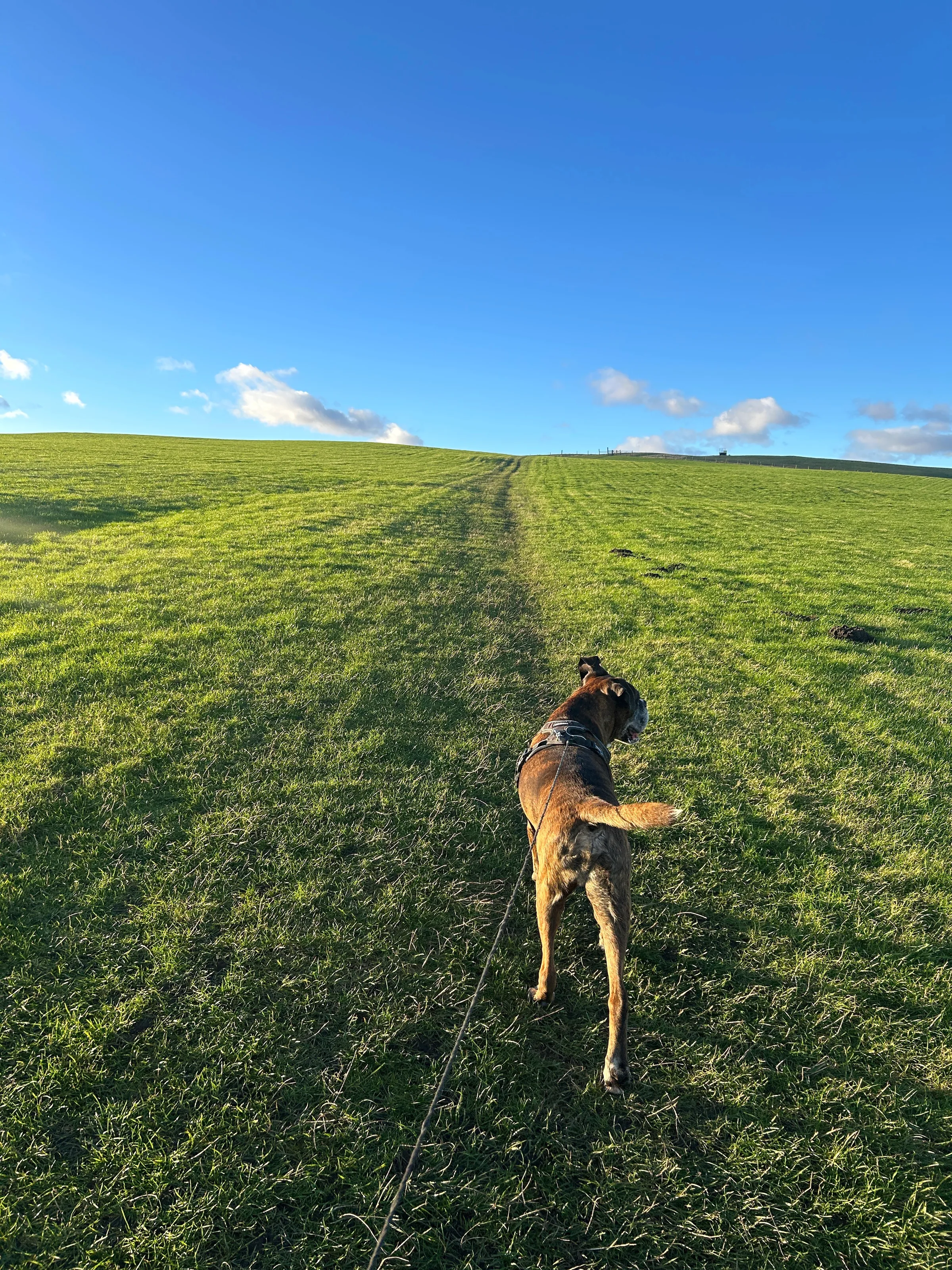
Photos
Photo credits
Photos without a credit are our own. These are used under Creative Commons licences; thank you to the photographers.
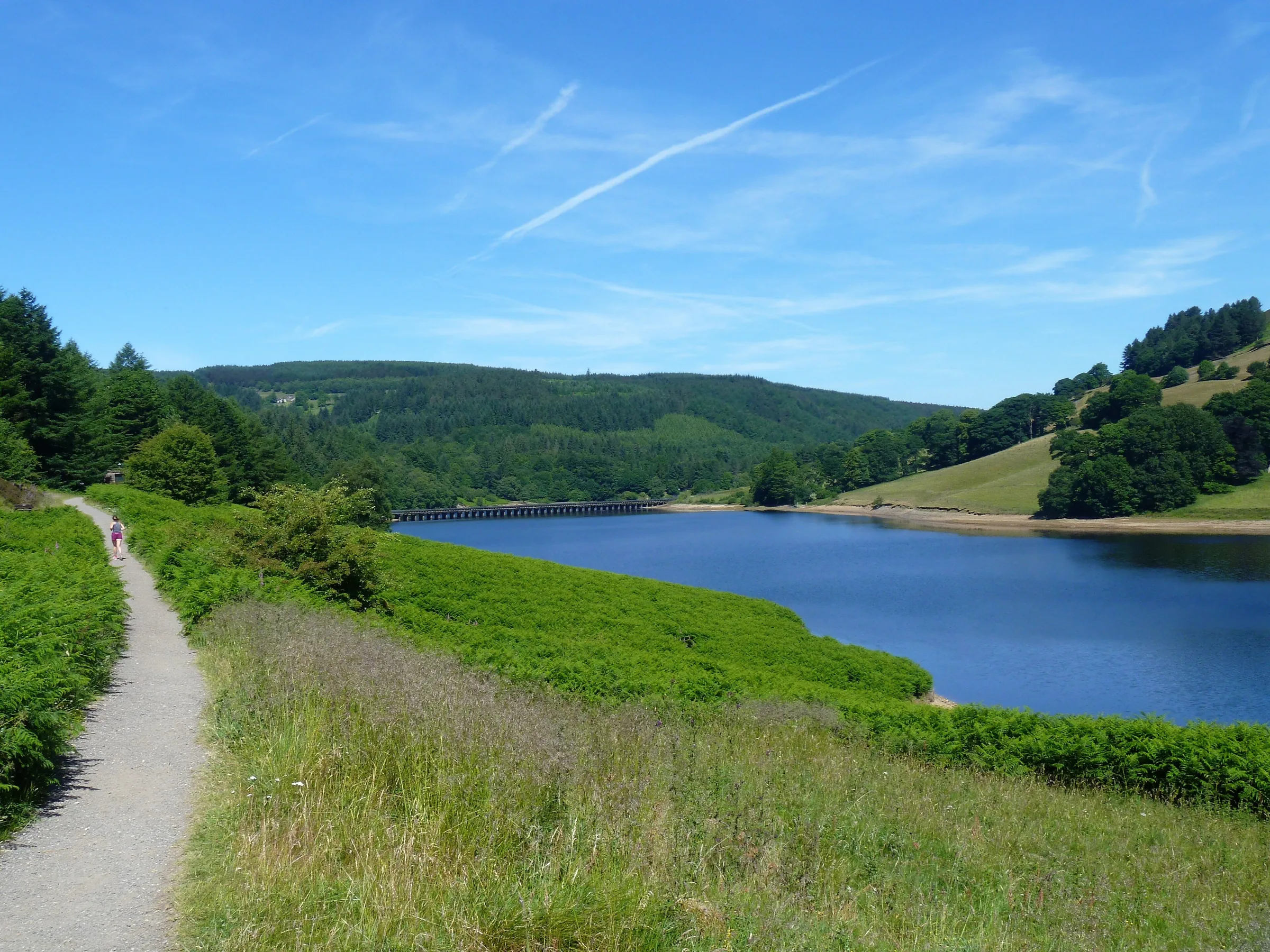
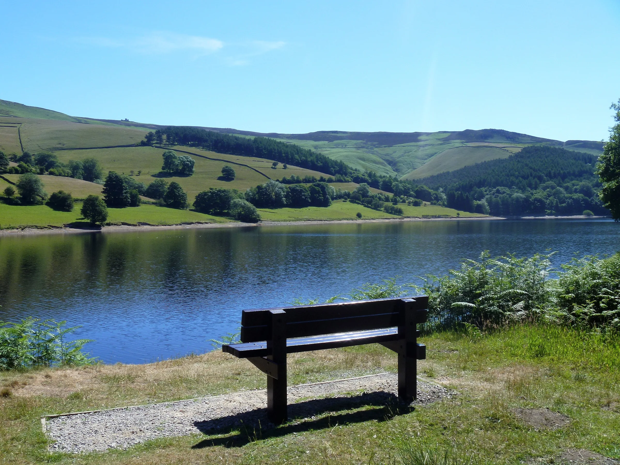
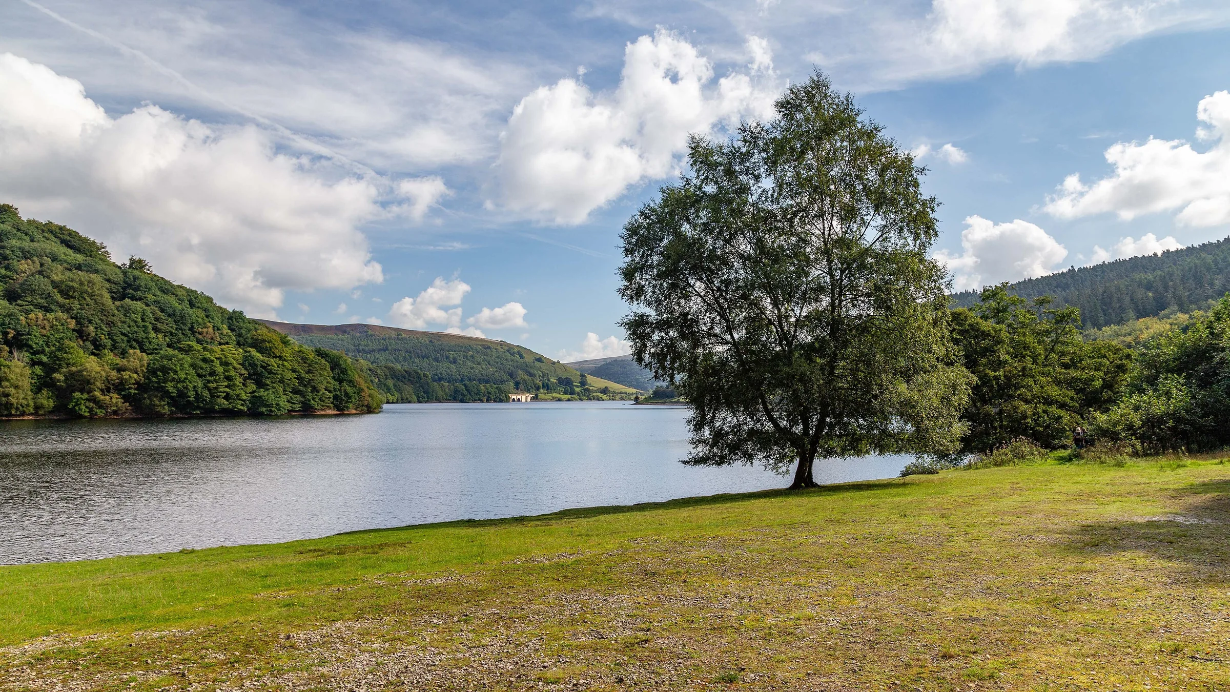
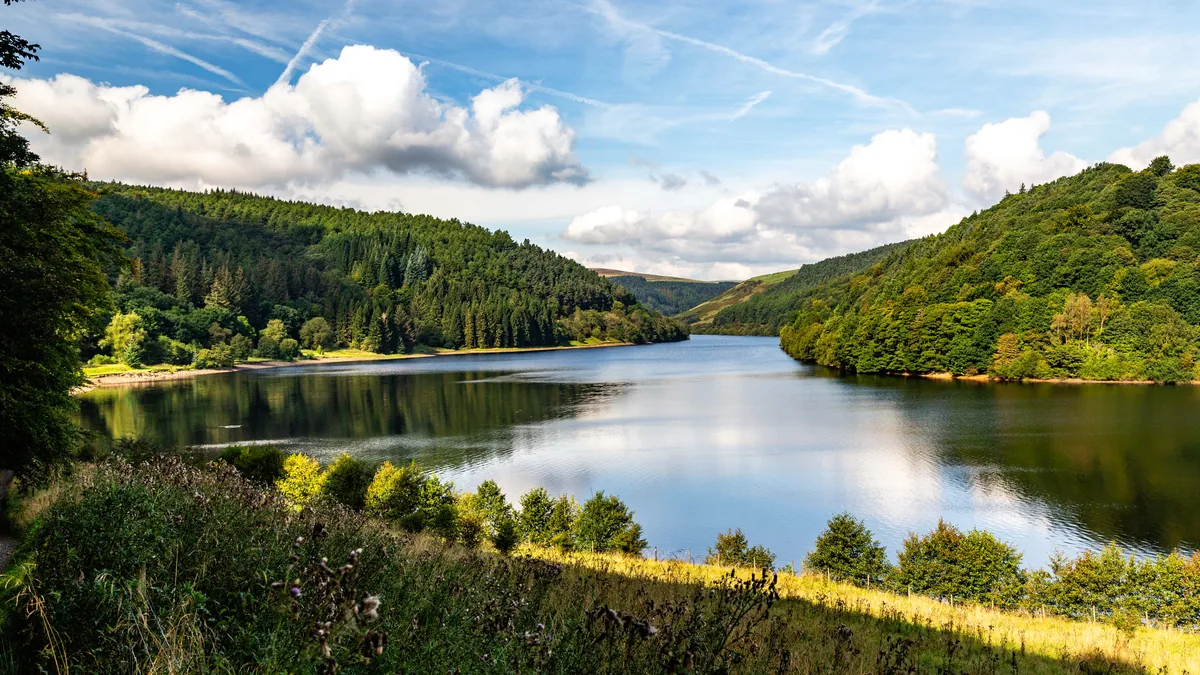 Ladybower ReservoirHero photo · by Peter McDermott, Wikimedia Commons (Geograph)Original photoCC BY-SA 2.0 licence
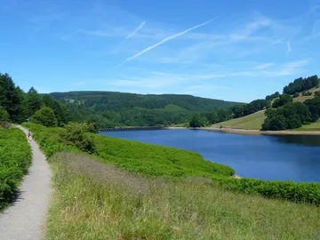
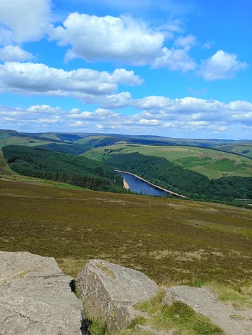
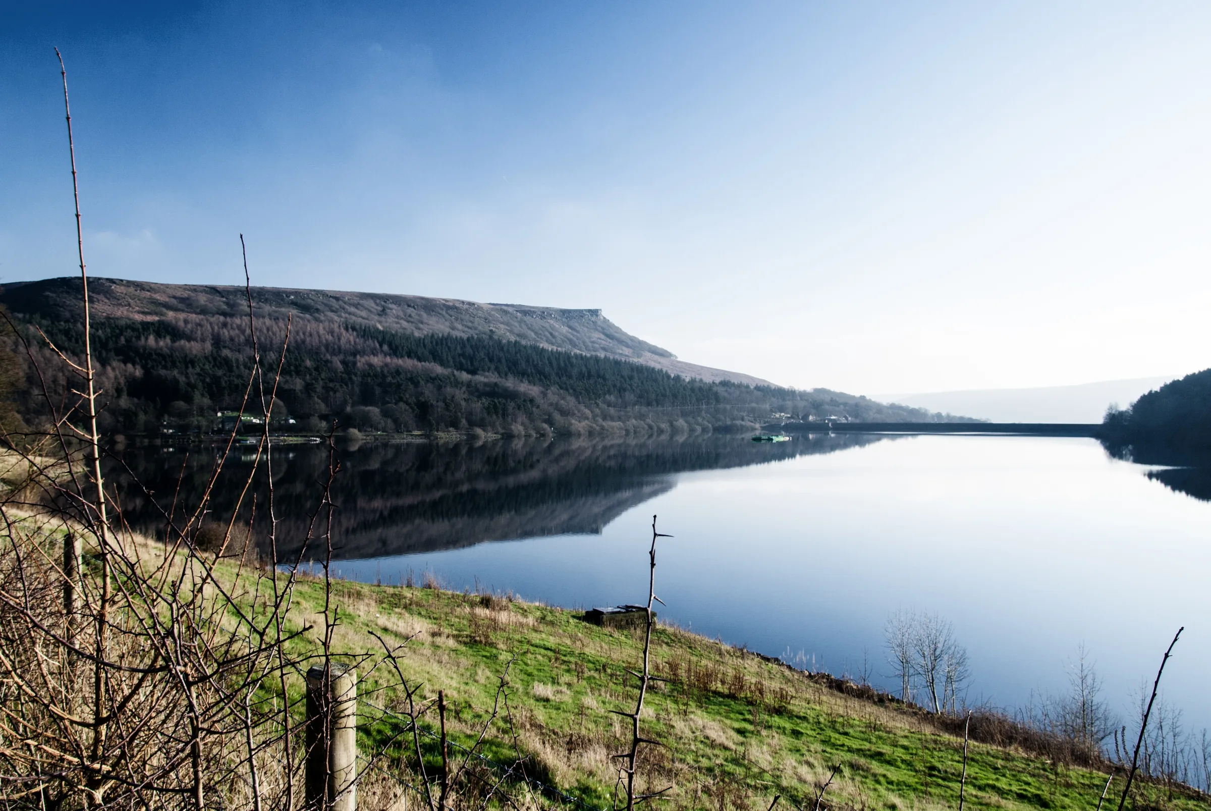
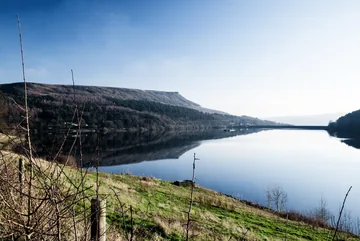 Ladybower Reservoir on a still, clear dayby Tim Fields, Wikimedia Commons (Flickr)Original photoCC BY 2.0 licence
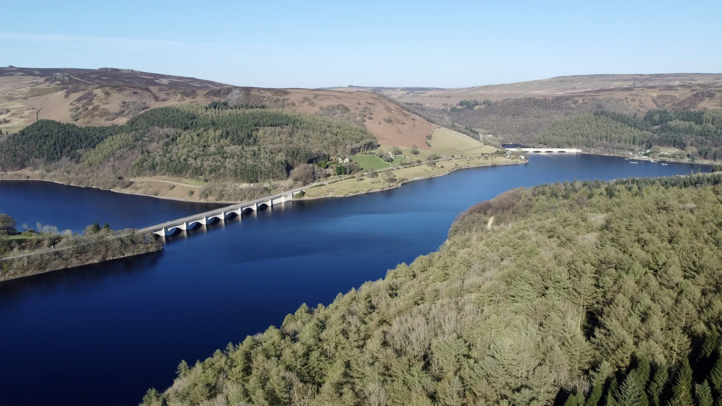
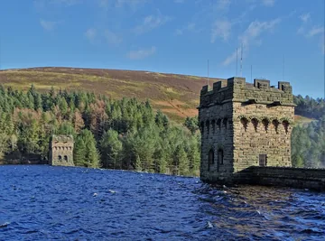 The east and west towers of Derwent Damby Neil Theasby, Wikimedia Commons (Geograph)Original photoCC BY-SA 2.0 licence
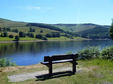
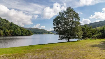 Ladybower Reservoirby Peter McDermott, Wikimedia Commons (Geograph)Original photoCC BY-SA 2.0 licence
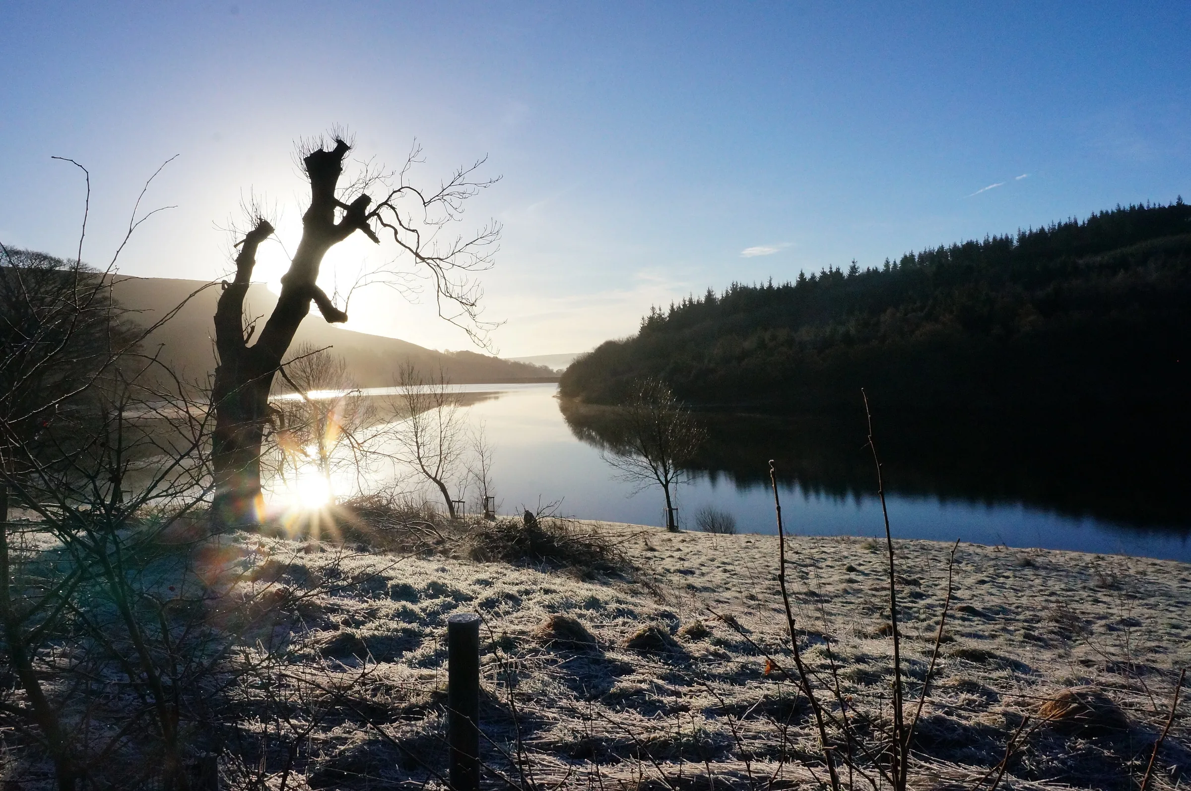
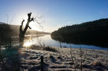 Ladybower Reservoir in January sunshineby Peter Barr, Wikimedia Commons (Geograph)Original photoCC BY-SA 2.0 licence
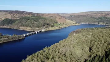
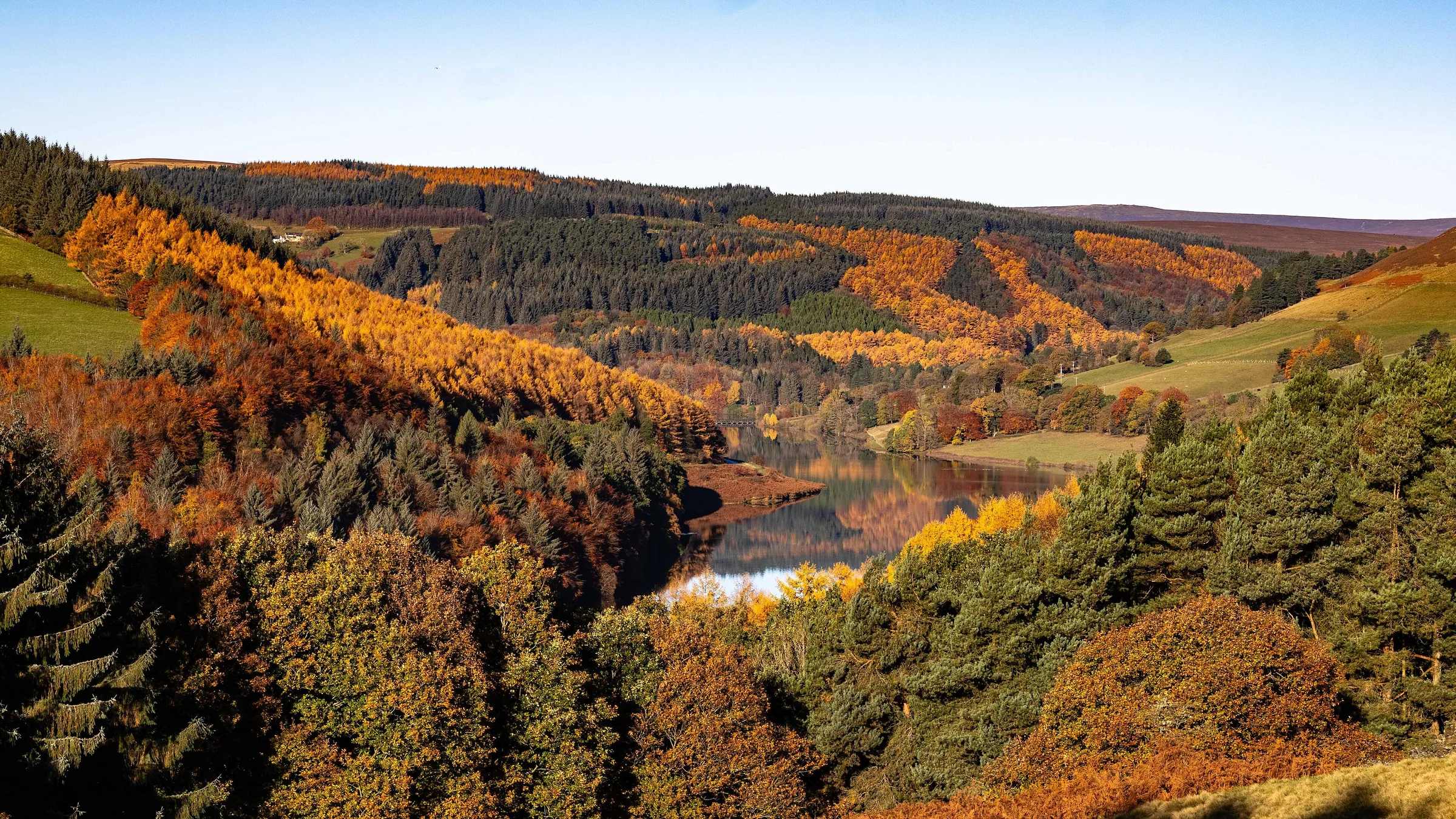
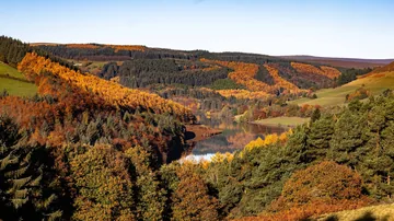 Ladybower Reservoirby Peter McDermott, Wikimedia Commons (Geograph)Original photoCC BY-SA 2.0 licence
Hints & Tips
Detour to the Tops
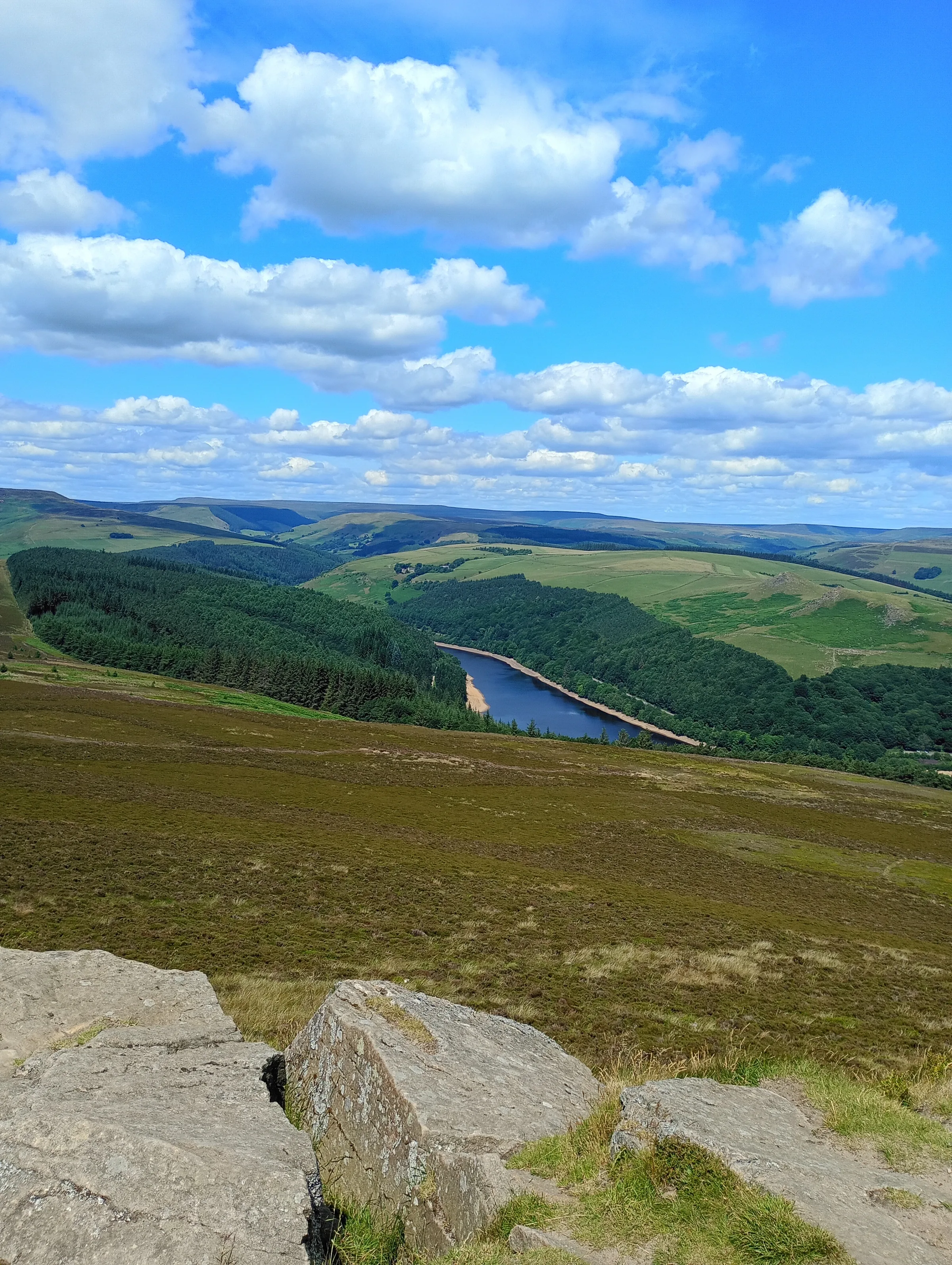
The bridleway doesn't go over Crook Hill's summit: it runs along the eastern foot of the two rocky tops. Both are on open access land, and the higher one is only about 100m off the path, so leave the bridleway at around 6.4 miles and climb up to the rocks. The views back over the water are the best of the day.
No Signal Up the Valley
There's no mobile signal in most of the Upper Derwent Valley, so don't count on your phone along the east shore or on the hill. The nearest signal is around Ashopton on the A57, close to the start, so download the route and pay for parking before you set off.
Toilets and Tea Halfway
Fairholmes, just after Derwent Dam at about 3.9 miles, is the only place on the walk with toilets and a refreshment kiosk, and it's a good place to stop before the steep climb through the woods. The toilets close around 5PM in winter and 7PM in summer, so don't leave it too late in the day.
Look for Lost Derwent
In a long dry spell the water drops and the remains of Derwent village can reappear on the reservoir bed beside the east shore. If you see them, look from the bank: in 2018 a man had to be rescued by mountain rescue after getting stuck in the thick mud around the ruins.
Interesting Facts
General
Two Tops, Two Names
Crook Hill has two rocky tops, 382m and 374m, and the lower one is sometimes called Ladycrook Hill, though that name isn't on Ordnance Survey maps
Higher Than the Hill
The highest ground on this walk isn't Crook Hill at all but Bridge-end Pasture, at just over 390m, which you cross about half a mile before the tops
A Village Under the Road
The Ashopton Viaduct, which carries the A57 over the reservoir, is named after the drowned village of Ashopton, most of which stood just south of it
A Piece of Kinder
Crook Hill is made of Kinder Scout Grit, a kind of sandstone, and is counted as an outlier of Kinder Scout even though Ladybower's western arm now lies between them
The Village Under the Water
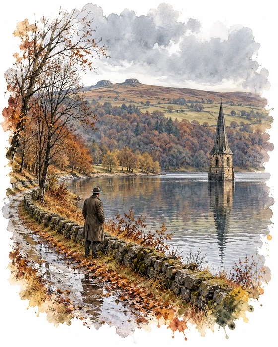
The quiet track up the east shore once led to a real village. Derwent stood in the valley here, with the 17th-century Derwent Hall, a church and a packhorse bridge over the river. Its neighbour Ashopton sat at a crossroads on the main road between Sheffield and Glossop, near where the A57 viaduct crosses the water today. It had a large coaching inn, a post office, a Methodist chapel built in 1840 and a wool fair every July.
Both villages were bought by the Derwent Valley Water Board to make way for Ladybower Reservoir, and the people who lived there had to move to new homes. The last service in Ashopton's chapel was held on 25 September 1939, and the last at Derwent church on 17 March 1943. Bodies were taken from Derwent churchyard and buried again at Bamford, the church bell was later hung in St Philip's Church at Chaddesden in Derby, and the packhorse bridge was taken down stone by stone and rebuilt at Slippery Stones, at the head of Howden Reservoir. The buildings that would end up under the water were knocked down before the reservoir filled.
Only Derwent's church spire was left standing, as a memorial. It stuck up out of the reservoir until 15 December 1947, when it was blown up because it was thought to be dangerous. In very dry summers the water still drops far enough for the ruins of Derwent to appear, as they did in 1959, 1976, 1995 and 2018, and thousands of people come to walk among the old walls and floors.
Crook Hill in the Bronze Age
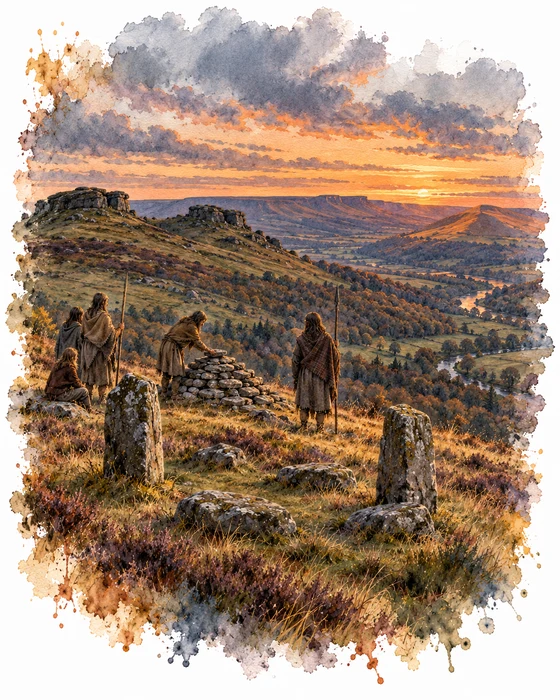
Long before the reservoirs, people farmed and buried their dead on Crook Hill. About 330m north-west of Crookhill Farm, which this walk passes through, is a small Bronze Age stone circle. It is roughly 7m across and made of five small stones: two still stand, about 0.4m and 0.6m high, and the other three lie flat. Inside are two patches of grass-covered rubble, so the stones may once have been the kerb around the edge of a cairn. Only digging could tell which, and it is a protected Scheduled Monument.
Nobody fully understands what stone circles like this were for. They were clearly important for ritual, and when they have been excavated they have often been a place for burials. Some may have been lined up with the sunrise or sunset at midsummer or midwinter, and others may have been meeting places for local groups. Circles were built from the late Neolithic to the middle Bronze Age, roughly 2400 to 1000 BC.
There are burial mounds too. One round cairn lies in the saddle between Crook Hill's two rocky tops, with views over both the Derwent and Woodlands valleys. Another lies west of the northern top, and close to it is a small pile of stones thought to have been cleared from the ground to make it better for farming. Round cairns were heaped over burials placed in stone-lined boxes called cists, and together these remains show that Bronze Age people both lived and held ceremonies on this hill.
More Hikes
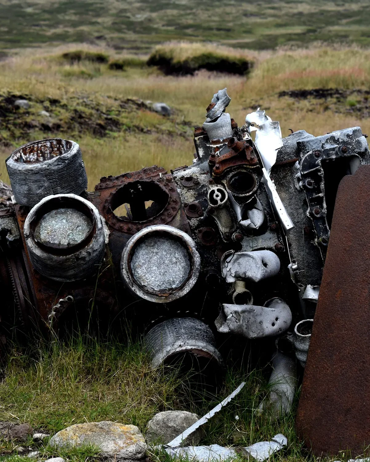 ModerateThe Crashed Plane3.7 mi · 2–3 hrs · 145m
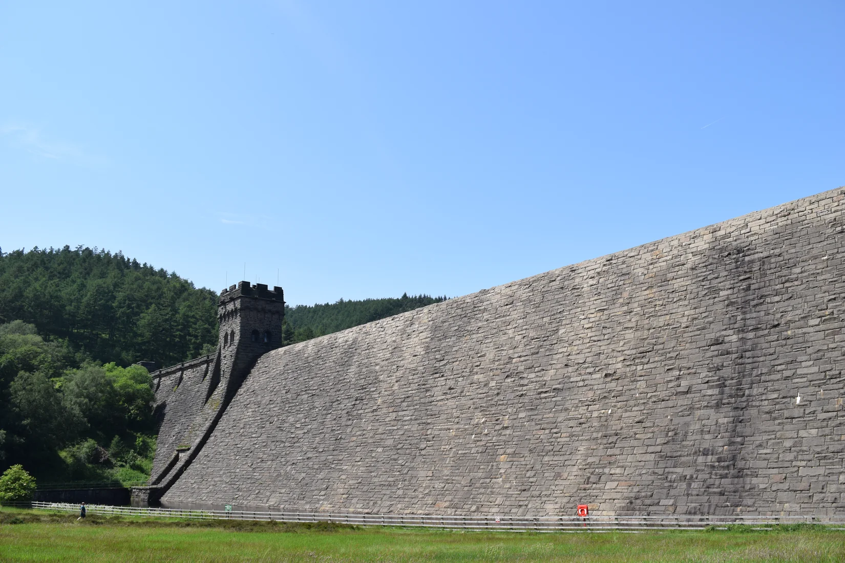 ModerateDerwent Edge7.5 mi · 3–4 hrs · 367m
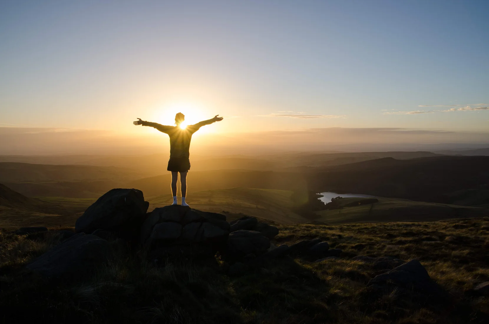 HardKinder Scout9.4 mi · 4–6 hrs · 635m
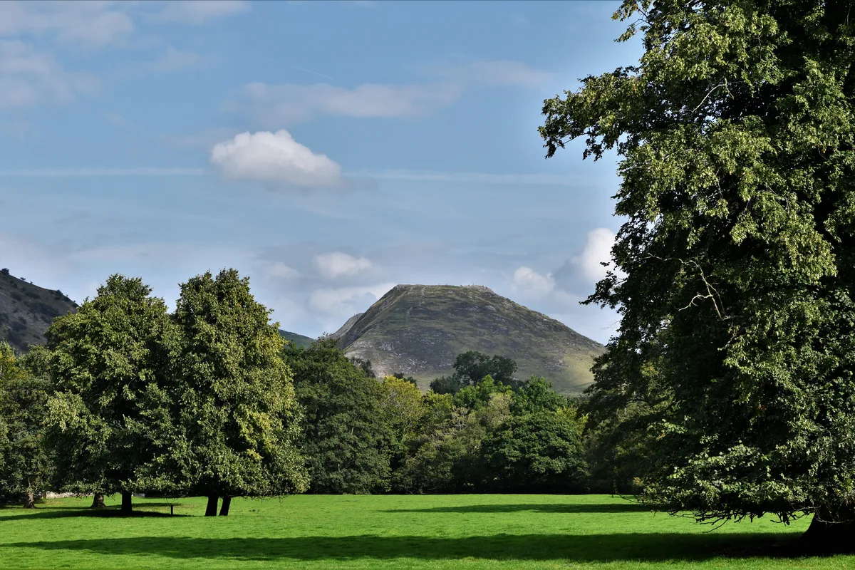 ModerateDovedale & Thorpe Cloud6.8 mi · 3½–4½ hrs · 476m
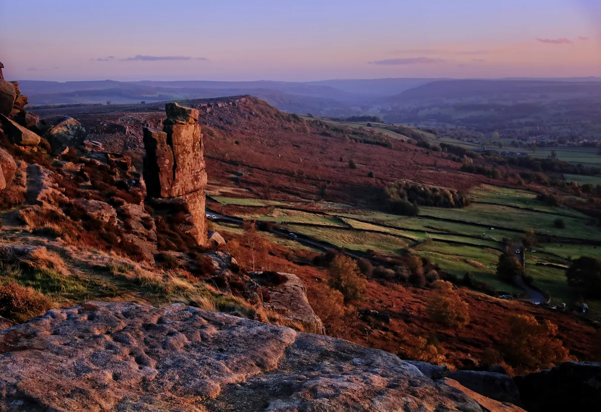 EasyCurbar & Froggatt Edges5.8 mi · 2½–3½ hrs · 252m
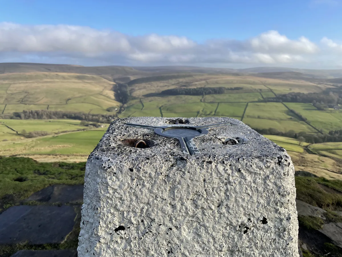 ModerateShutlingsloe6.4 mi · 3–4 hrs · 429m
Subscribe for updates on new hikes and National Parks
One email a month with new hikes and routes. No spam.