



Contents
Overview
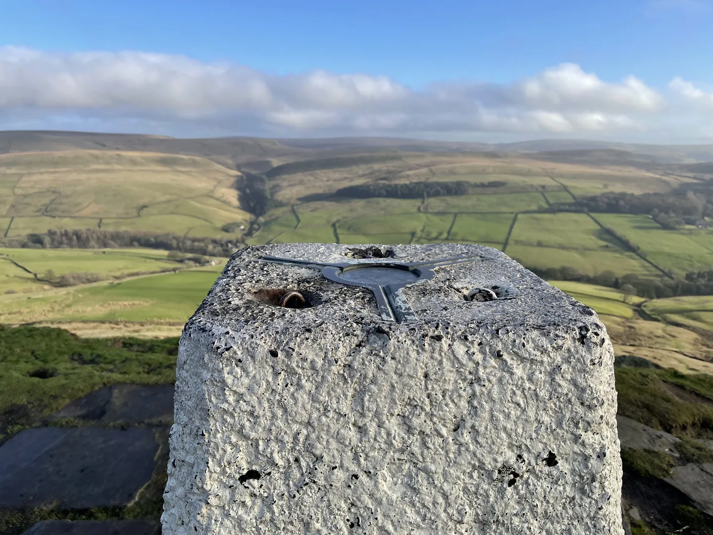
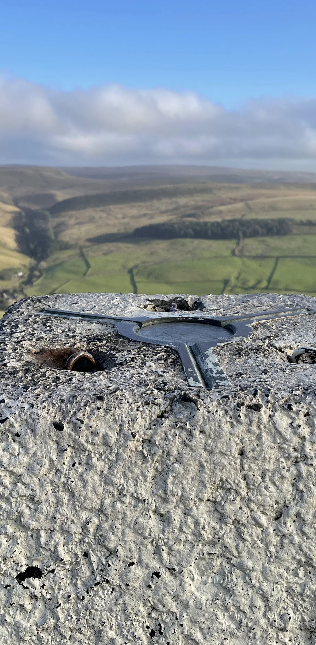
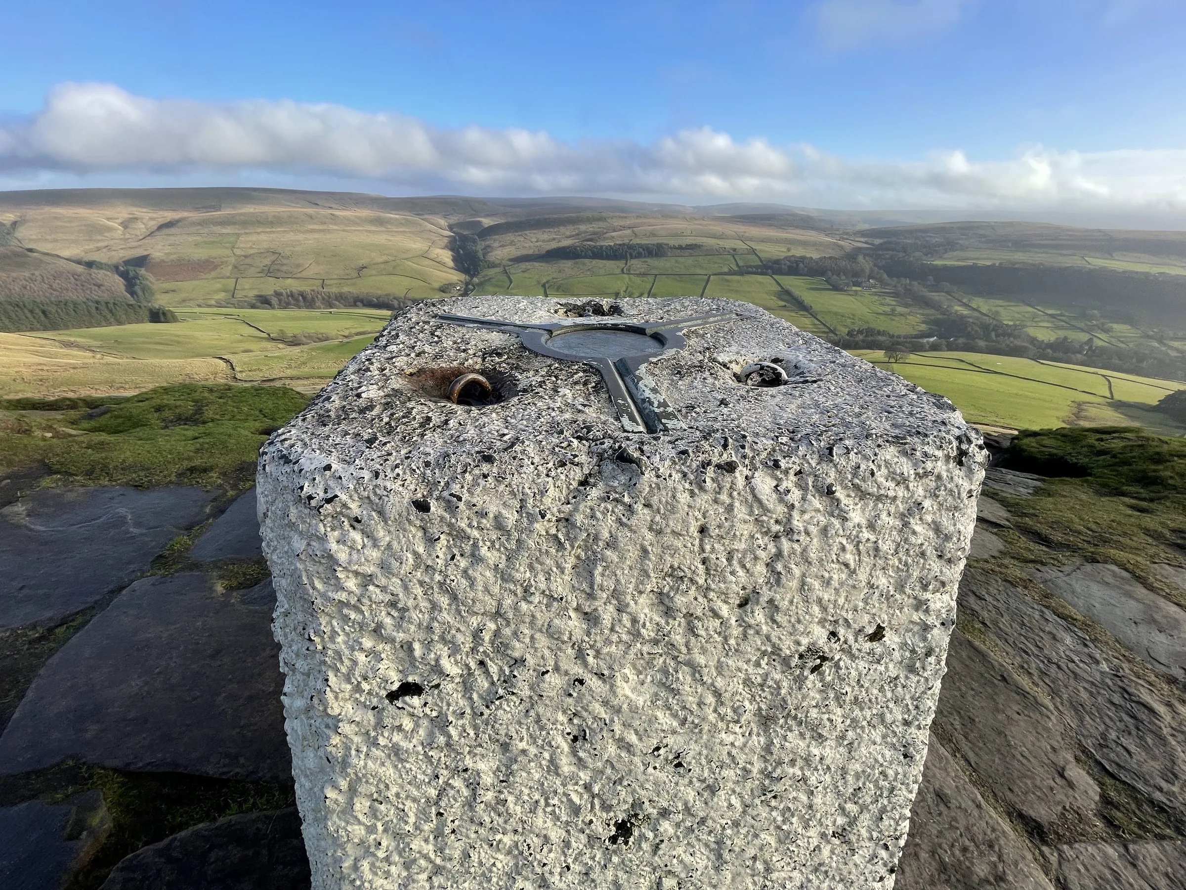
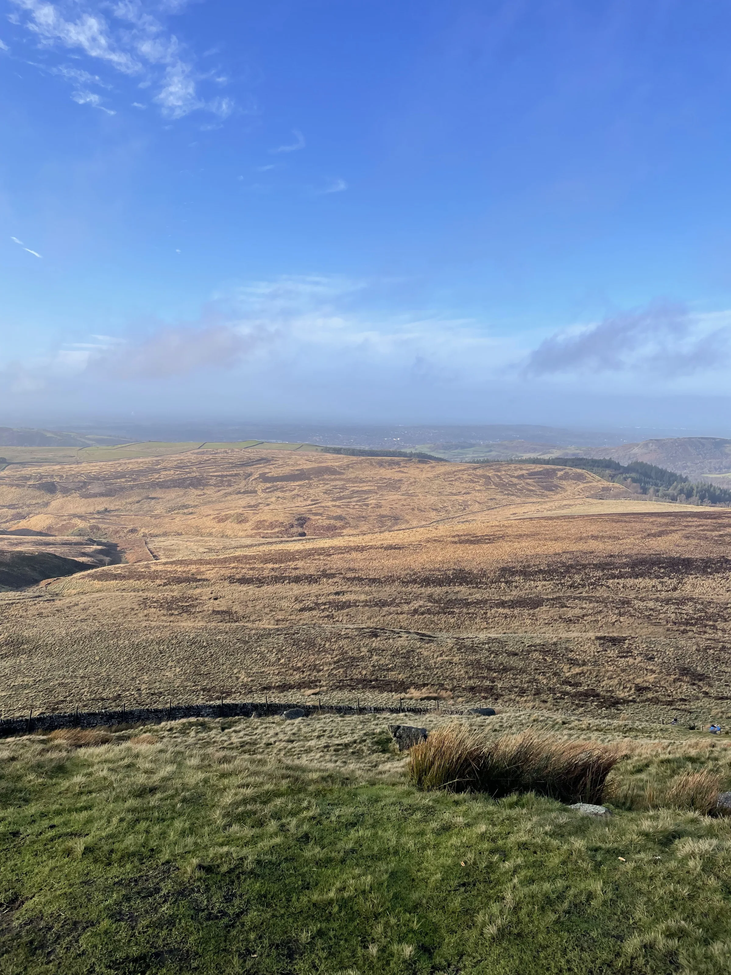
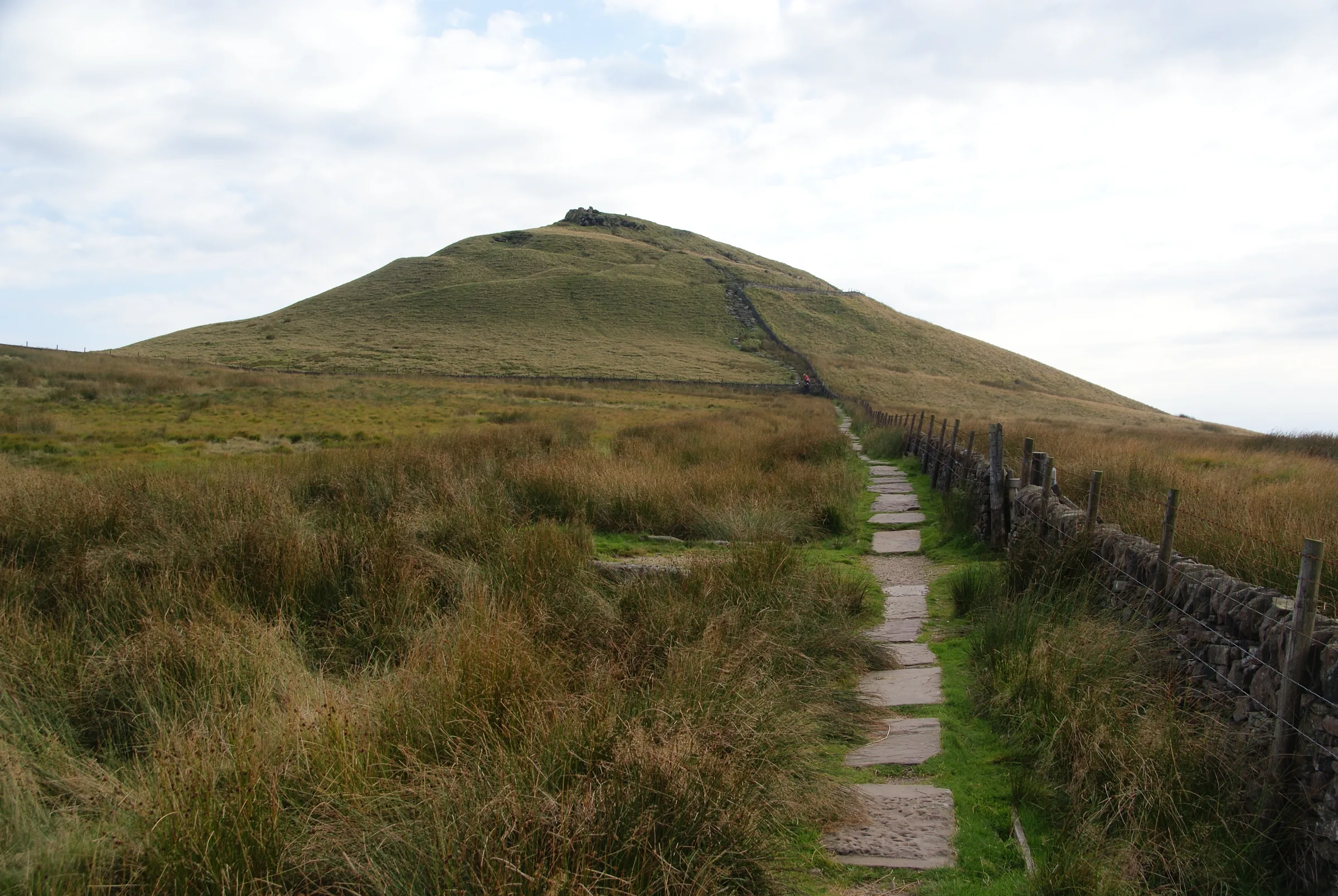
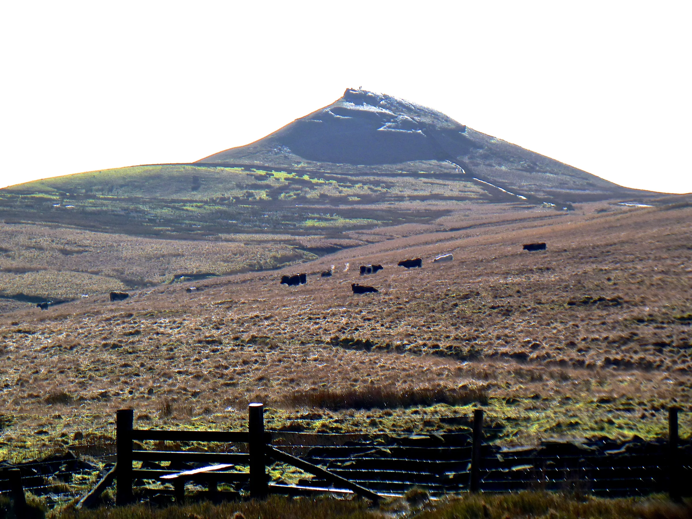
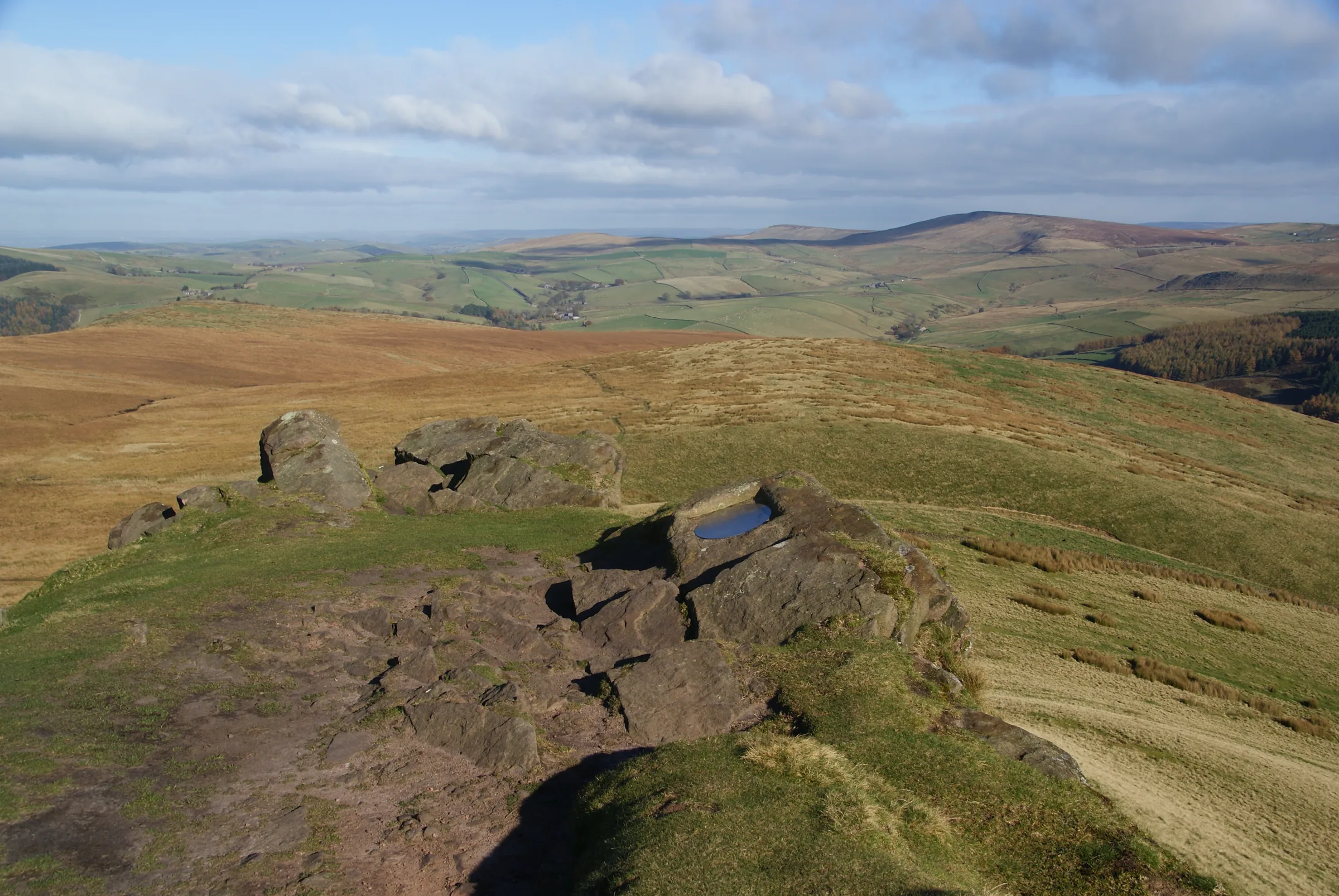
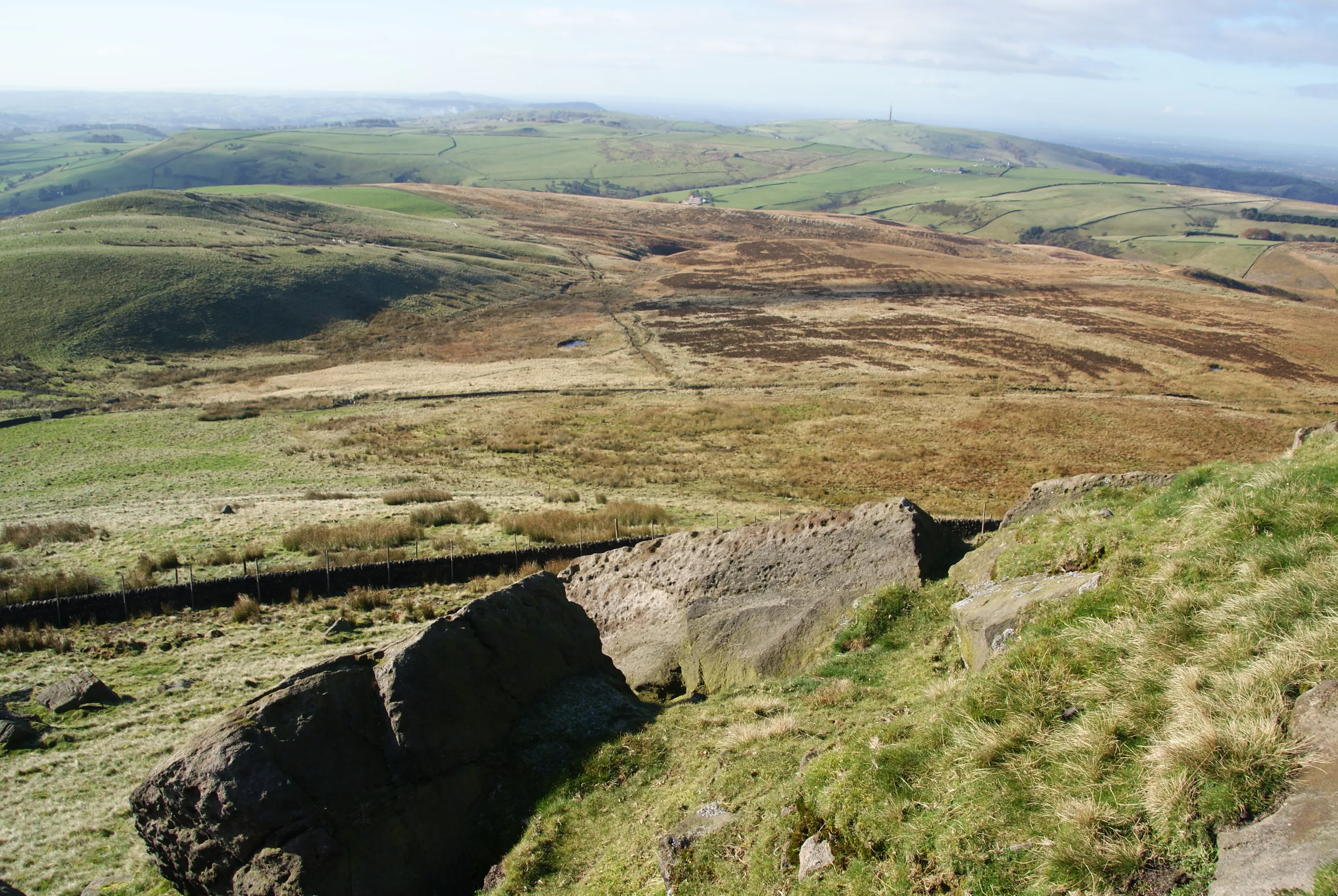
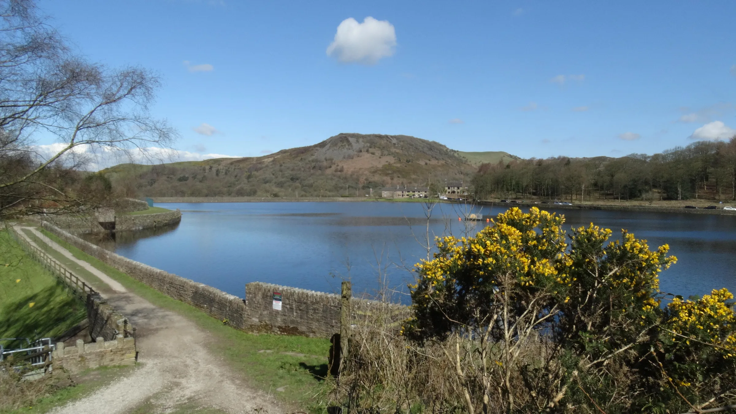
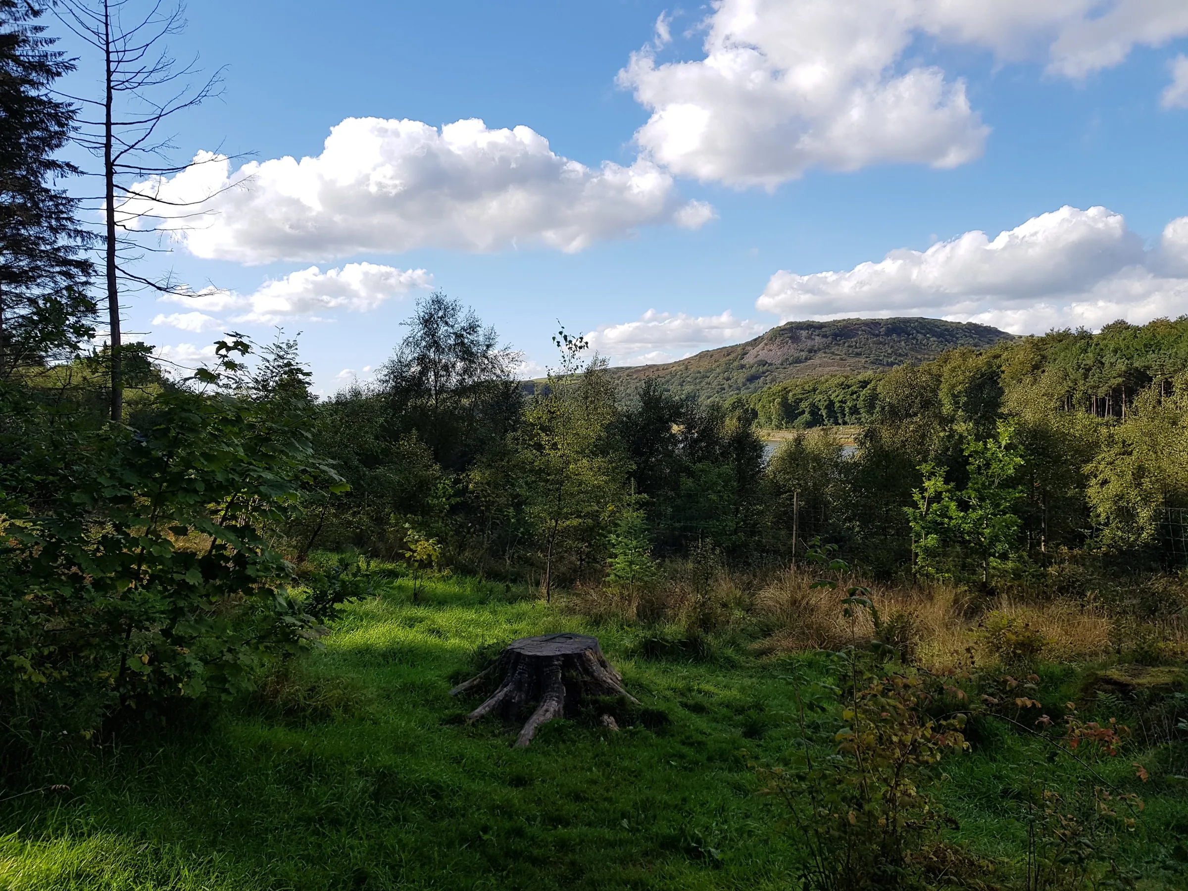
Steep sides and a distinctive profile have earned Shutlingsloe the nickname the Matterhorn of Cheshire. It's only the third highest hill in the old county, at 506m, yet its rocky summit tor looks out over the whole of the Cheshire Plain and across the Peak District, and on a clear day you can see as far as the Mersey Estuary and the Clwydian Hills in Wales. Below it lies Macclesfield Forest, the last big remnant of a medieval hunting forest, where grey herons nest high in the trees around Trentabank Reservoir.
This loop starts at Trentabank and climbs south-east through the conifers of the forest. Leaving the trees, a flagged path crosses the open moor, and a short, steep climb up stone steps takes you to the trig point on the summit. You come back down the same path for a little way, then head north across the moor and back into the forest, crossing Bolin Brook before a short climb up the lane past Forest Chapel. From there the route heads west along paths high in the forest, then drops down a bridleway through the trees to Ridgegate Reservoir and follows paths back to Trentabank. This walk takes in one of the Peak District's Ethels: Shutlingsloe. Find all 95 on our Ethels map.
Go prepared, stay safe,
and enjoy the hike!
Key Info
Crowds
Moderate
Macclesfield Forest's wide paths are well used by walkers, cyclists, runners and riders, and Trentabank car park has a refreshments van on busy days. Sunny weekends and the school holidays are the busiest times. Like most popular Peak District hills, Shutlingsloe is usually quieter on weekdays and early or late in the day.
When it gets busy
- Sunny weekends and school holidays
- The wide forest tracks, shared with cyclists, runners, dog walkers and riders
- Trentabank car park on busy days
For a quieter walk
- Arrive early or late in the day on sunny weekends and in the school holidays
- Go on a weekday if you can
- The footpath past Bollin Brook is a little quieter than the main forest tracks
- A snowy day is a great time to have the woods more to yourself, if you are equipped for it
- Trentabank charges stop at 6PM, so an evening walk is cheaper as well as usually quieter
- On a quiet day there is free roadside parking just past the Trentabank entrance
Our crowd rating is for a typical sunny weekend in spring or summer, in the middle of the day. Timing makes a big difference, so even a busy walk can be quiet early, late or midweek.
The Route
Disclaimer: Route information and GPX files are provided for general guidance only. Conditions can change, so always use your own judgement and navigate responsibly. See our Terms of Use & Disclaimer for more information.
Route Guide
- 1
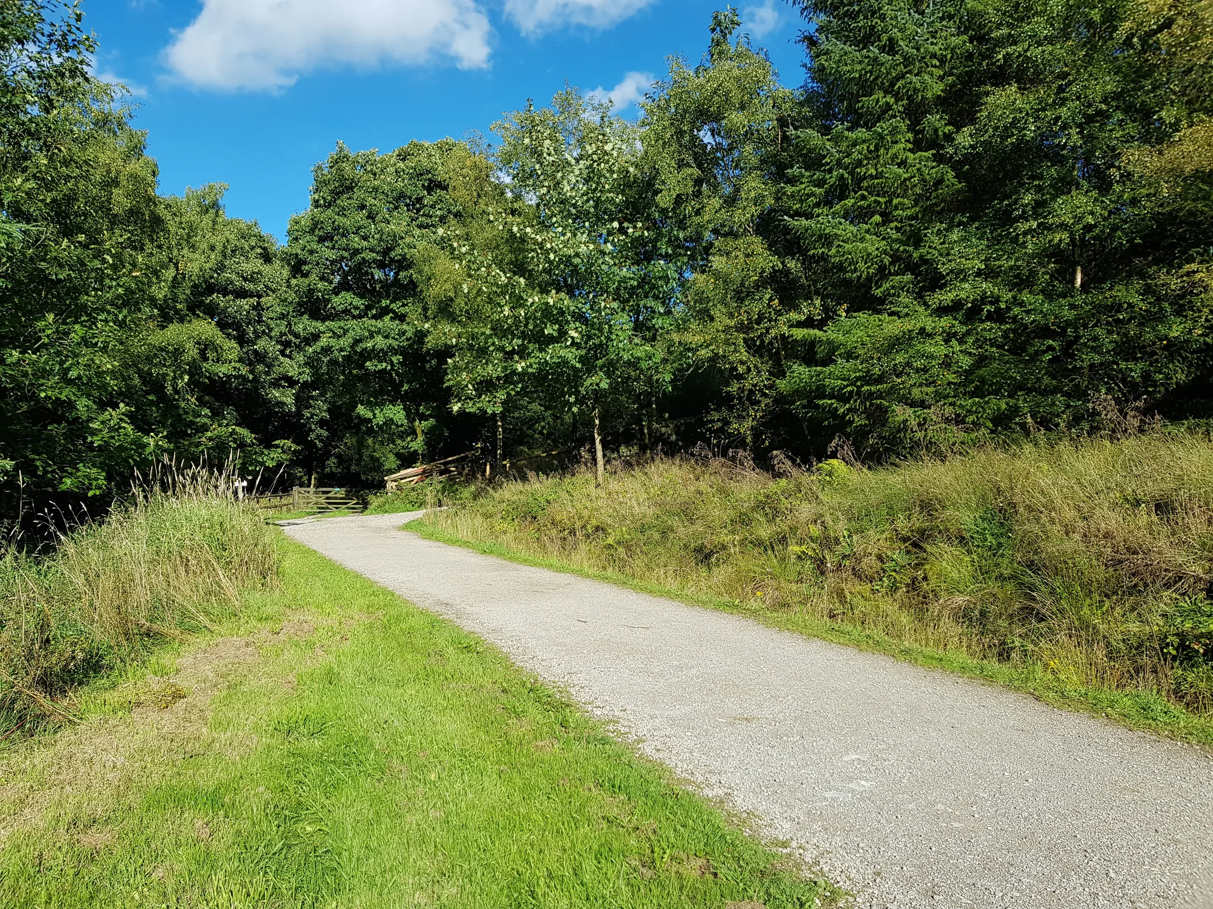
Up through the forest1.0 mi · 140m upFrom the car park, follow the path south and then east into the trees, climbing steadily through the conifers. After about three-quarters of a mile you join the forest bridleway; keep following it and the signs for Shutlingsloe until the path leaves the forest.
- 2
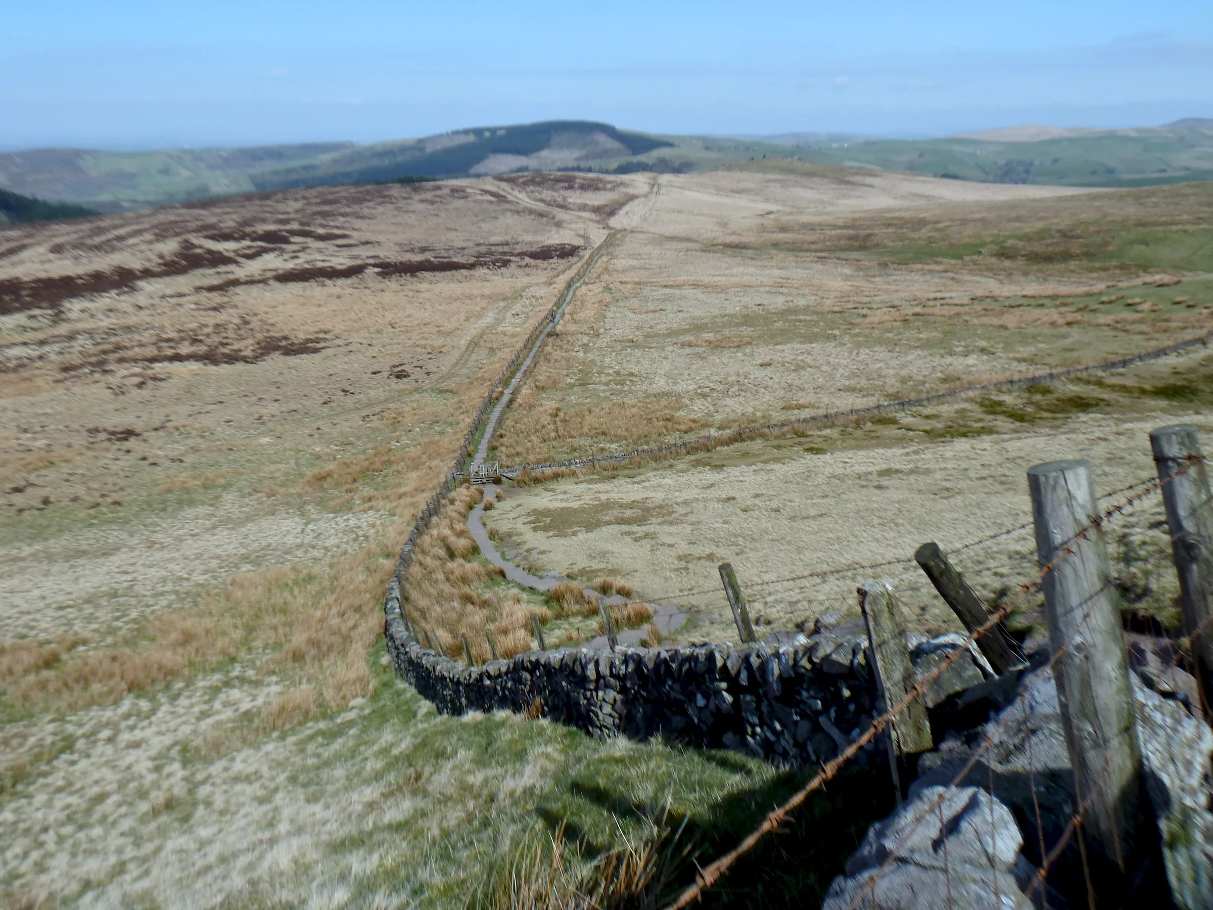
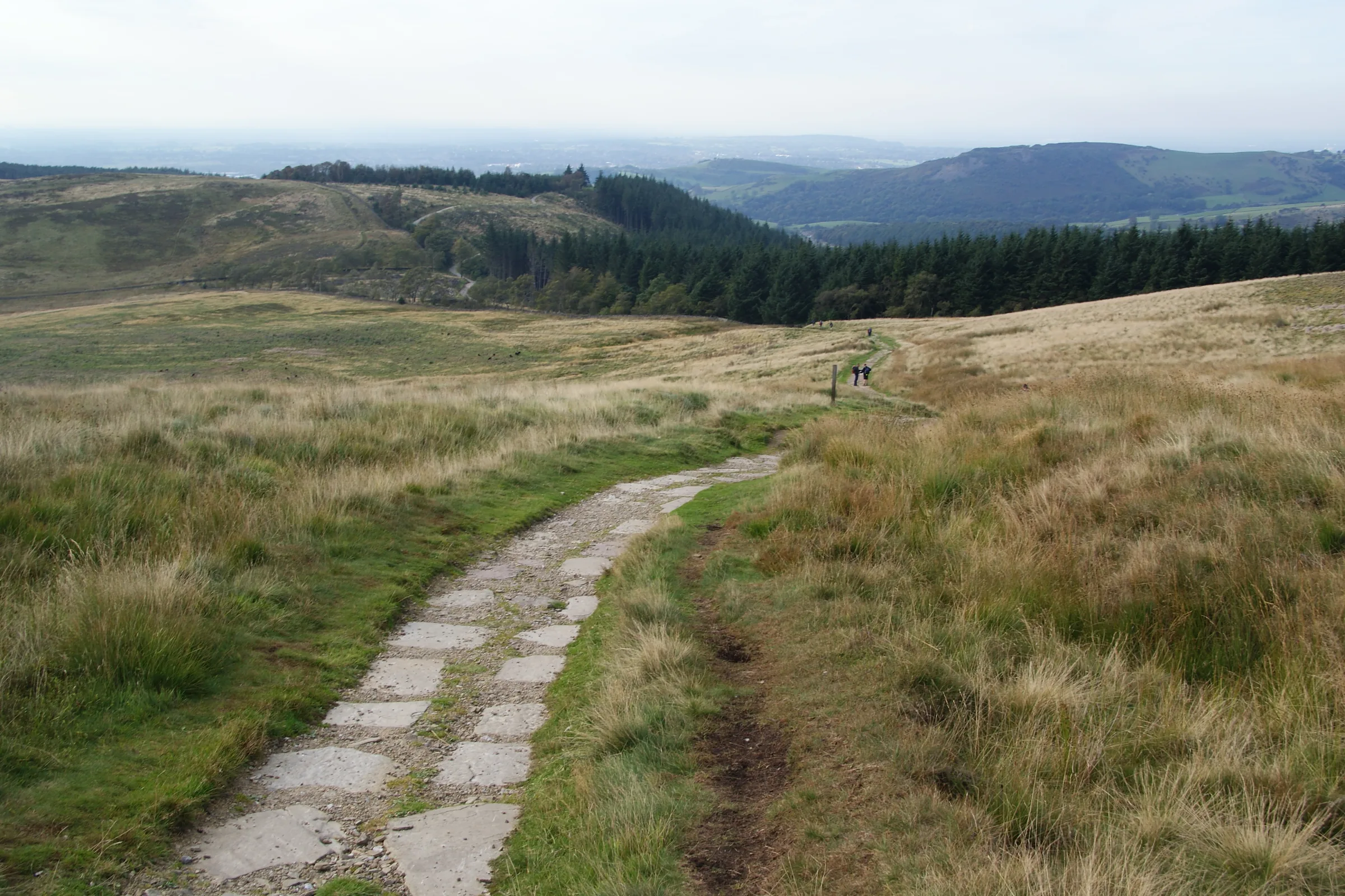
Flagged path to the summit0.6 mi · 80m up · 5m downA flagged path crosses the open moor towards the summit. Go through the gate in the wall and follow the wall, then climb the steep stone steps to the trig point on top. Watch your footing on the rocky summit.
- 3
North across the moor0.7 mi · 5m up · 50m downHead back down the same path for about a third of a mile. Where the path you came up bears off to the left, keep straight on north across the moor, dropping gently back into the forest.
- 4
Down to Bolin Brook1.1 mi · 20m up · 110m downFollow the paths and the bridleway north through the trees, then turn west and drop down to cross Bolin Brook, the lowest point of this section.
- 5
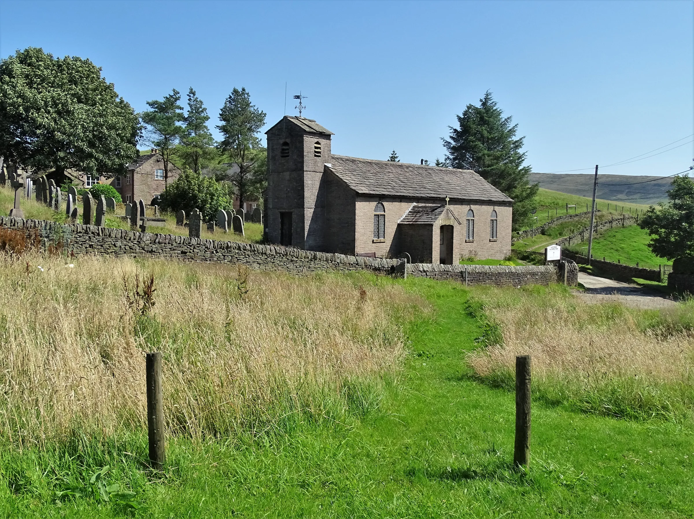
Past Forest Chapel0.4 mi · 65m upClimb up to the lane, then follow the lanes uphill past Forest Chapel, the little church that stands on its own at the edge of the forest.
- 6
High forest paths1.3 mi · 30m up · 160m downTurn left onto the path heading west into the forest, climbing to the highest point of the second half of the walk. Then drop steeply to a track and follow the bridleway south-west down through the trees.
- 7
Round Ridgegate Reservoir1.3 mi · 60m up · 75m downFollow the lane west above Ridgegate Reservoir, then loop round its far end and follow the paths east through the woods back to Trentabank.
Use the route on OS Maps, AllTrails or Komoot to navigate on the day; this guide is for planning.
Parking
Trentabank car park is run by the Peak District National Park Authority and sits next to the Trentabank ranger centre in Macclesfield Forest (SK11 0NS, but the postcode covers a wide area, so use the map directions above). It has 35 spaces and public toilets. Charges apply from 9AM to 6PM every day: about £2.10 for up to an hour, £3.40 for up to two hours, £5.50 for up to four hours or £6.60 all day, and Blue Badge holders park free. You can pay at the machine or with the RingGo app (location 51726). The machine should take cards and coins, but some recent visitors have found it only takes coins, so it's worth carrying change. On busy days a refreshments van parks here. Check the latest prices here.
*Prices correct at time of writing; check before you travel.
Facilities & Hospitality
In the car park at the start. Open 7:30AM to 6PM from April to October and 7:30AM to 5PM from November to March. The accessible toilet doesn't need a RADAR key, but there's no baby change.
An 18th-century stone former smithy, now a pub, on Clarke Lane overlooking Ridgegate Reservoir, close to the route near the end of the walk. It serves lunches and evening meals, with specials on the boards, but it's closed on Monday and Tuesday evenings in winter, so check before you go.
Weather
Hike Videos
Note: Videos are made by other walkers, not The Lost Peak. They may not follow this exact route, and paths, conditions and facilities may have changed since filming.
Photo Gallery
Photos
Photo credits
Photos without a credit are our own. These are used under Creative Commons licences; thank you to the photographers.
 Paved path to Shutlingsloeby Bill Boaden, Wikimedia Commons (Geograph)Original photoCC BY-SA 2.0 licence
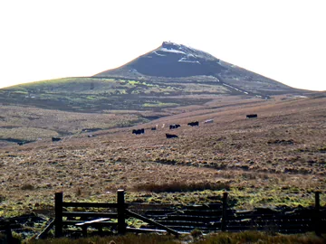 View of Shutlingsloeby Anthony O'Neil, Wikimedia Commons (Geograph)Original photoCC BY-SA 2.0 licence
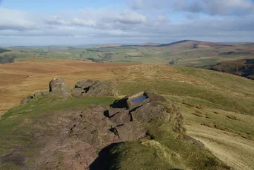 The northern end of the Shutlingsloe summit ridgeby Bill Boaden, Wikimedia Commons (Geograph)Original photoCC BY-SA 2.0 licence
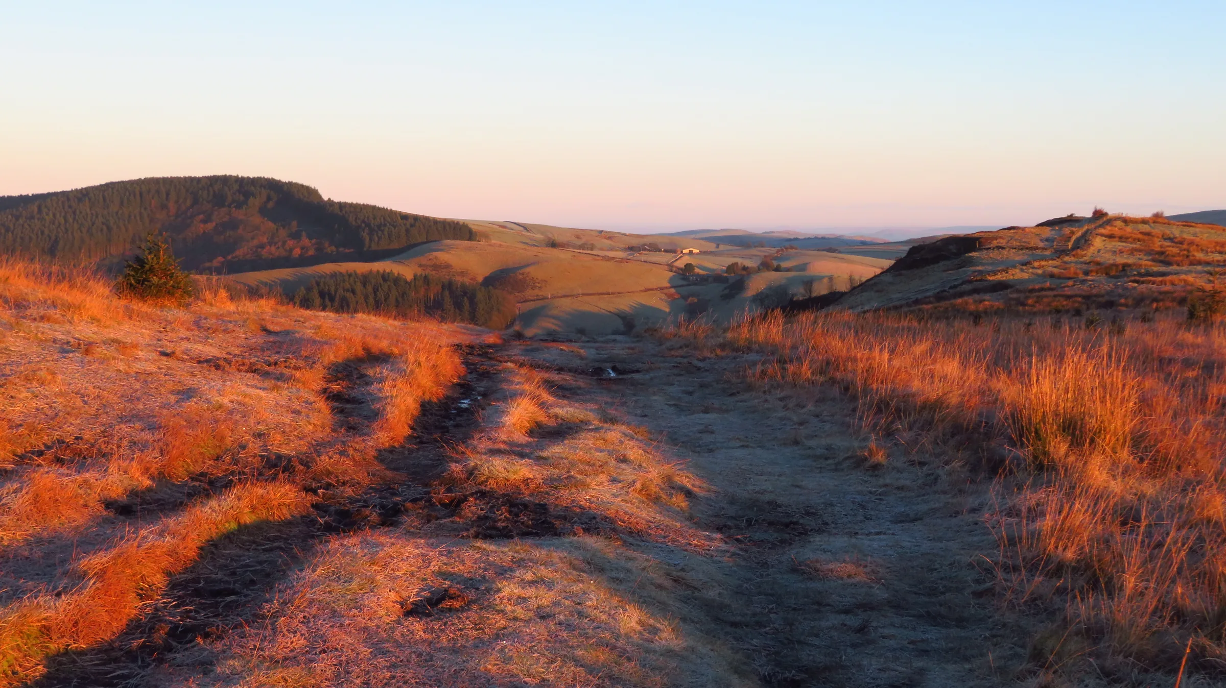
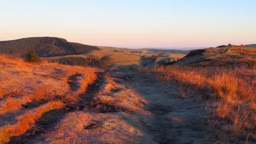 Early morning on Buxtors Hill above Macclesfield Forestby Colin Park, Wikimedia Commons (Geograph)Original photoCC BY-SA 2.0 licence
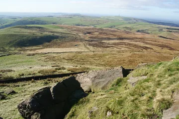 The southern end of the Shutlingsloe summit ridgeby Bill Boaden, Wikimedia Commons (Geograph)Original photoCC BY-SA 2.0 licence
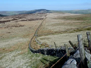
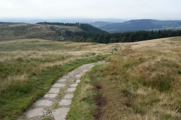 Descent towards Macclesfield Forestby Bill Boaden, Wikimedia Commons (Geograph)Original photoCC BY-SA 2.0 licence
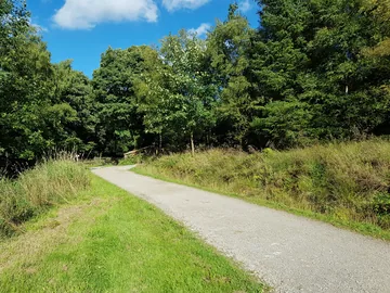 The view from a bench near Shutlingsloeby sjorford, Wikimedia CommonsOriginal photoCC BY-SA 4.0 licence
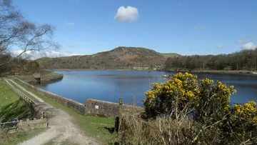 Ridgegate Reservoir & view towards Tegg's Nose, Macclesfield Forestby Colin Park, Wikimedia Commons (Geograph)Original photoCC BY-SA 2.0 licence
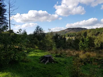 The view from a bench near Shutlingsloeby sjorford, Wikimedia CommonsOriginal photoCC BY-SA 4.0 licence
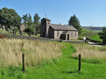 St Stephen's Church, Forest Chapelby Neil Theasby, Wikimedia Commons (Geograph)Original photoCC BY-SA 2.0 licence
Hints & Tips
The Last Few Steps
The climb is steady, on forest tracks and a flagged path across the moor, but the last section to the summit is a short, steep flight of stone steps. The top is a small, rocky tor, so take care there in wind or wet weather.
Heron Time
The herons at Trentabank nest from about February to June, and in May you may see chicks in the nests high in the trees. A short, easy woodland trail to the reservoir viewpoint starts directly opposite the car park.
Short on Time?
For a quicker walk, go straight up to the summit and come back down the same flagged path and forest track to Trentabank. It's about 3 miles there and back.
Felling in the Forest
Diseased larch trees are being felled in parts of Macclesfield Forest, and the cleared areas are being replanted with native broadleaved trees. If you meet forestry work, follow any signs on site.
Interesting Facts
General
Scyttel's Hill
The name comes from the Old English Scyttel's hlaw, meaning the hill of a man called Scyttel
Top of the Boundary Walk
The summit is the highest point on the whole of the Peak District Boundary Walk, the long-distance path that runs right round the edge of the National Park
The Biggest Heronry
The heronry at Trentabank Reservoir, with around 20 pairs of breeding herons, is thought to be the largest in the Peak District
A Story Book Hill
In Alan Garner's children's novel The Weirdstone of Brisingamen, the chase at the end of the story reaches its climax on 'Shuttlingslow'
Rushes on the Chapel Floor
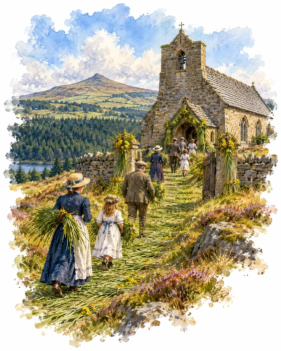
Forest Chapel, officially the Church of St Stephen, stands on its own on the hillside at the eastern edge of Macclesfield Forest. The first chapel here was built in 1673. When the Bishop of Chester, Francis Gastrell, looked into it in about 1720, he found it had never been consecrated, and it was almost completely rebuilt in the 1830s. It's built of sandstone with a stone-slate roof and a tower with a saddleback roof and a single bell, and the inside is very plain.
Every August the chapel holds a rushbearing. Before churches had paved floors, rushes were strewn over the bare earth to keep it clean and sweet smelling, and replacing them became a special occasion in the parish year. Most churches gave the custom up in the 1600s, but at Forest Chapel it has carried on, and written records of the ceremony go back to the 18th century.
The service is held on the first Sunday after 12 August, a date said to be linked to the start of the shooting season on the Glorious Twelfth, when Lord Derby came to nearby Crag Hall. Rushes are laid along the path and down the nave, and sheaves of rushes and flowers decorate the gate and porch. Part of the service, including the sermon, still takes place outside in the churchyard, a habit said to have started when the chapel was too small for everyone. In the late 1940s more than 800 people came.
The Earl's Hunting Forest
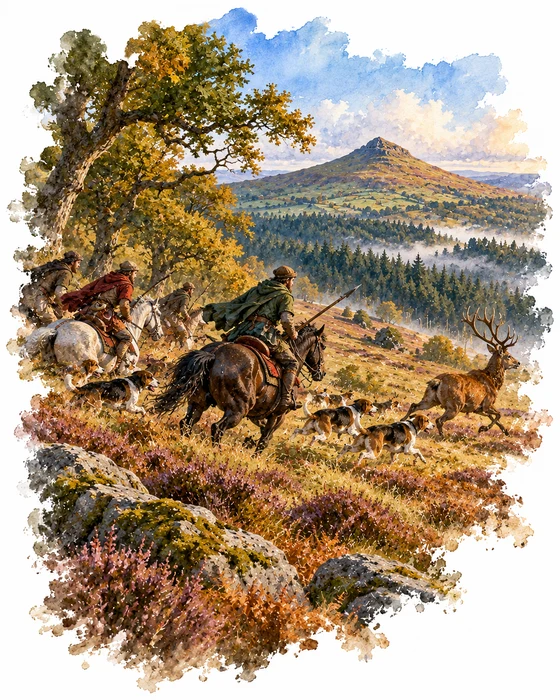
Most of the trees you walk through today are conifers planted between about 1930 and 1950 to protect the water in the reservoirs. But the name is far older. Macclesfield Forest is the last large remnant of the Royal Forest of Macclesfield, a hunting ground of the Earls of Chester. It was already under forest law by 1160, and at its largest it covered about 80 square miles, from the River Goyt in the north and west to the River Dane in the south.
Forest law protected the deer, and clearing the land for farming was, in theory, against the law, although in practice people were often fined and allowed to keep what they had cleared. In 1237 the earldom passed to the Crown, and from 1354 to 1376 the stewards of the Black Prince used parts of the forest to run a cattle business with more than 700 animals, including a pasture at Midgley in Wildboarclough.
Little by little the forest gave way to farms, and by the 17th century it had all but disappeared. Traces are still there if you know where to look: the remains of a medieval deer pound survive on Toot Hill, and an old tradition says that poachers caught in the forest were hanged at a gallows nearby, which may explain the name of the Hanging Gate pub. Red deer still live in the forest today and are sometimes seen drinking at Trentabank Reservoir early in the morning.
More Hikes
 ModerateThe Crashed Plane3.7 mi · 2–3 hrs · 145m
 ModerateDerwent Edge7.5 mi · 3–4 hrs · 367m
 HardKinder Scout9.4 mi · 4–6 hrs · 635m
 ModerateDovedale & Thorpe Cloud6.8 mi · 3½–4½ hrs · 476m
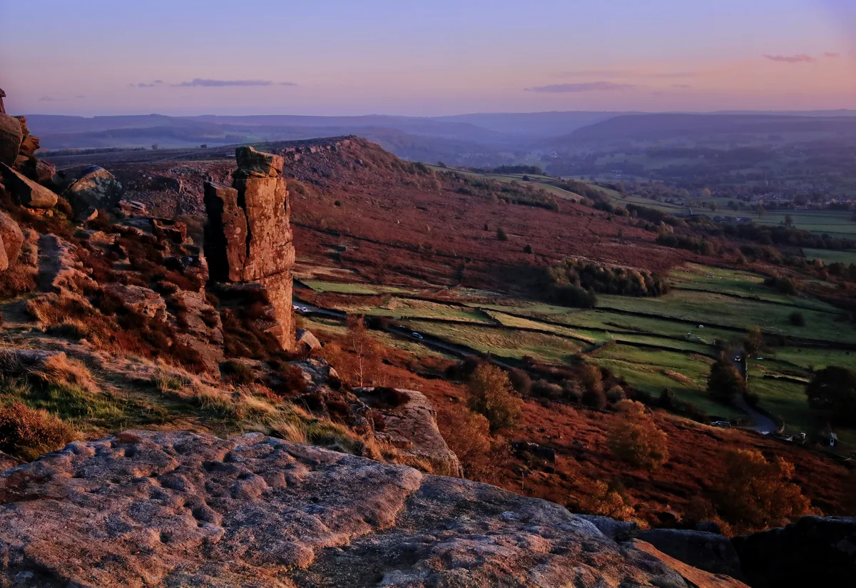 EasyCurbar & Froggatt Edges5.8 mi · 2½–3½ hrs · 252m
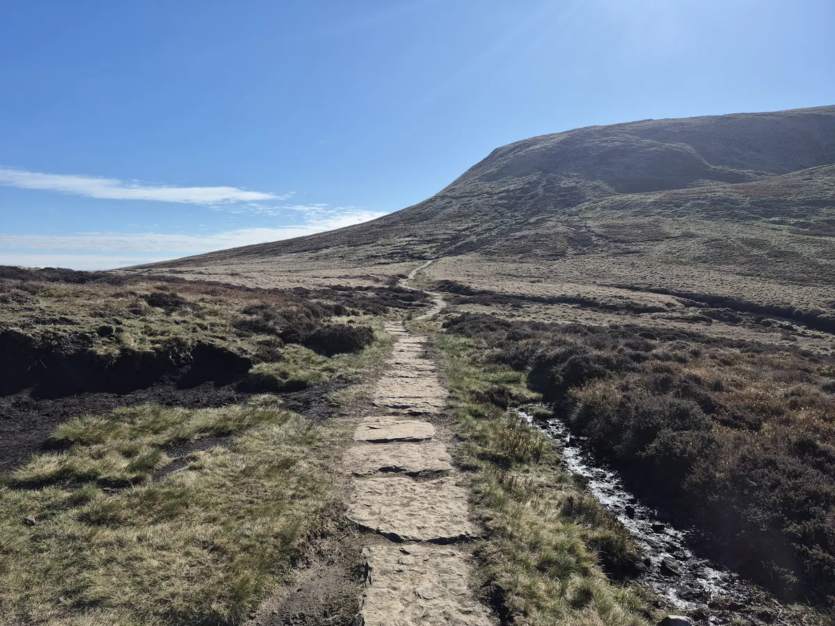 ModerateKinder Downfall7.3 mi · 4–5 hrs · 564m
Subscribe for updates on new hikes and National Parks
One email a month with new hikes and routes. No spam.