



Contents
Overview
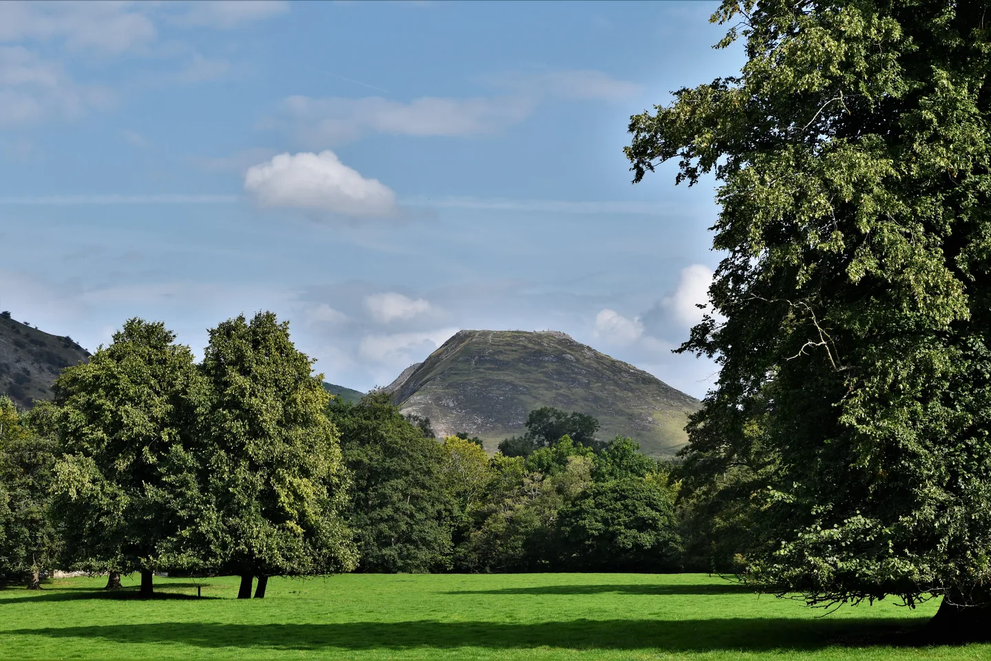
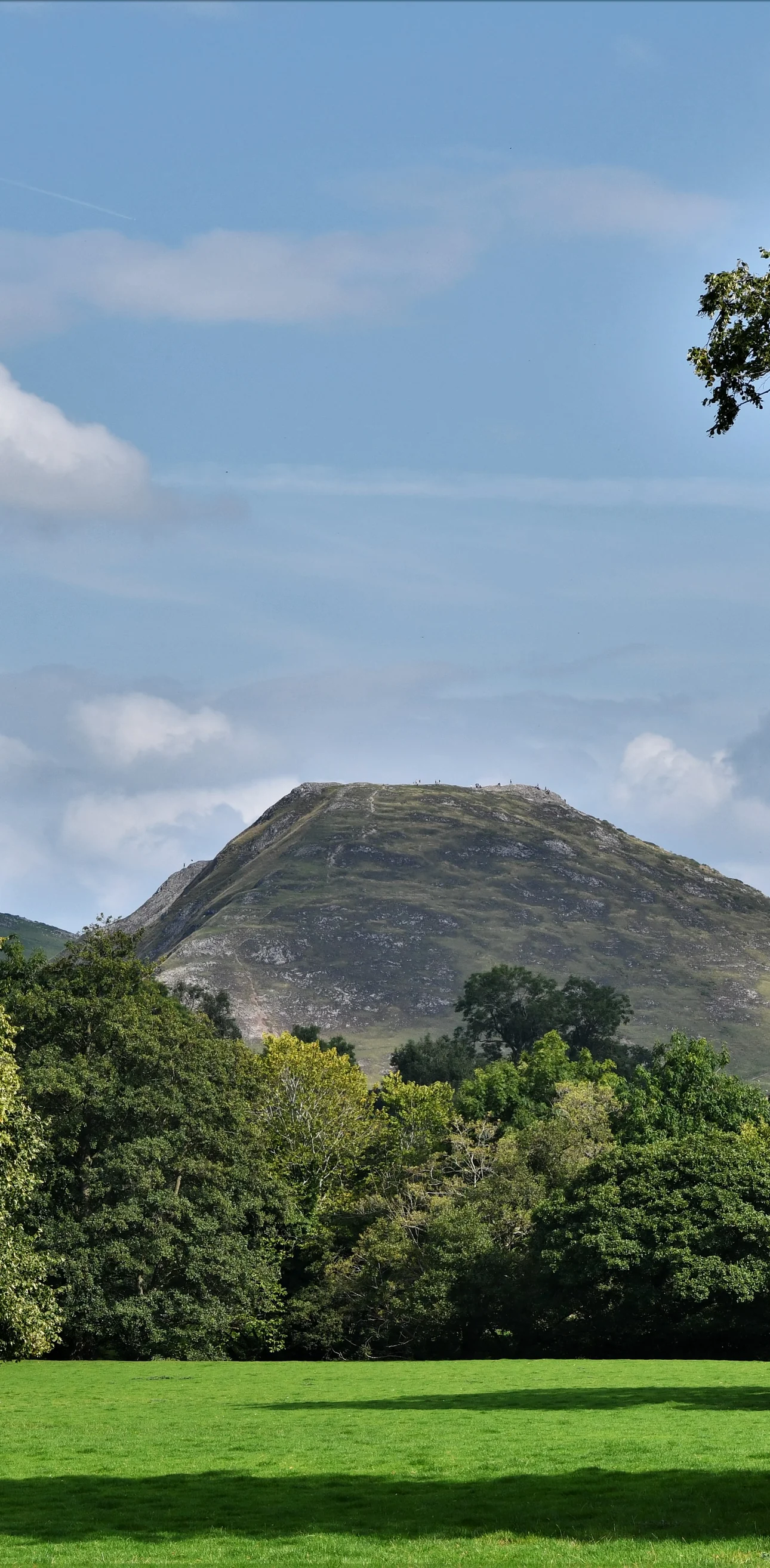
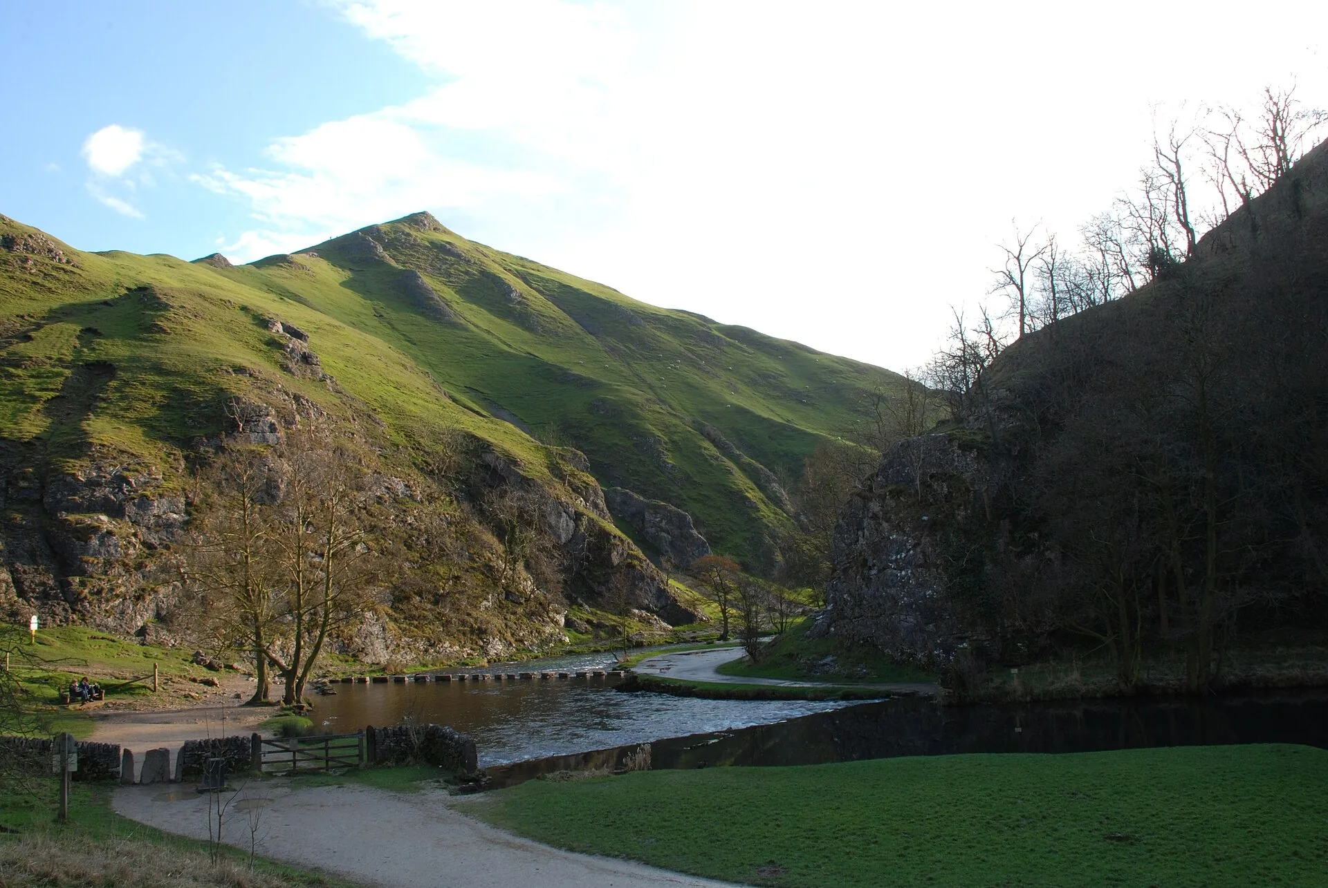
Lord Byron, writing about Dovedale to the poet Thomas Moore, said there were things in Derbyshire as noble as Greece or Switzerland, and about a million people a year now come to see it for themselves. The River Dove runs through a narrow gorge here, lined with woods, crags, pinnacles and caves, all cut from limestone that began as the remains of sea creatures in a shallow sea around 350 million years ago. Standing guard at the mouth of the dale is Thorpe Cloud, a steep, isolated reef knoll, with the stepping stones across the river at its foot.
This loop starts at the National Trust car park at the bottom of the dale. You cross the Dove by the footbridge and climb straight up Thorpe Cloud, then drop steeply down its north side to the riverside path by the stepping stones. The main path follows the Derbyshire bank north, up the steps at Lover's Leap, past the Tissington Spires and Ilam Rock to the Dove Holes caves and on to Milldale, where you cross the old packhorse bridge known as Viator's Bridge. From Milldale you climb out of the dale onto farmland near Stanshope, then come down the grassy side valley of Hall Dale to the river. A footbridge by Ilam Rock takes you back to the main path, and you retrace your steps down the dale to the stepping stones, cross them, and follow the track on the Staffordshire bank back to the car park. This walk takes in one of the Peak District's Ethels: Thorpe Cloud. Find all 95 on our Ethels map.
Go prepared, stay safe,
and enjoy the hike!
Key Info
Crowds
Very High
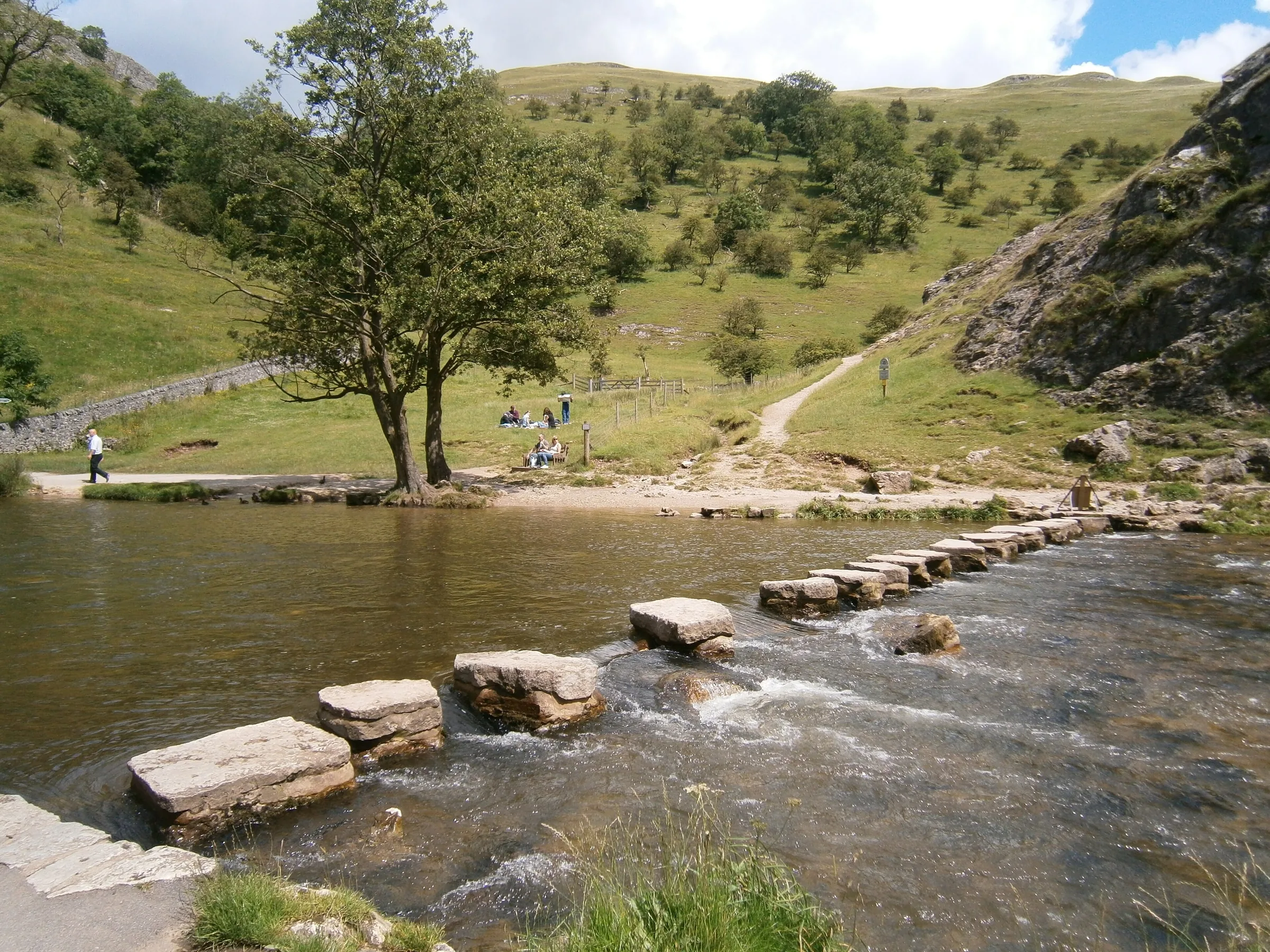
Dovedale is one of the busiest spots in the Peak District and draws around a million visitors a year. The crowds gather around the stepping stones near the car park, where people often have to wait to cross. Early mornings on weekdays and the evenings are much calmer.
When it gets busy
- Weekends, bank holidays and the summer holidays
- Sunny summer days in general
- Weekend lunchtimes, which can get quite hectic
- The stepping stones, where there is only room for one person at a time
- The car park, which can fill on weekends and bank holidays; car parks in the area can fill by 9AM at peak times
For a quieter walk
- Arrive as early as possible on a weekday for the calmest walk
- Go later in the afternoon or in the evening, when the day visitors have gone
- Avoid weekends and the school holidays if you can
- Use the footbridge near the car park to skip the stepping stones queue, and cross them on the way back when it's quieter
- If the car park is full, Ilam Park nearby may have space
Our crowd rating is for a typical sunny weekend in spring or summer, in the middle of the day. Timing makes a big difference, so even a busy walk can be quiet early, late or midweek.
The Route
Disclaimer: Route information and GPX files are provided for general guidance only. Conditions can change, so always use your own judgement and navigate responsibly. See our Terms of Use & Disclaimer for more information.
Route Guide
- 1
Over Thorpe Cloud0.7 mi · 130m up · 115m downWalk a short way from the car park to the footbridge and cross the River Dove. Climb east up the steep grassy slope of Thorpe Cloud to its summit, about 140m above the river. Leave the top heading north and drop very steeply down the far side to the riverside path, right beside the stepping stones.
- 2
Up the dale1.3 mi · 50m up · 25m downTurn upstream on the main path along the Derbyshire bank. It climbs a flight of stone steps over Lover's Leap, then runs below the Tissington Spires, with the Twelve Apostles across the water. Carry on to the footbridge opposite the tall pillar of Ilam Rock, but don't cross yet: you'll come back over it later.
- 3
On to Milldale1.2 mi · 50m up · 45m downKeep following the river north past the Dove Holes caves as the dale opens out. At Milldale, cross Viator's Bridge, the narrow old packhorse bridge, into the hamlet.
- 4
Climb out to Stanshope0.6 mi · 105m upHead up the lane from Milldale, then take the steep path that climbs west up the side of the dale. It gains about 100m to reach a track on the farmland near Stanshope, the highest ground since Thorpe Cloud.
- 5
Down Hall Dale1.2 mi · 20m up · 125m downGo south-west across the fields, then turn east into the head of Hall Dale and walk down this quiet, grassy side valley to the River Dove, then follow the river a short way downstream to the footbridge by Ilam Rock and cross back to the main path.
- 6
Back down the dale1.4 mi · 30m up · 50m downTurn downstream and retrace your outward route past the Tissington Spires and down the steps at Lover's Leap. Just past the foot of the path from Thorpe Cloud, cross the river on the stepping stones.
- 7
Track to the car park0.4 mi · 5m up · 15m downFrom the stepping stones, follow the wide track along the Staffordshire bank, with Thorpe Cloud across the river on your left, back to the car park.
Use the route on OS Maps, AllTrails or Komoot to navigate on the day; this guide is for planning.
Parking
Park at the National Trust car park at the foot of the dale, which has around 220 spaces. It's £6 for up to 4 hours or £8 for longer, paid at the machine by card or coins, and number plate recognition is in use. National Trust members park free by scanning their membership card at the machine. The car park is open from dawn to dusk, there's no overnight parking, and minibuses and coaches aren't allowed. Public toilets, run by the Peak District National Park Authority, are by the kiosks. Check the latest prices here.
*Prices correct at time of writing; check before you travel.
Facilities & Hospitality
Run by the Peak District National Park Authority, next to the kiosks in the car park. They cost 50p and are open 8:30AM to 7PM from April to October. The accessible toilet at the back is open 24 hours and needs a Radar key.
A small takeaway on Millway Lane in Milldale, right on the route at about mile 3.2. It sells hot and cold drinks, hot pies, sandwiches and ice cream.
The National Trust tea-room at Ilam Park serves hot and cold drinks, cakes and seasonal lunches, and there are toilets on site. It's about 1.5 miles' walk from the stepping stones, and it was open 10AM to 4PM when we checked in late October.
Weather
Hike Videos
Note: Videos are made by other walkers, not The Lost Peak. They may not follow this exact route, and paths, conditions and facilities may have changed since filming.
Photo Gallery
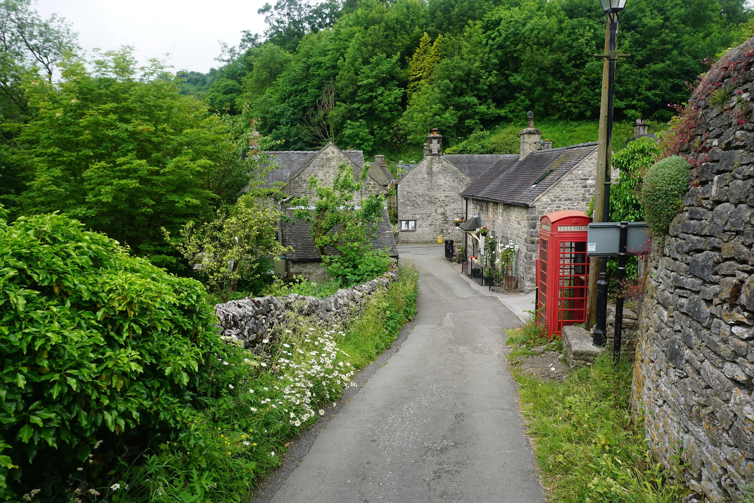
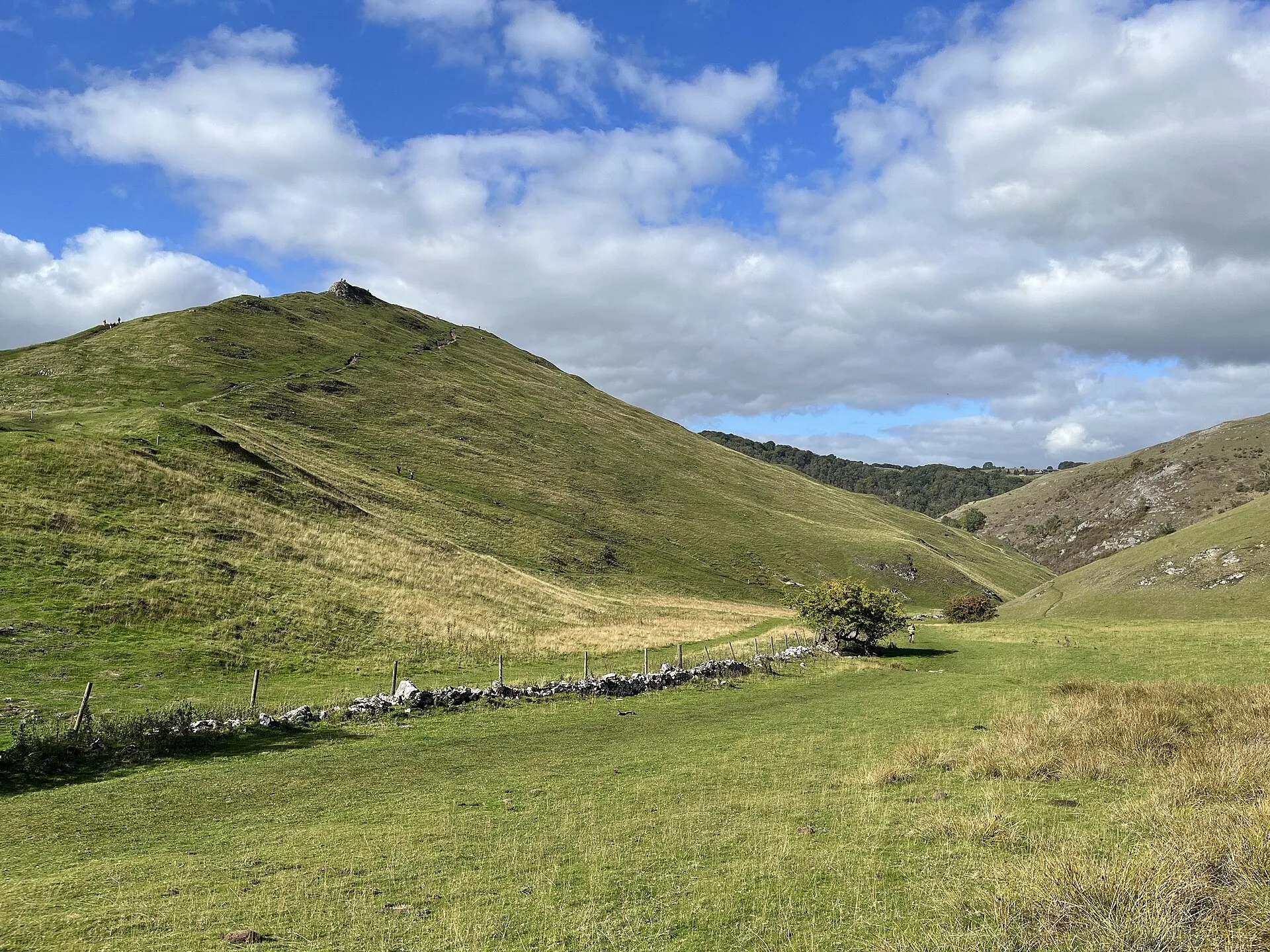
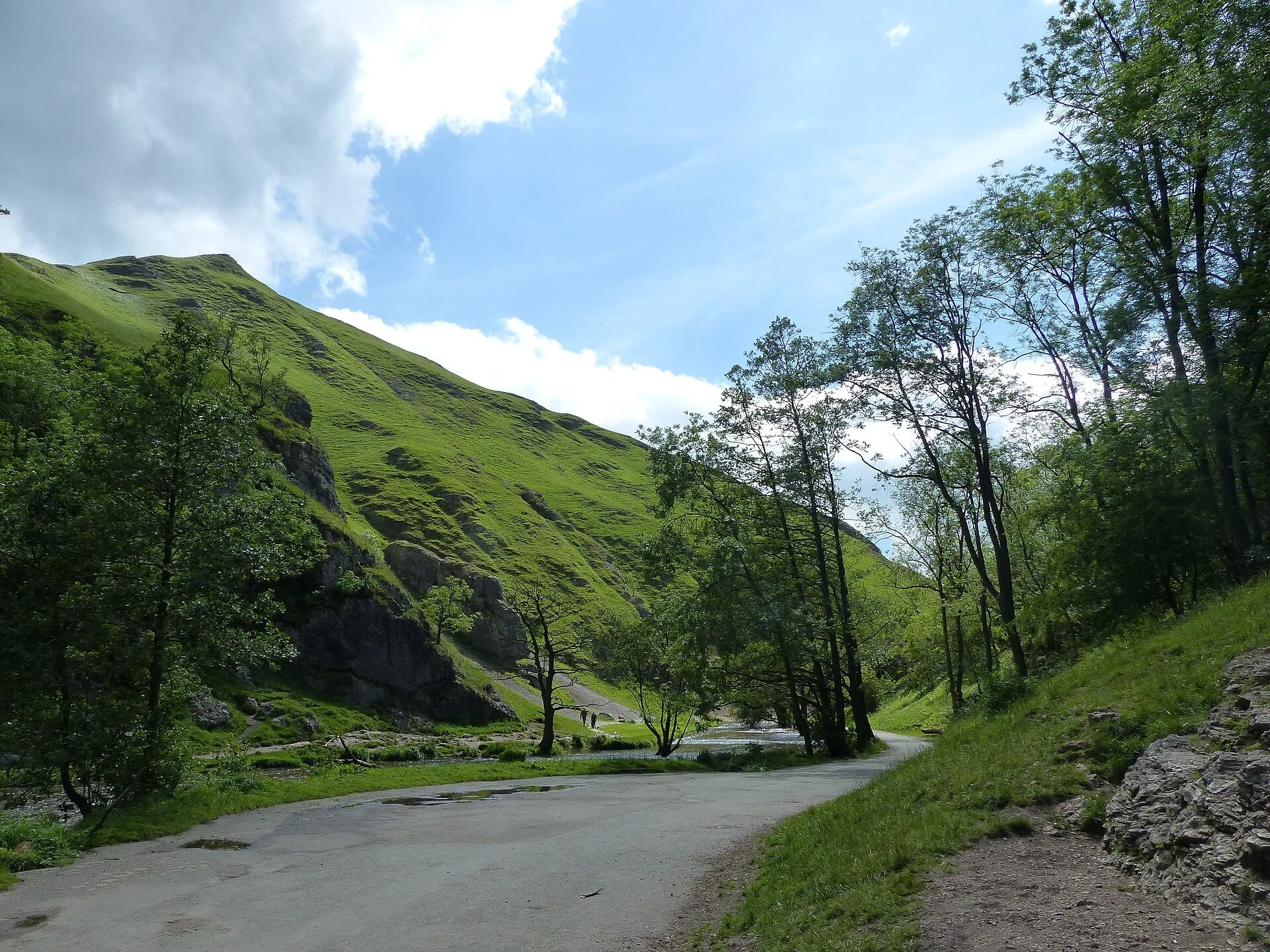
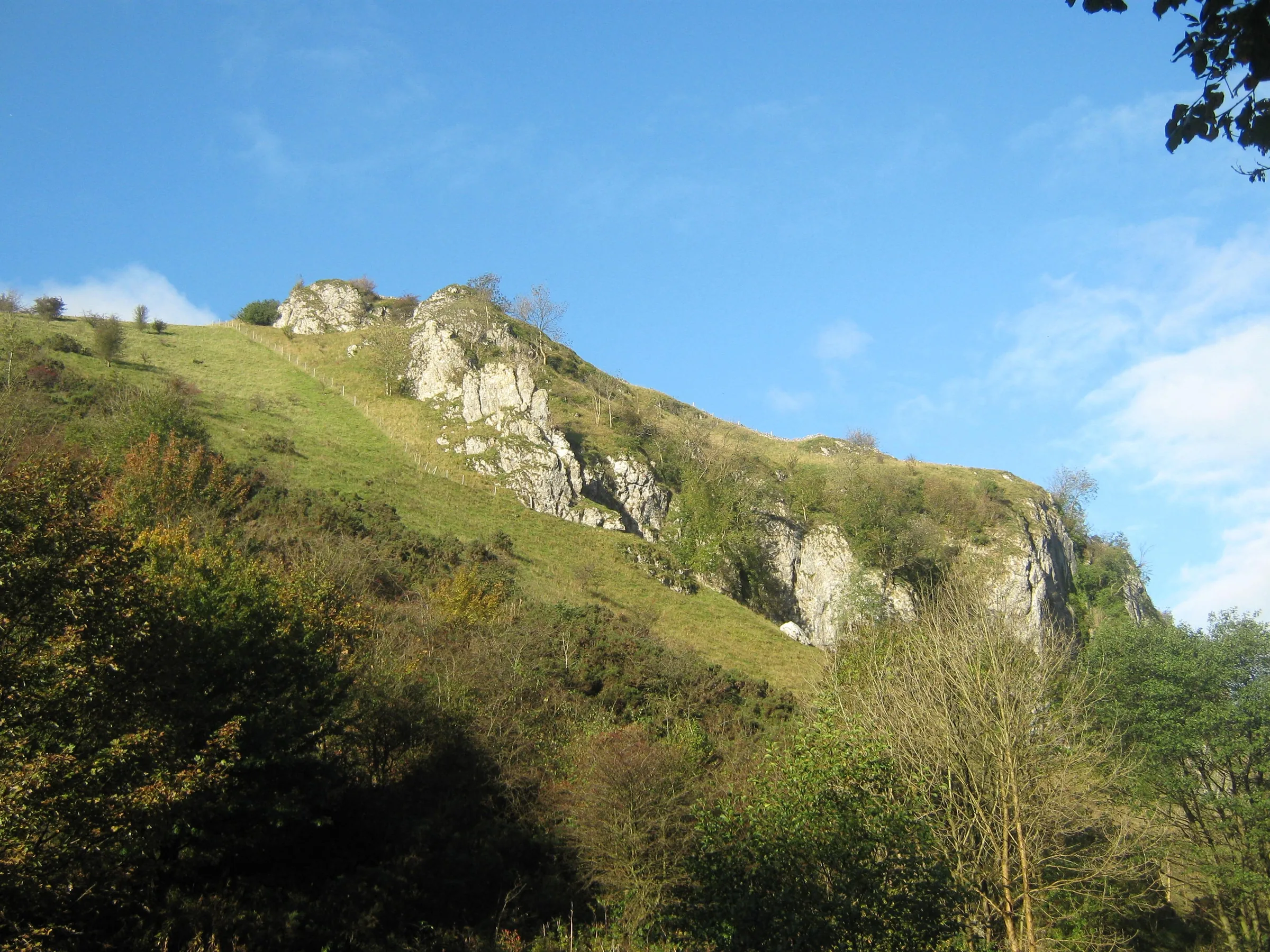
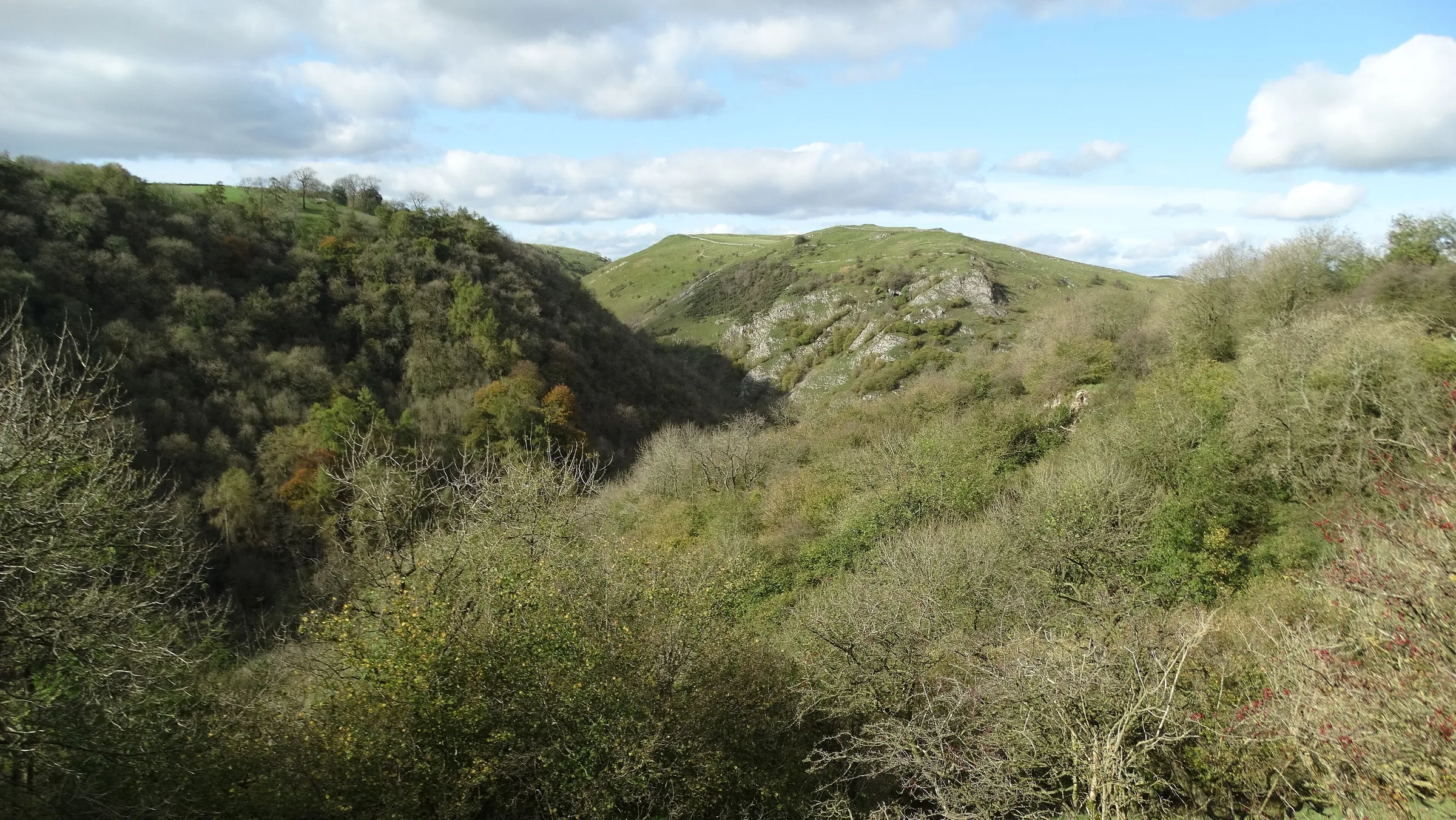
Photos
Photo credits
Photos without a credit are our own. These are used under Creative Commons licences; thank you to the photographers.
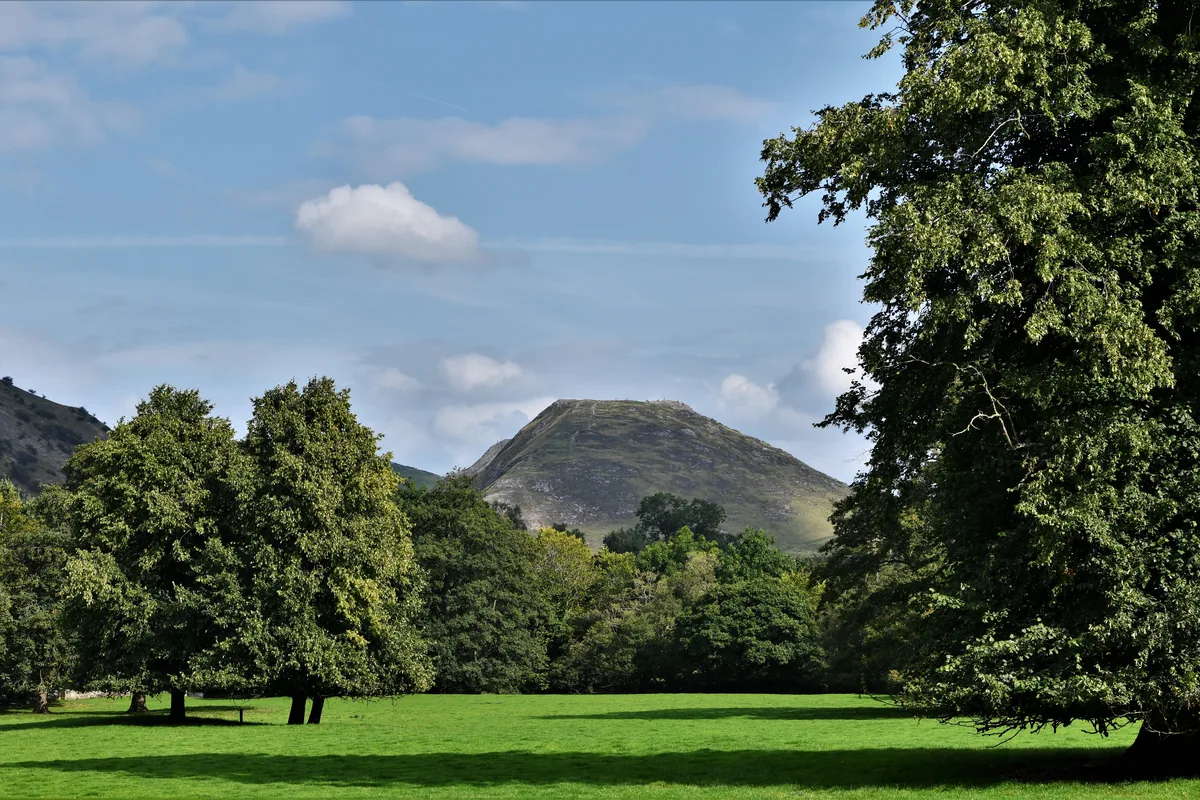 Thorpe Cloud from Ilam ParkHero photo · by Michael Garlick, Wikimedia Commons (Geograph)Original photoCC BY-SA 2.0 licence
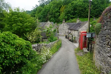
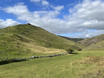 Looking towards Thorpe Cloud from Lin Daleby Ajay Tegala, Wikimedia Commons (Geograph)Original photoCC BY-SA 2.0 licence
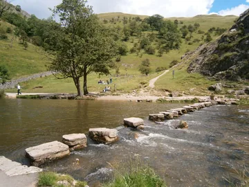
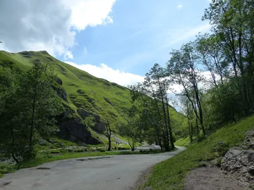 Dovedale and Thorpe Cloudby Chris Gunns, Wikimedia Commons (Geograph)Original photoCC BY-SA 2.0 licence
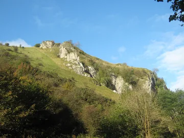
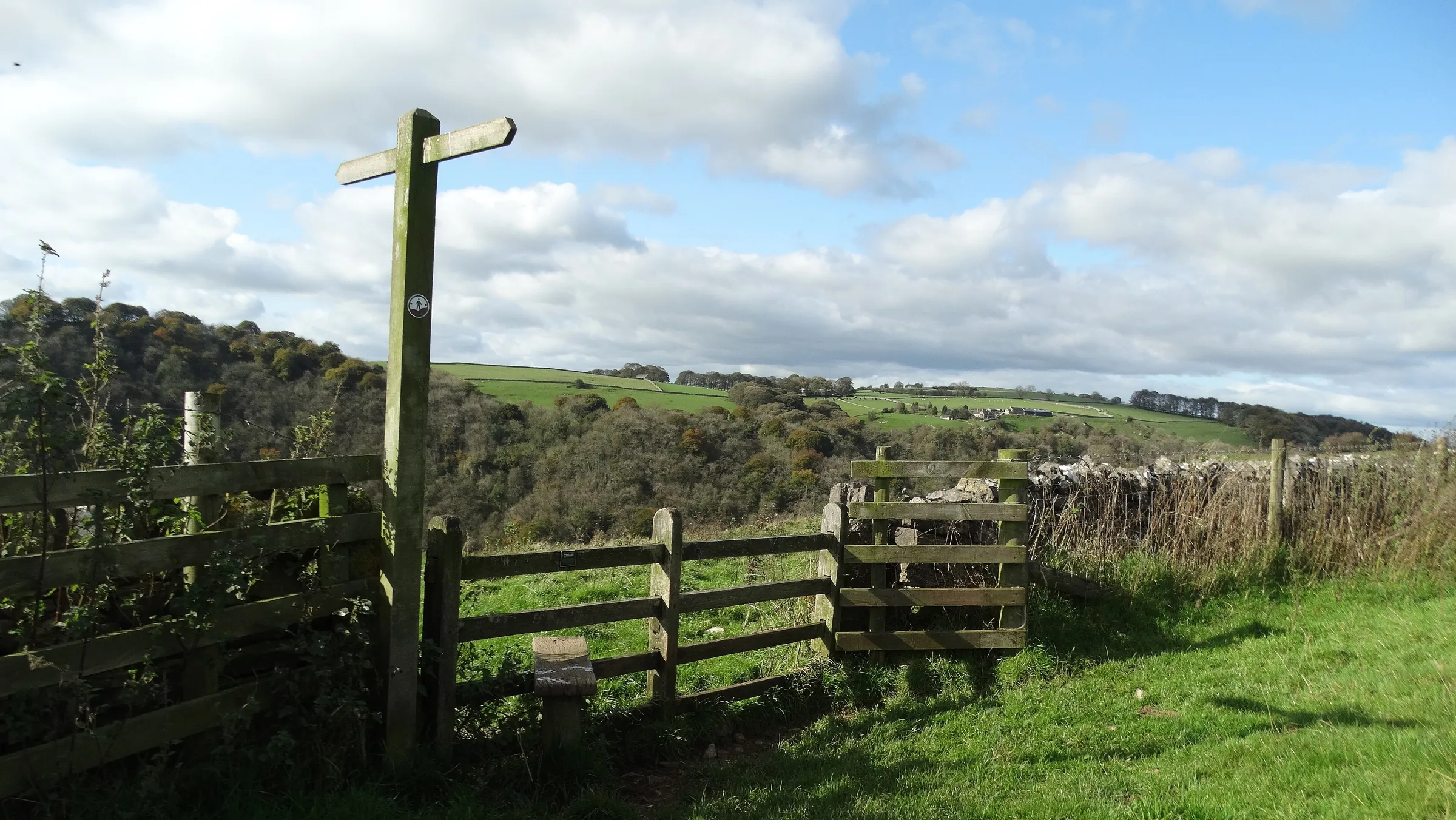
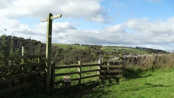 A stile on the path above Lover's Leapby Colin Park, Wikimedia Commons (Geograph)Original photoCC BY-SA 2.0 licence
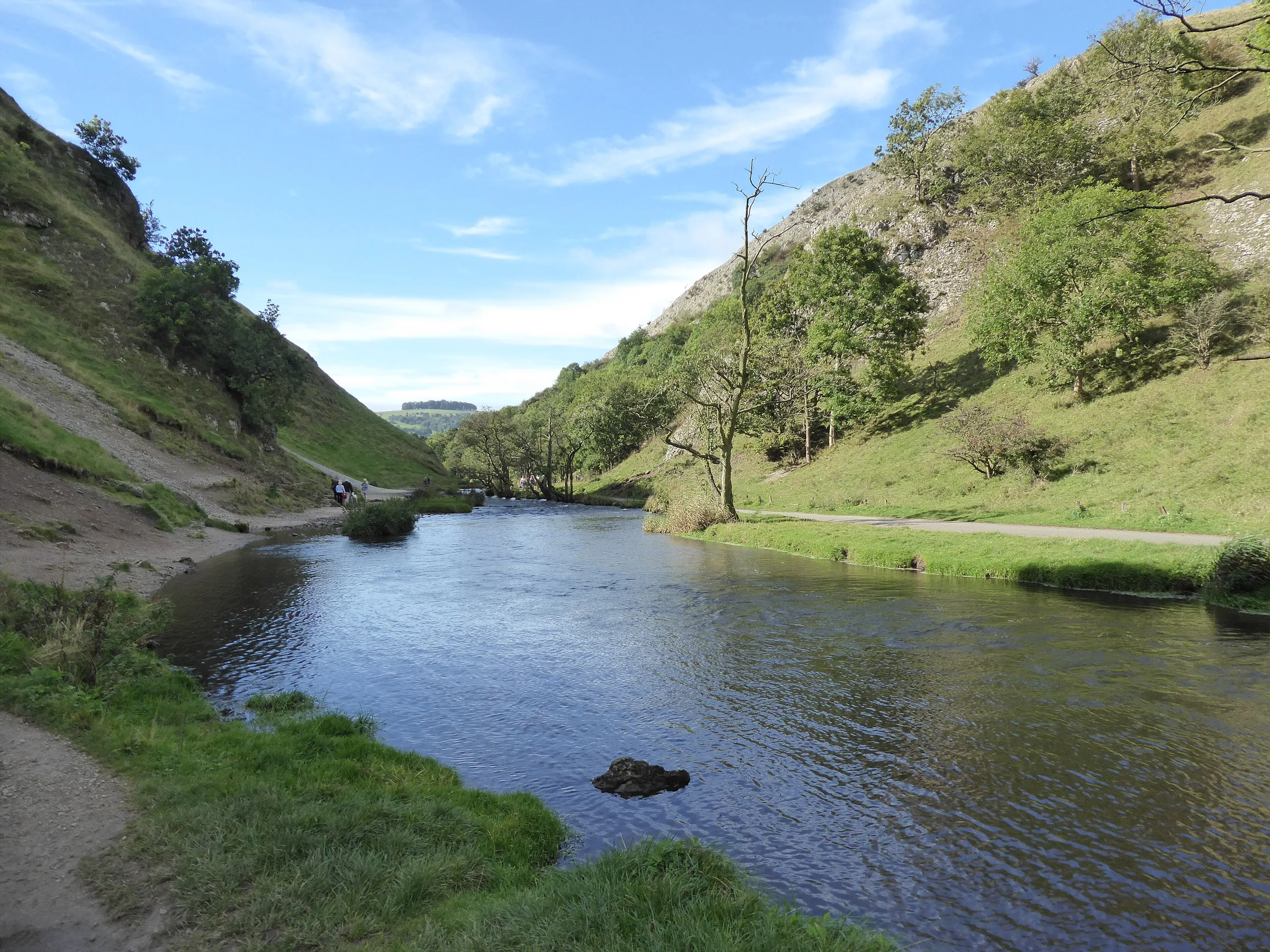
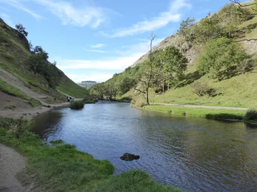 The River Dove in Dove Daleby Robert Powell, Wikimedia Commons (Panoramio)Original photoCC BY-SA 3.0 licence
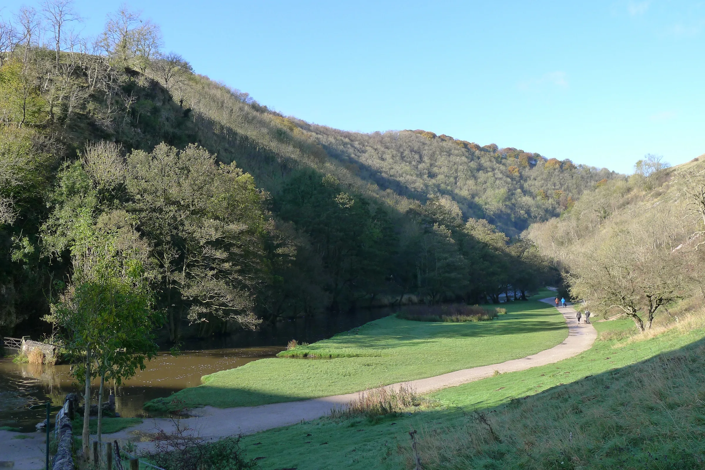
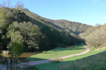 The entrance to Dove Daleby Tim Heaton, Wikimedia Commons (Geograph)Original photoCC BY-SA 2.0 licence
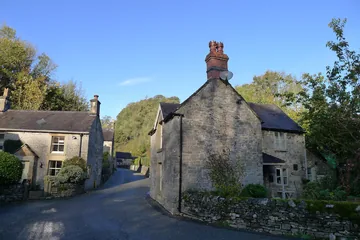
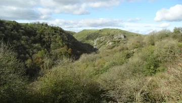 Dove Dale and Hall Dale from the eastern rimby Colin Park, Wikimedia Commons (Geograph)Original photoCC BY-SA 2.0 licence
Hints & Tips
Steep Both Ways
Thorpe Cloud is short but very steep. The climb from the footbridge gains about 140m in a third of a mile, and the way down its north side drops around 130m in about a third of a mile to the river. Take the descent slowly, and use the grass beside the worn path where you can.
Skip the Hill
If you'd rather not climb Thorpe Cloud, start along the track on the Staffordshire bank from the car park, the way this walk finishes. Cross the stepping stones and you join the main dale path, which cuts out the steepest climb and descent of the day.
Quieter Halfway Round
The stepping stones and the lower dale are the busiest part of this walk. Once you climb out of Milldale, the fields near Stanshope and the walk down Hall Dale see far fewer people.
Halfway Snack Stop
Polly's Cottage on Millway Lane in Milldale, right on the route, sells hot and cold drinks, pies, sandwiches and ice cream to take away. It's a good place to stop before the climb out of the dale.
Interesting Facts
General
A Hill Called Hill
Old English clud, meaning simply "hill", gave Thorpe Cloud the second half of its name
Saved by Her Skirts
Legend says a young woman who thought her sweetheart had died in the Napoleonic Wars jumped from Lover's Leap, but her skirts caught in a tree, and she got home to find he was still alive
Built by Prisoners of War
The stone steps at Lover's Leap, on the way up the dale, were built by Italian prisoners of war during the Second World War
Woods Worth Protecting
Dovedale became a National Nature Reserve in 2006, and its ash woods on limestone are counted among the best in England
Coins in a Cave
High on the dale side above the main path stands Reynard's Arch, a natural rock bridge about 6m high that was once part of a cave. Behind it is Reynard's Kitchen Cave, about 14m long and 5m wide at its mouth, narrowing to less than a metre at the back. People have used it on and off for some 10,000 years. A dig in 1959 found things from the Neolithic to the medieval period, some of which are now in Buxton Museum, and the cave walls carry carved 17th-century witch marks, meant to ward off evil spirits.
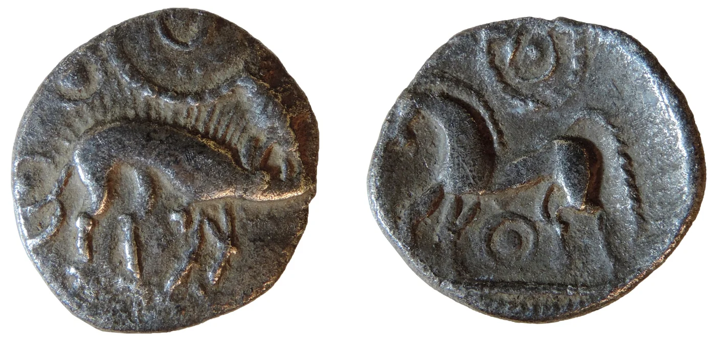
The 1959 dig missed the cave's real treasure. Decades later, a local climber sheltering from heavy rain had a small pin-pointer metal detector in his bag. He ran it over the ground beside him and found four coins. He reported them to Derbyshire's finds officer, who told the National Trust, and archaeologists from the Trust and University of Leicester Archaeological Services came to dig the cave with volunteers from Operation Nightingale. They worked by torchlight, breaking through a hard crust of calcite to reach the old cave floor. The find was announced in July 2014.
In all they recovered 26 coins. Twenty were Late Iron Age gold and silver coins of the Corieltavi, a farming tribe whose lands lay further east, between the Trent and the Nene, with centres at Leicester, Lincoln and Sleaford. Three were Roman coins struck before the Roman invasion of Britain in AD 43. It was thought to be the first time coins of these two origins had been found buried together in a cave in Britain. The dig also turned up a decorated Roman brooch from around the middle of the 1st century AD.
Nobody knows why the coins were left here. Rachael Hall, the National Trust archaeologist on the dig, said they suggested a serious amount of wealth and power, as coins at the time were symbols of status more than everyday money. They may have been hidden for safekeeping, or the cave may have been a sacred place where valuables were protected. The coroner declared the hoard treasure, conservators at the British Museum and University College London cleaned the coins, and they were due to go on permanent display at Buxton Museum.
Stepping Stones for the Victorians
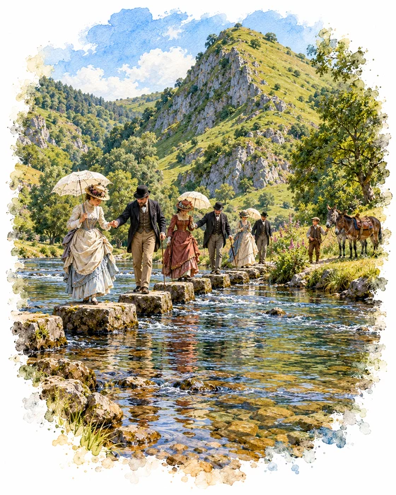
People have come to look at Dovedale for a long time. Gentry made up most of the visitors in the 18th and 19th centuries, and in Victorian times the writing of Wordsworth, Byron and Tennyson and the paintings of J. M. W. Turner, who painted Ilam Rock, brought even more. Samuel Johnson and John Ruskin praised the dale too, and in Pride and Prejudice Elizabeth Bennet talks with Mr Darcy about her travels in Derbyshire, Dove Dale among them.
The stepping stones below Thorpe Cloud were laid around 1890 for the growing crowds of Victorian visitors, and in those days you could hire a donkey to carry you further into the dale. The railway had reached Ashbourne in 1852, and when the Ashbourne to Buxton line opened in 1899, with a station named Thorpe Cloud above the village of Thorpe, walkers of every class could reach the dale for a day out. That line closed in the 1960s and is now the Tissington Trail. On one Sunday in August 1990, a count found 4,421 walkers on the Staffordshire side of the river and 3,597 on the Derbyshire side.
The stones themselves caused a row in 2010. The National Trust and Derbyshire County Council had all but one of them topped with mortar and flat limestone slabs, and many visitors were unhappy, feeling the old stones were part of the charm. The new tops also hid the fossils of crinoids, or sea lilies, that could once be seen in them. Whatever you think of the change, hopping across them is still a highlight of a day in Dovedale.
More Hikes
 ModerateThe Crashed Plane3.7 mi · 2–3 hrs · 145m
 ModerateDerwent Edge7.5 mi · 3–4 hrs · 367m
 HardKinder Scout9.4 mi · 4–6 hrs · 635m
 EasyCurbar & Froggatt Edges5.8 mi · 2½–3½ hrs · 252m
 ModerateShutlingsloe6.4 mi · 3–4 hrs · 429m
 ModerateKinder Downfall7.3 mi · 4–5 hrs · 564m
Subscribe for updates on new hikes and National Parks
One email a month with new hikes and routes. No spam.