



Contents
Overview
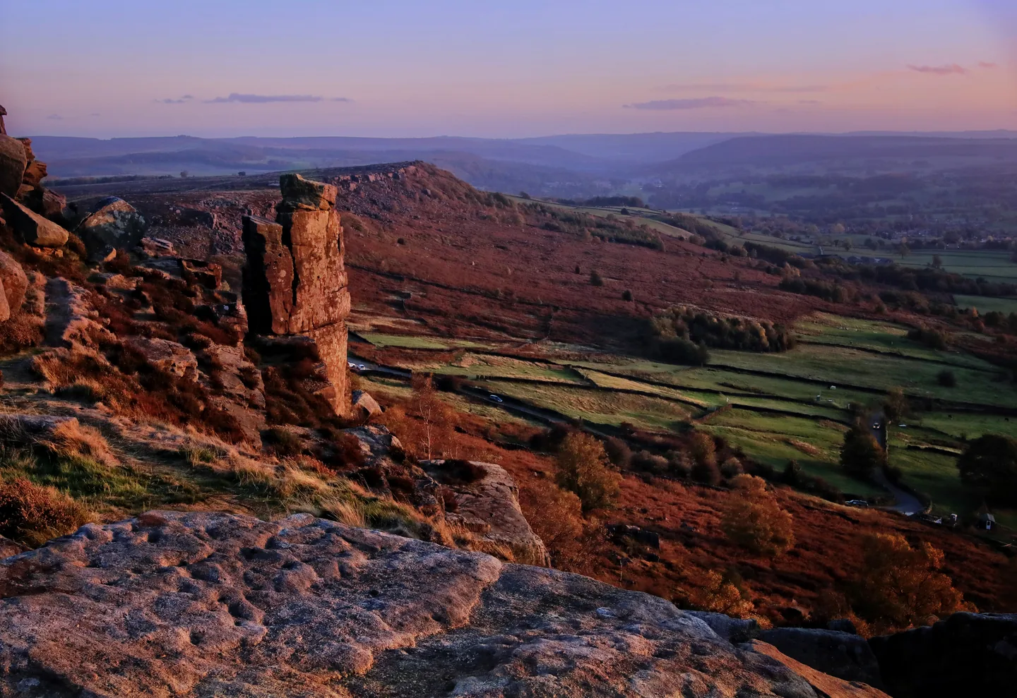
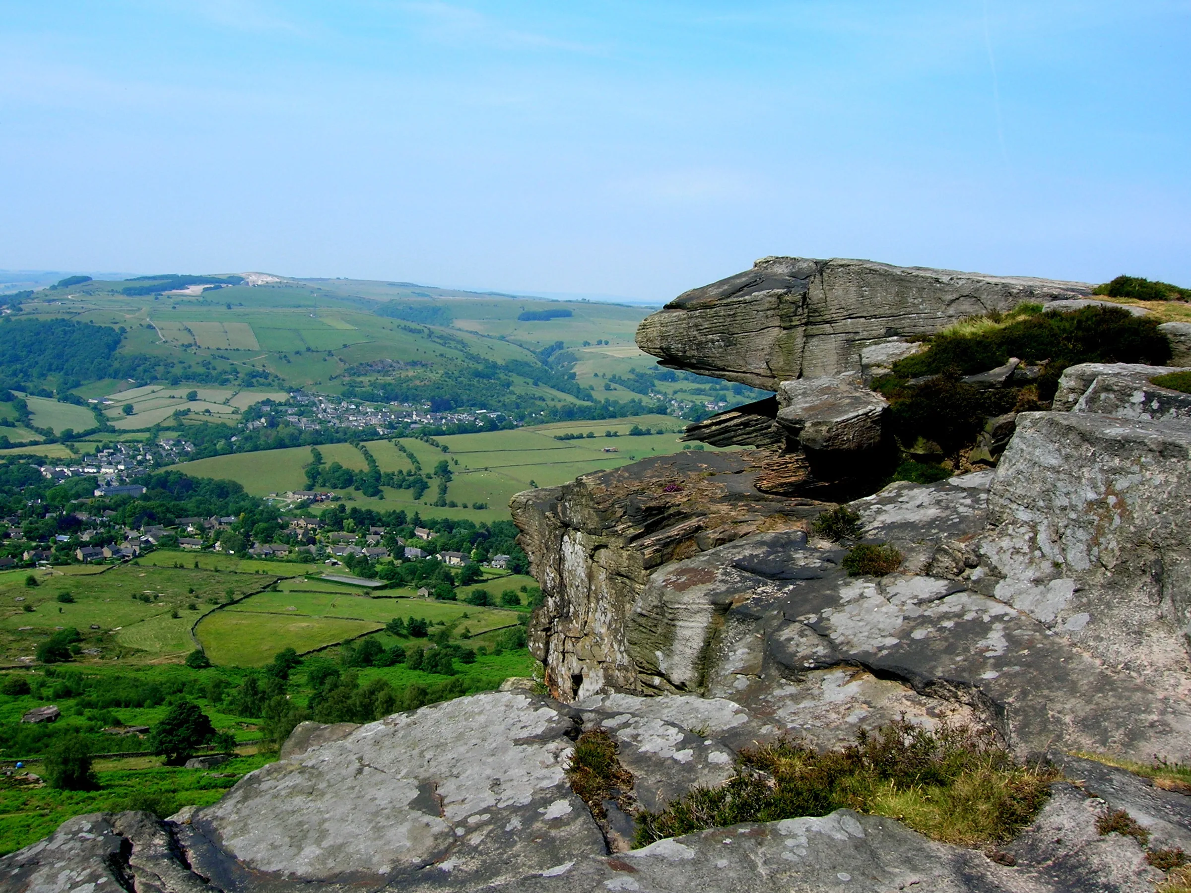
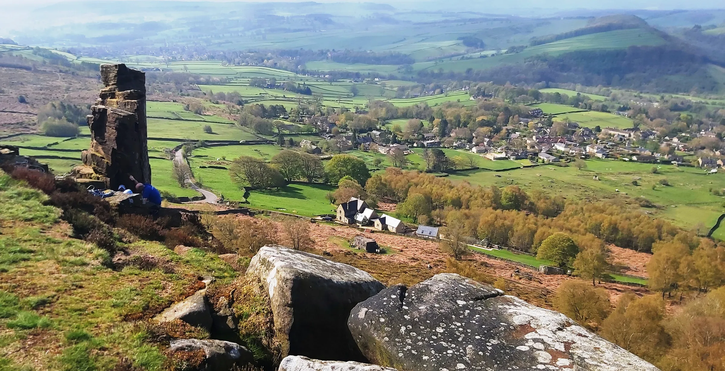
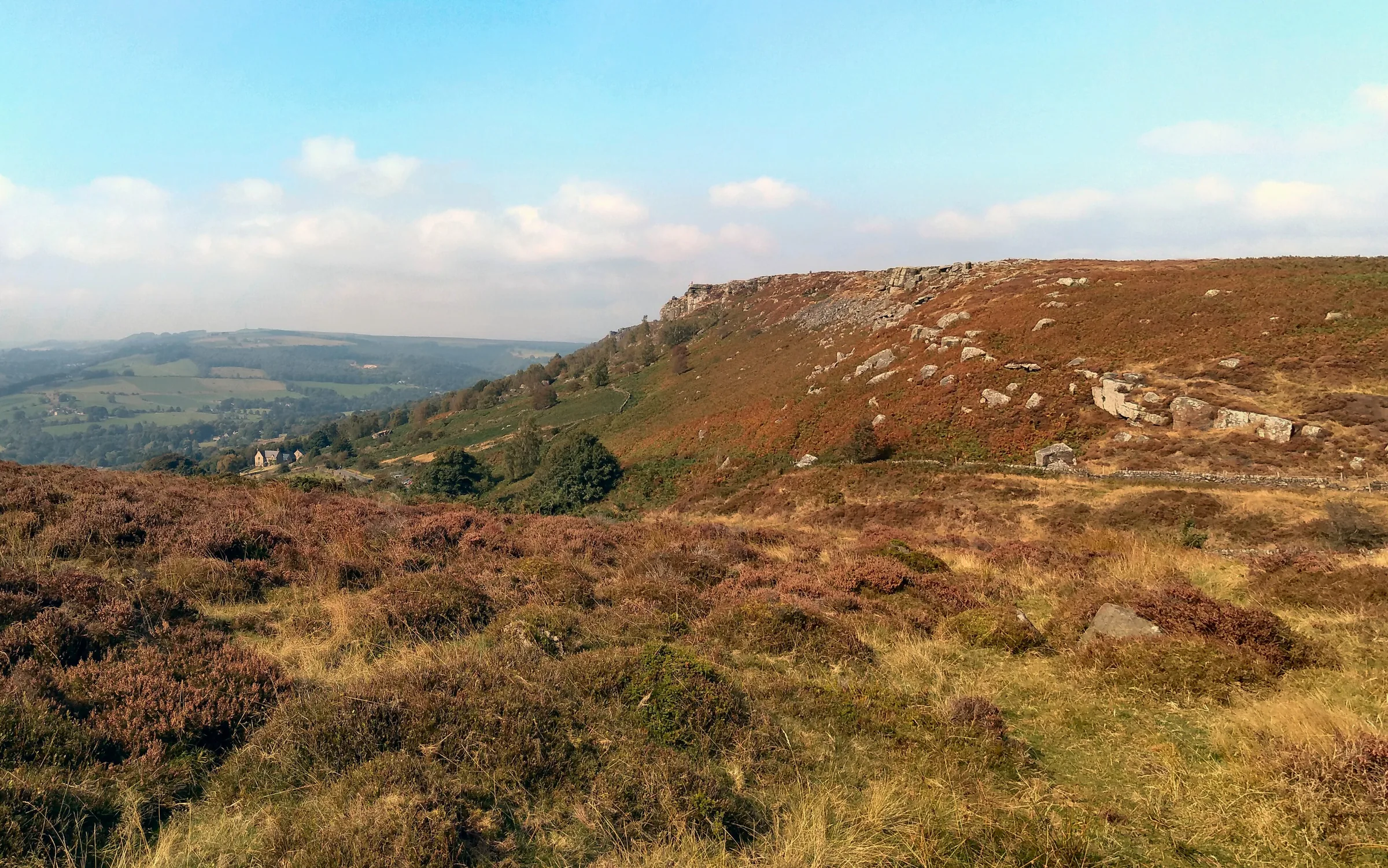
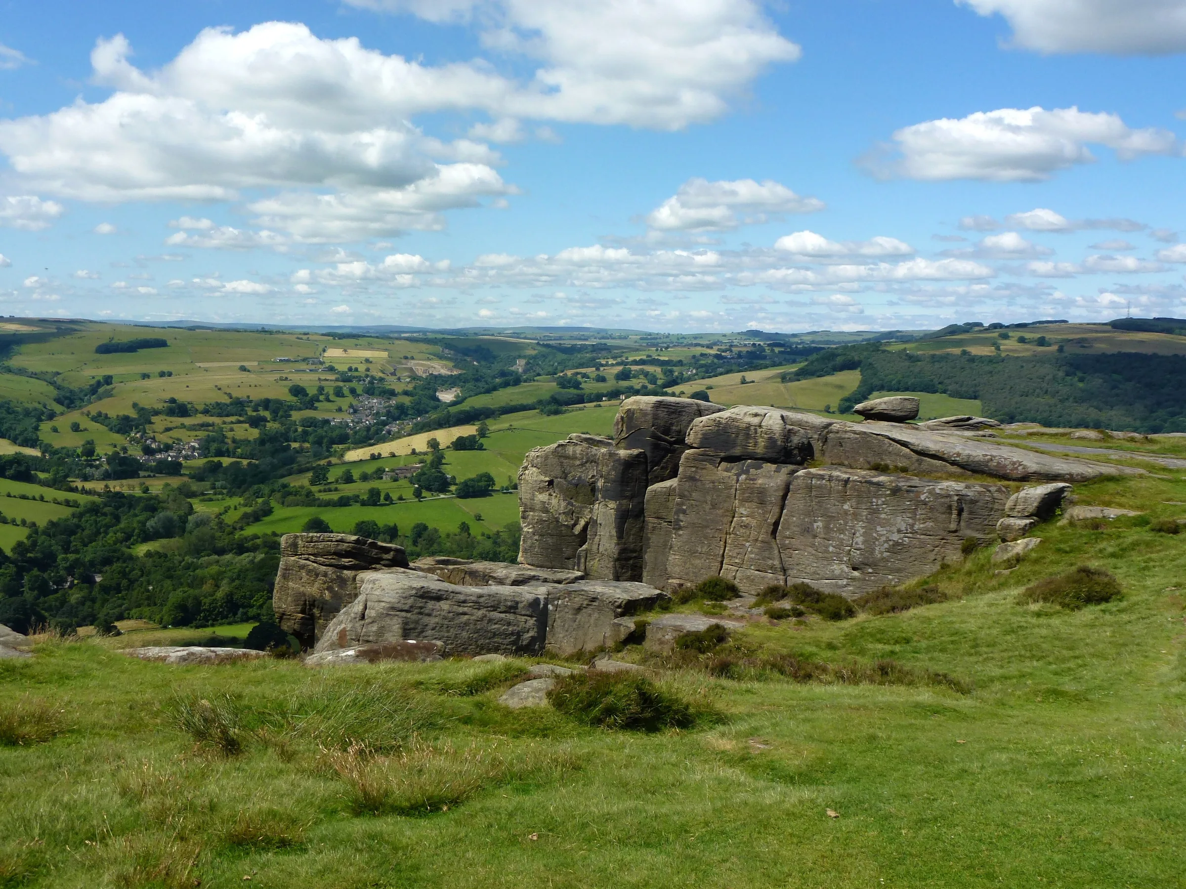
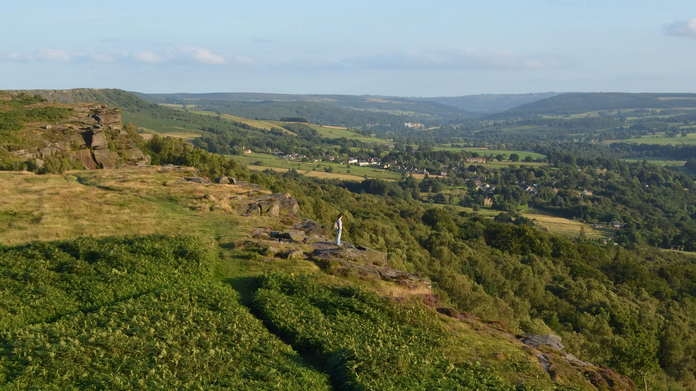
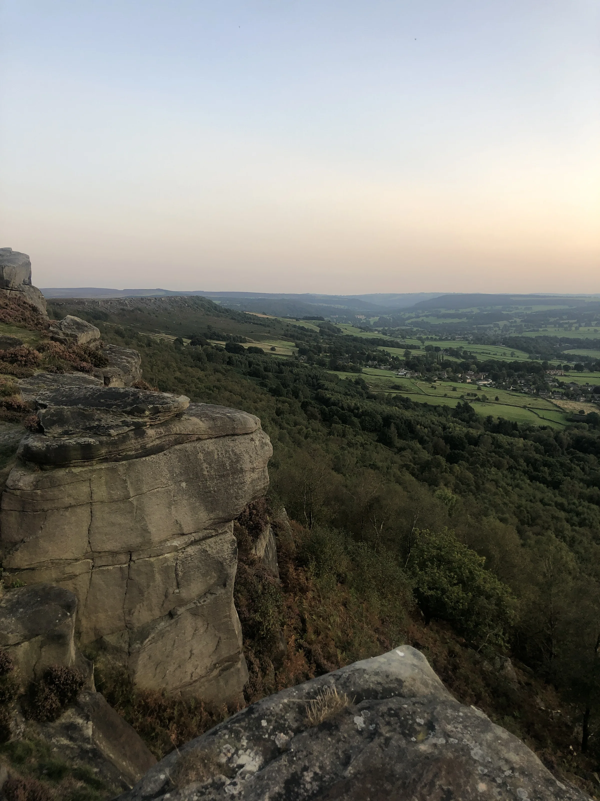
Below the long line of Froggatt and Curbar Edges, birch woods fall away to the River Derwent, and the views stretch across both moor and valley. The two are really one gritstone escarpment, with the names marking different stretches, and on top is a heather moor that turns purple in late summer. A short way to the east, White Edge looks out over Big Moor, home to a herd of wild red deer, and the moors all around hold the remains of Bronze Age fields, cairns and stone circles.
The loop starts at the National Trust's Haywood car park. You cross the main road and follow a wooded track south onto Froggatt Edge, passing a small stone circle, then walk the whole length of Froggatt and Curbar Edges to Curbar Gap. From there you drop to cross Sandyford Brook, climb a steep bank beside a wall onto White Edge and follow it north, with Big Moor on your right, before heading west down through fields past the Grouse Inn and back to Haywood. It's mostly easy walking, with one short steep climb onto White Edge, though the edge paths are narrow and stony in places.
Go prepared, stay safe,
and enjoy the hike!
Key Info
Crowds
High
Curbar Edge is a busy spot, and the Curbar Gap car park fills up very quickly on weekends and sunny days. The viewpoint near that car park is a popular sunset spot. This walk starts from Haywood instead, where spaces are very limited, so timing still matters.
When it gets busy
- Weekends, sunny days and the school holidays
- Mornings from about 9:30AM on busy days, when Curbar Gap car park fills up
- Curbar Edge near the car park, which is a short walk for sunset watchers
For a quieter walk
- Arrive before about 9:30AM or later in the afternoon on busy days
- Go on a weekday if you can
- If Haywood is full, there is also National Trust parking at Wooden Pole, Woodcroft and Curbar Gap
- Haywood is open from dawn to dusk, so if you go late, make sure you are back in time
- Never park on the double yellow lines, where you will get a ticket
Our crowd rating is for a typical sunny weekend in spring or summer, in the middle of the day. Timing makes a big difference, so even a busy walk can be quiet early, late or midweek.
The Route
Disclaimer: Route information and GPX files are provided for general guidance only. Conditions can change, so always use your own judgement and navigate responsibly. See our Terms of Use & Disclaimer for more information.
Route Guide
- 1
Across the Road0.8 mi · 25m up · 25m downFrom Haywood car park, head south over a small brook and carefully cross the main road to the gate opposite. Follow the track through the trees, past another brook, as it rises gently onto Froggatt Edge.
- 2
Along Froggatt Edge0.8 mi · 40m up · 15m downJust after a second gate, look to your left for the remains of a small stone circle. Carry on south along the path at the top of the edge, with the birch woods and the Derwent Valley below you on the right.
- 3
Curbar Edge1.0 mi · 40m up · 35m downThe path rises gently onto Curbar Edge, reaching about 330m, and runs along the top of the crags. At the far end a small gate takes you into Curbar Gap car park.
- 4
Over to White Edge0.8 mi · 50m up · 10m downGo east through the gate onto a track and take the right fork down to the bridge over Sandyford Brook, with walled fields on your left. Then climb the steep bank beside the wall to its top corner, gaining about 45m.
- 5
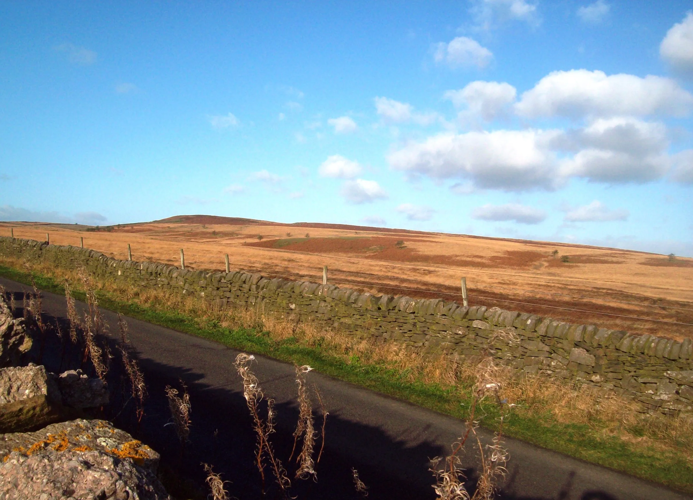
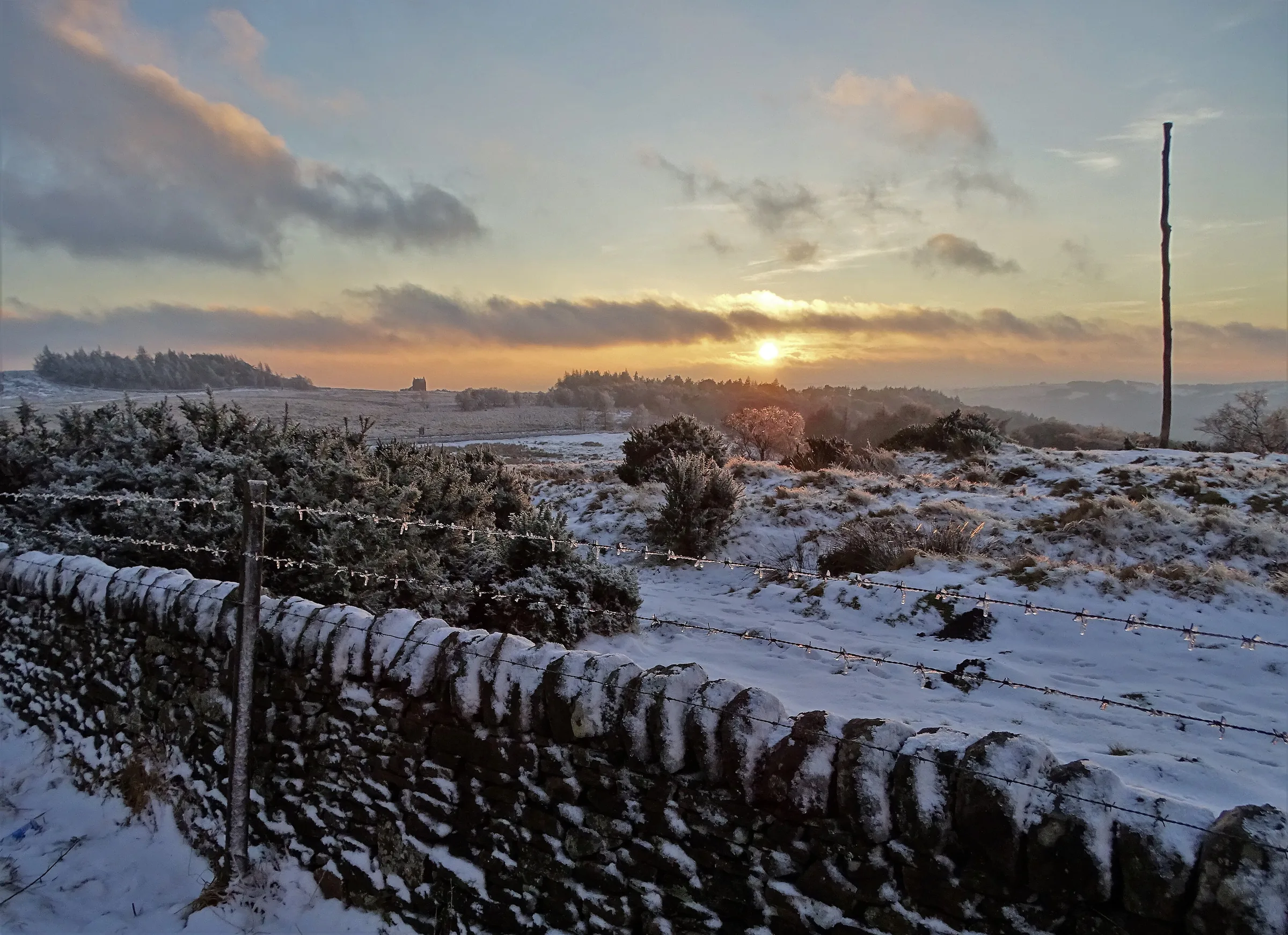
North Along White Edge1.8 mi · 50m up · 30m downAt the wall corner, follow the path north along White Edge, with Big Moor stretching away on your right. It's a long, gentle rise to the highest point of the walk, about 370m, near the north end of the edge. Watch the moor for red deer.
- 6
Down Past the Grouse Inn0.8 mi · 90m downTurn left through the gap in the wall and follow the old dry-stone wall west, downhill through fields, to the Grouse Inn. Cross the fields behind it back to Haywood car park.
Use the route on OS Maps, AllTrails or Komoot to navigate on the day; this guide is for planning.
Parking
The walk starts from the National Trust's Haywood car park on the Longshaw estate, a few hundred metres from the Grouse Inn. Spaces are very limited, and it's open from dawn to dusk. The surface is gravel and compacted earth, with some potholes and speed bumps on the way in. National Trust members park free but must check in on every visit, either with the JustPark app or by scanning their membership card at the machine. Everyone else pays £6 for up to 4 hours or £8 for longer, by bank card or the JustPark app; for this walk the 4-hour ticket should be enough unless you stop at the pub. Blue Badge holders park free. The nearest National Trust toilets are at Longshaw Café. Check the latest prices here.
*Prices correct at time of writing; check before you travel.
Alternative Parking
Facilities & Hospitality
The loop passes this free house at about 5.5 miles, just before you get back to the car. It has been run by the same family for over 50 years, is known for its steak pie, welcomes children and dogs, and doesn't serve food on Monday evenings.
The National Trust café on the Longshaw estate, a short drive north of Haywood, serves hot and cold drinks, ice cream, cakes and seasonal lunches, with outdoor seating looking over the estate. When we checked in October 2026 it was open from 9:30AM to 5PM.
The toilets for this part of the estate, including accessible toilets, are at Longshaw Café and keep the same hours as the café.
Weather
Hike Videos
Note: Videos are made by other walkers, not The Lost Peak. They may not follow this exact route, and paths, conditions and facilities may have changed since filming.
Photo Gallery
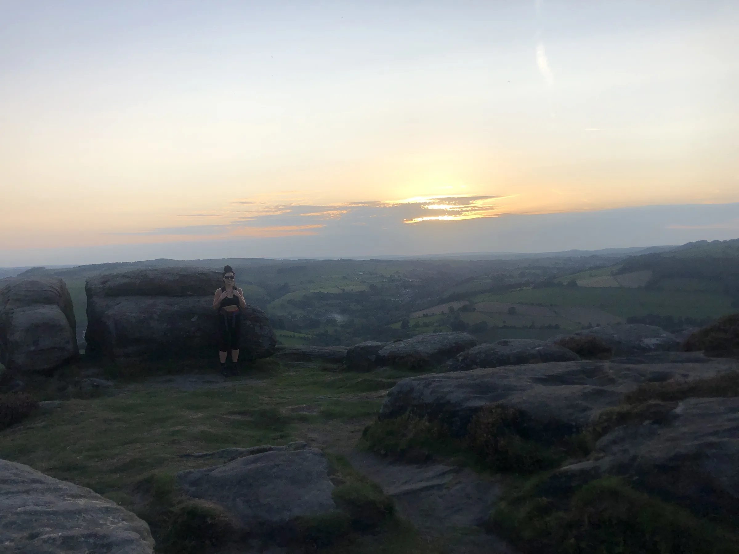
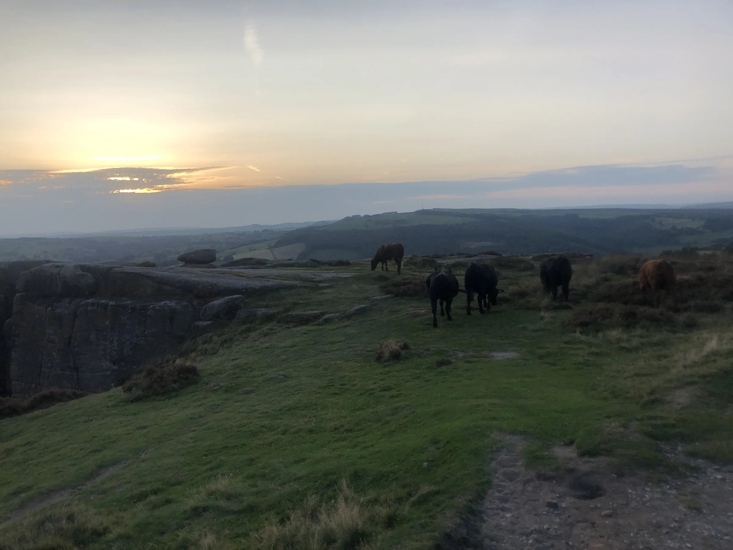
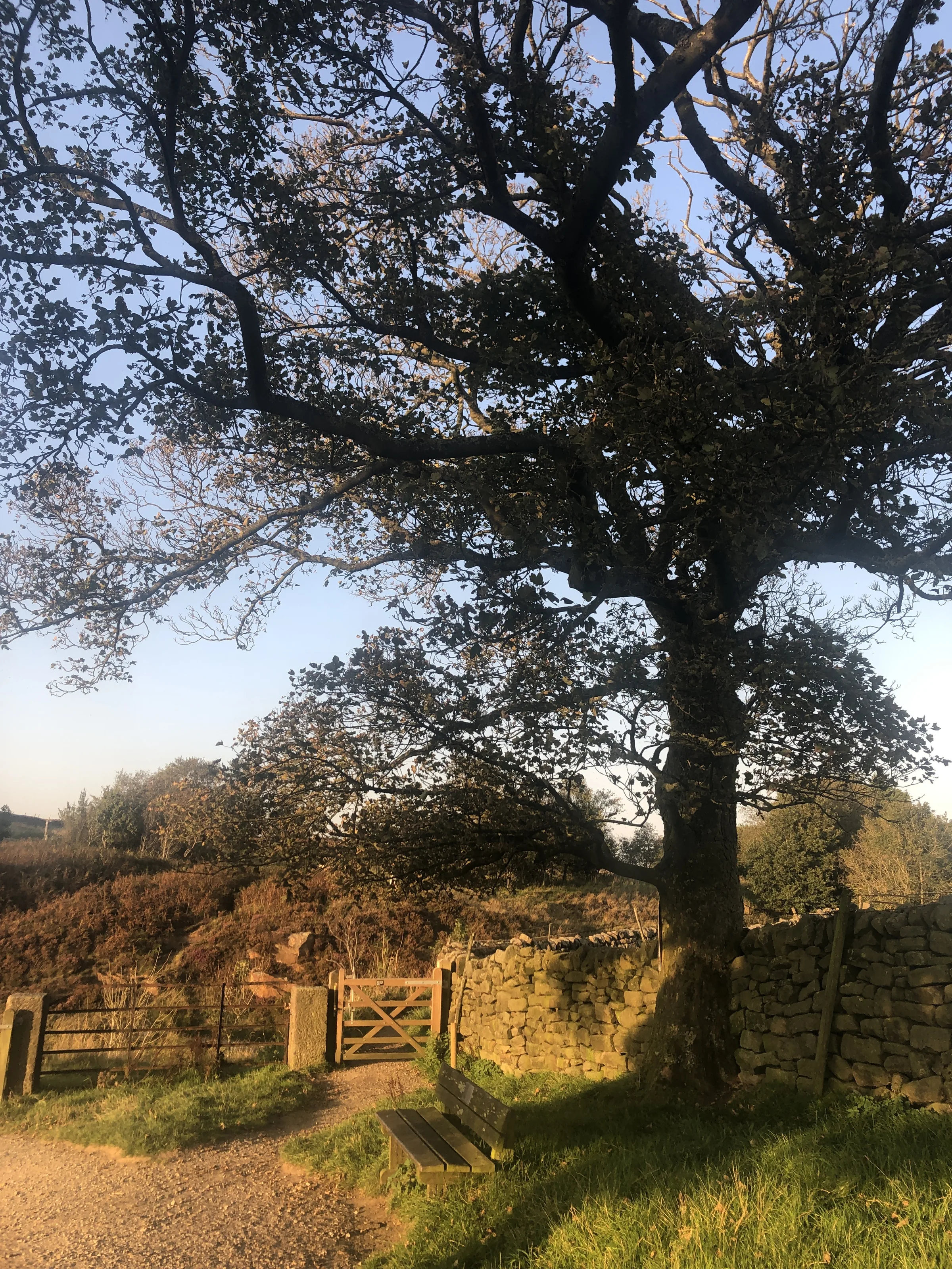
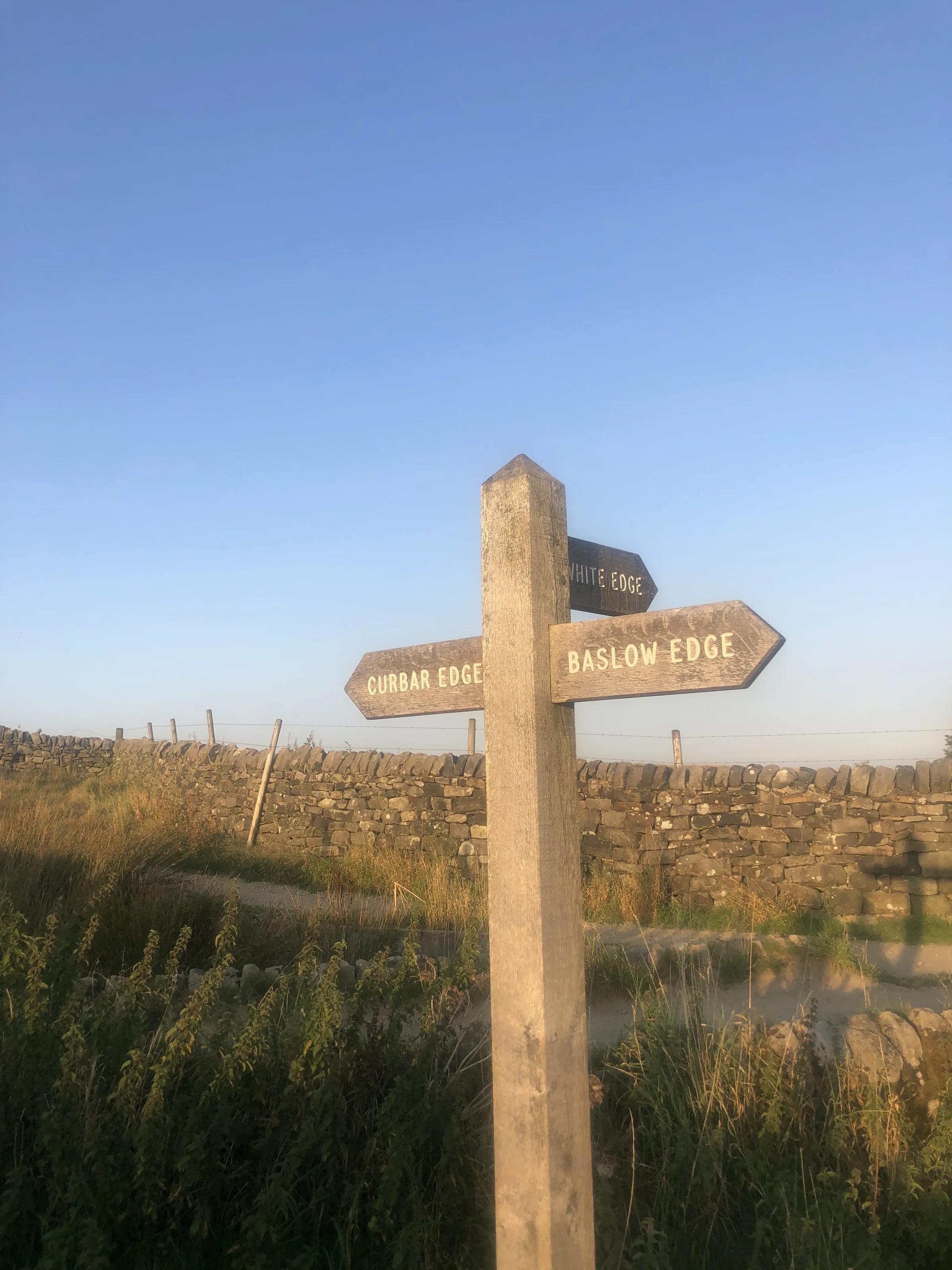
Photos
Photo credits
Photos without a credit are our own. These are used under Creative Commons licences; thank you to the photographers.
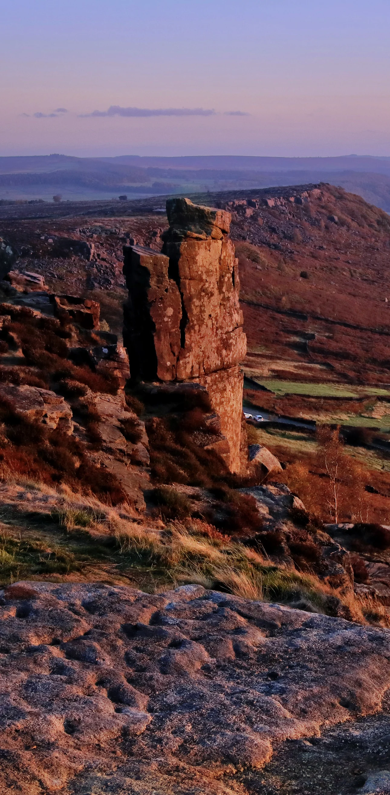
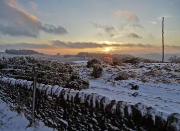
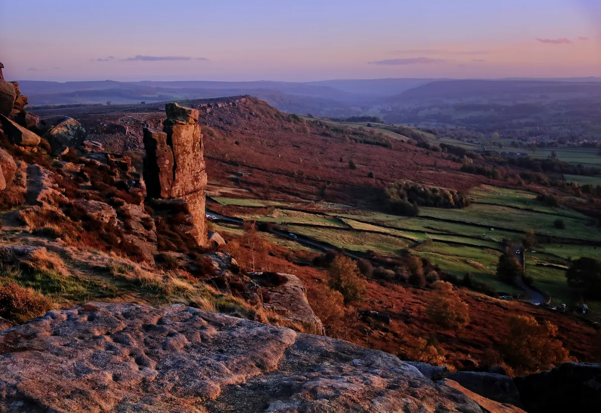 Autumn evening on Curbar EdgeHero photo · by Andy Stephenson, Wikimedia Commons (Geograph)Original photoCC BY-SA 2.0 licence
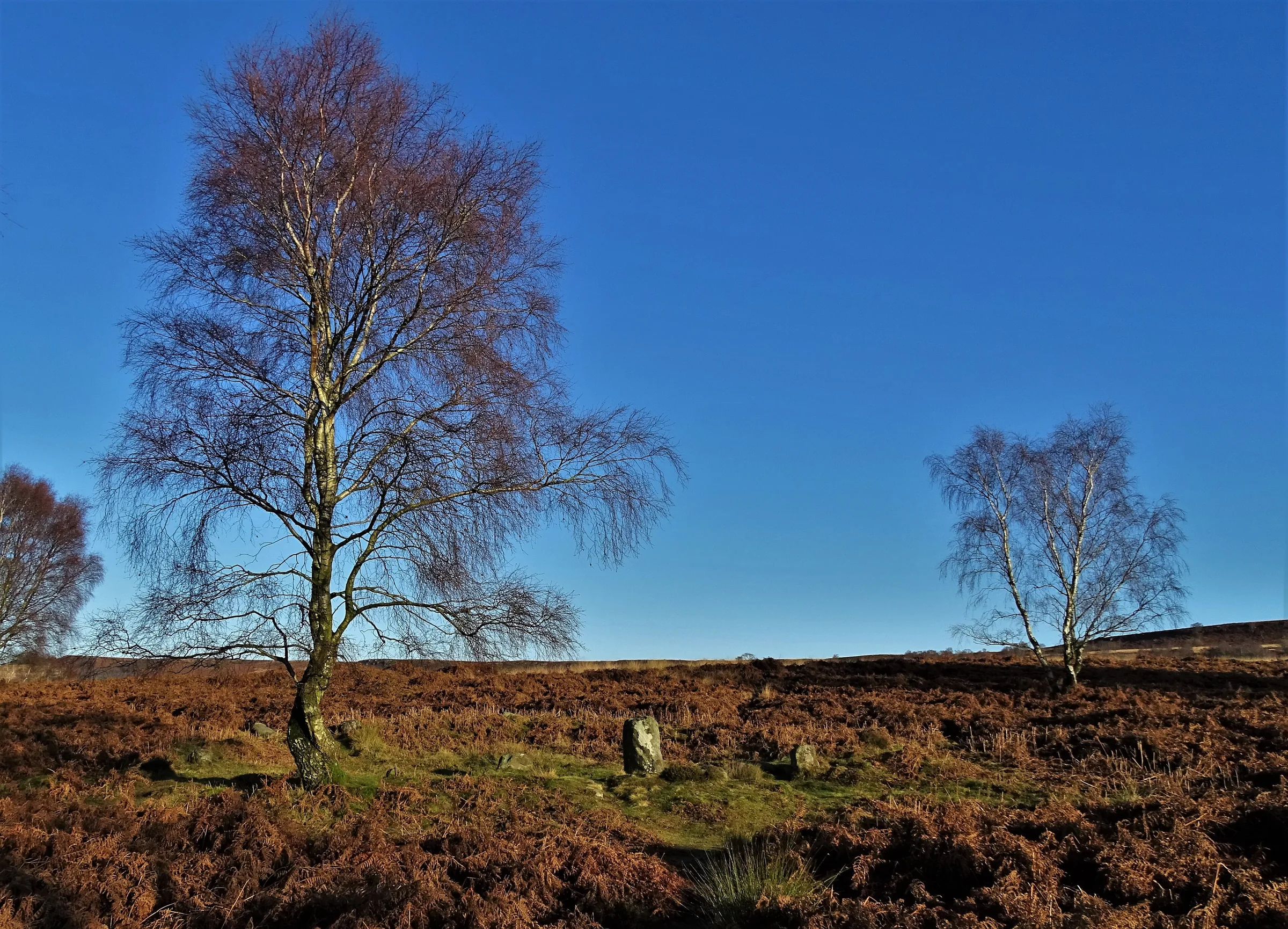
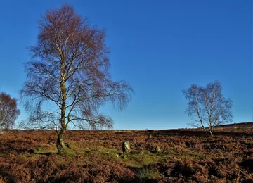 The stone circle above Froggatt Edgeby Neil Theasby, Wikimedia Commons (Geograph)Original photoCC BY-SA 2.0 licence
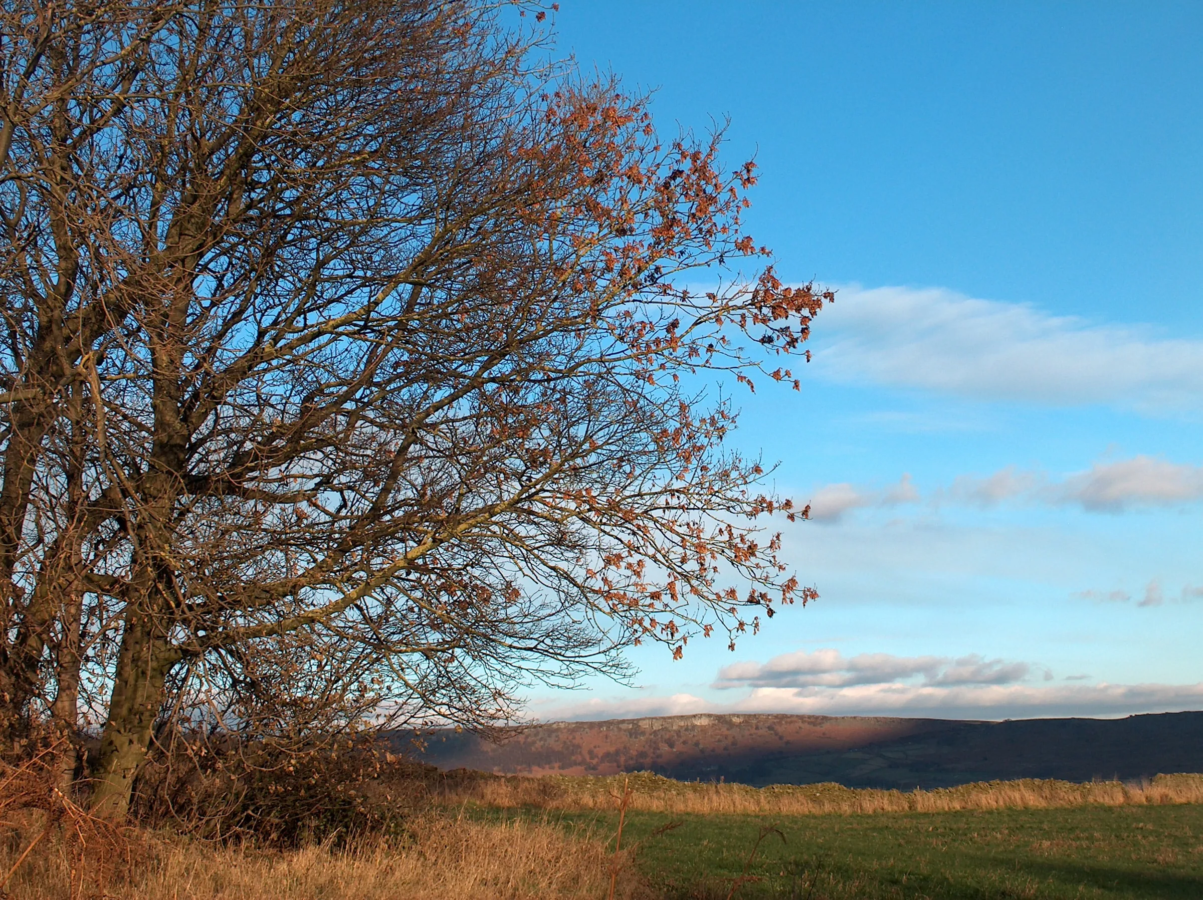
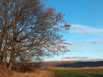 Looking towards Curbar Edge from Bank Woodby Neil Theasby, Wikimedia Commons (Geograph)Original photoCC BY-SA 2.0 licence
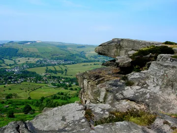
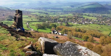 Rocks on Curbar Edgeby Anthony Parkes, Wikimedia Commons (Geograph)Original photoCC BY-SA 2.0 licence
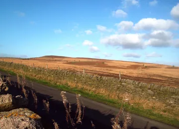 The southern edges of Big Moorby Jonathan Clitheroe, Wikimedia Commons (Geograph)Original photoCC BY-SA 2.0 licence
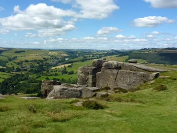 Gritstone rocks on Curbar Edgeby John H Darch, Wikimedia Commons (Geograph)Original photoCC BY-SA 2.0 licence
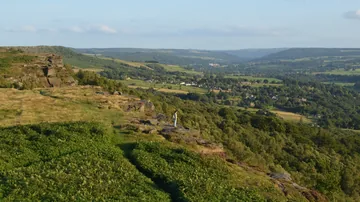 A lone walker on Froggatt Edgeby Andrew Tryon, Wikimedia Commons (Geograph)Original photoCC BY-SA 2.0 licence
 White Edge Lodge from Owler Bar Roadby Neil Theasby, Wikimedia Commons (Geograph)Original photoCC BY-SA 2.0 licence
Hints & Tips
Bring Binoculars
Big Moor, on your right as you walk north along White Edge, is home to the red deer. Binoculars are the best way to watch them, as getting closer just scares them off. In October and early November you may hear the stags roaring during the rut. Give them plenty of room and keep dogs on a lead.
Mind the Main Road
Right at the start you cross the main road between Haywood car park and the gate onto Froggatt Edge. The National Trust asks walkers to take real care here, so keep children and dogs close.
If Haywood Is Full
Haywood has very few spaces. The loop runs straight through Curbar Gap car park at the south end of Curbar Edge, so if Haywood is full you can start there instead and pick up the walk at about the 2.5 mile mark (see Parking).
Stony Edge Paths
The paths along Froggatt and Curbar Edges are mostly level but narrow and stony in places, and the bare gritstone wears into loose, gritty sand underfoot. Keep back from the lip of the crags, especially with children, and wear shoes with a good grip.
Interesting Facts
General
One Edge, Three Names
The name Froggatt Edge only covers the northern part of the escarpment; the middle is Curbar Edge and the southern end is Baslow Edge
A Toll Road at the Gap
The road through Curbar Gap was a packhorse route that became a turnpike, with tolls, in 1759, and a stone guide stoop that showed travellers the way still stands near the car park entrance
Plague Before Eyam
The plague reached Curbar, the village below the edge, in 1632, before it came to Eyam, and the Cundy family of Grislowfield Farm were among its victims
The Bible Stones
Between Curbar Gap and the village are carved stones with Bible references, made in the 19th century by Edwin Gregory, a mole catcher for the Duke of Devonshire
The Circle on Stoke Flat
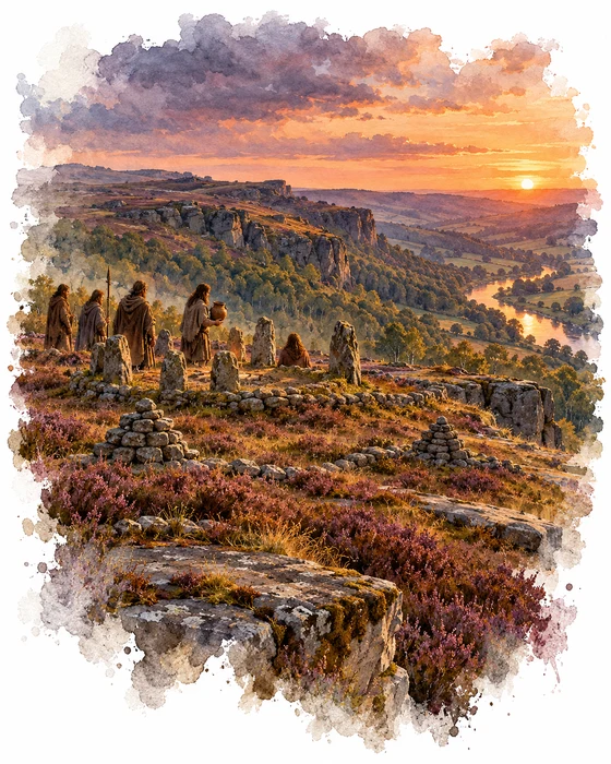
Beside the track at the north end of Froggatt Edge, on a flat shelf of moor, are the remains of a small stone circle, known to archaeologists as Stoke Flat West. It is an embanked circle, about 11.5m across inside, with two entrances facing each other, one to the north-north-east and one to the south-south-west. Two big upright stones flank the south-south-west entrance, the taller standing about 1.1m high. Nine stones still stand on the inner face of the bank, and there were probably about 16 to begin with.
The circle doesn't stand alone. Around it are low banks of stones cleared from the ground, marking out about eight small fields in a long north-south strip, along with about 50 cairns. Most of these were simply heaps of cleared stone, but cairns like these were often reused for burials, and a group of 14 small cairns right next to the circle may hold burials too. Fields of this kind were first laid out in the Neolithic, and most were in use through the Bronze Age, roughly 2000 to 700 BC, the time when these moors were used most intensively. The East Moors as a whole cover about 40 square miles and hold some of the largest and best-preserved prehistoric field systems and cairnfields in northern England.
In the early 20th century the landowner, the Duke of Rutland, partly dug into the circle with his gamekeeper, a man named Peat, and at some point an urn holding a cremation was reported from the site, though both have since been lost. The circle was scheduled as an ancient monument in 1997 and is now protected by law, so please leave the stones as you find them.
The Deer of Big Moor
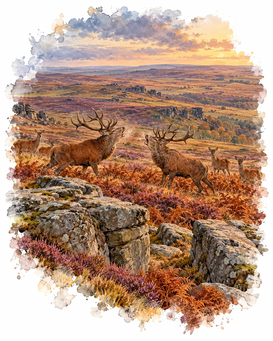
From White Edge you look east over Big Moor, home to a herd of wild red deer, the UK's largest land mammal. Their coats are reddish in summer and greyish brown in winter, and in the heather you may only spot a stag's antlers sticking up above it. Professor Ian Rotherham has explained that the herd began in the 1980s, when a small group escaped from Chatsworth and settled on Big Moor. A second small group, let loose by a wealthy landowner at Totley, later joined them.
The numbers grew fast. Only 54 deer were counted on Big Moor in 2004, but the count there had reached 263 by 2014. Too many deer stop young trees growing, hold back the moorland plants and graze meadows that should be left to flower and seed, so the Eastern Moors Partnership, run by staff from the RSPB and the National Trust, counts them every winter using a drone with a thermal camera. It then decides whether some of the hinds need to be culled. A wooded landscape would support about ten deer per square mile, but parts of Big Moor sometimes carry around 50.
The best time to see and hear them is the autumn rut, in October and early November, when the stags arrive to compete for the hinds. They roar, sometimes lock antlers, and often back off without a real fight. The partnership's Danny Udall describes it as a tussle, a test of strength rather than a fight to the death, though stags lose so much weight during the rut that some die of exhaustion in a hard winter. Bring binoculars and stay well back.
More Hikes
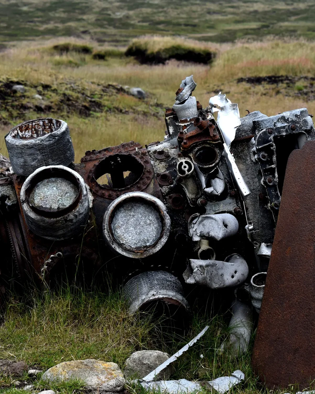 ModerateThe Crashed Plane3.7 mi · 2–3 hrs · 145m
 ModerateDerwent Edge7.5 mi · 3–4 hrs · 367m
 HardKinder Scout9.4 mi · 4–6 hrs · 635m
 ModerateDovedale & Thorpe Cloud6.8 mi · 3½–4½ hrs · 476m
 ModerateShutlingsloe6.4 mi · 3–4 hrs · 429m
 ModerateKinder Downfall7.3 mi · 4–5 hrs · 564m
Subscribe for updates on new hikes and National Parks
One email a month with new hikes and routes. No spam.