



Contents
Overview
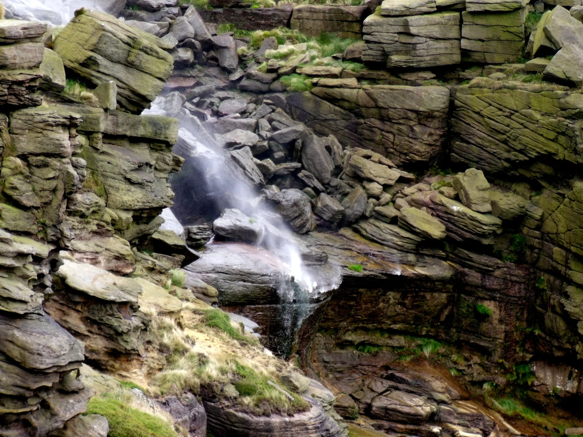
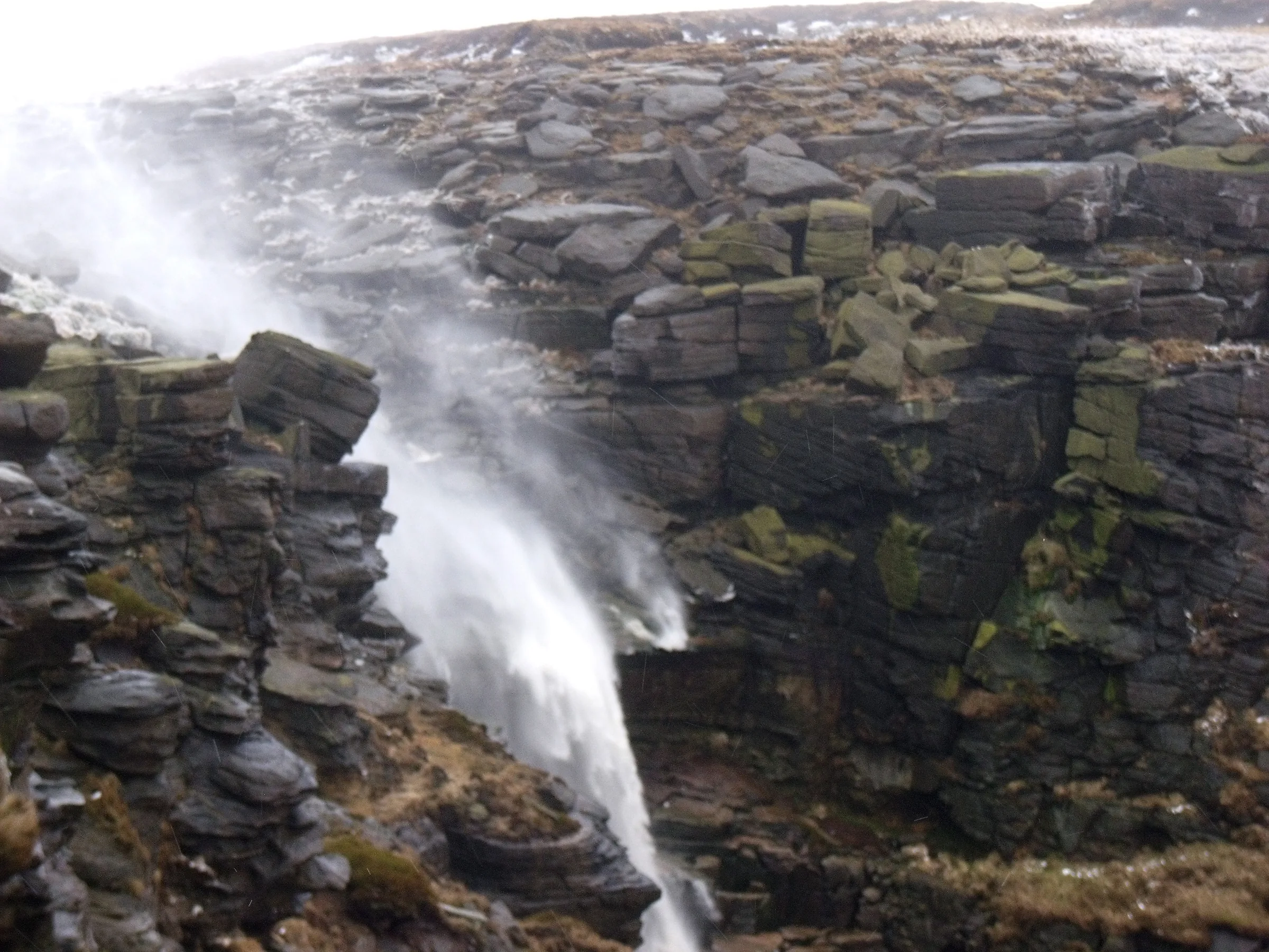
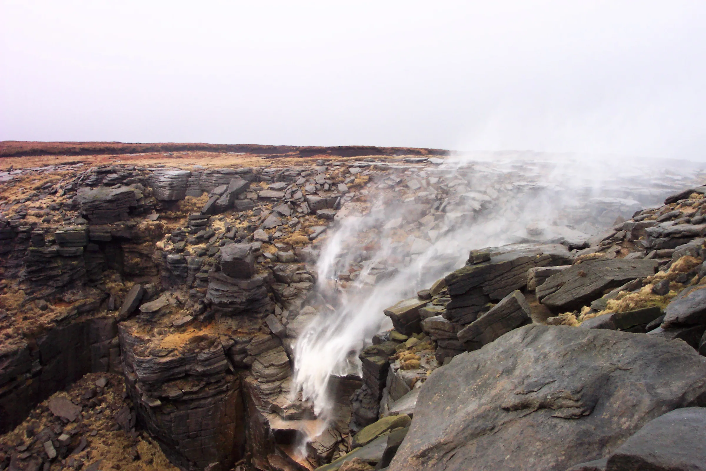
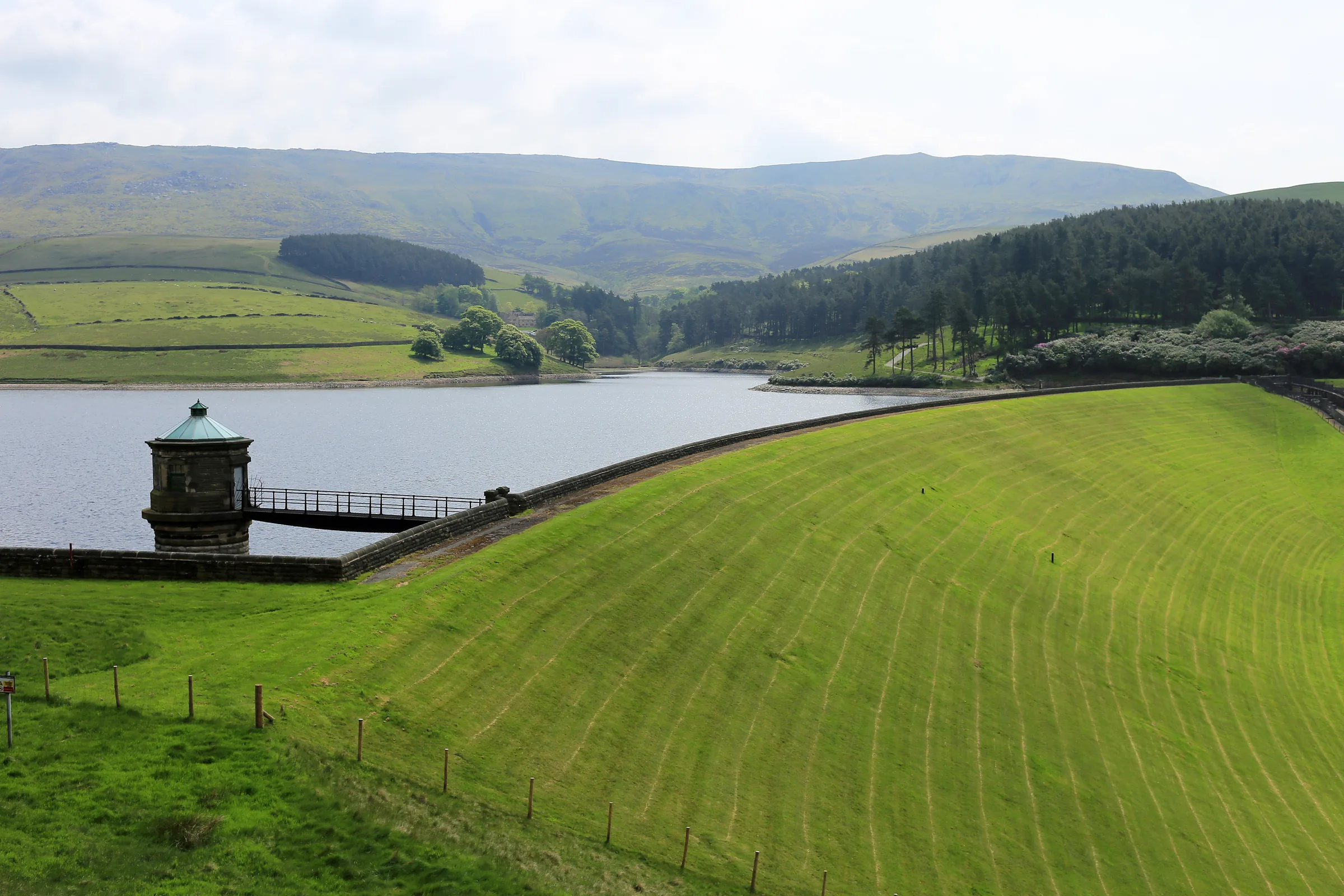
Water leaves the Kinder plateau in style. The River Kinder rises on the peat of Kinder Scout and runs west to the edge, where it drops 30m at Kinder Downfall, the tallest waterfall in the Peak District. For much of the summer it is only a trickle, but after heavy rain it is a fine sight, and when a strong west wind blows the water is thrown back up over the edge in a cloud of spray. Below the edge the river fills Kinder Reservoir, built for Stockport and opened in 1912, before it meets the River Sett at Bowden Bridge, just outside Hayfield.
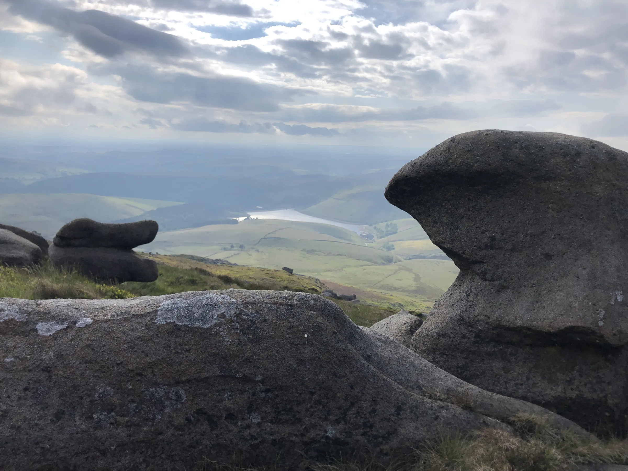
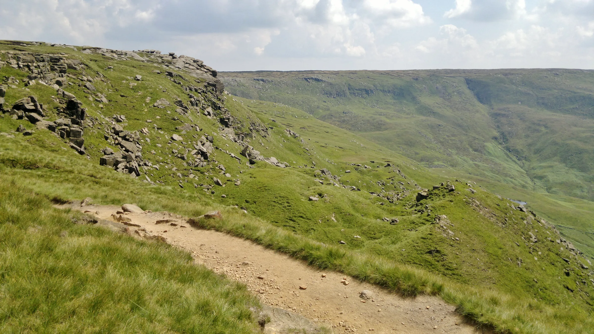
This loop starts at Bowden Bridge car park and follows Kinder Road beside the river up to the reservoir. From there a path runs above the water to the foot of William Clough, and you climb the clough on a narrow path to Ashop Head. Here you join the Pennine Way and climb a steep, pitched path onto the edge of the plateau. Follow the edge path round to Kinder Downfall, cross the river just above the fall, then head south along the western edge, over Red Brook, to the trig point on Kinder Low. The way down is the steep, stony spur of Kinderlow End, past an ancient burial mound, then across fields back to the river and the car park.
Go prepared, stay safe,
and enjoy the hike!
Key Info
Crowds
High
Kinder Downfall is one of the best known spots on Kinder Scout. The walk starts from Bowden Bridge, a small car park that can get busy at peak times. Like most popular Peak District walks, it is usually quieter on weekday mornings and later in the day.
When it gets busy
- Weekends, bank holidays and sunny days
- Bowden Bridge car park, which is small and can get busy at peak times
For a quieter walk
- Arrive early to get a space at Bowden Bridge
- Go on a weekday rather than a weekend
- If the car park is full, there is some street parking on the road with the Sportsman pub, but never park on Kinder Road beyond the car park entrance
- Take the bus to Hayfield (60, 61 or 358) and walk about a mile to the start
- The stretch around Kinder Reservoir is usually far quieter than the main paths up Kinder Scout
Our crowd rating is for a typical sunny weekend in spring or summer, in the middle of the day. Timing makes a big difference, so even a busy walk can be quiet early, late or midweek.
The Route
Disclaimer: Route information and GPX files are provided for general guidance only. Conditions can change, so always use your own judgement and navigate responsibly. See our Terms of Use & Disclaimer for more information.
Route Guide
- 1
Up to the Reservoir1.5 mi · 100m up · 15m downTurn left out of the car park and walk up Kinder Road beside the River Kinder. Go through the gate and up the steep path to Kinder Reservoir, then follow the path north with the water on your right to the small bridge at the top of the reservoir, where William Clough begins.
- 2
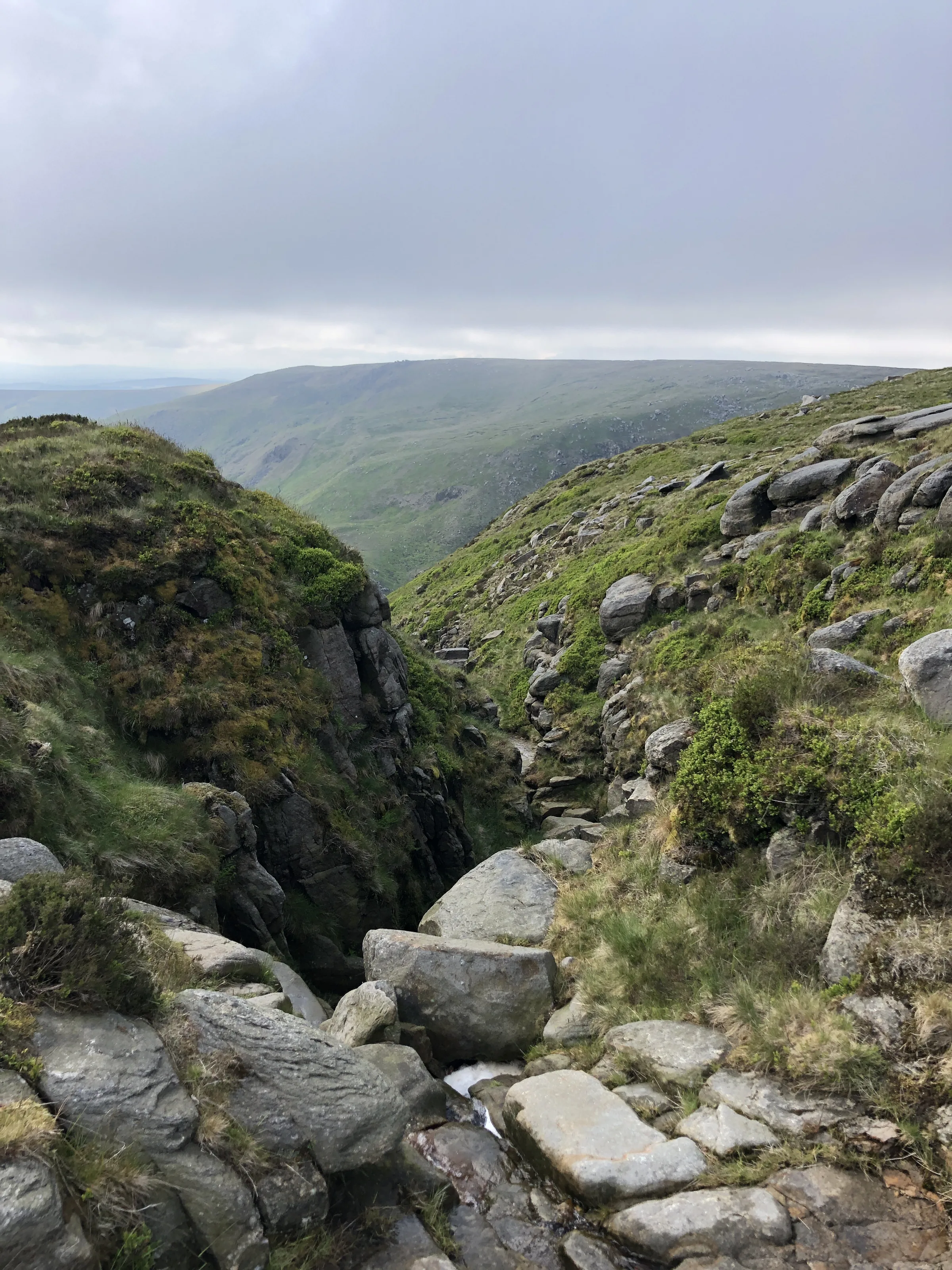
Climb William Clough0.8 mi · 190m upDon't cross the bridge. Follow the narrow path up the clough beside the stream; it often splits and joins again, so just keep heading up the valley. The climb ends on the paved Pennine Way at Ashop Head.
- 3
Onto the Edge0.5 mi · 85m upTurn right (south-east) on the Pennine Way and climb the steep, pitched path up onto the edge of the Kinder plateau. Once you're at the top, the hardest climbing of the day is done.
- 4
Along to the Downfall1.1 mi · 40m up · 30m downFollow the edge path east along the top of the crags, with Kinder Reservoir below on your right, to Kinder Downfall. Here the path crosses the River Kinder just above the fall.
- 5
South to Kinder Low1.2 mi · 80m up · 45m downTurn south and follow the main path along the western edge, which avoids most of the peat channels. Cross Red Brook at about mile 4.5 and carry on to the trig point on Kinder Low, the highest point of the walk at 633m.
- 6
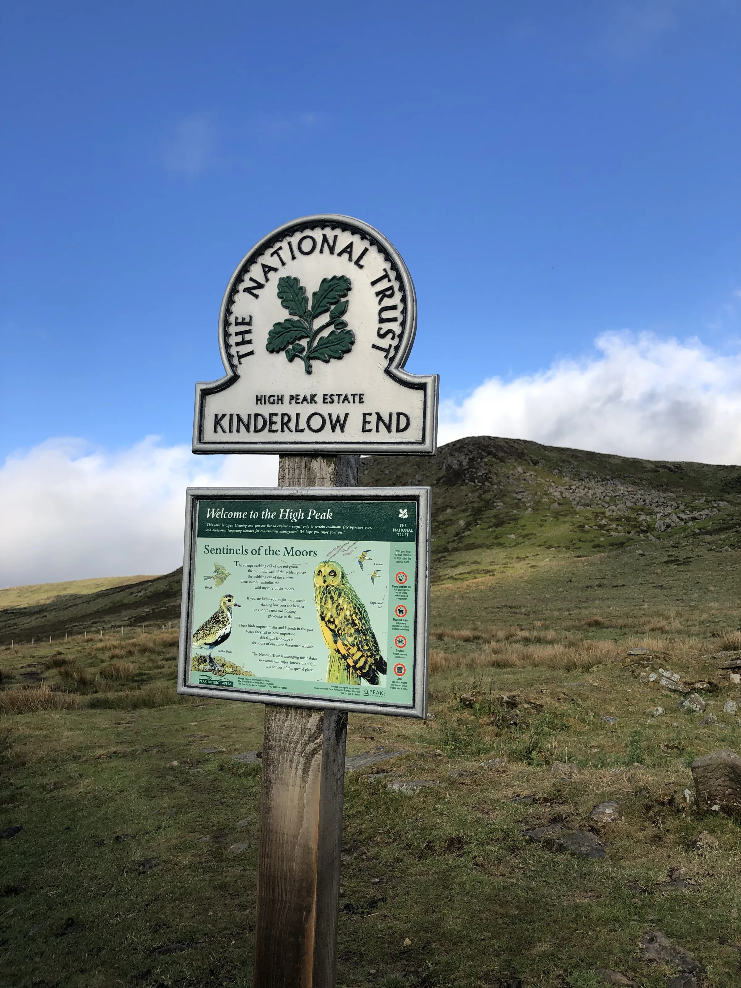
Down Kinderlow End2.2 mi · 10m up · 415m downHead west off the plateau on the paved path, past the Kinderlow bowl barrow, and down the steep, stony spine of Kinderlow End. Lower down, follow the paths down through the fields to the river, cross the bridge where the Kinder meets the Sett, and walk back to the car park.
Use the route on OS Maps, AllTrails or Komoot to navigate on the day; this guide is for planning.
Parking
The walk starts from Bowden Bridge car park (SK22 2LH), a small Peak District National Park Authority car park in an old quarry on Kinder Road, about a mile east of Hayfield. It has 27 spaces and can get busy at peak times. Charges apply from 9AM to 6PM every day: £2.10 for up to 1 hour, £3.40 for up to 2 hours, £5.50 for up to 4 hours or £6.60 for the day, so for this walk get the all-day ticket. The machine takes coins only and gives no change, or you can pay with the RingGo app (location 51705), up to 24 hours after you park because the signal is poor. There's no overnight parking. Public toilets are just across the stone bridge by the car park entrance. Check the latest prices here.
*Prices correct at time of writing; check before you travel.
Facilities & Hospitality
Public toilets just across the stone bridge from the car park entrance, open 24 hours. The accessible toilet needs a RADAR key.
On Kinder Road, about 350m from the car park towards Hayfield, this pub serves home-cooked food and has rooms to stay. It's closed on Mondays except bank holidays.
Weather
Hike Videos
Note: Videos are made by other walkers, not The Lost Peak. They may not follow this exact route, and paths, conditions and facilities may have changed since filming.
Photo Gallery
Photos
Photo credits
Photos without a credit are our own. These are used under Creative Commons licences; thank you to the photographers.
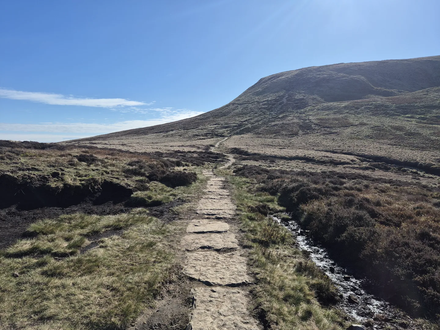
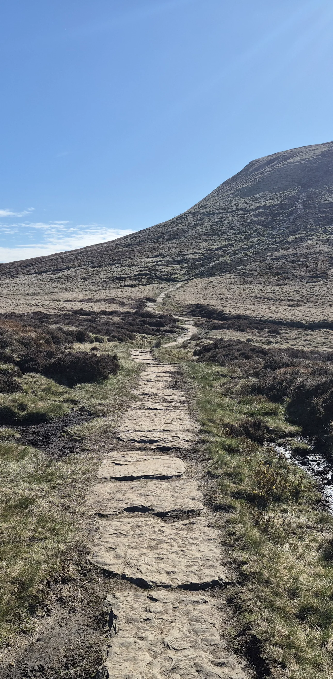
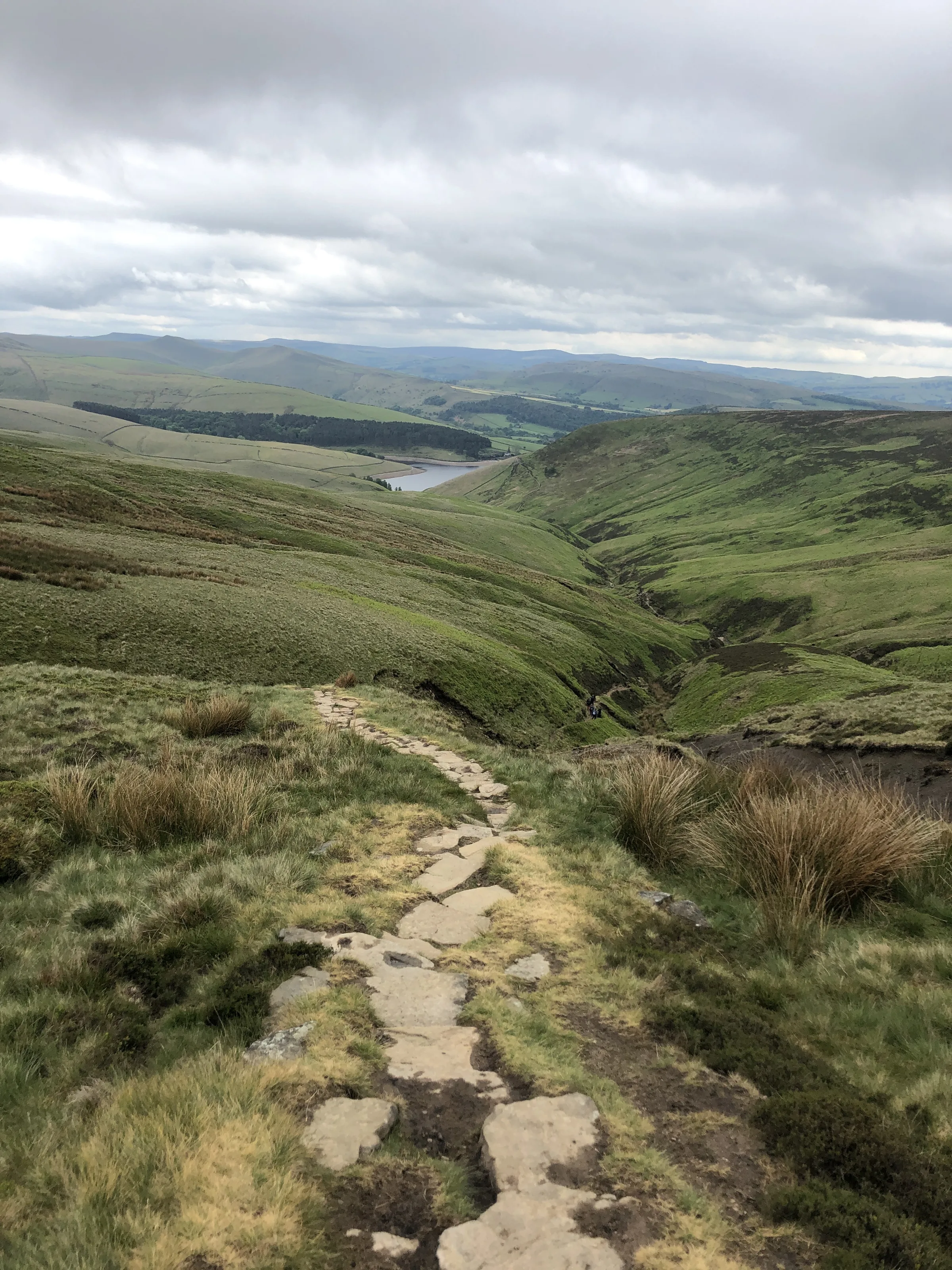
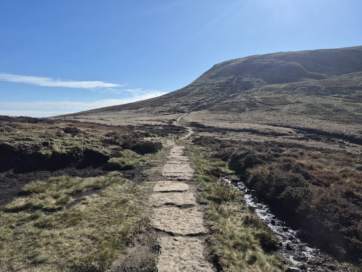 Path towards Kinder ScoutHero photo · by Steven Brown, Wikimedia Commons (Geograph)Original photoCC BY-SA 2.0 licence
 Water pouring over Kinder Downfallby Stephen Burton, Wikimedia Commons (Geograph)Original photoCC BY-SA 2.0 licence
 Spray blown back at Kinder Downfallby Stephen Burton, Wikimedia Commons (Geograph)Original photoCC BY-SA 2.0 licence
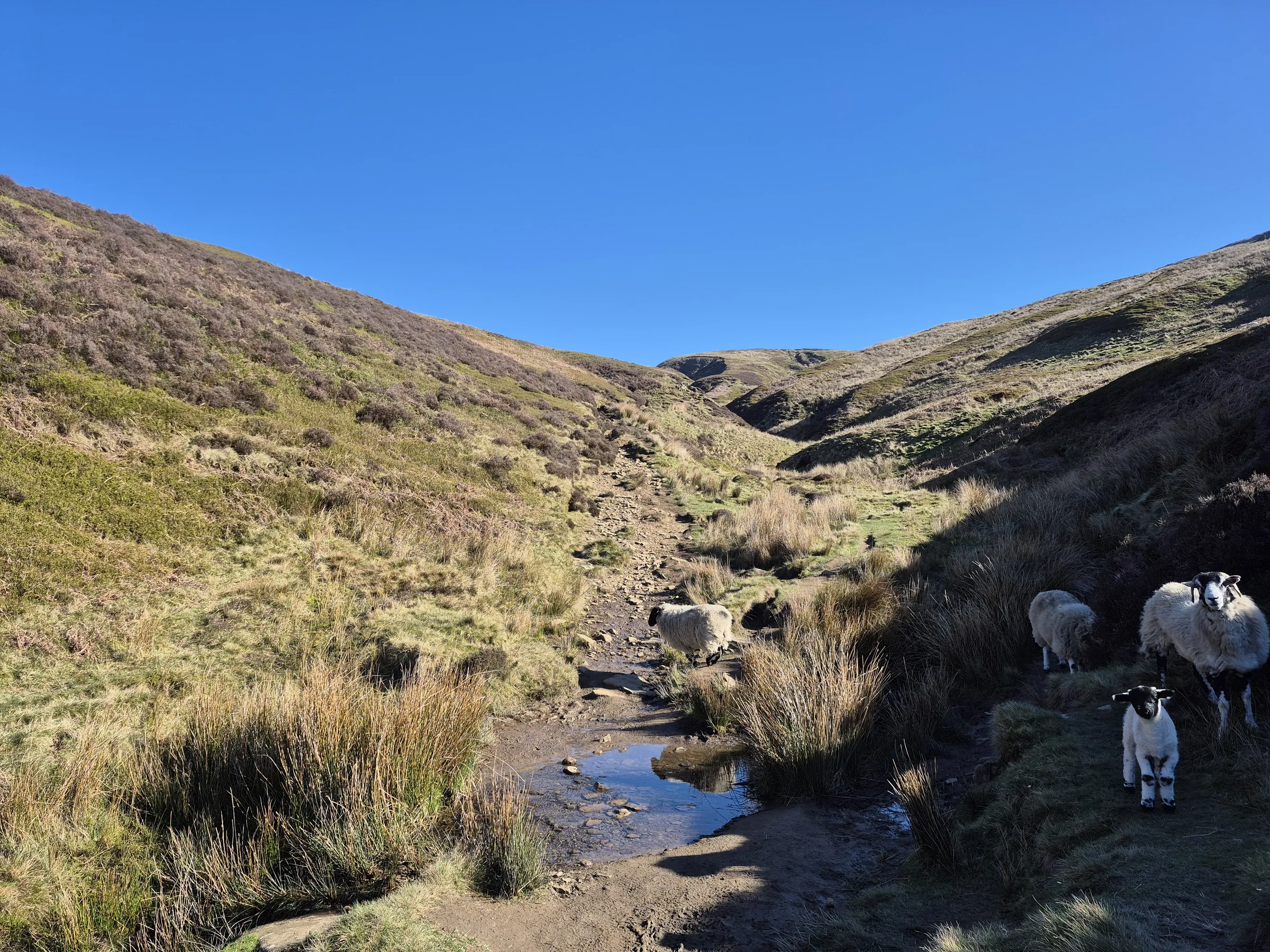
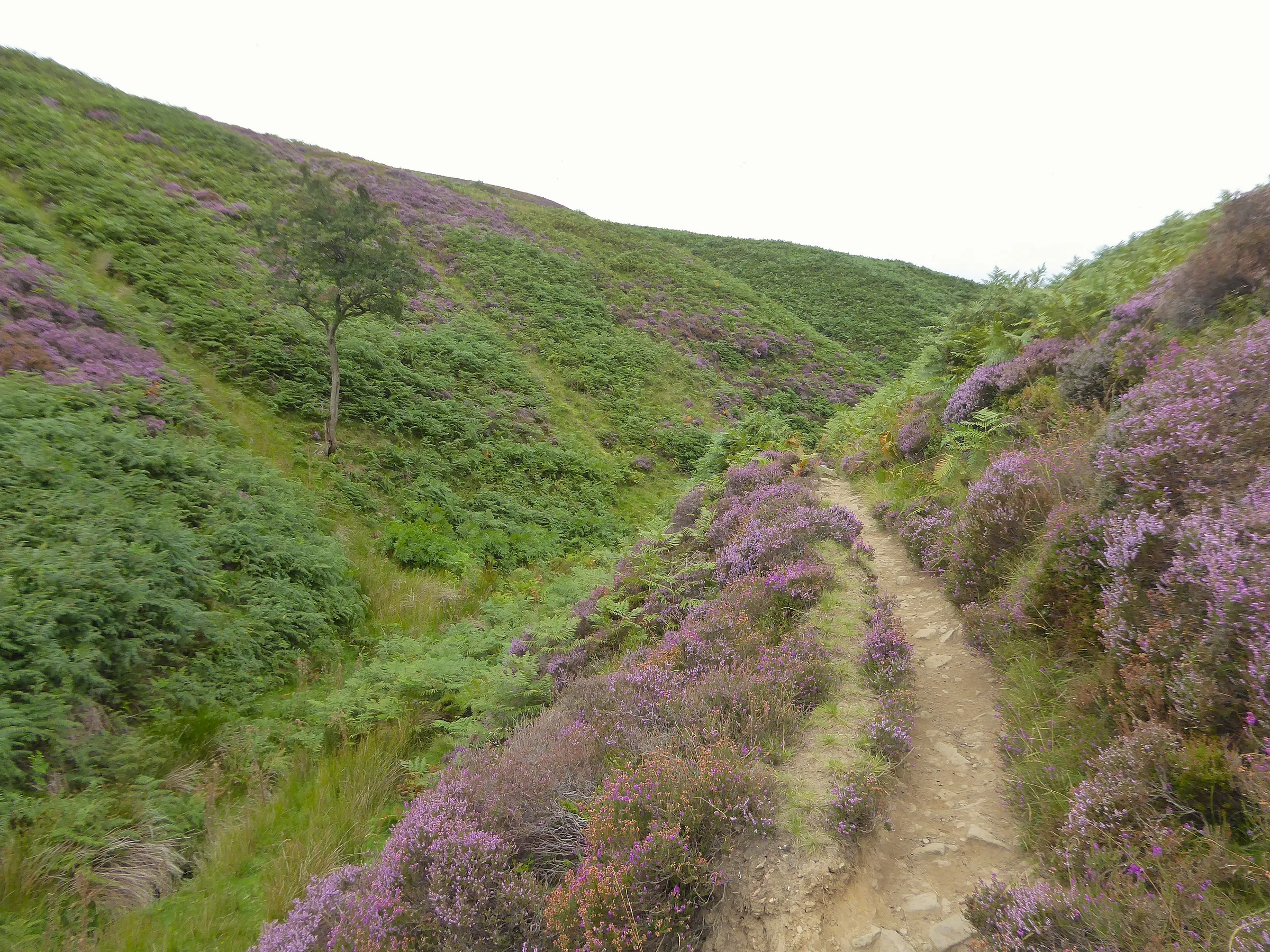
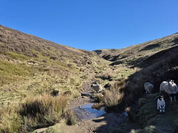 Path up William Cloughby Steven Brown, Wikimedia Commons (Geograph)Original photoCC BY-SA 2.0 licence
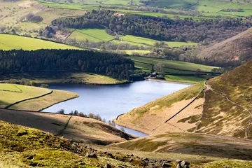
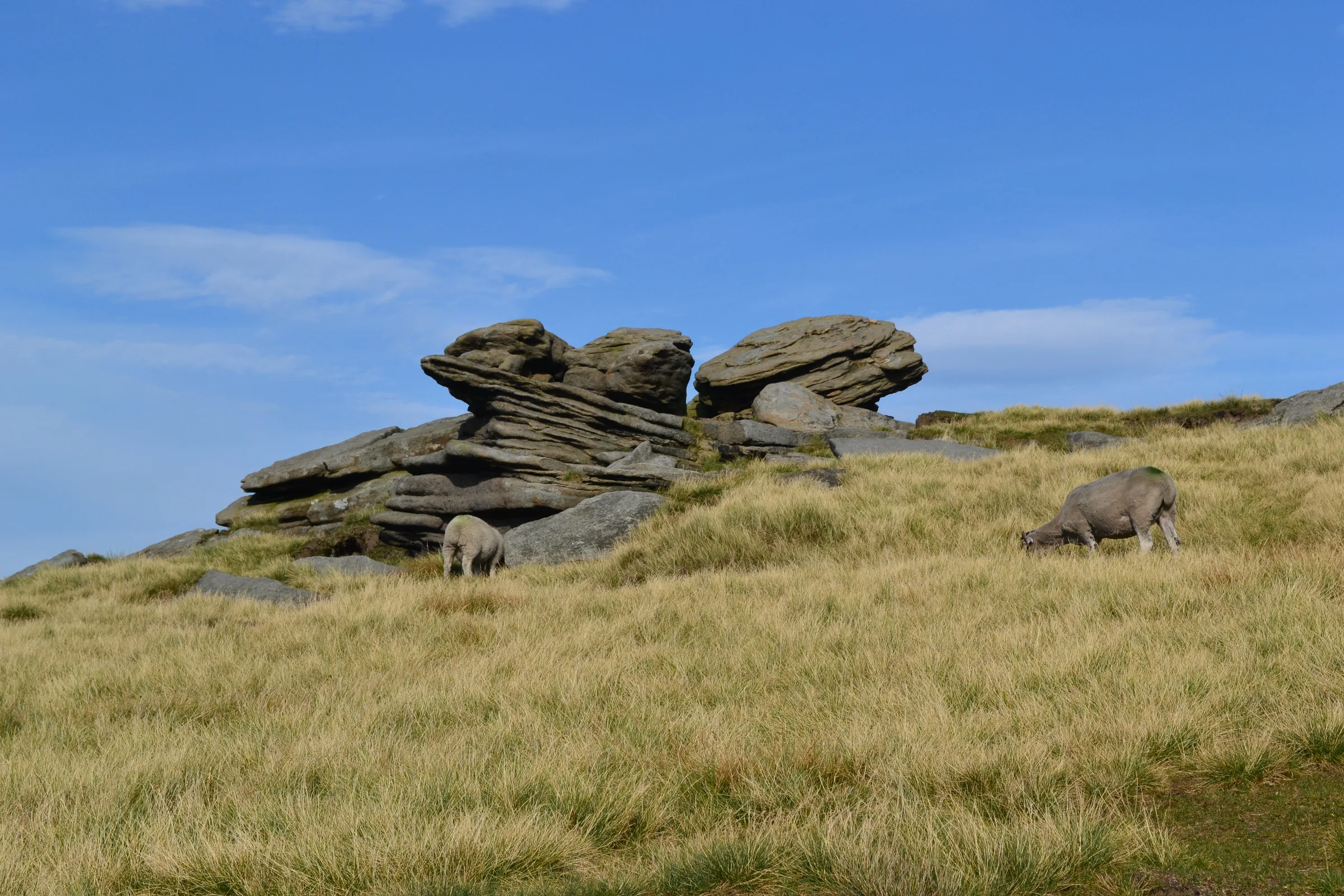
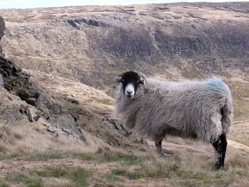
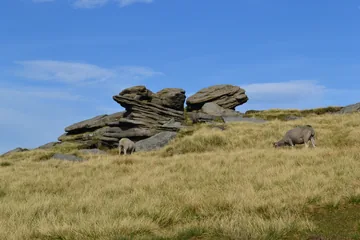 Sheep grazing by a millstone outcrop above William Cloughby Neil Theasby, Wikimedia Commons (Geograph)Original photoCC BY-SA 2.0 licence
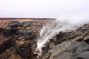
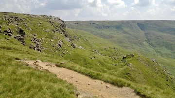 Looking east on path at Sandy Heys, towards Kinder Scoutby Chris Morgan, Wikimedia Commons (Geograph)Original photoCC BY-SA 2.0 licence
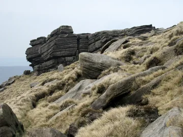 Gritstone outcrops above William Cloughby John H Darch, Wikimedia Commons (Geograph)Original photoCC BY-SA 2.0 licence
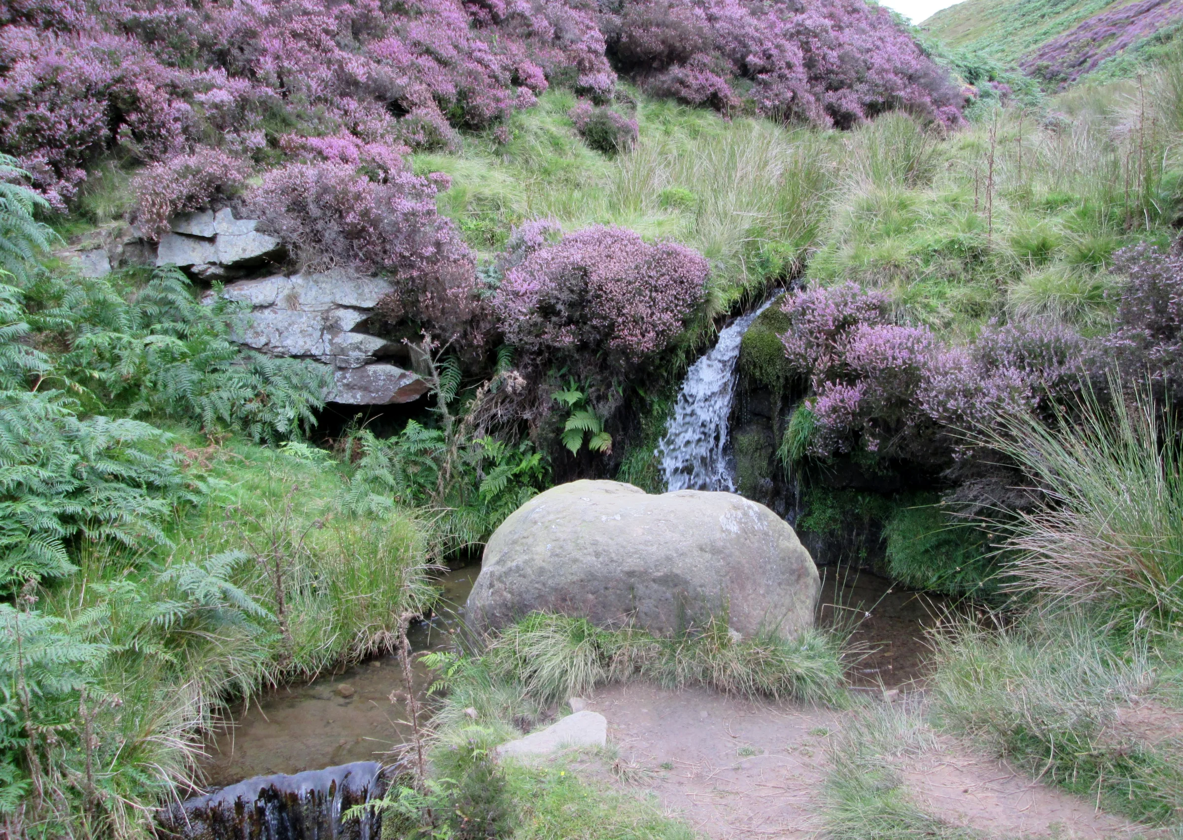
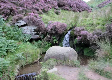 Stream through William Cloughby Martin Dawes, Wikimedia Commons (Geograph)Original photoCC BY-SA 2.0 licence
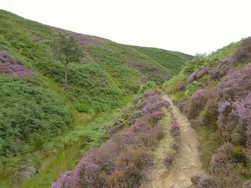 Lone tree in William Cloughby Kevin Waterhouse, Wikimedia Commons (Geograph)Original photoCC BY-SA 2.0 licence
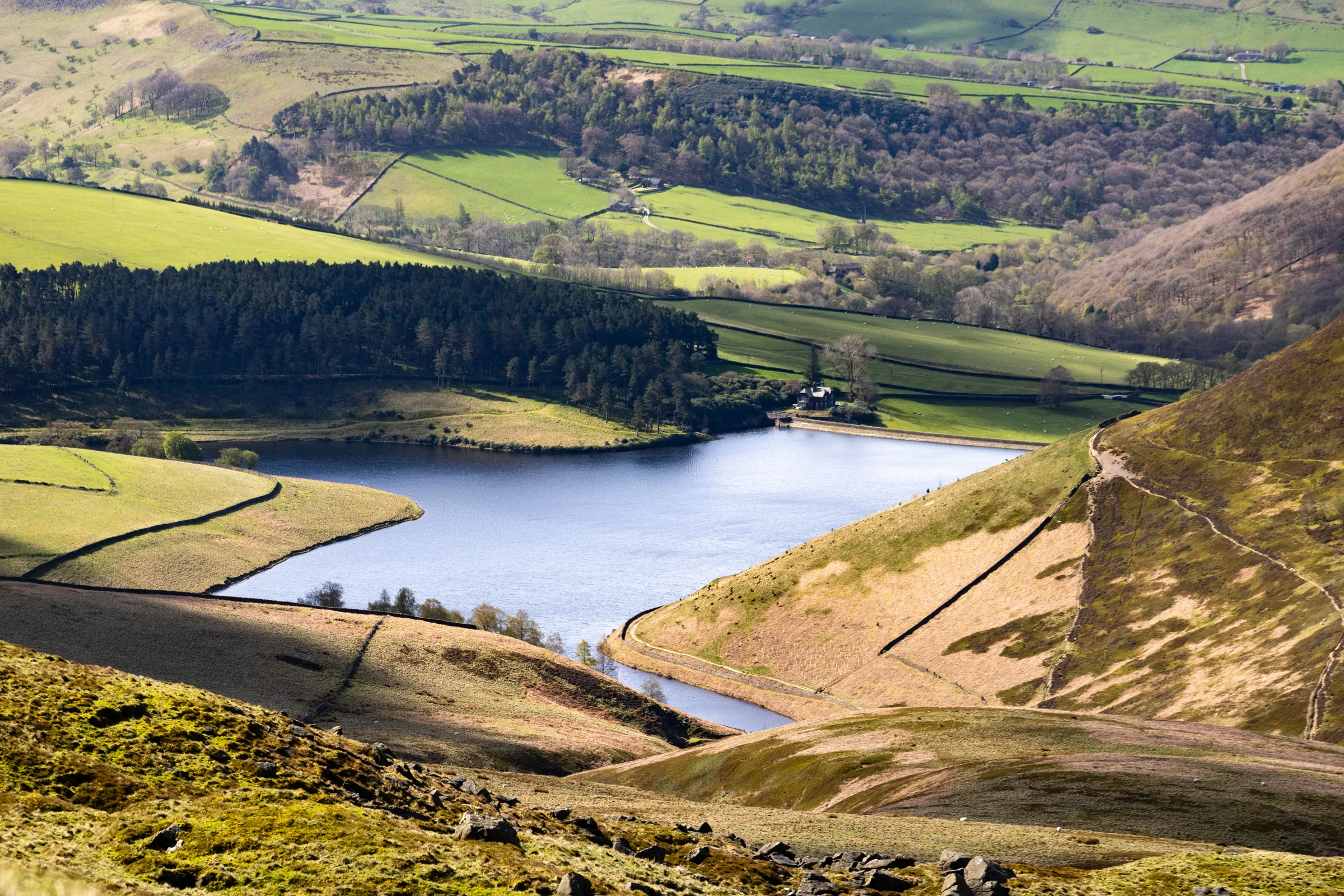
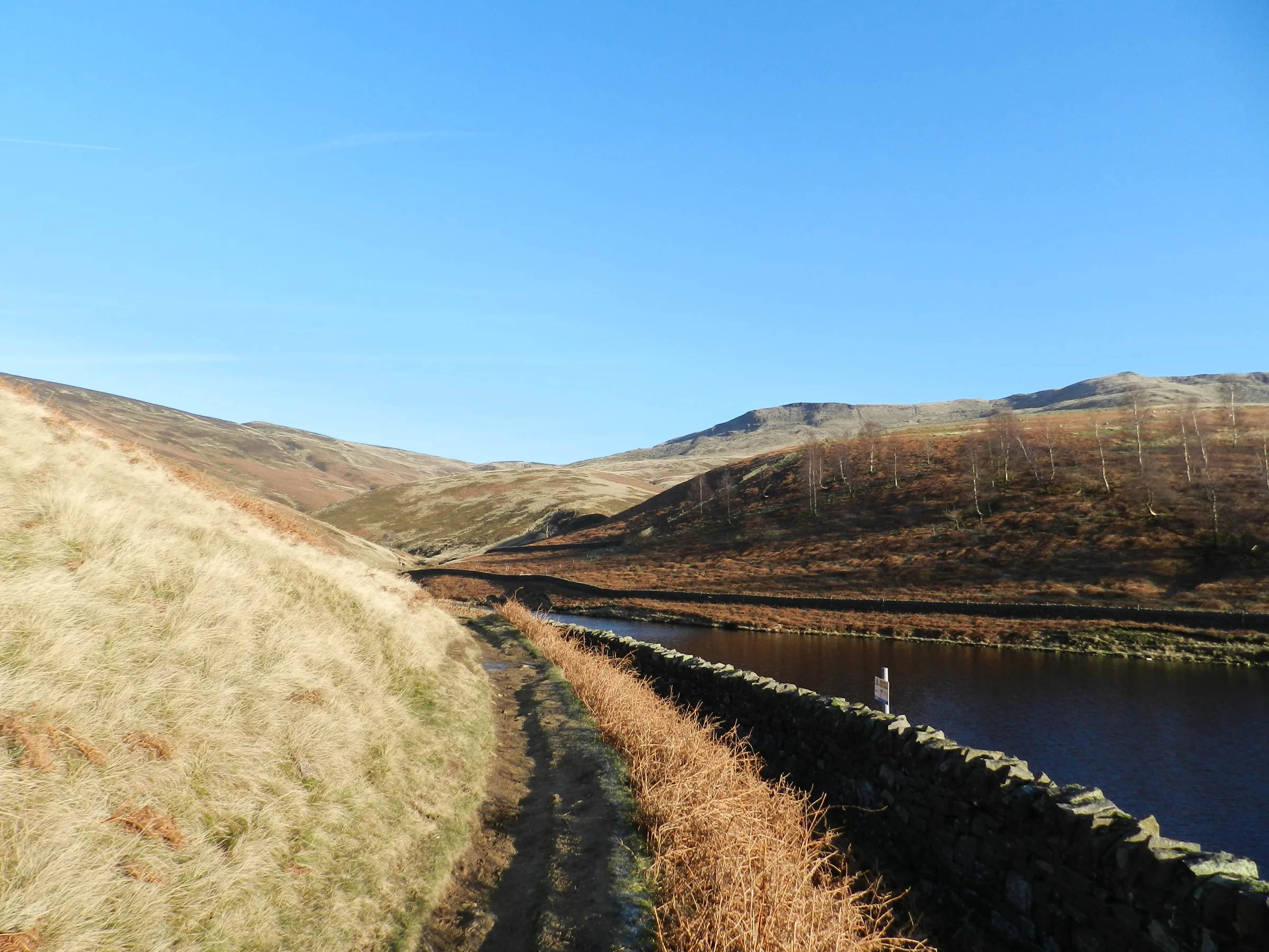
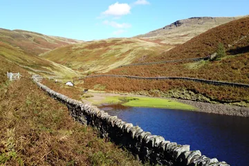 Looking over Kinder Reservoir towards William Cloughby Chris Morgan, Wikimedia Commons (Geograph)Original photoCC BY-SA 2.0 licence
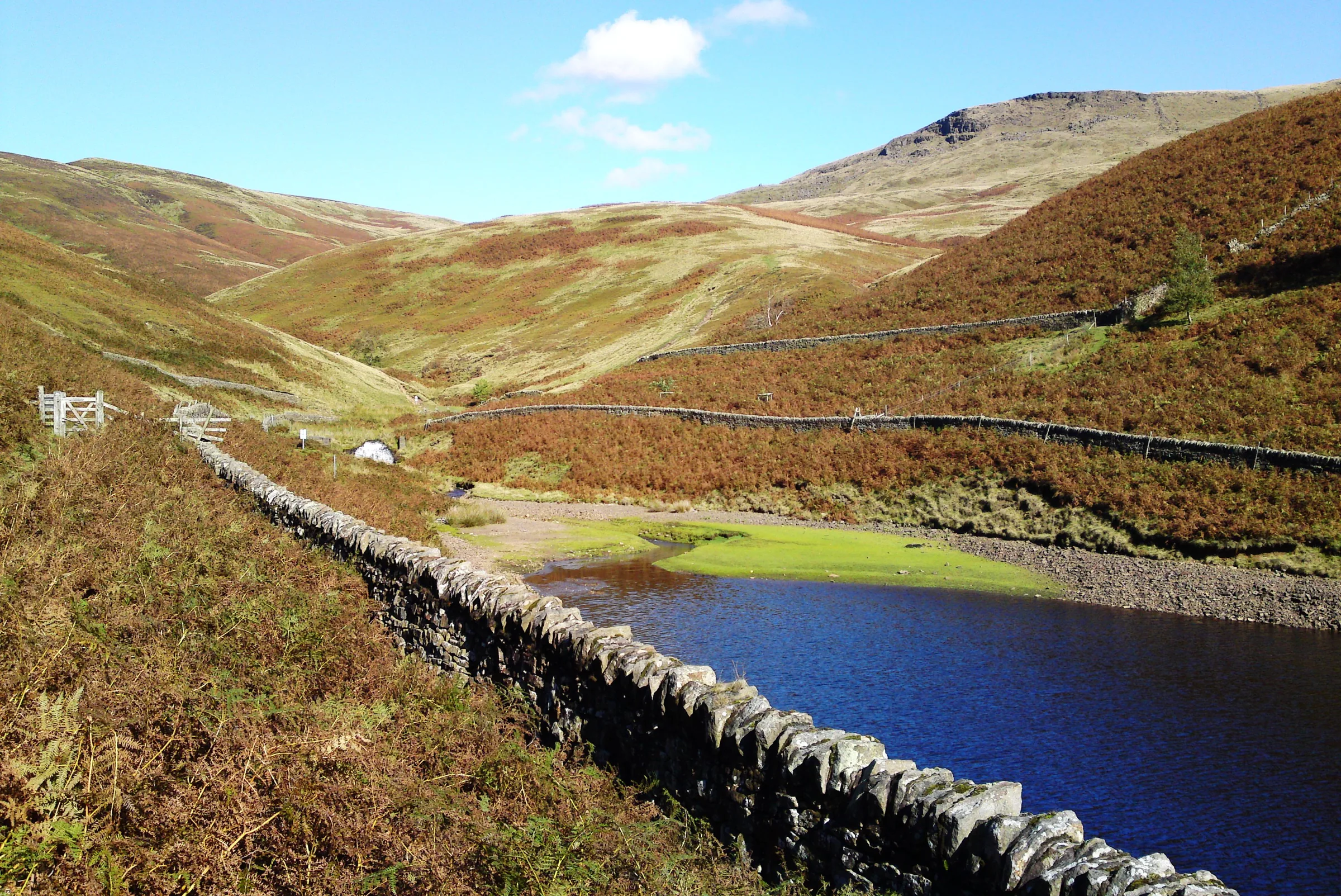
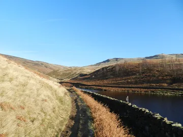 Approaching the northern arm of the Kinder Reservoirby Peter Barr, Wikimedia Commons (Geograph)Original photoCC BY-SA 2.0 licence
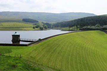 Dam wall - Kinder Reservoirby Peter Turner, Wikimedia Commons (Geograph)Original photoCC BY-SA 2.0 licence
Hints & Tips
Crossing the Kinder
The edge path crosses the River Kinder just above Kinder Downfall. For much of the summer it is barely a trickle, but after heavy rain it can be a proper ford, so take care on the wet rock and stay well back from the lip of the fall.
Watch It Blow Back
Come after a wet spell on a day with a strong west wind and you may see Kinder Downfall blown back up over the edge, with a plume of spray that can be seen for miles. In hard winters the fall can freeze and becomes a spot for ice climbers.
Steep Down Kinderlow End
The descent from Kinder Low follows the spine of Kinderlow End, and its steepest part is stony underfoot. Take it slowly, especially in the wet, and save some energy for it: it comes at the end of the walk.
Coins or RingGo
Bowden Bridge car park takes coins only, gives no change and doesn't take cards. Phone signal is poor here, so it's one of the few Peak District car parks where you can pay with RingGo (location 51705) up to 24 hours after you arrive.
Interesting Facts
General
Where Kinder Got Its Name
Kinder Downfall was once called Kinder Scut, and it is from the waterfall that the whole Kinder Scout plateau takes its name
A Right of Way Won
After long negotiations, the path from Hayfield up William Clough to Ashop Head and down to the Snake Inn was confirmed as a right of way on 29 May 1897, after a campaign by the Peak District and Northern Counties Footpaths Preservation Society
A Barrow on Kinderlow
On the way down you pass the Kinderlow bowl barrow, a burial mound 17.5m across and about 2m high, probably from the Bronze Age, which has never been dug into
Where the Church Once Stood
Hayfield's parish church once stood at Kirksteads, where the rivers Kinder and Sett meet near Bowden Bridge, before it moved to its present spot in the village in 1386
The Mermaid of Kinder
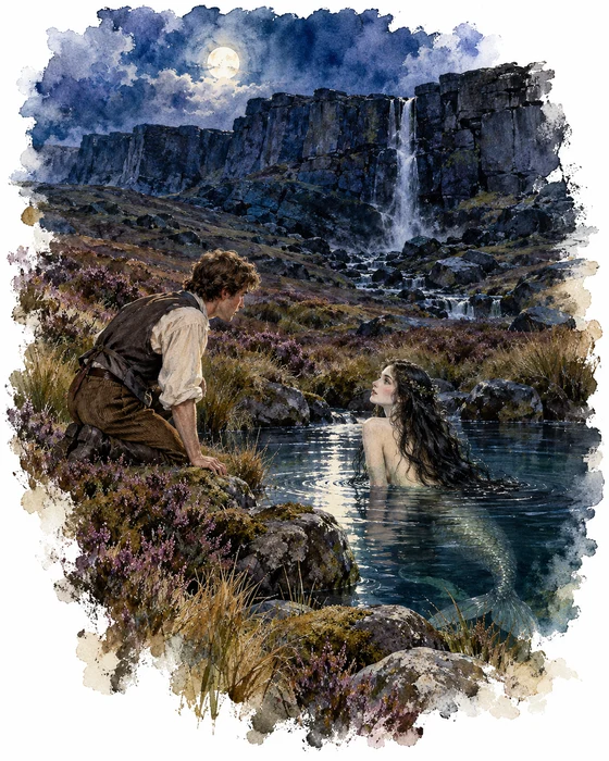
Below the western edge, about half a kilometre from the edge path you walk before the Downfall, lies a shallow moorland pool. It was already marked on a map as Mermaid's Pool by 1840, and people around Hayfield told of a woman who lived in its water. Most called her a mermaid, others a nymph. The best known version says that she shows herself at Easter, and that anyone lucky enough to see her will live forever.
The story can be traced through old books and papers. In 1869 Henry Kirke published a poem, The Mermaid's Pool, in The Reliquary, about a young man who falls in love with the mermaid and drowns in the pool. A year later the Glossop-Dale Chronicle reported that people went up to the pool at Easter to look for her, and in 1872 the Glossop Times told of a Hayfield man who was made immortal by a strange woman who lived in the hillside.
In 1893 Robert Charles Hope wrote in his book on the holy wells of England that a nymph was said to bathe in the pool every day, and that any man who saw her would become immortal. Later writers added a real local man, Aaron Ashton, who died in the 1830s and was said to have climbed to the pool every Easter and lived to 104. Some people think the mermaid was made up quite recently, but the folklorist Simon Young argues that stories of a woman in the pool were really being told locally in the early 1800s.
Building Kinder Reservoir
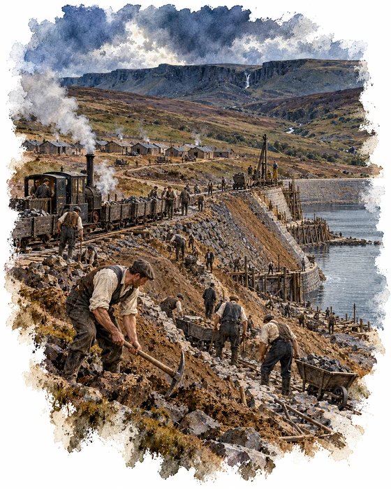
Kinder Reservoir, which you walk beside at the start of this hike, was built because Stockport needed more water. Stockport Corporation took over the local water company in 1899 and began looking for new supplies straight away. The engineer James Mansergh chose this valley above Hayfield, and Abram Kellett of Ealing was hired to build a stone dam and a standard-gauge railway to carry materials and workers to the site. Two Acts of Parliament were needed to approve the railway, and two farms were lost to make way for the reservoir.
The line ran on from Hayfield's railway, skirting the cricket field and running up the Sett valley, and a well-known photograph shows a contractor's engine crossing Church Street in the middle of the old village. Some of the navvies and their families lived in a small settlement of temporary huts a little way down the valley. Work began in 1903, but the ground proved difficult, and in 1905 building stopped and the design was changed from a stone dam to an earth one.
Stockport Corporation and Kellett then ended up in the courts over money, and the Corporation ended his contract. Work started again in 1908 under G H Hill and Sons, and the reservoir was officially opened on 11 July 1912. As well as supplying Stockport, it controls the River Kinder, which had caused serious floods in Hayfield. The cobbled path beside the dam follows an old incline once used to haul materials up the hillside, and the course of the old railway can still be traced in places.
More Hikes
 ModerateThe Crashed Plane3.7 mi · 2–3 hrs · 145m
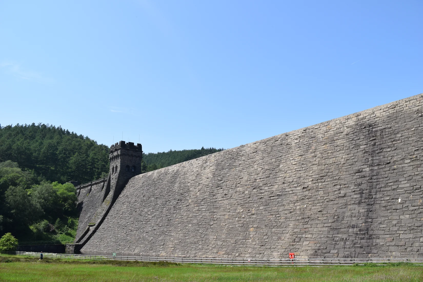 ModerateDerwent Edge7.5 mi · 3–4 hrs · 367m
 HardKinder Scout9.4 mi · 4–6 hrs · 635m
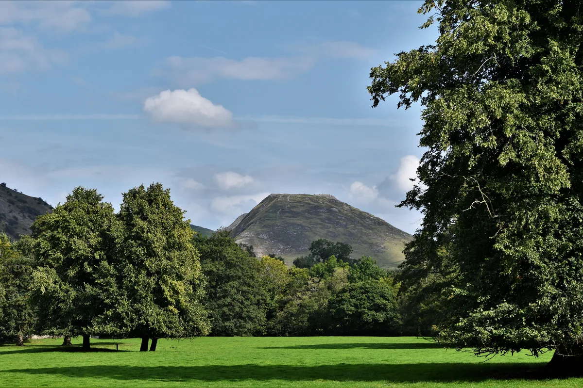 ModerateDovedale & Thorpe Cloud6.8 mi · 3½–4½ hrs · 476m
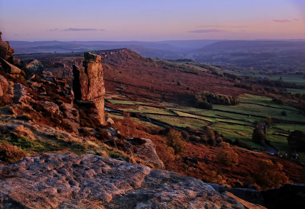 EasyCurbar & Froggatt Edges5.8 mi · 2½–3½ hrs · 252m
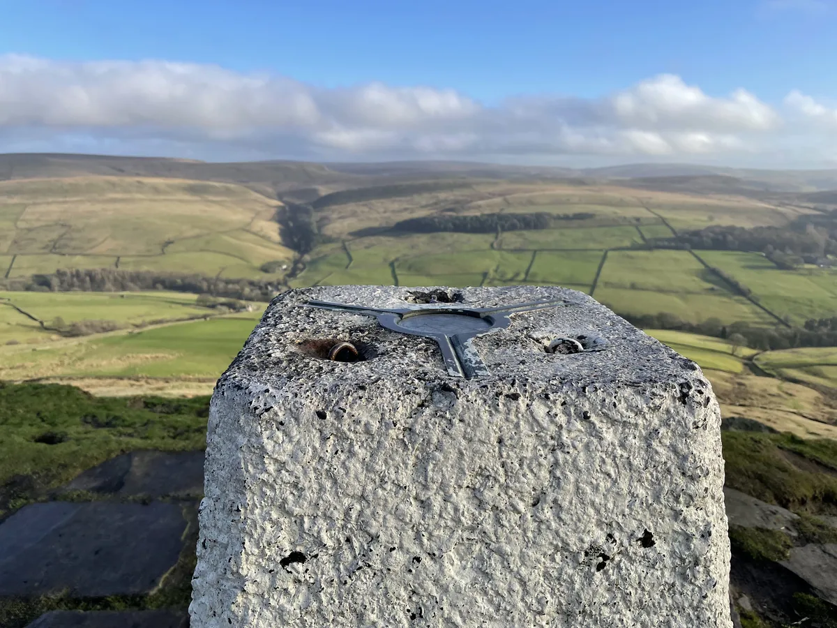 ModerateShutlingsloe6.4 mi · 3–4 hrs · 429m
Subscribe for updates on new hikes and National Parks
One email a month with new hikes and routes. No spam.