


Hill data: The Database of British and Irish Hills v18.6 (CC BY 4.0)Height854 m2,802 ft
Grid RefSH 82707 36951
OS MapOL18OS Explorer
AreaThe Arenigs
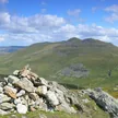
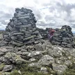
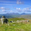
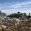
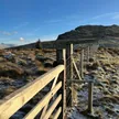
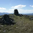
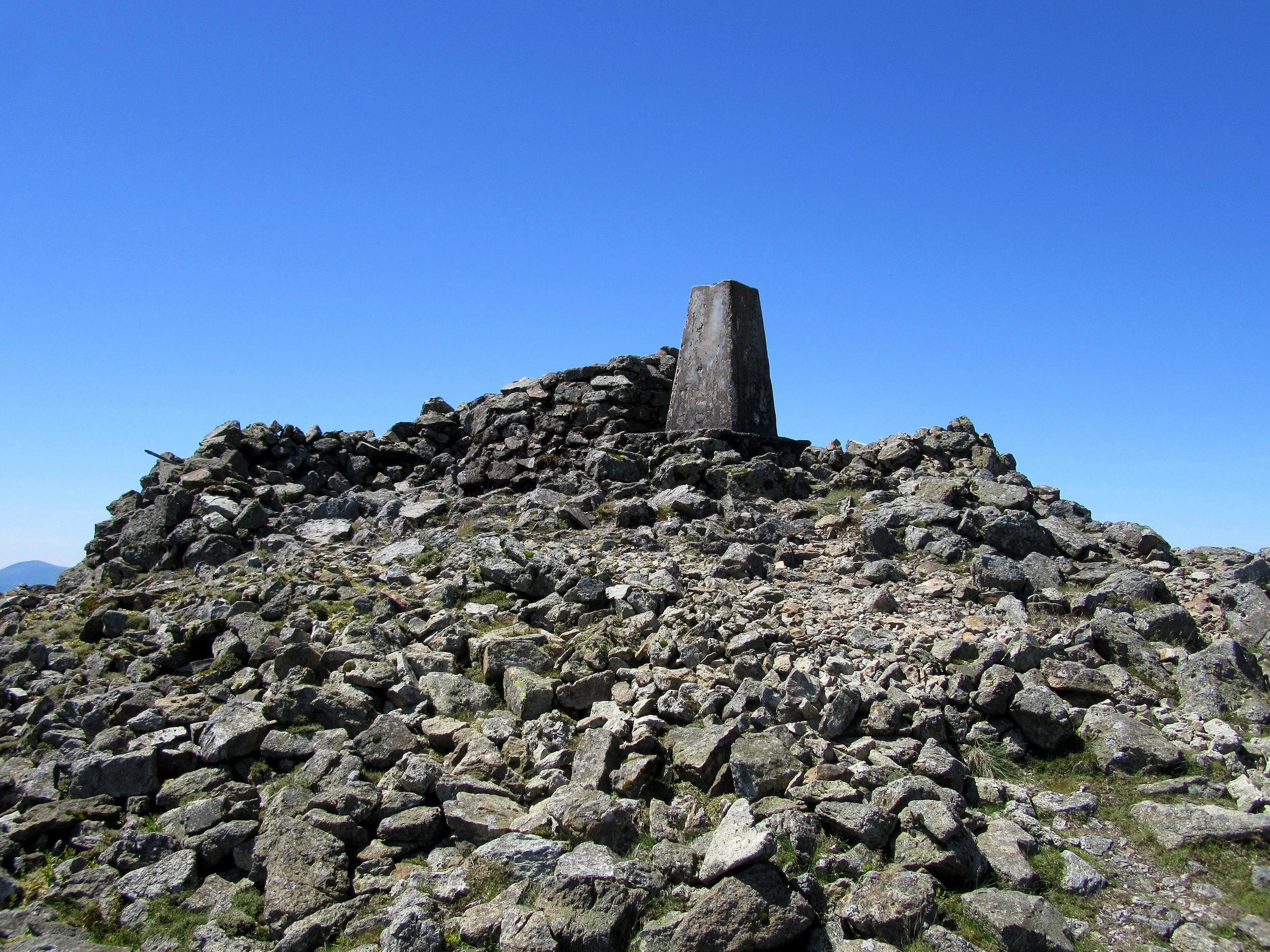
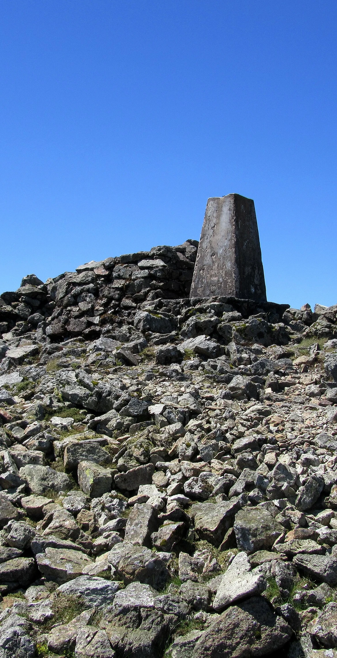
Meaning 'great high ground', Arenig Fawr (854 m) is the highest of the Arenig range and stands close to Llyn Celyn. From the reservoir the easy-to-moderate climb takes about two and a half hours, with no readily identifiable footpath but an old wire fence marking the way. The summit, also called Moel yr Eglwys, carries a trig point and a memorial to eight American aircrew killed when their B-17 Flying Fortress crashed on 4 August 1943; some wreckage still lies about 300 m from the memorial.
New to the Pennants?Read our guide: What Are The Welsh Pennants?Summit Weather
Our Route
Distance5.3 mi8.5 km
Ascent530 m1,740 ft
Time3hwalking
StartSH 8169 3937Grid reference of the start
DirectionsSafety: Routes are a guide only. Carry a map and compass and know how to use them, check the weather before you go, and turn back if in doubt. You use this route at your own risk.